


TOPO Hiking | CLIMBING7.COM
Publié le
 Partager sur WhatsApp
 Partager sur Twitter
Partager sur Instagram
Partager sur Twitter
Partager sur Instagram

 Partager sur Facebook
 Imprimer le topo
 Laisser un commentaire
In the foothills of the Atlas mountains, in the Ahansal valley, a gigantic rock cathedral dominates the valley: Amsafrane. A hiking loop leads to the summit at almost 2000m, offering a panoramic view of the region. The itinerary is well-marked, with a few passages on the rocks to cross the cliffs and reach the final ridge.
❱❱ Technical summary
Type ✦ Hiking
Location ✦ Tilouguite
Region ✦ Haut-Atlas
Country ✦ Morocco
Length ✦ 12kms
Dénivelé ✦ 720m
Difficulty ✦ MD
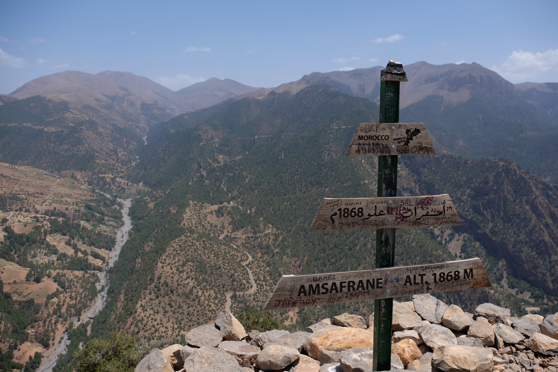
Max altitude ✦ 1868m
Duration ✦ 3h30 to 4h
Interest ✦ ★
❱❱ Access to the place
The site is on the Tilouguite to Zaouia Ahansal road, above Lake Bin El Ouidane, south of Beni Mellal. Go past Tilouguite and after a few kilometers, you'll find the gite de la cathédrale, the starting point for the hike.
❱❱ Map & topo
❱❱ Itinéraire
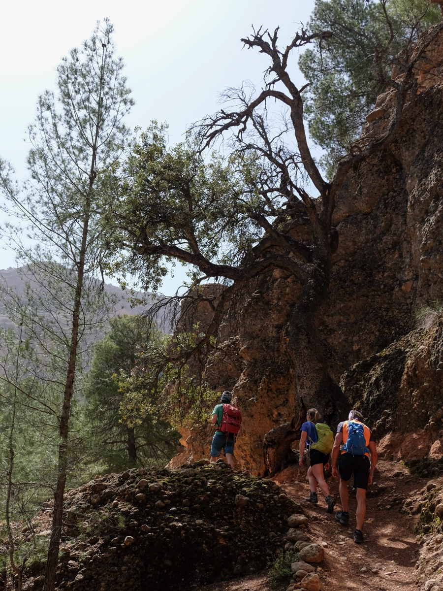
Cross the road opposite the gite and climb up a scree slope in the bed of a small dry stream to find a track in the woods above. Turn right and you'll soon find the path leading up into the forest, the starting point of the loop.
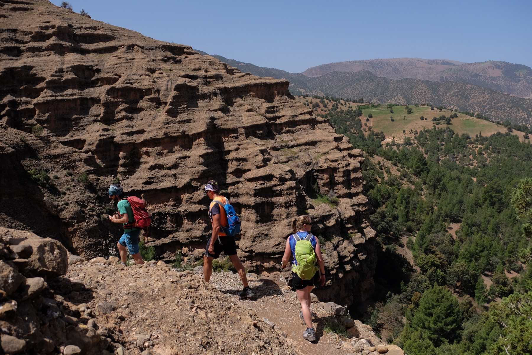
A fairly short loop on a well-marked, fairly obvious route. A few rock-climbing sections, but all fitted out: rock walk, rock reinforcement, lifeline on the most exposed section.
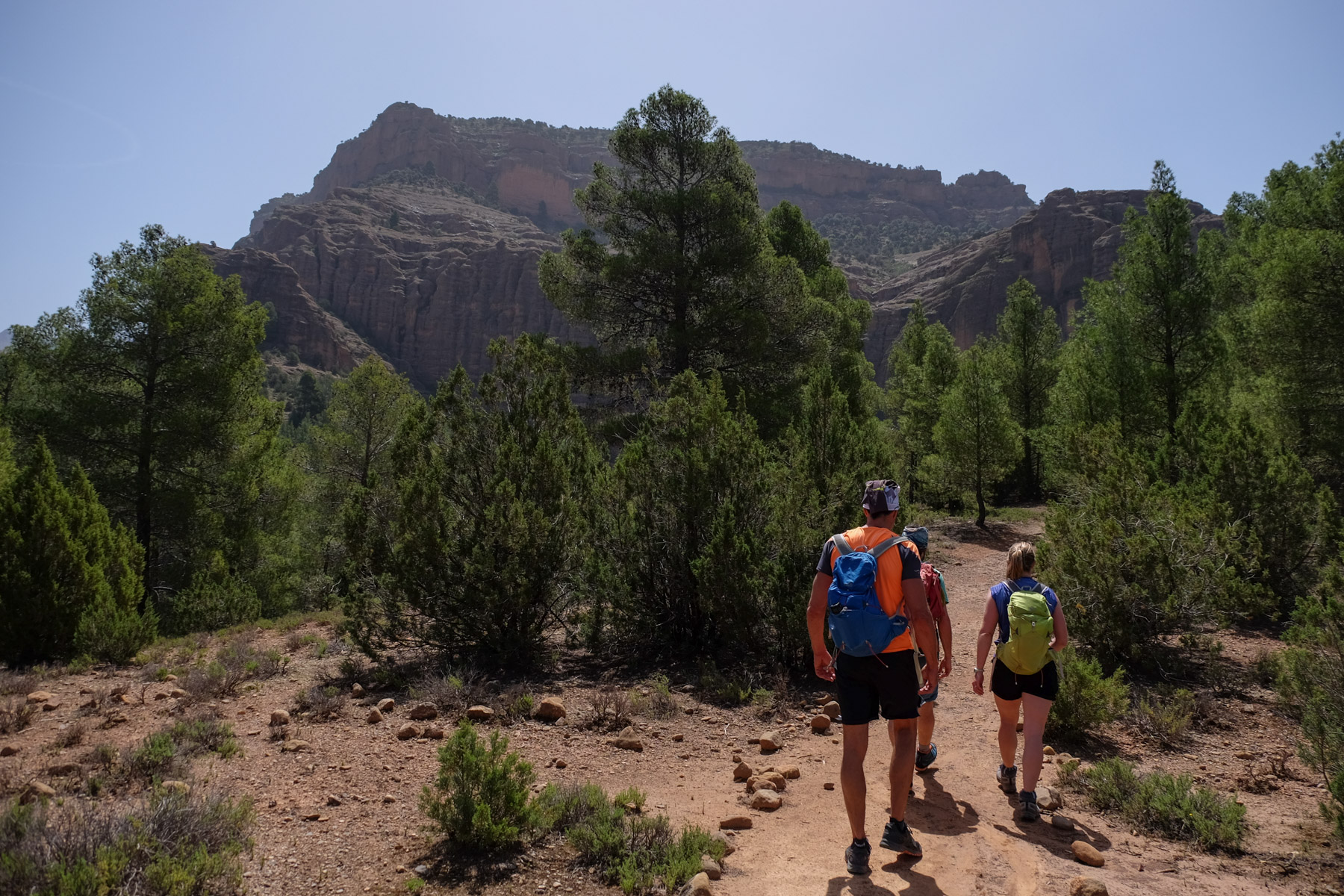
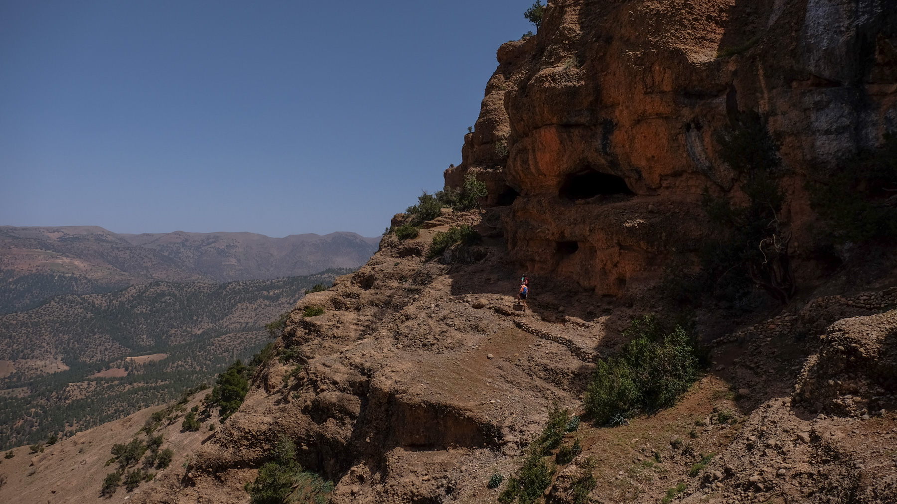
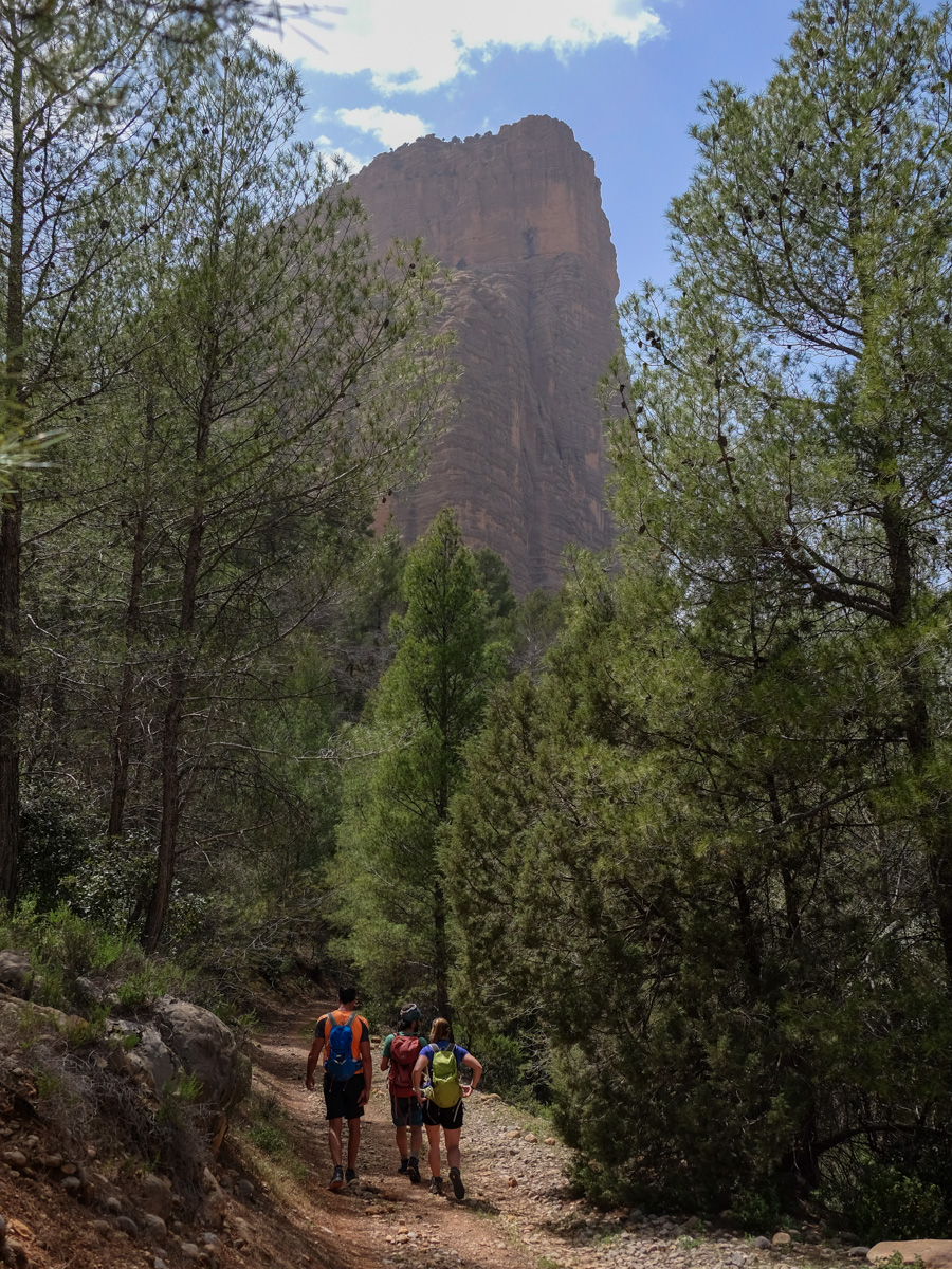
Follow the path as it winds its way up through the undergrowth. Higher up, you come to the foot of beautiful, sculpted, horizontally undulating pudding formations, which you cross on a path cut into the rock. Above, the north-west walls of the Cathedral are clearly visible. Continue upwards to reach the rear of the pyramid. This is where you'll find the fork in the path leading southwards for the return journey.
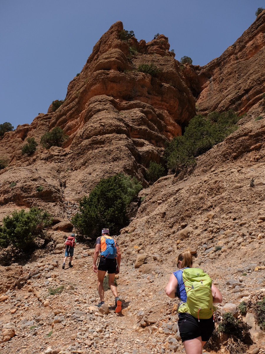
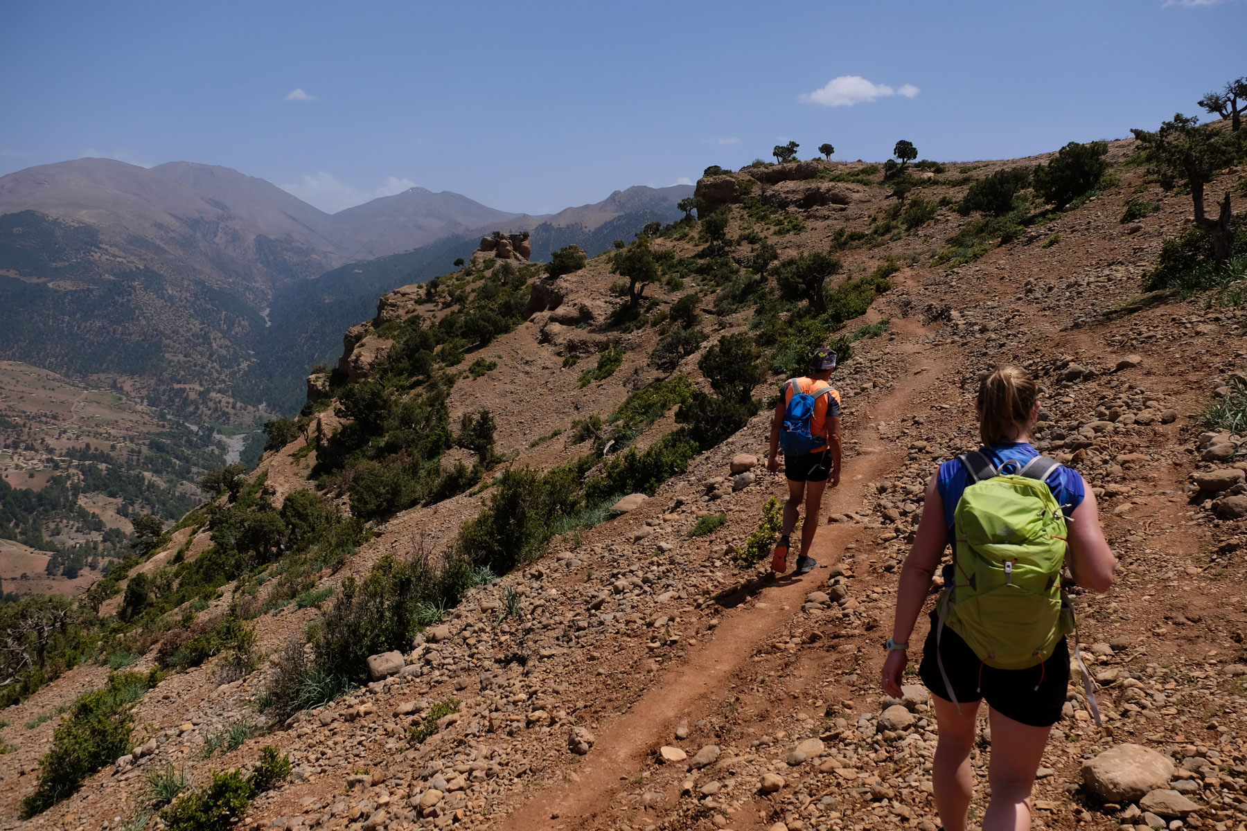
Continue to the south-east side and the path soon turns around to climb an equipped passage (aerial, lifeline) and return via the back of the cliffs, skirting them and joining a north-west-facing ledge. Follow this wide ledge, overhanging the itinerary of the 1st section and heading further and further north-east. There are 1 or 2 landings to cross, a few passages and you end up on the ridge with the summit in sight. Climb the final 10m to reach the top of a large boulder that serves as the summit of Amsafrane at 1868m. Beautiful panoramic view over the valley. Base-jump start for those who want to save time on the descent.
Retrace your steps to the junction behind the Cathedral. This time, head south and follow the path through the woods, which gradually skirts around the large cliff, ending up on a track. Take the track on the left, passing under 300m or 400m of cliff face to return to the starting gite without difficulty.


Leave a Reply