TOPO
Ayagaures, Gran Canaria
Hiking
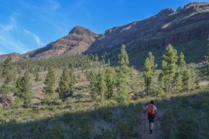
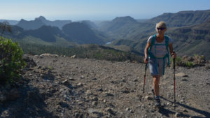
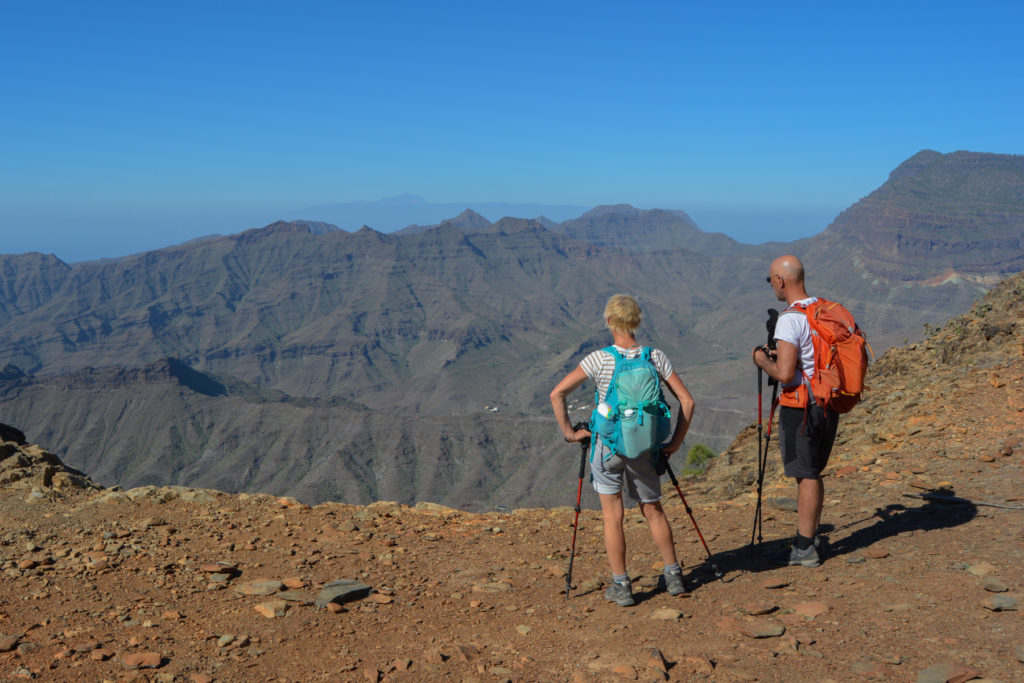
To the south of the island, a little above Maspalomas, large, fairly deep valleys run due north, separated by long, somewhat bare rocky ridges, a local version of the wadis of the Middle East, but with more vegetation. The Ayagaures loop allows you to explore one of them, starting from the dam above the Presa d'Angostura. Although not exceptional, the route soon offers a beautiful view of the valley and, on the way back, a crossing of the Ayagaures barranco, which looks like an oasis. It's on the track back to the starting point that you discover the spectacular sculpted walls you passed over on the outward journey.

Technical summary
Type ✦ Hiking
Location ✦ El Juncal
Region ✦ Gran Canaria
Country ✦ Spain
Length ✦ 15kms
Difference in altitude ✦ 780m
Difficulty ✦ MD
Max altitude ✦ 1110m
Duration ✦ 4h30 to 5h
Interest ✦ ★
Access to the place
From the freeway above Maspalomas, take the small road up to Los Palmitos on the G-504. Follow the road to the end to reach the village of Ayagaures. Cross the village and continue up to the dam and Ayagaures Alto. You can park either in the last bend below the dam or, with a few hundred meters of track, right up to the dam where there is a large parking area (and possible bivouac).
Itinerary description
Hiking to the start 5'
Climb the switchbacks or simply cross the dam to start the loop on the east side, below the hamlet of Ayagaures Alto. The S-57 trail heads towards Tunte.
Course 3h30
This is a long loop that starts and returns at the dam. Well-marked trails, with little signposting but signposts at important crossings. The return section via Las Tederas is signposted as closed due to scree, but in fact it's absolutely possible to go through without any real difficulty, and it's a very small section.
Part 1 (2h)
Climb the cemented track on the west side of the dam and pass through the houses overlooking the lake. Continue on trail S-57 to Tunte above. The trail gradually rises into a sort of pine-covered valley, which you cross. At the end, it climbs a little more to reach a pretty viewpoint, on a sculpted rocky shoulder, above the casas de Taginistal (which you won "t see until you return). About 1h from the start.
At this point, the trail bends slightly to the east, climbing up to a pass to the right of Montana Negra, which we'll actually skirt from behind. Walk along a short stretch of track and pick up the path again towards Tunte. You continue to go deeper, discovering the valley floor, which forms a large cirque lined with pine trees. After about 2 hours' walking, you reach the junction for the return via Las Tederas.
Part 2 (1h30)
Descend steeply into the pine forest, cross the track and continue below in narrower switchbacks. You plunge down to the bottom of the barranco, but remain fairly high up on its left bank. After 20 minutes, you pass a dry fountain.
Continue downhill to finally enter a more open, vertical section. Indeed, on the way there's a scree corridor to cross, quite steep but not too difficult (a rope is attached to help). You can clearly see the bed of the barranco and soon reach the rural houses and palm grove. Wadi atmosphere!
Continue along the main path, crossing the dry torrent bed at the very bottom, and climb back up to the carriage road leading from the dam.
Back
Just follow the trail along the right bank of the barranco. Halfway along, you'll discover the splendid sculpted walls of the left bank, until you catch sight of the starting lake. Fork left to descend a rough, little-used path and reach the edge of the lake. A mini trail that follows channels, like Omani falajs, along small walls above the water takes us back to our starting point.


Leave a Reply