


TOPO Hiking | CLIMBING7.COM
Publié le
 Partager sur WhatsApp
 Partager sur Twitter
Partager sur Instagram
Partager sur Twitter
Partager sur Instagram

 Partager sur Facebook
 Imprimer le topo
 Laisser un commentaire

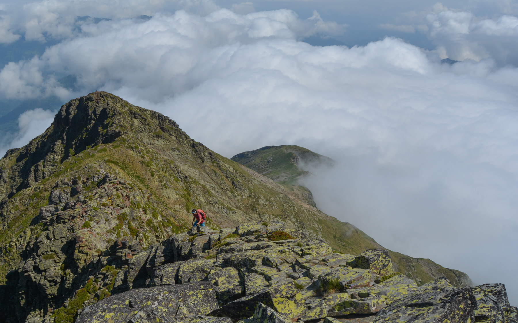
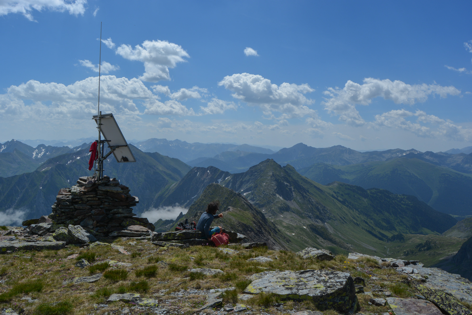
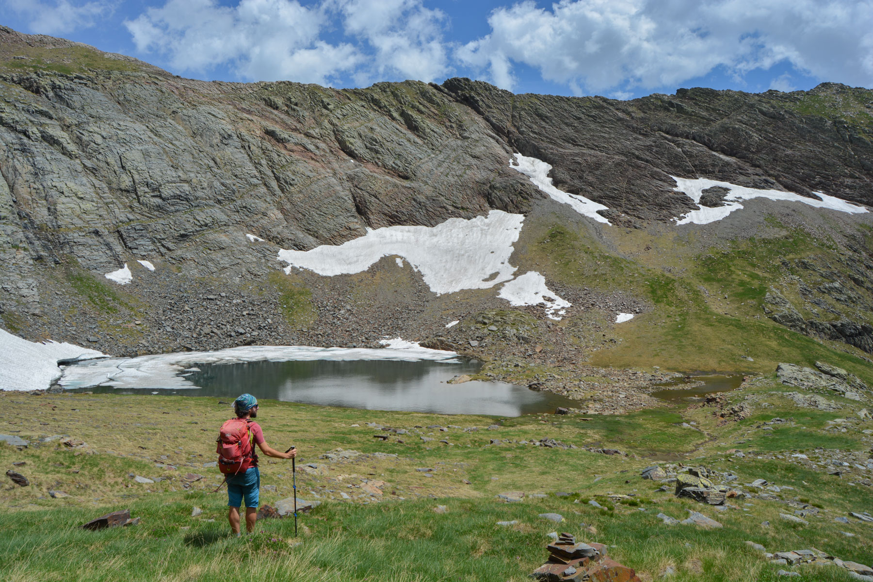
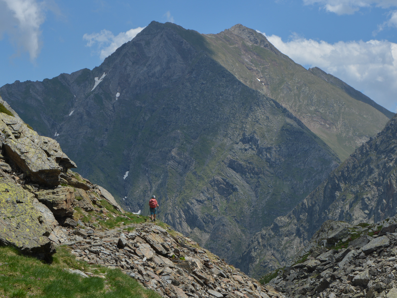
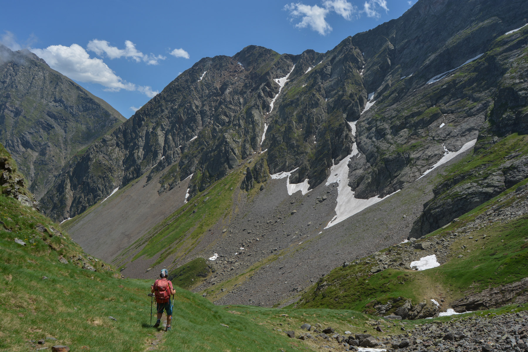
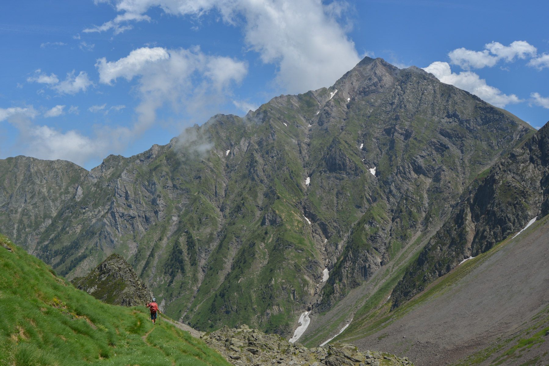
At the end of the Biros valley in the Haut-Couserans, this superb looped route climbs the Mail du Bulard north ridge to switch to the Spanish side before returning via the cross-border trail from Port d'Orle. This alpine hike, an idea from Respyr magazine, is difficult because of its impressive vertical drop and the 500m of progress on the rocky ridge leading to the summit, but it's easily one of the most beautiful in the Pyrenees. The scenery is superb, with splendid views of Mont Valier and the Maladeta massif, not to mention the spectacular view of the ruins of the "Mangeuse d'hommes", an early 20th-century mining town built at almost 2500m on the north-facing slope, a vestige of an ancient world now abandoned. In short, a demanding route for experienced hikers only, but well worth the detour!
❱❱ Technical summary
Type ✦ Alpine hiking
Location ✦ Bonac-Irazein
Region ✦ Ariège
Country ✦ France
Length ✦ 19km
Vertical drop ✦ 1900m
Difficulty ✦ D / III+
Max altitude ✦ 2750m
Duration ✦ 9h
Interest ✦ ★★
❱❱ Access to the place
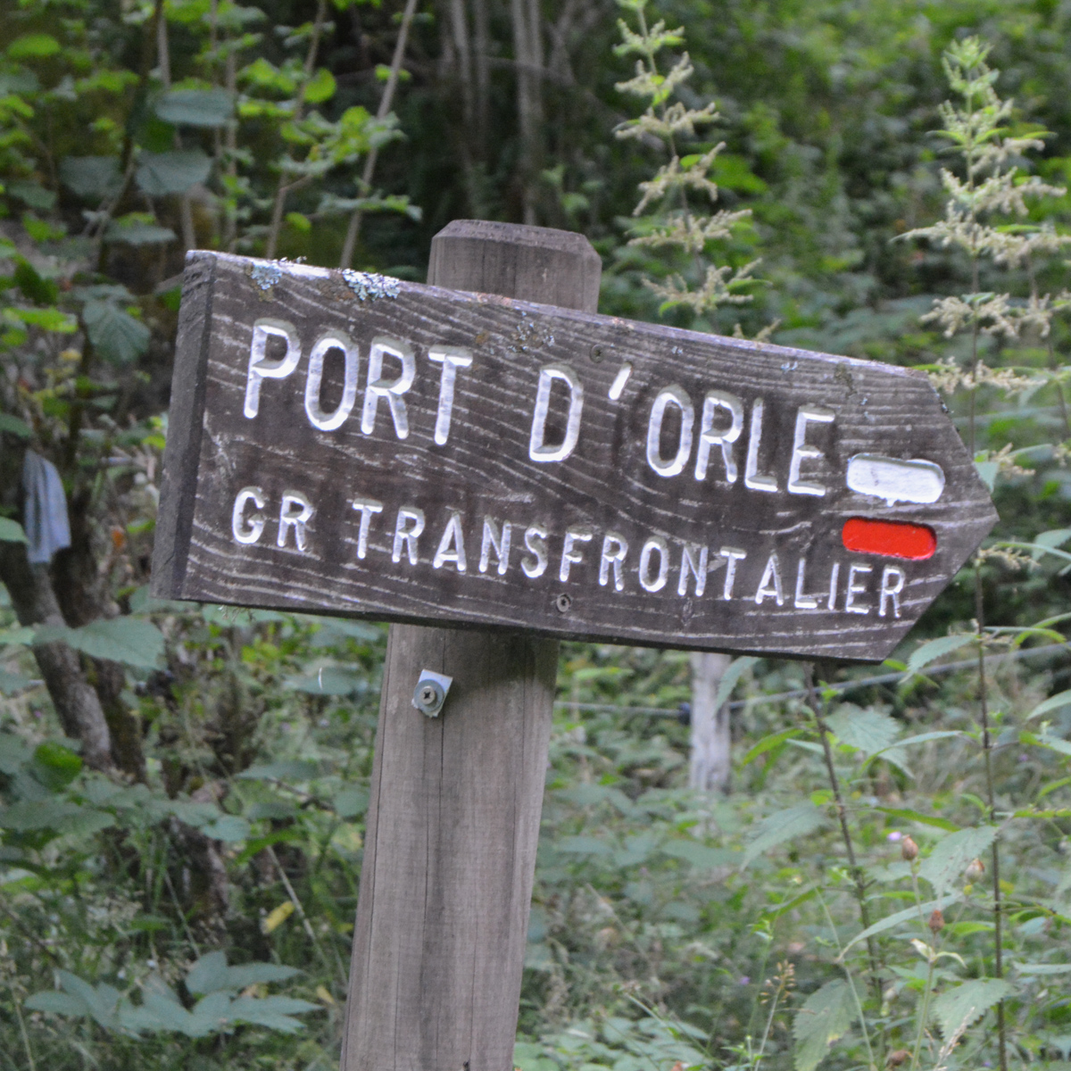
From Saint-Girons, continue south to Castillon-en-Couserans, then further along the D4 along the River Lez. Before reaching Bonac-Irazein, turn left onto a mini road that leads to the Pucelle parking lot (cul de sac). Large parking lot and start of the cross-border trail to Port D'Orle (waterhole).
❱❱ Map & topo

❱❱ Itinéraire
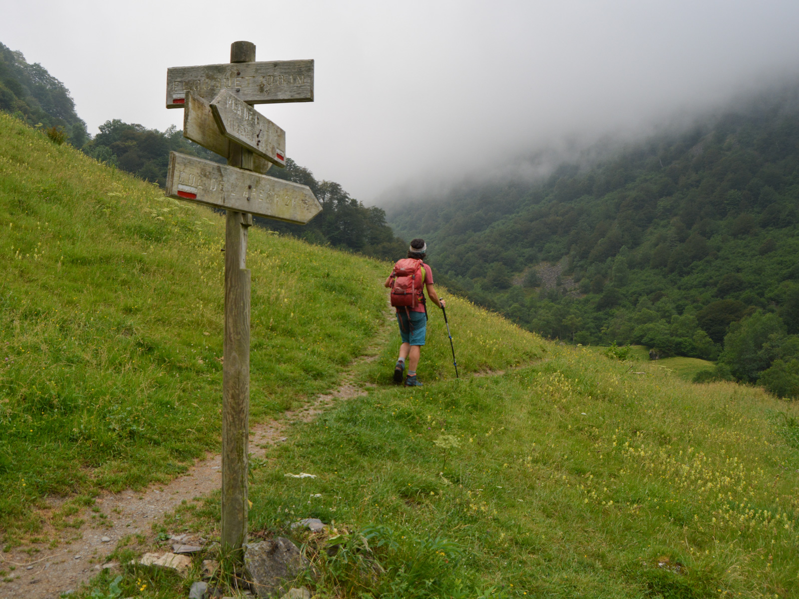
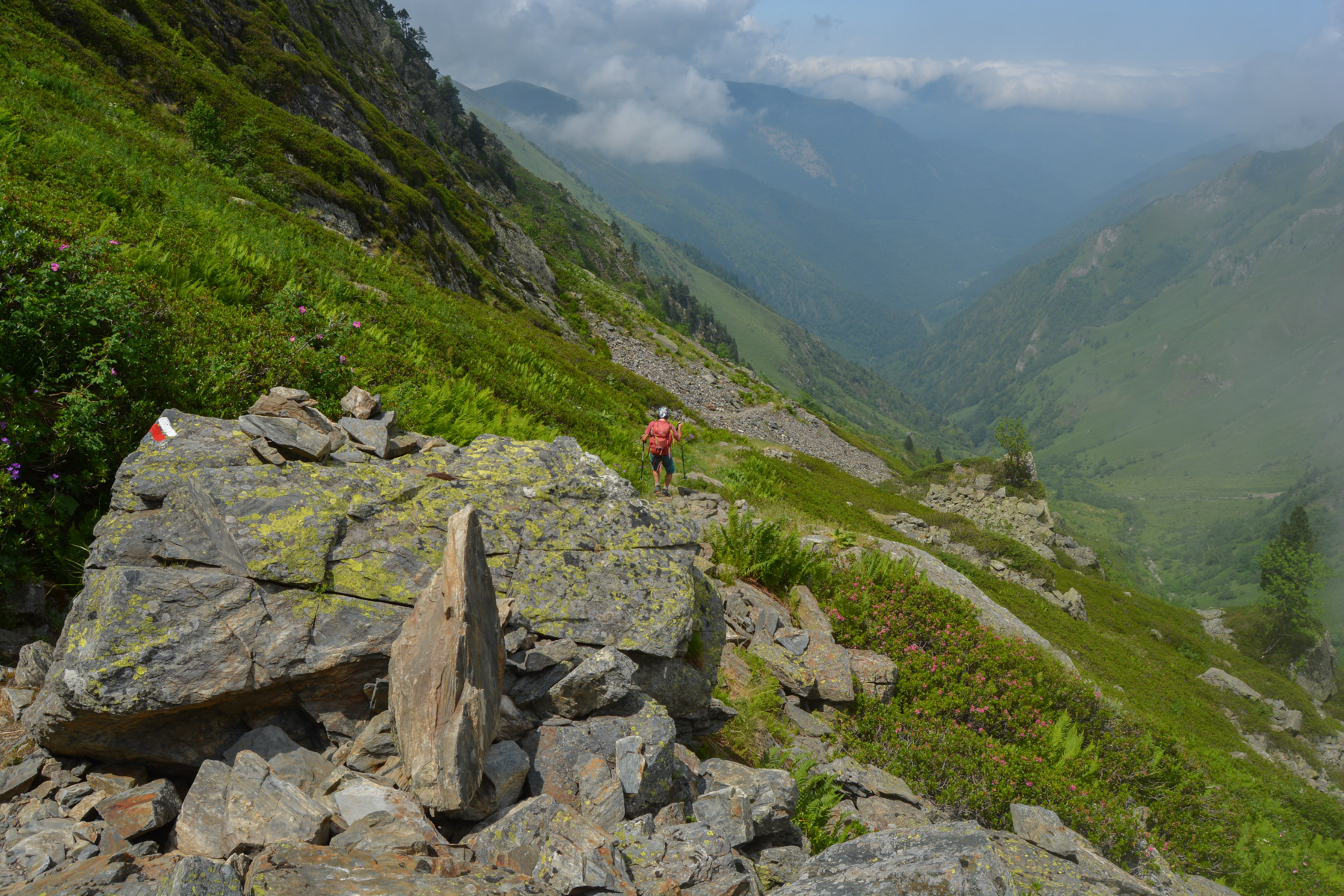
Follow the path on the right bank, which gradually climbs through the undergrowth to rise above the torrent. You go deeper into the valley, and once you've come out onto a large meadow, you'll find the fork in the road, with the return route from Port d'Orle on the left and the start of the ascent to Col de l'Arech on the right.
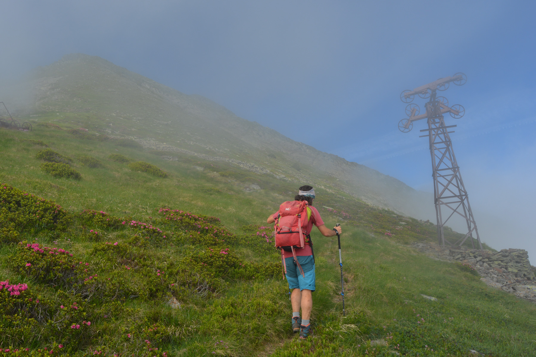
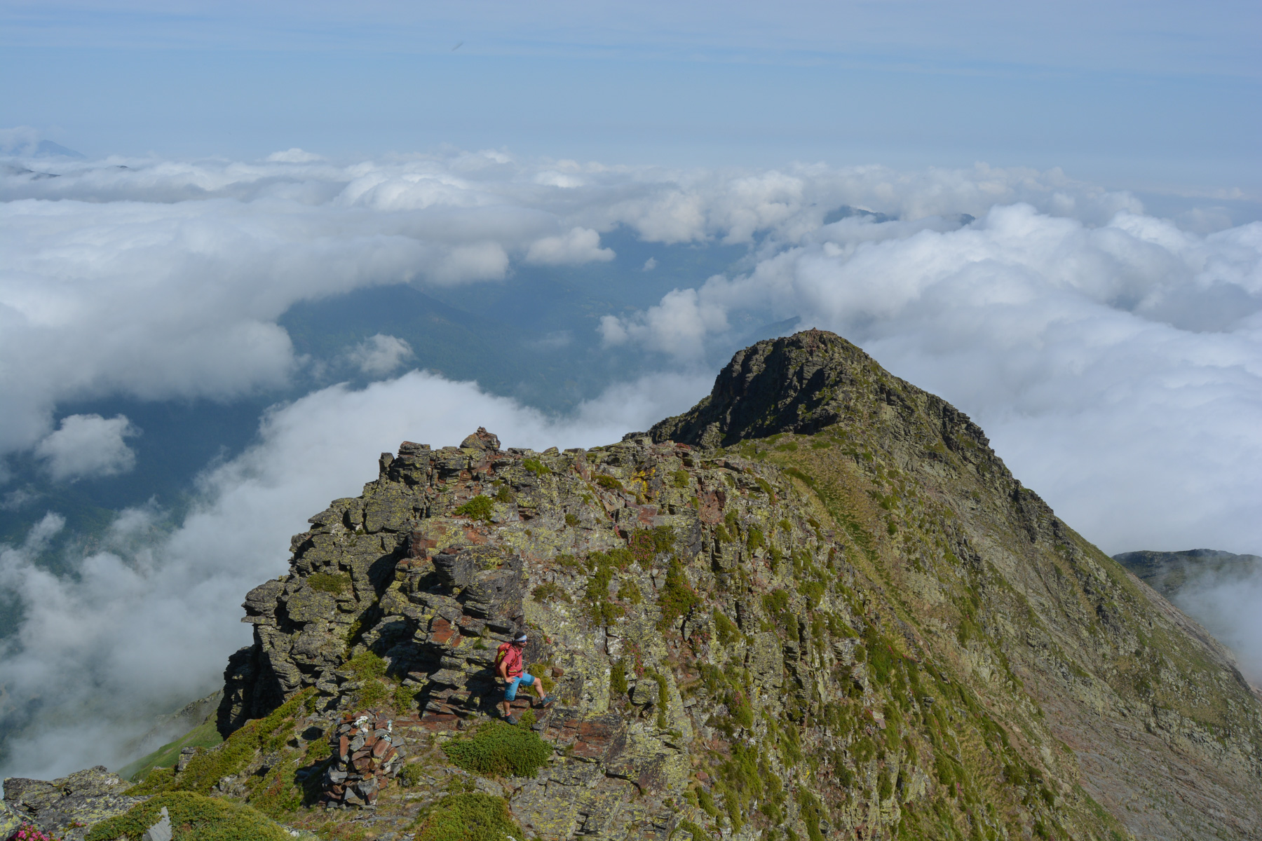
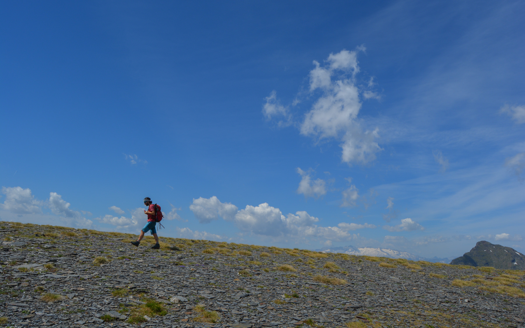
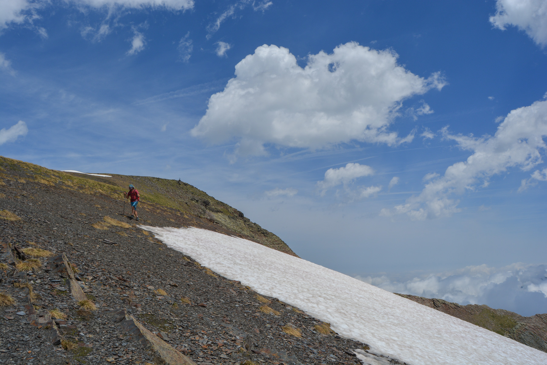
The loop is about 19kms long, with a significant vertical drop of 1900m, all on the ascent of Le Bulard. The route is fairly straightforward, even if the ridge path and the Spanish side of the Bulard are not always well marked on the ground. The obligatory 500m of ridge climbing is very aerial and in places quite exposed, but of accessible difficulty without a rope (III/III+). This section requires good footing and experience of alpine progression.
A hot descent! A good 1400m of steep descent for almost 1 hour, following the well-marked GR 53 trail. Arriving at the Hounta hut, the path crosses the torrent below to cross to the right bank. There's still some way to go, on a less steep slope, before returning to the original fork in the meadow and finishing on the approach path in the opposite direction.
Topo of the Mail du Bulard North ridge on the Chumacraju website
The topo of this route is also described in Randonnées dans les Pyrénées ariégeoises by Michel Grassaud and Georges Véron (1992).


Leave a Reply