


TOPO Hiking | CLIMBING7.COM
Publié le
 Partager sur WhatsApp
 Partager sur Twitter
Partager sur Instagram
Partager sur Twitter
Partager sur Instagram

 Partager sur Facebook
 Imprimer le topo
 Laisser un commentaire
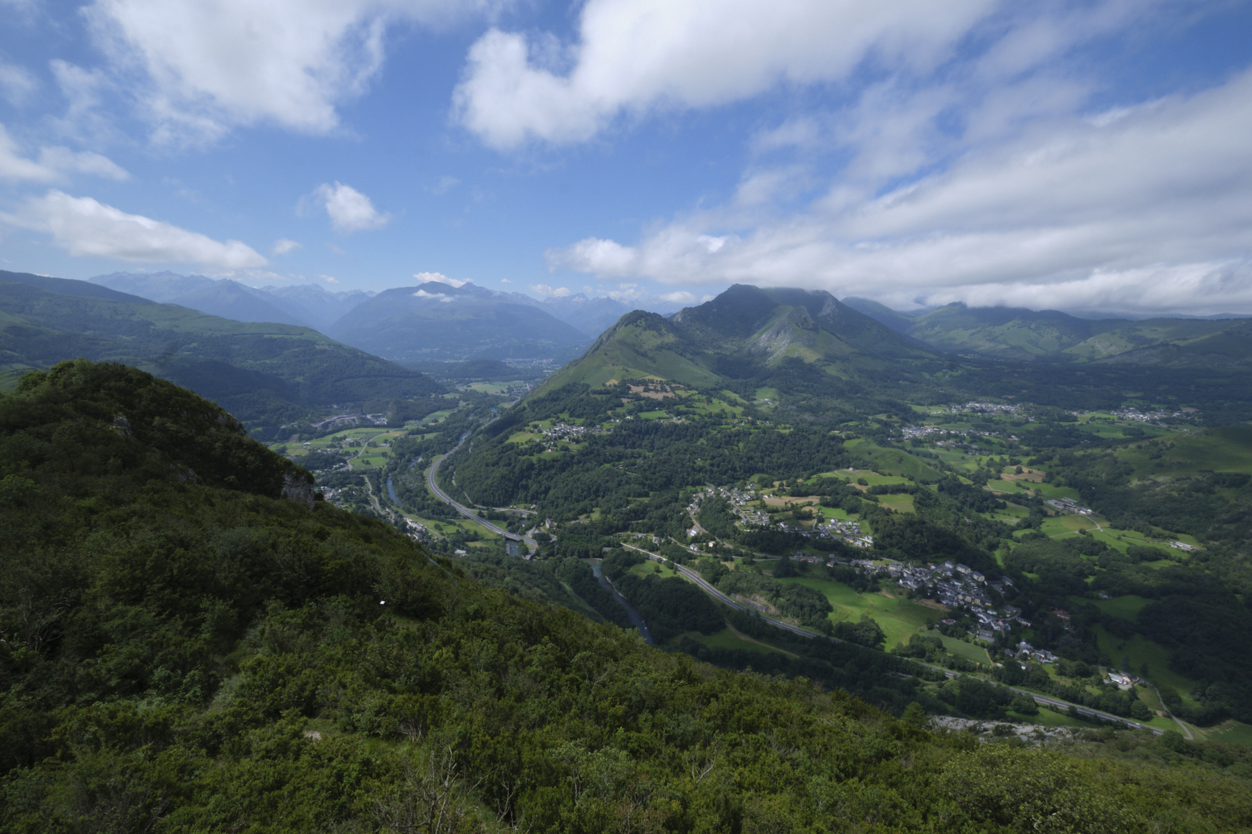
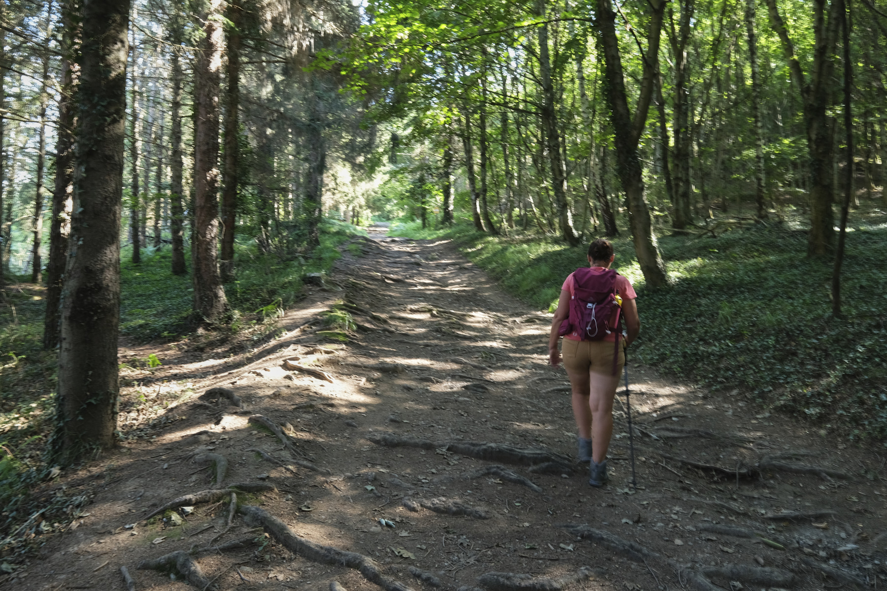
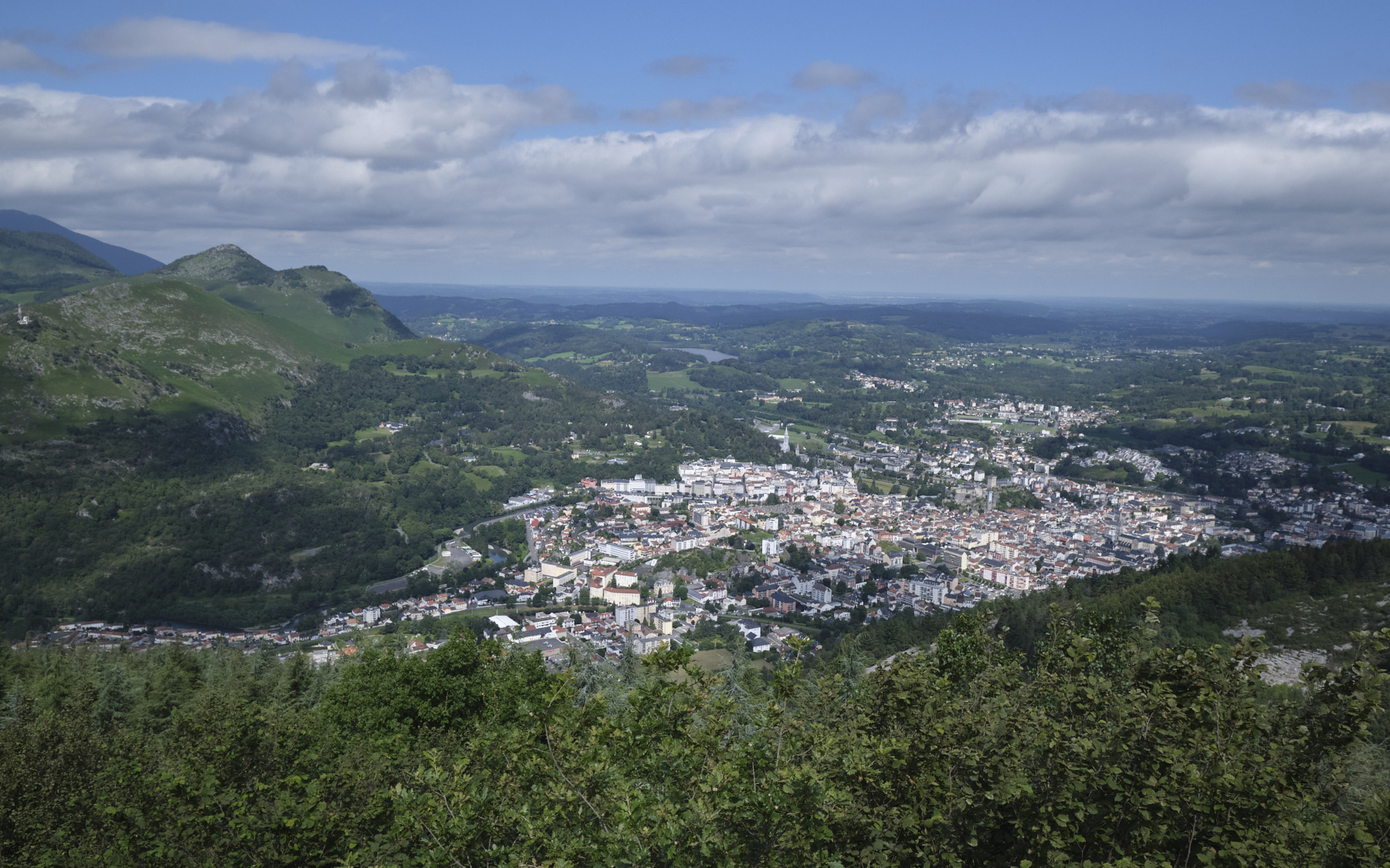
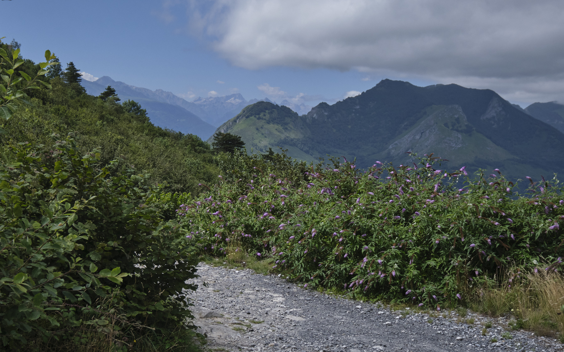
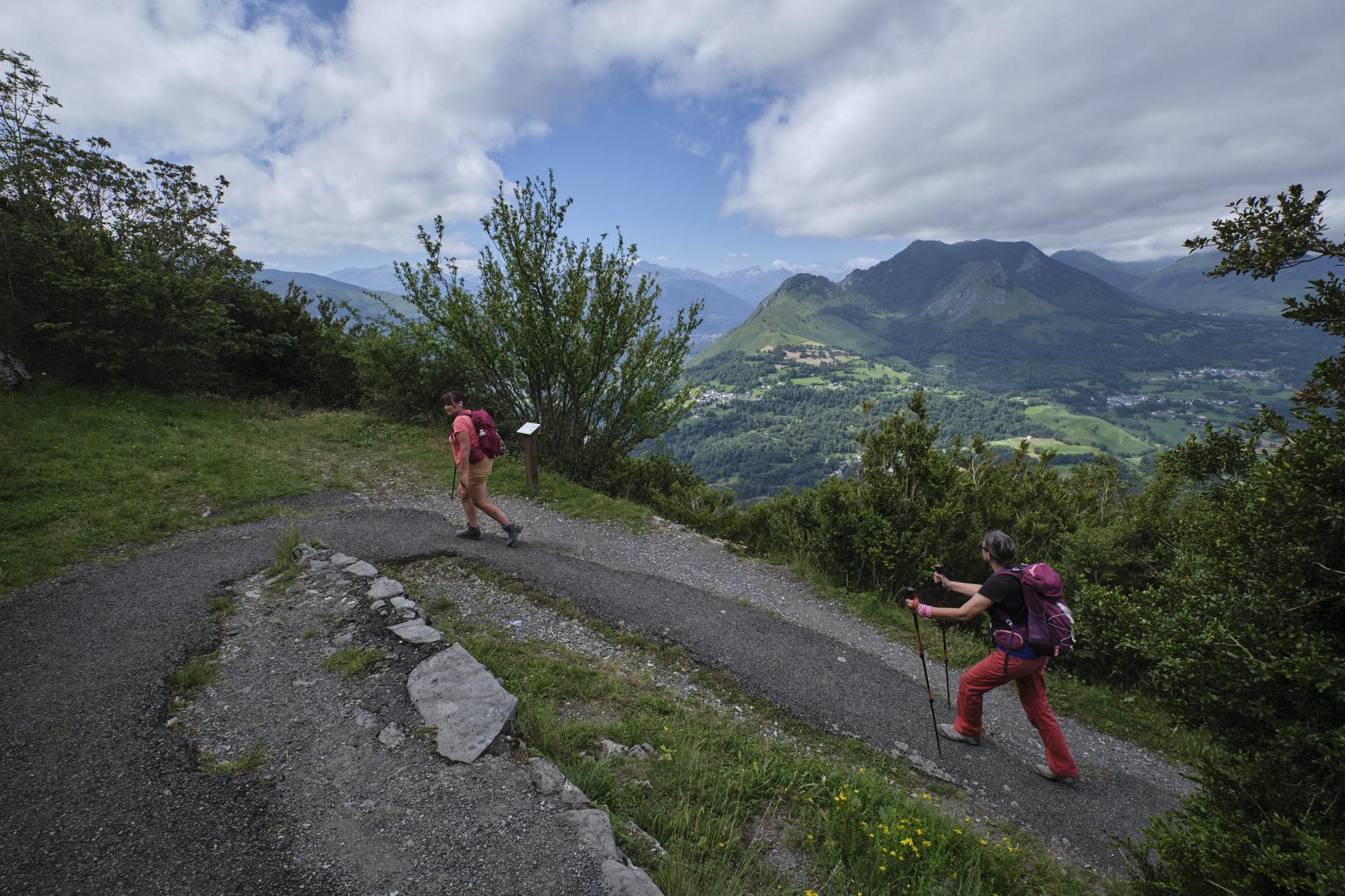
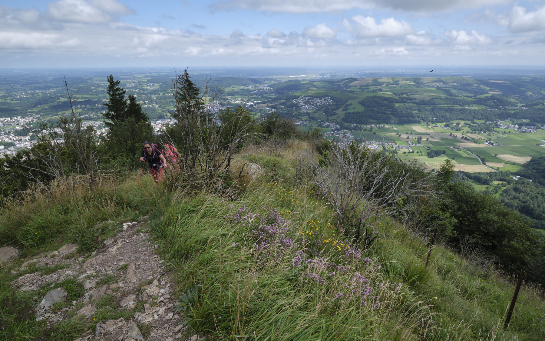
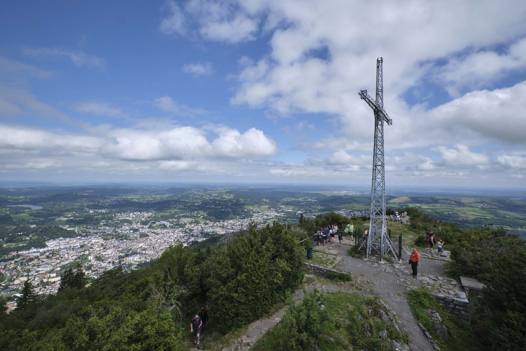
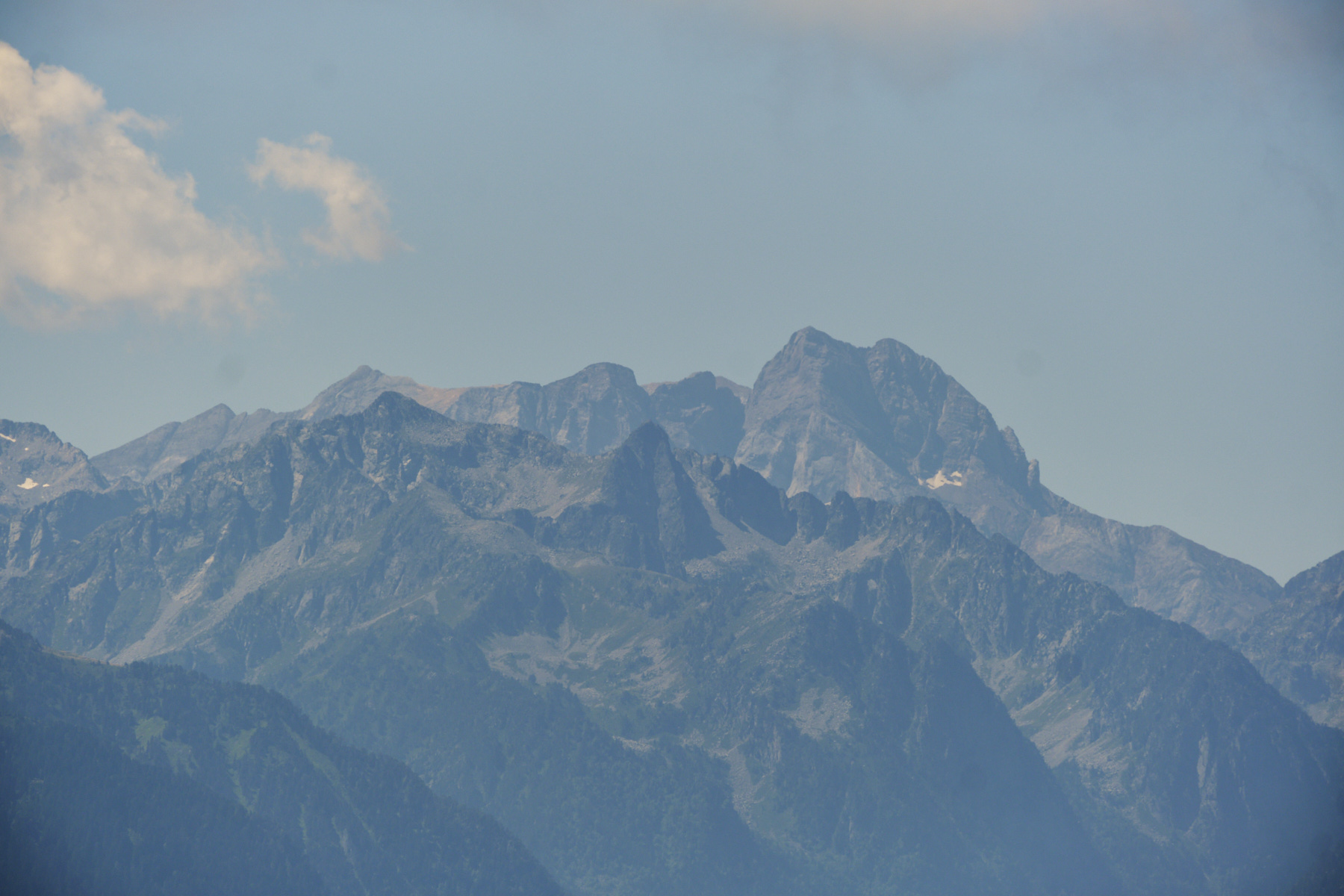
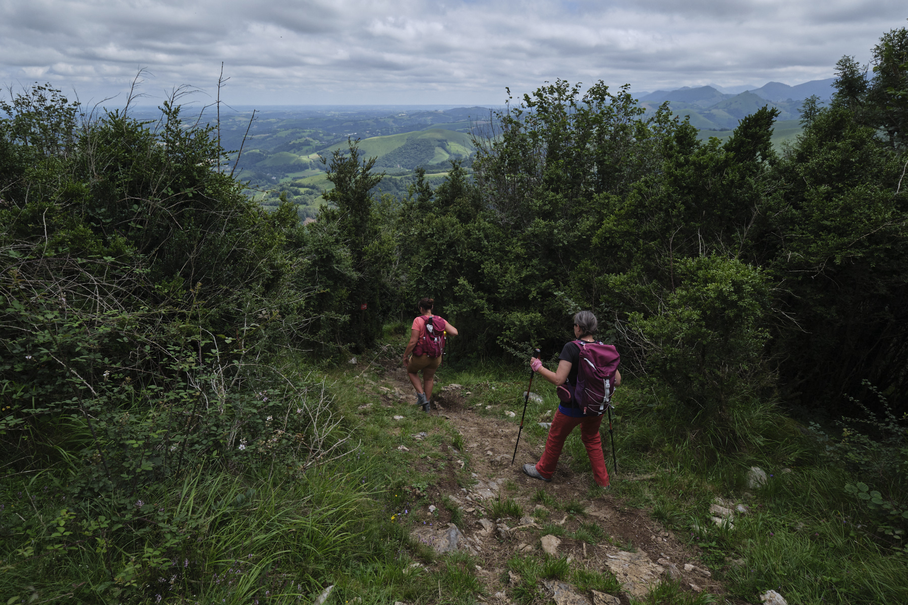
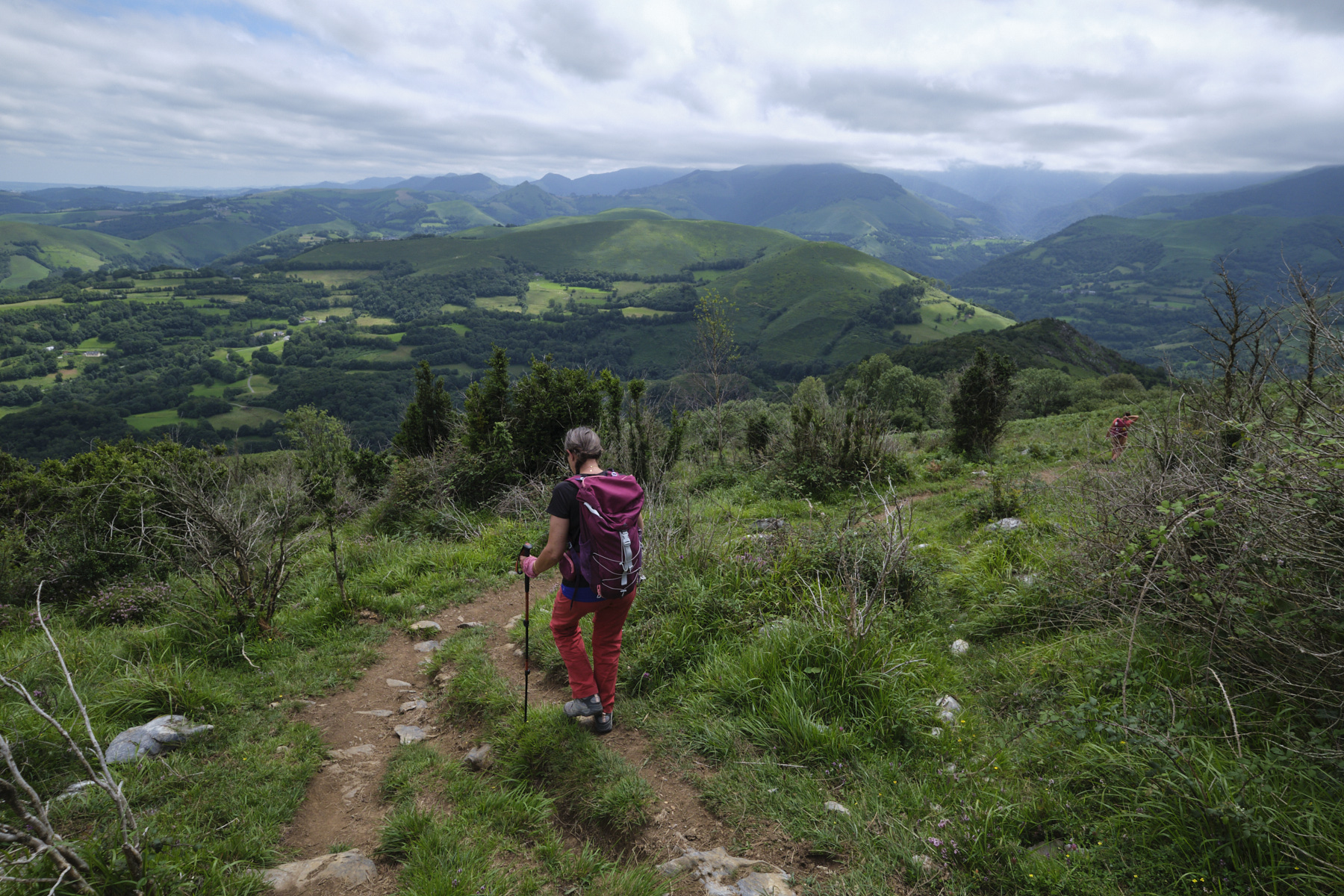
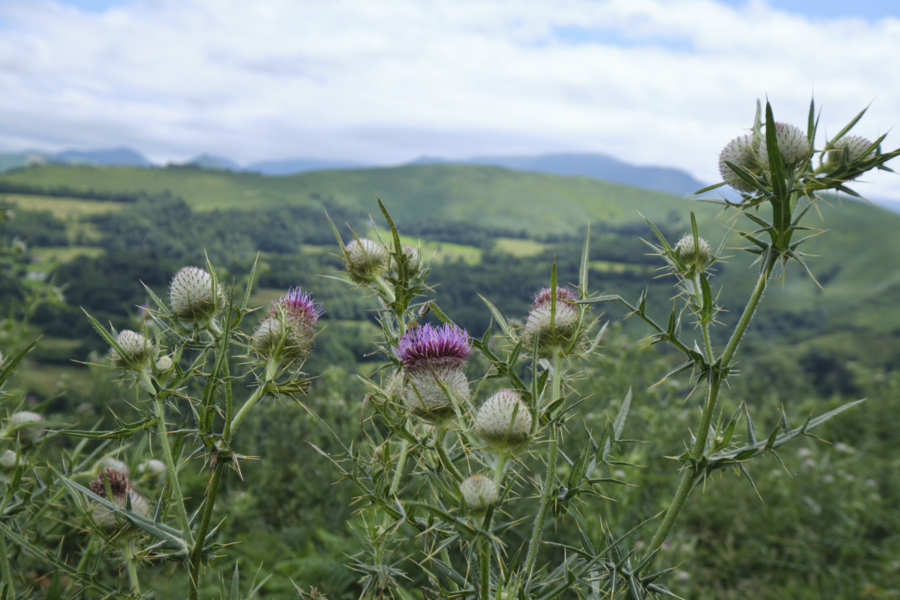
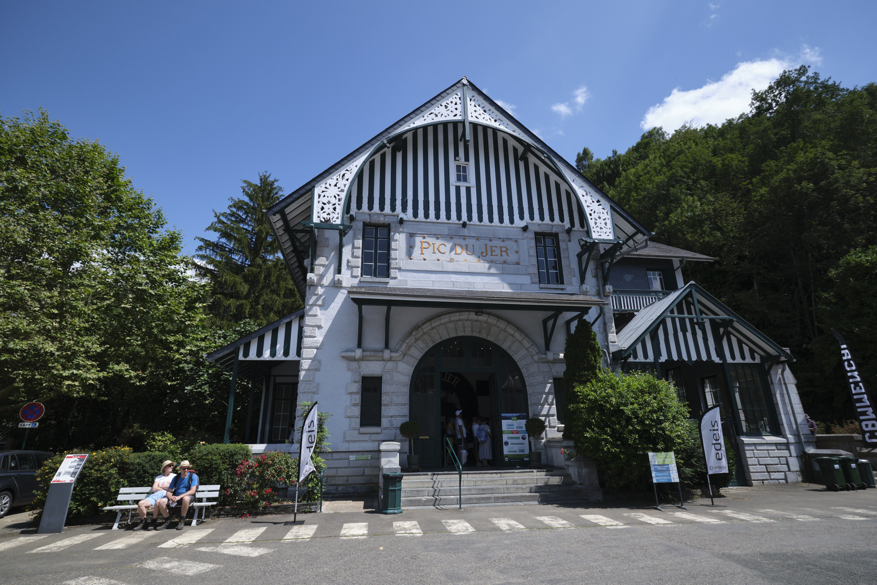
The ascent to the Pic du Grand Jer is a very accessible hike on an obvious and well-maintained path, offering an exceptional panorama of the Pyrenean chain and its 3000m peaks, including the Vignemale. The ascent is popular, especially in summer, and the summit even more so, as the funicular, dating back to 1900, enables everyone to get there. On the other hand, the loop via the eastern slope and the Mail de Castillon is less obvious, with steeper slopes, a steeper path and a need for a sense of direction to return to the Col des Trois Croix.
❱❱ Technical summary
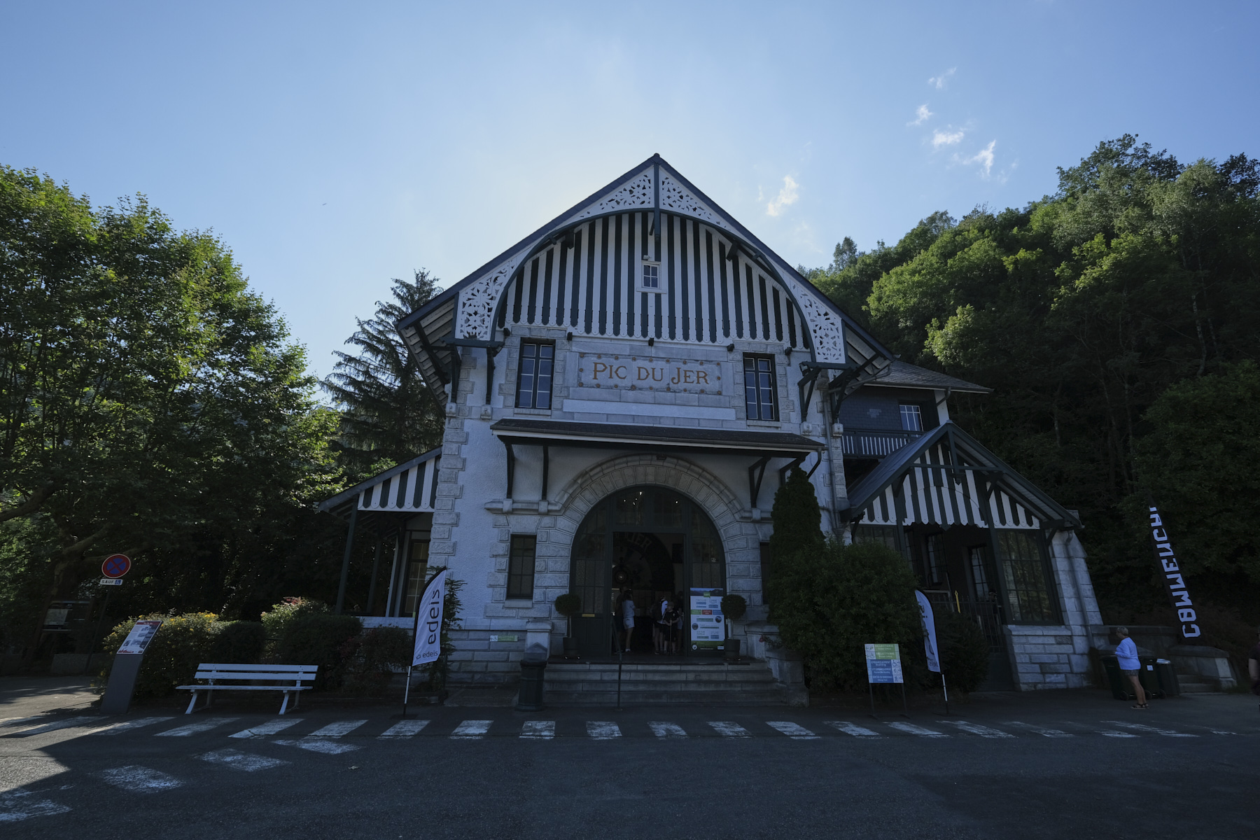
■ S tarting point: Pic du Jer funicular parking lot, Lourdes, Hautes-Pyrénées (65)
■ Type of route: mid-mountain loop hike
■ Distance: 8.7 km
■ Cumulative elevation gain: +560 m
■ Cumulative negative altitude gain: -560 m
■ Estimated total time: 2h30 to 3h30
■ Min and max altitude: 420 m / 950 m
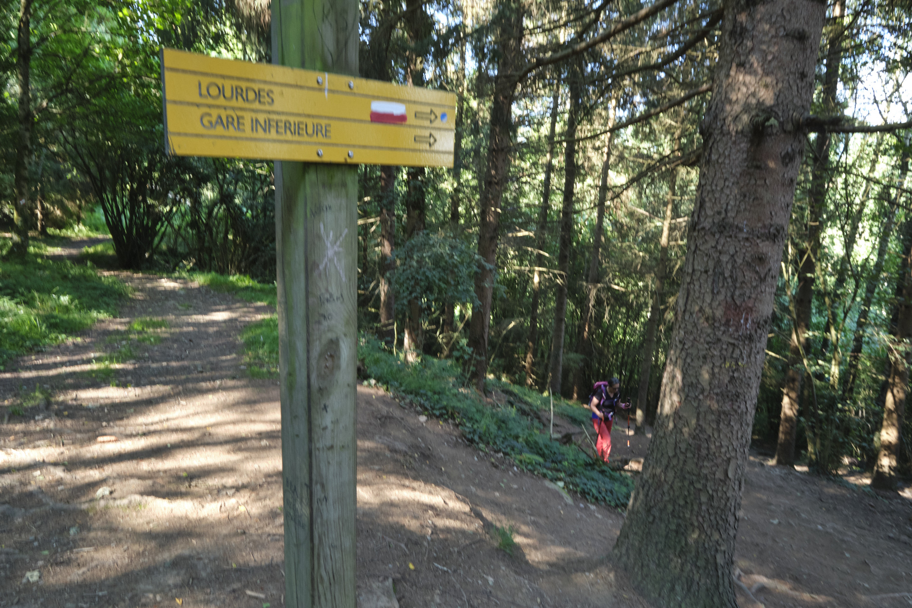
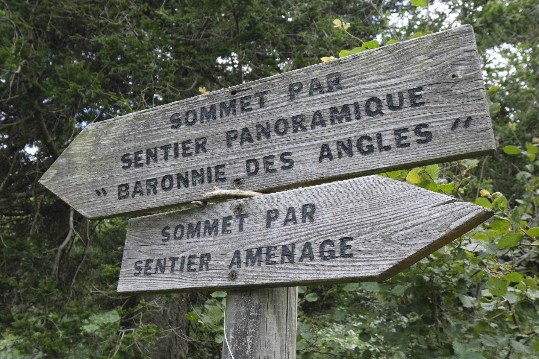
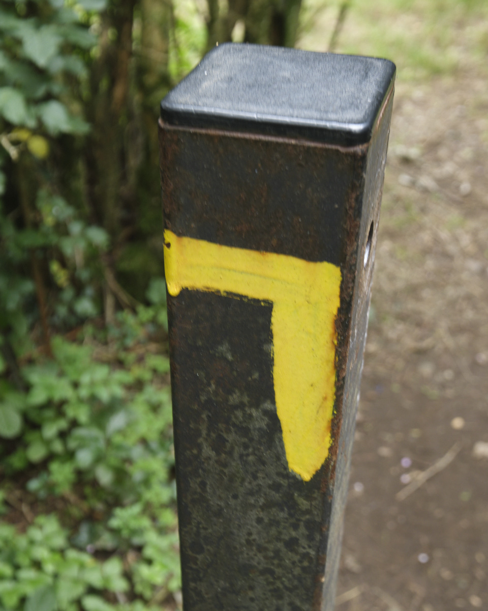
■ S ignposting: GR 78 in part, PR Yellow but not always clearly visible, yellow signposts on the way up.
■ Equipment in place: none
■ Equipment required: none
Difficulties: none for the ascent along the prepared trail. A finer, steeper path for the second part via the Mail de Castillon, and a little orientation.
❱❱ Access to the place
The funicular parking lot is to the south of Lourdes, at the last traffic circle before crossing the Gave de Pau, on the D821 towards Argelès-Gazost. The hike starts in front of the funicular's lower station.
❱❱ Map & topo
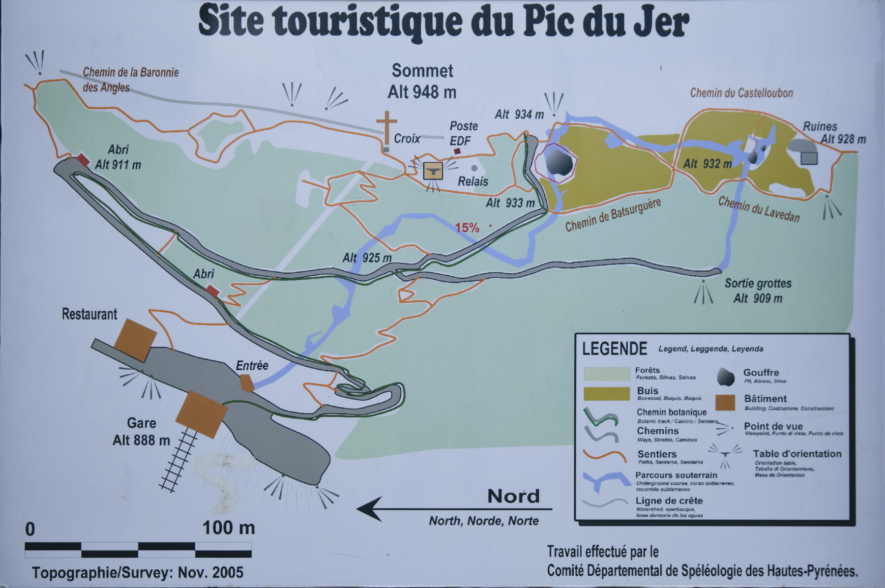
❱❱ Itinéraire
Topo of the same loop on randopyrenees.blogspot.com


Leave a Reply