

TOPO Hiking | CLIMBING7.COM
Publié le

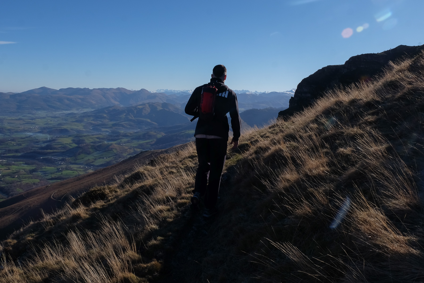
Above Saint-Étienne-de-Baïgorry, a round valley enclosed by a gently sloping ridge. Munhoa to the east, Col d'Ordanzia to the south, Muhogain to the south-west and Olharandoï to the west. That's what this beautiful loop itinerary offers, covering the ridges from east to west, with superb panoramic views of the Basque country and the snow-capped peaks of the nearby Pyrenees. It's an accessible hike with no major difficulties, but quite physical on the initial ascent and the steep, sustained final descent.
❱❱ Technical summary
Type ✦ Hiking
Location ✦ Saint-Étienne-de-Baïgorry, Basque Country
Region ✦ Pyrénées Atlantiques
Country ✦ France
Length ✦ 14,6kms
Vertical drop ✦ 1090m
Difficulty ✦ MD
Max altitude ✦ 1021m
Duration ✦ 4h30 to 5h30
Interest ✦ ★★
❱❱ Access to the place
Go to Saint-Étienne-de-Baïgorry, east of Saint-Jean de Luz. Cross the Nive to take the D15 and at Kortea, turn right. Follow the minor roads to Guermiette. Park on the place du lavoir.
❱❱ Map & topo
❱❱ Itinéraire
From the place au lavoir, take the lower lane (not the one to the chapel) and turn right. Follow the road past the farms, then descend to cross the Guermiette. Follow and climb the wide forest track opposite. On the crow's feet, always take the uphill option. Soon you're out of the forest and can see the Olharandoï on the opposite side. Start climbing Munhoa.
The route thus forms a loop, passing over the summit of Munhoa 1021m and then the opposite side of Olharandoï 939m. Half of the route is on the GR10, the rest on unmarked paths, some very well marked, others not very visible. The GPS or map is very useful, even if the loop is quite obvious and can be seen very well from the top of Munhoa.
Jumps are not compulsory! /:D
Climb the winding track to rise quickly and dominate the plain. Then, higher up, at a farm with a large cattle pen, you can cut straight down the slope on a fairly visible trail. It climbs steeply, but you soon gain altitude.
The main path intersects higher up, not so visible, on grassy slopes. Keep going straight up, following the pink-headed stakes. Pass a small rocky promontory and continue on until you reach the ridge between boulders at Arzainharria level. You can now see the summit of Munhoa.
Walk along the wide, rounded ridge to the summit, a large grassy esplanade offering a superb 360° panorama. If you're lucky, some Pottoks will be there to greet you.
From the summit, descend south-west on the GR10, which passes through here. At the bottom, we reach a road and the Urdanzia pass. A pretty golden-haired pottok poses for us.
Continue along the road to the only small house in the area. Here, either follow the road uphill, or take the path that runs alongside the road over the ridges.
Further on, leave the road to follow the GR10, which crosses downhill and then climbs back up to find a stretch of road below the Munhogain. Follow the GR10 along this road to the Ahartzako pass, at the foot of Olharandoï.
Not difficult. We leave the GR10 to the right to attack the hill head-on. We climb steeply for half an hour to reach the summit, where a church stands on the ruins of an ancient hermitage built in 1706. Magnificent views over the region, including the Iparla ridges to the north-west.
From the church, head due north on an inconspicuous path down the slope. The path ends steeply and rejoins the GR10 at a farm. Cross the GR road and continue straight ahead. Follow the path along the fields, descending in long, broken lines. Further down, you come to a road.
On this road, turn left to the west and fairly quickly, after a false flat, take the path down into the forest to find the Guermiette chapel at the bottom, then the parking lot at the wash-house.
Leave a Reply