TOPO
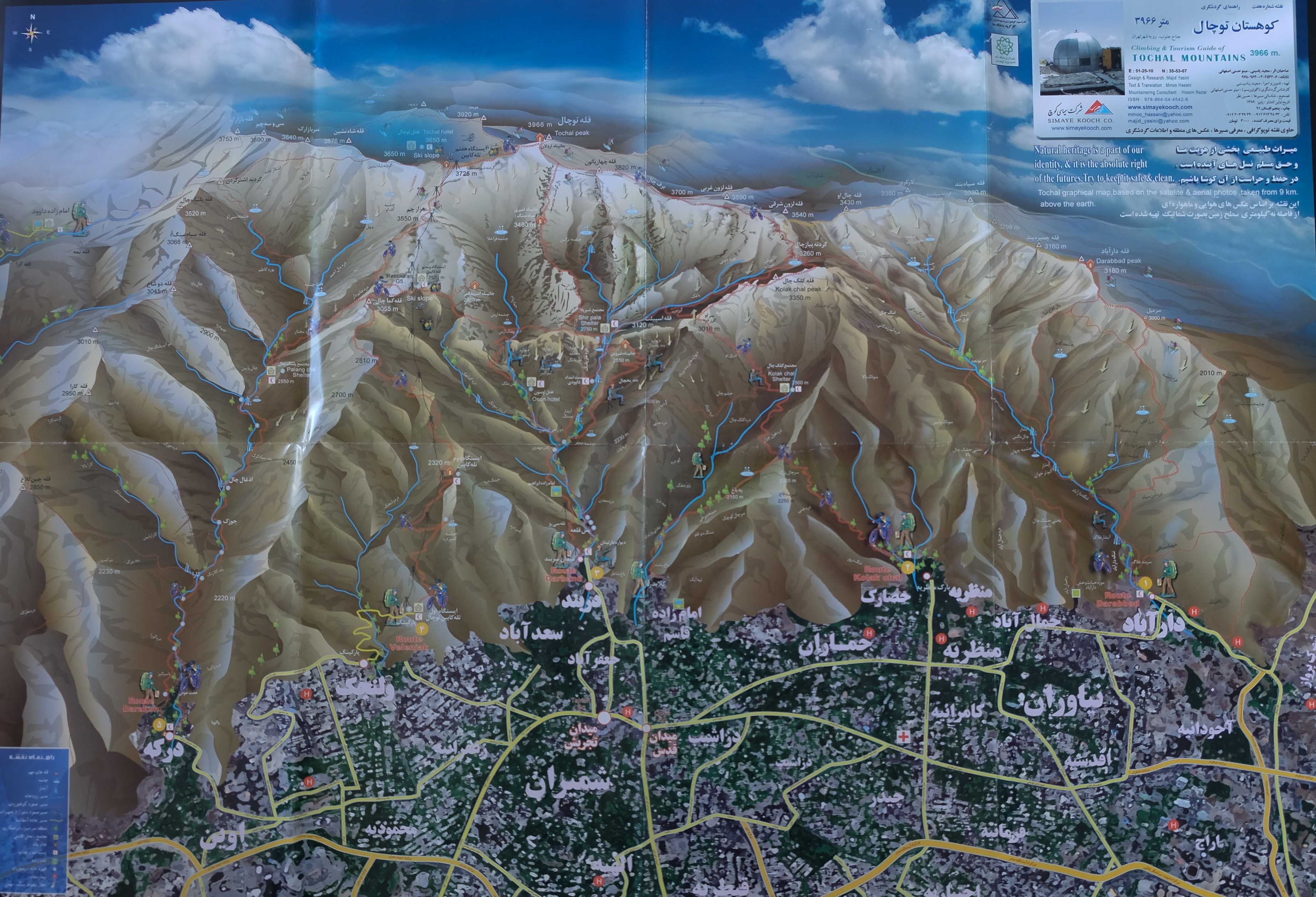
Mount Tochal, Teheran, Iran
Hiking
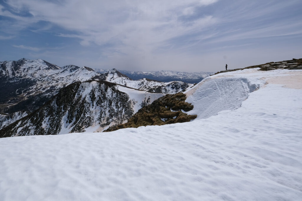
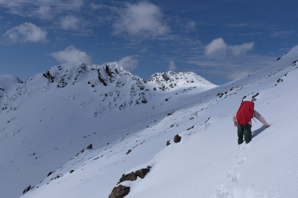
Climbing Tochal, 3970m, the rounded peak directly above Tehran, is a truly exceptional experience. Here, the mountain literally touches the city, and people go hiking in the same way that others go to the beach. The difference in altitude is considerable, and it doesn't take long to get an impressive aerial view of the Iranian capital. In spring, the snow is still very present, and even if the start is practically from the metro exit, this is a high-mountain trek, ideally done over 2 days, with a night's sleep in the Shir Pala refuge at 2750m before the final ascent the following day. Last but not least, it's a spontaneous place to meet Iranians, to discuss the situation in the country, and to exchange ideas more freely, especially with foreigners, who are more than welcome in Persia. An unmissable trip to Teheran, before tackling Damavand in summer.

Technical summary
Type ✦ Hiking
Location ✦ Mount Tochal
Region ✦ Teheran
Country ✦ Iran
Elevation gain ✦ 2200m
Difficulty ✦ D
Max altitude ✦ 3970m
Duration ✦ 8h to 9h (2 days)
Interest ✦ ★★★
Access to the place
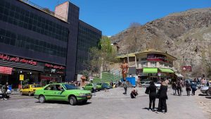
Go to the north of Teheran, to the end of metro line 1, Tajrish station. From there, walk to Tajrish Square, then up (on foot or by cab) Darband Street to the end. There's a small square with a large bronze statue of a mountain man. This is the starting point for the hike.
Itinerary description
Hiking to the start 10'
Take the stairs directly to the left of the square. You'll come to a road that twists and turns under the chairlifts. After 2 bends, go straight ahead and climb up through the houses to finally reach the chairlift arrival point.
Course 6h à 7h
Part 1: Shir Pala hut (3h)
Follow the wide path through a number of small restaurants before starting to climb towards the cliffs and the large waterfall, which you will soon see. A little further up, take the fork to Shir Pala and leave the path to Oyoun on your left (signposts). Continue on for a while, then after passing a small grocery shack, take the final, steep, equipped section to cross the wall and reach the refuge. No particular difficulty, except that the rock is well-polished and the climb steep and demanding. After around 3 hours from the start, you reach the large refuge, opened in the 70s, on a flat area beneath the snow-capped Tochal peaks. Here you can spend the night in small dormitories with minimal but adequate facilities, for 2 or 3 euros. There's also a small restaurant open in the evening, where you can ask for "Dizi", a traditional Iranian dish. You can also stock up for the next day (water, cookies, chocolate, tea...).
Part 2: Ascent of Mount Tochal (3h to 4h)
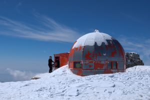
Head due west from the refuge on the path that joins the ridge (you can see the signs). Then just follow the wide ridge to the end. Although the path isn't always clearly visible, you'll soon find iron posts connected by ropes that point the way. With the passage, the route is obvious. After 1h30 / 2h we reach the Amiri hut at 3480m, a much more basic, simple storm shelter. Continue towards the summit, which is finally visible slightly to the left, with its characteristic red spherical shelter. In the final section, you can see the Damavand and, at the summit, the entire Alborz mountain range. Splendid view, Teheran still visible, exceptional panorama.
Back
It is possible to retrace the entire route in the opposite direction. Another great option is to take a twenty-minute descent westwards along the ridge to reach the top of the Tochal ski resort. From here, you can access the gondolas, which take you up to Tehran's urban ground in 2 trips (make sure they're running if you're not on vacation or at the weekend).







Leave a Reply