


TOPO Hiking | CLIMBING7.COM
Publié le
 Partager sur WhatsApp
 Partager sur Twitter
Partager sur Instagram
Partager sur Twitter
Partager sur Instagram

 Partager sur Facebook
 Imprimer le topo
 Laisser un commentaire

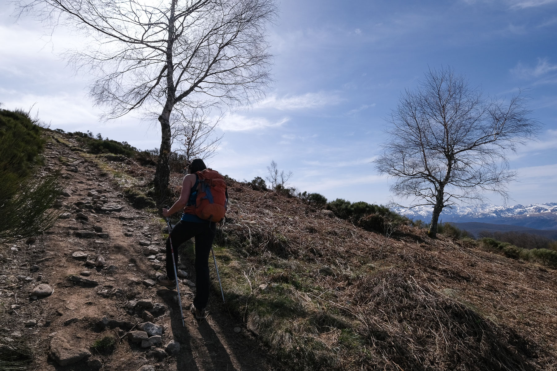
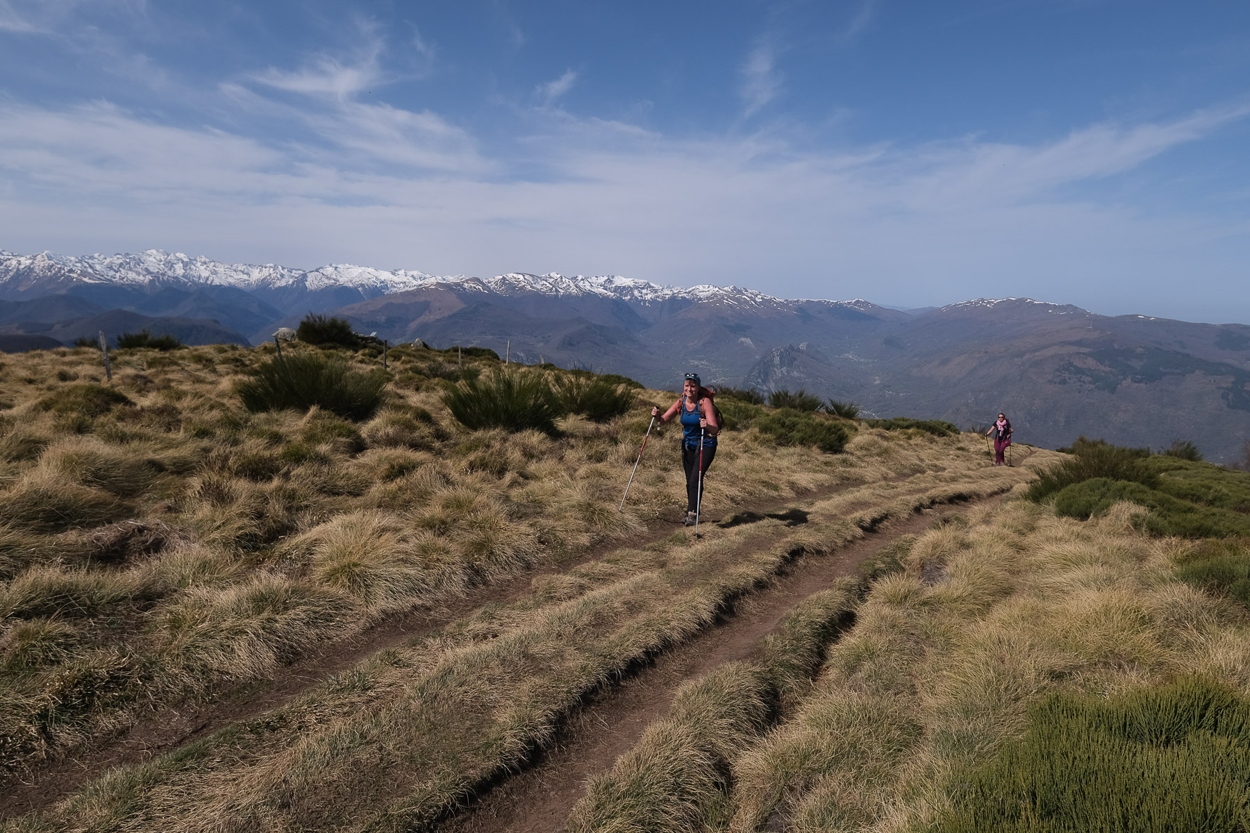
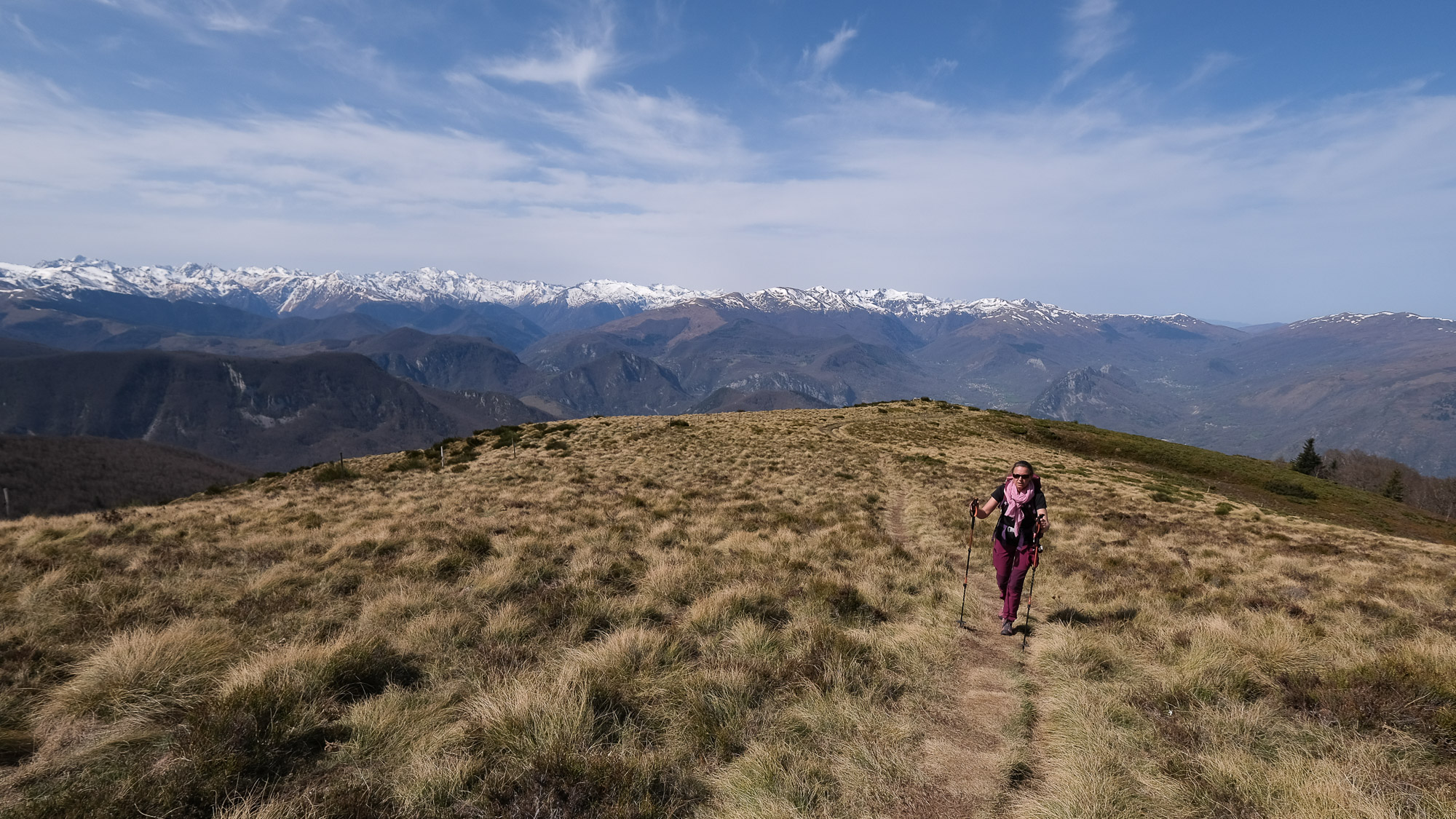
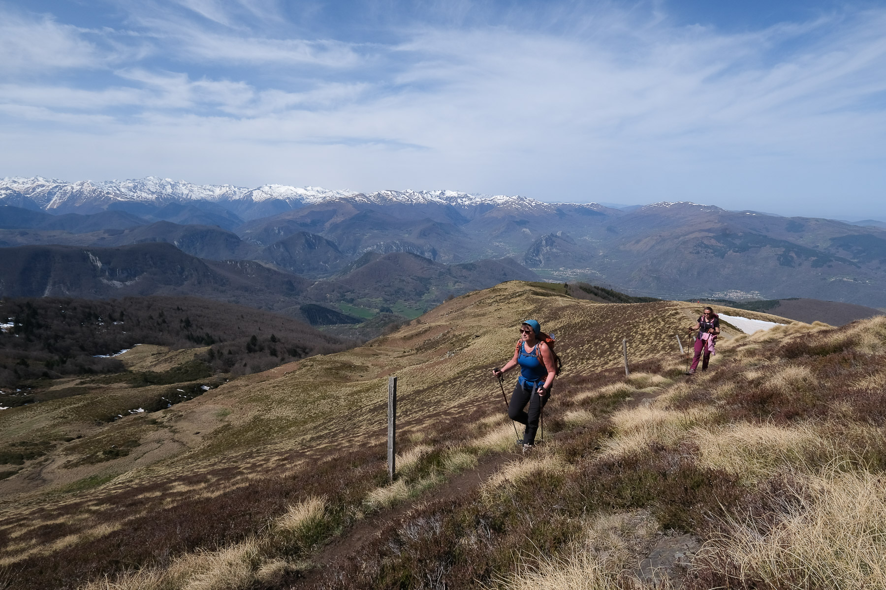
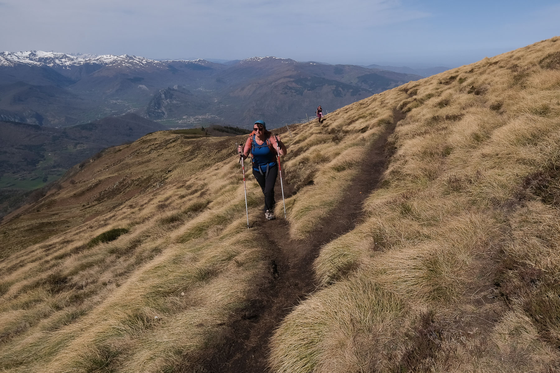
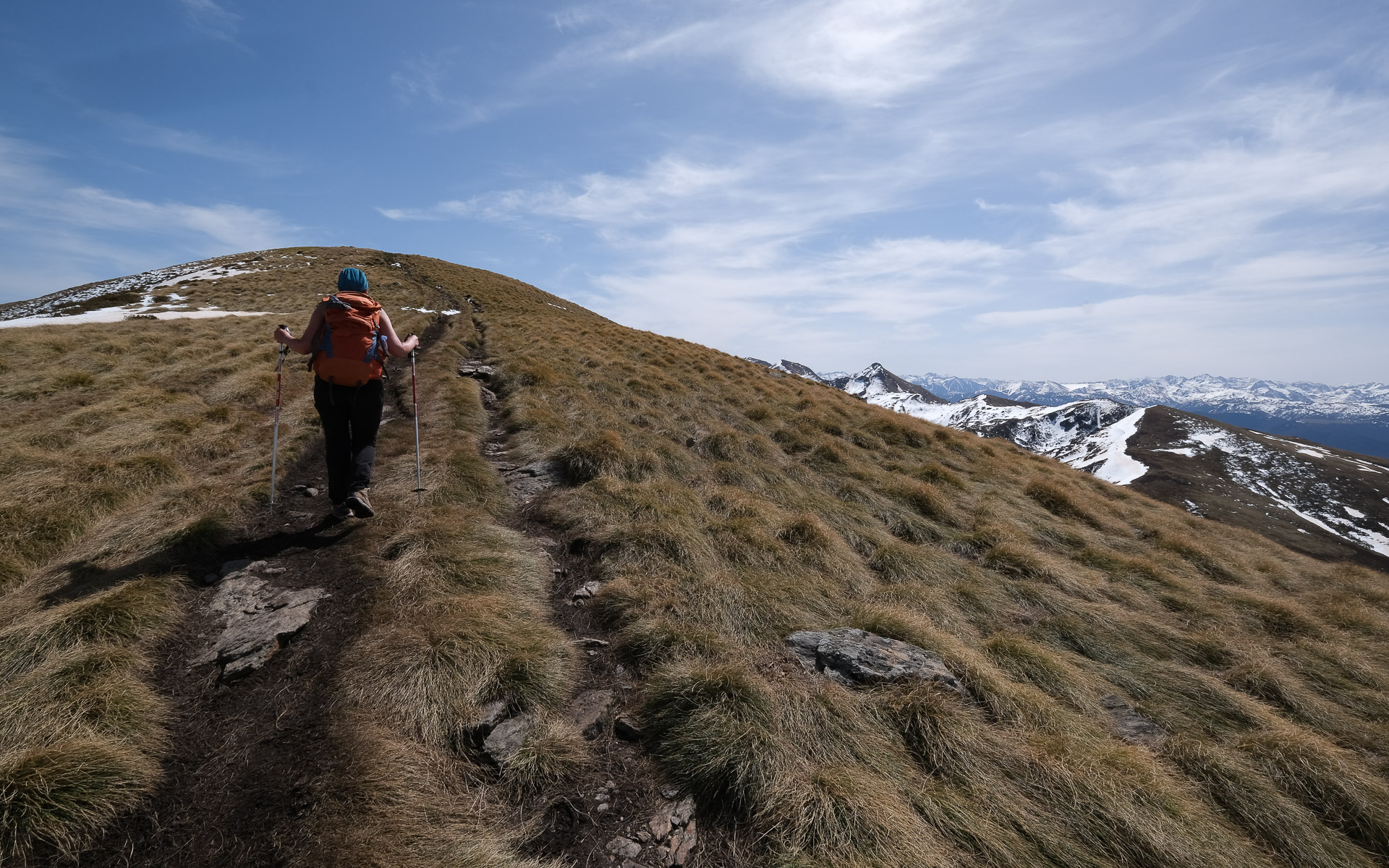
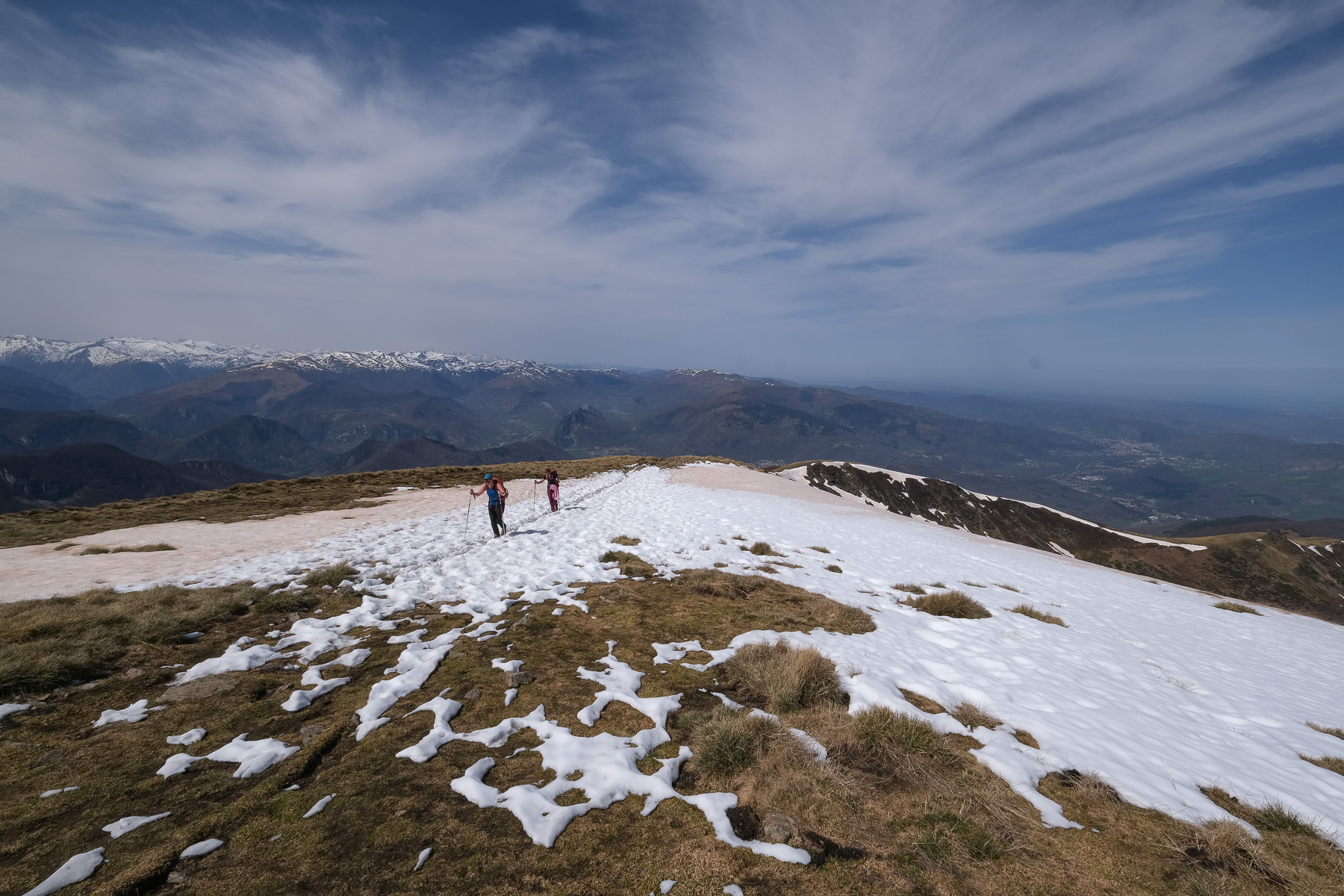
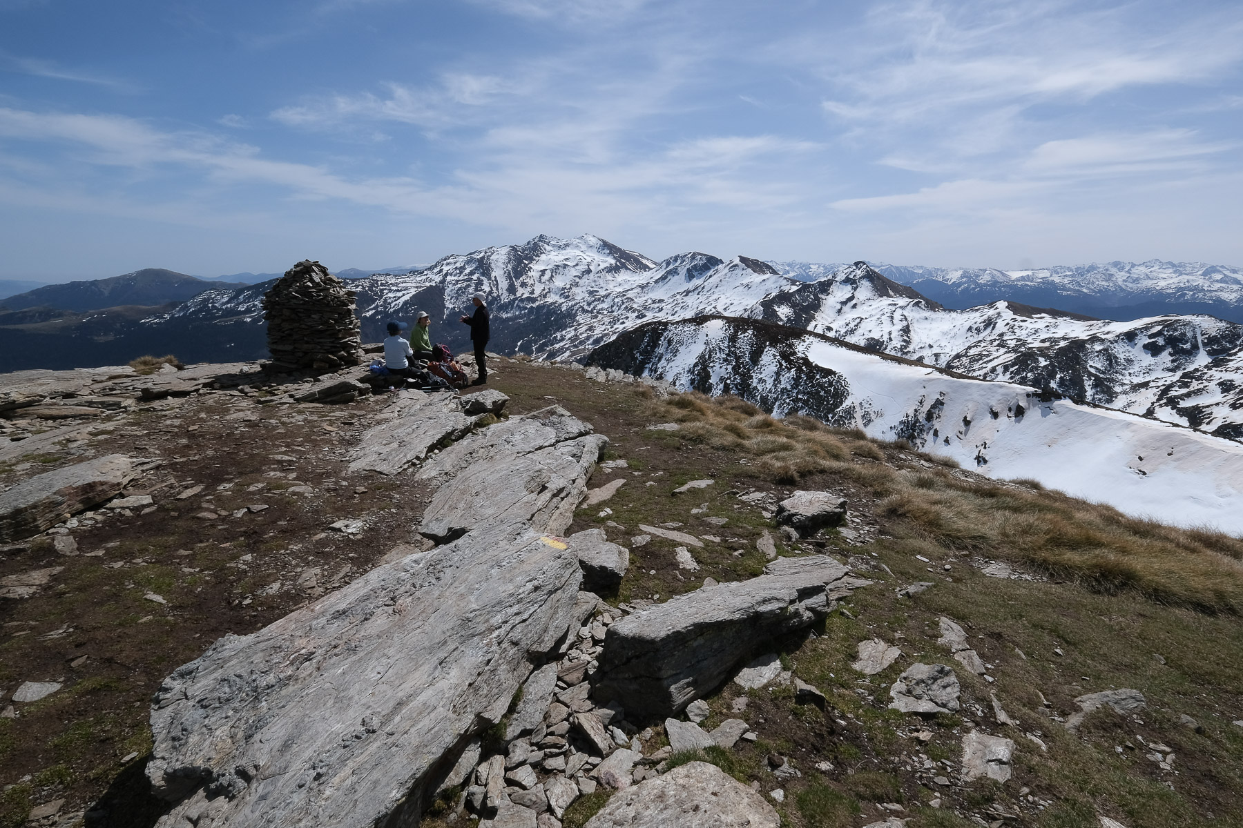
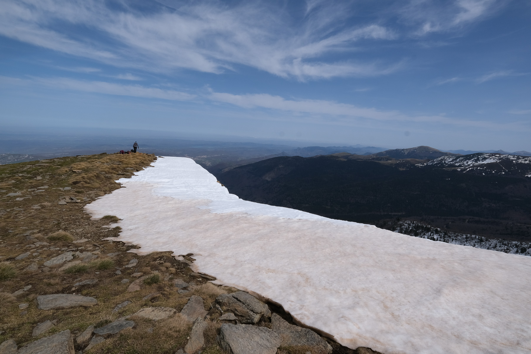
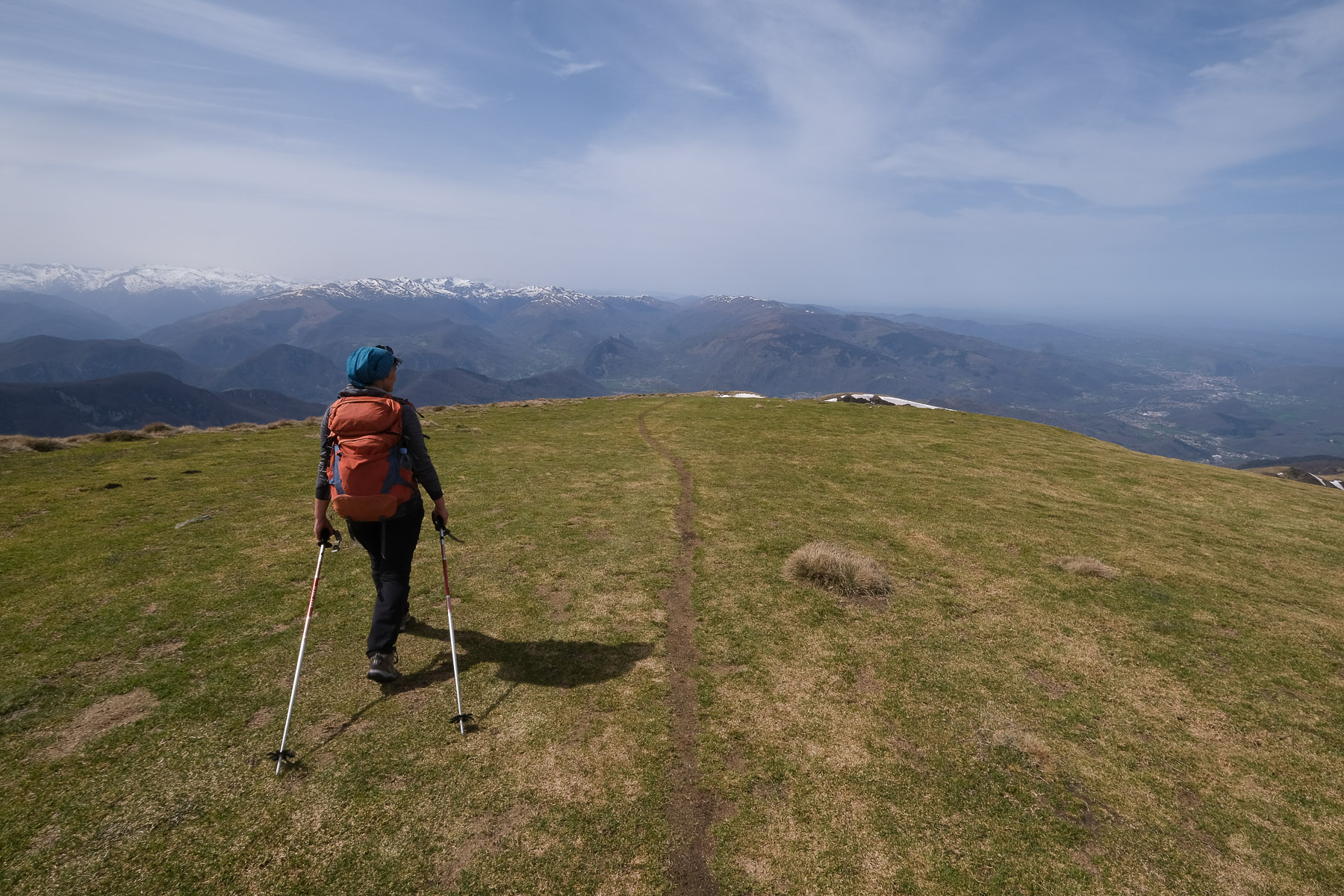
The ascent of Mont Fourcat is a classic that can be hiked, snowshoed or skied. Once out of the Serbel valley forest, the route climbs from west to east along a long gispet-covered ridge to reach the Pic de Lauzate (1800m), then higher still and further east, Mont Fourcat (2002m). This is the start of the Montagne de Tabe, which extends eastwards to include Pic du Han, Pic Galinat, Pic de Saint Barthélémy and Pic de Soularac. The panoramic view to the south is spectacular, with a perfect view of the Ariège valley between Foix and Tarascon-sur-Ariège. A beautiful loop, albeit a busy one.
❱❱ Technical summary
Type ✦ Hiking
Location ✦ Croquié, Massif de Tabe
Region ✦ Ariège
Country ✦ France
Orientation ✦ West
Max altitude ✦ 2002m
Distance ✦ 12.5 km
Dénivelé ✦ 1070 m
Difficulty ✦ MD
Duration ✦ 4h30 to 6h
Interest ✦ ★★
❱❱ Access to the place
On the N20 between Foix and Tarascon-sur-Ariège, exit at Mercus. In Mercus, follow signs for Croquié. After 15' of winding ascent, you reach the village of Croquié at 944m altitude. Park in a small square on the right at the entrance to the village.
❱❱ Map & topo
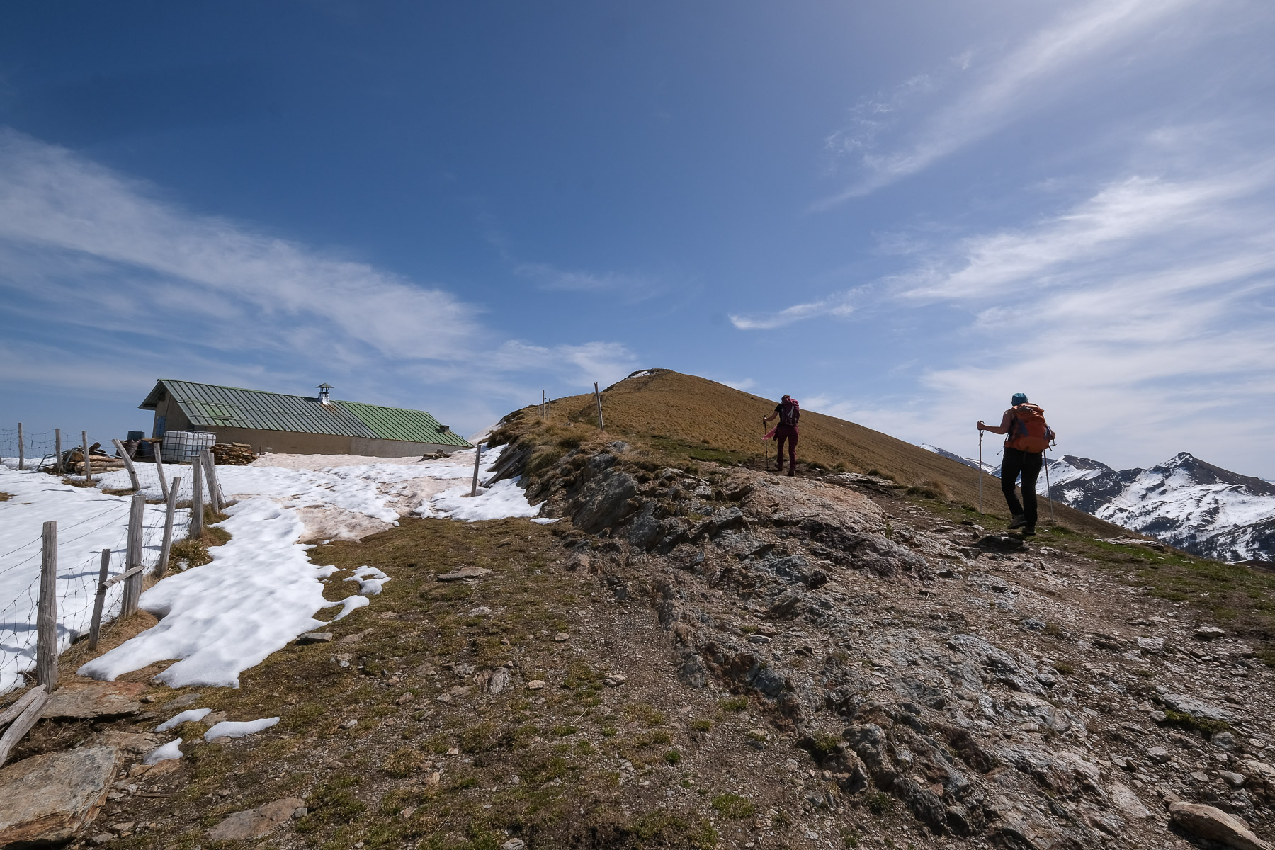
The route between the Carmilles refuge and the Col d'Ijou is indicative.
❱❱ Itinéraire
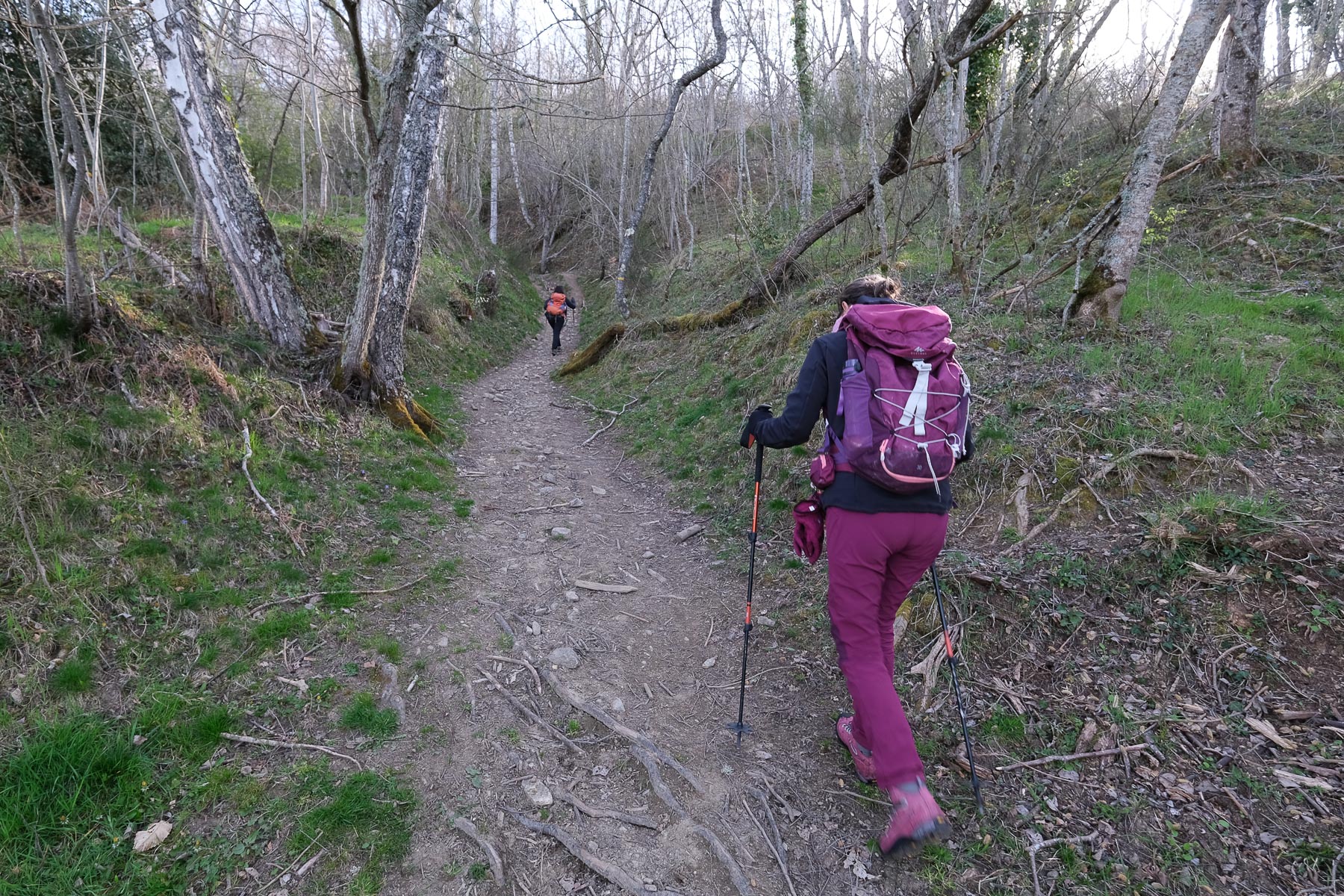
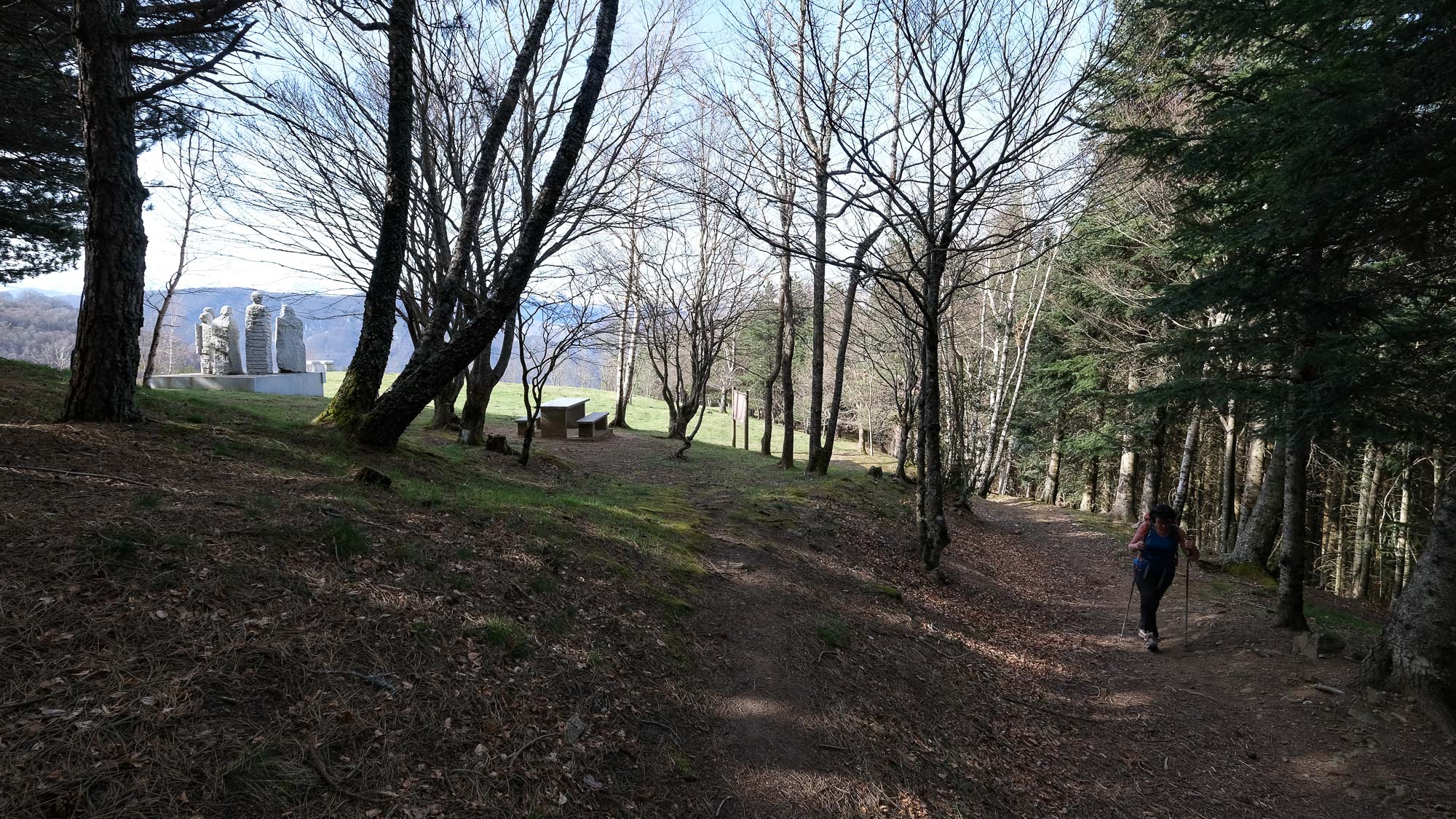
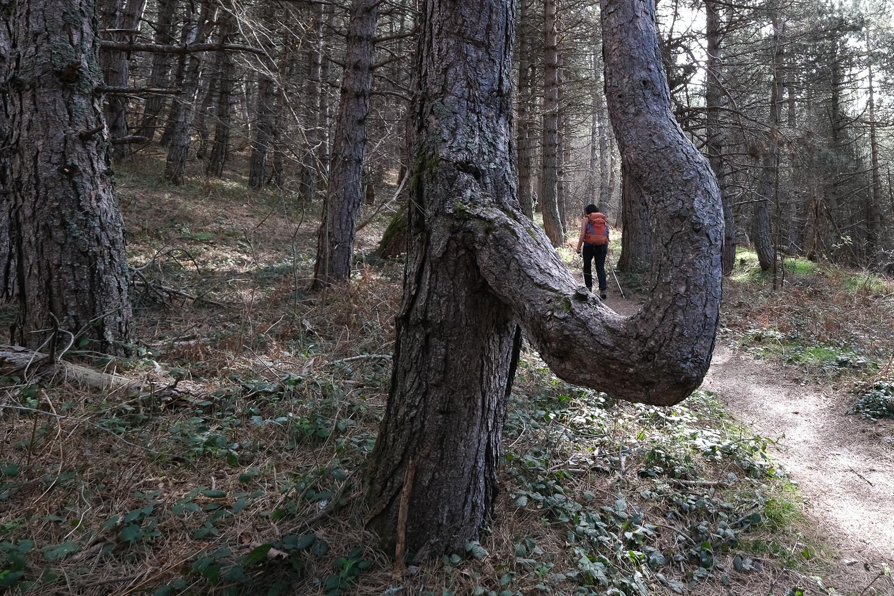
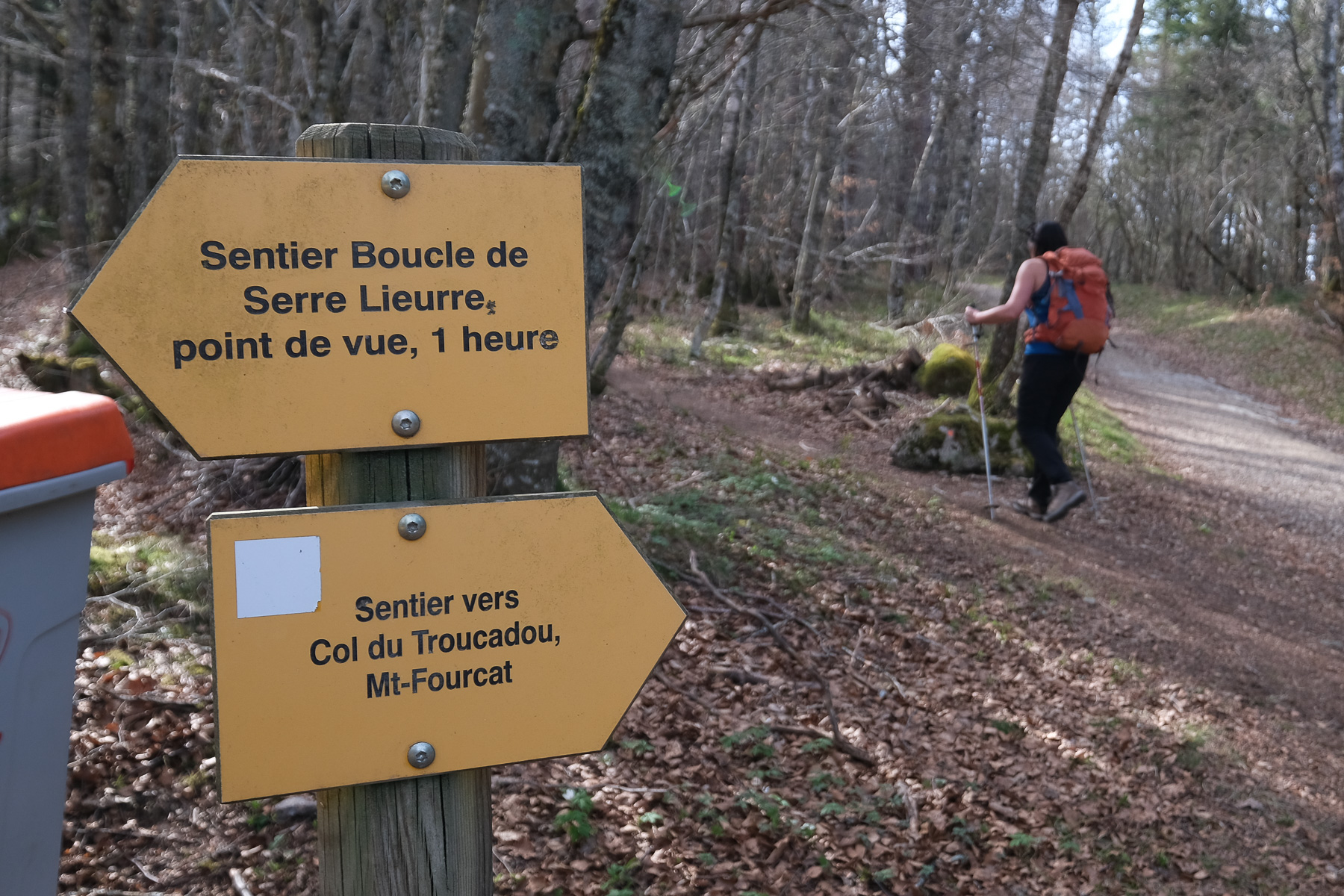
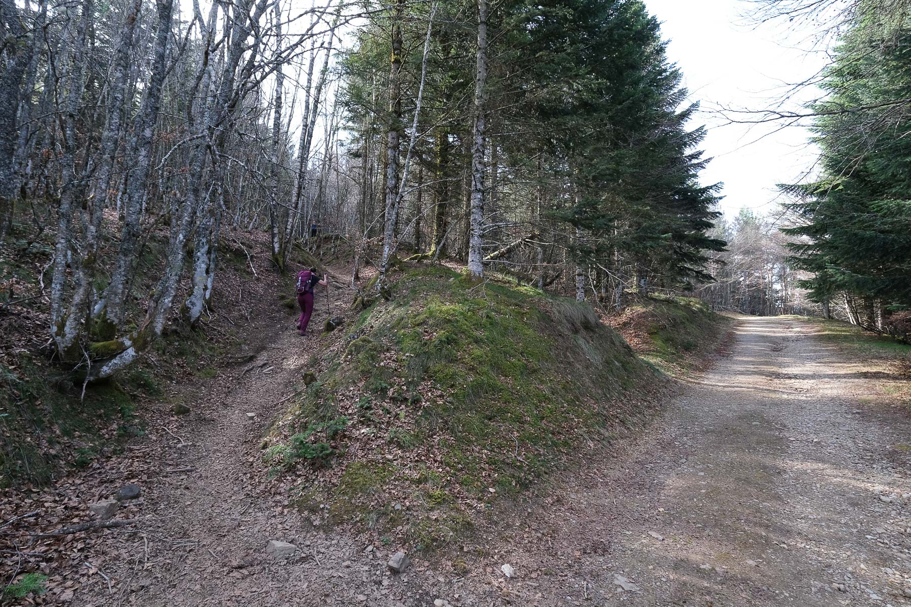
From the village of Croquié, take the yellow-marked path up to Col de Traucadou and Mont Fourcat. The path is steep at the start, then twists and turns through the forest, crossing a forest track further up. After about 30', the path comes to a clearing where there is a rather original war memorial. You can also see the western ridge leading to Mont Fourcat above the forest. Just after the monument, the path crosses the Brougues parking lot at 1200m altitude, another possible departure point if you plan to climb Mont Fourcat on a round trip.
The outward route is on a well-marked path to the summit. On the way back, the loop via the Carmilles refuge is off the marked path and can be complicated in summer by the presence of ferns, brambles and broom. The ridge is very exposed to the wind and can be snow-covered late in the season, which was not the case this year.
From the Col d'Ijou, follow the track back to the village, crossing the Serbel stream.
Topo of the same snowshoe hike from Croquié on rando-marche.fr


Leave a Reply