


TOPO Hiking | CLIMBING7.COM
Publié le
 Partager sur WhatsApp
 Partager sur Twitter
Partager sur Instagram
Partager sur Twitter
Partager sur Instagram

 Partager sur Facebook
 Imprimer le topo
 Laisser un commentaire
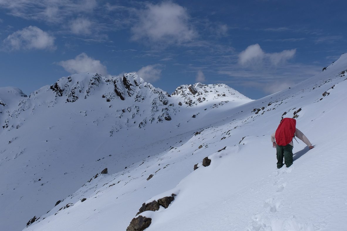
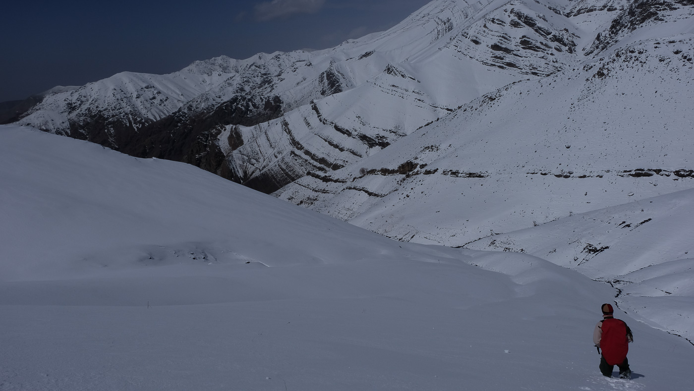
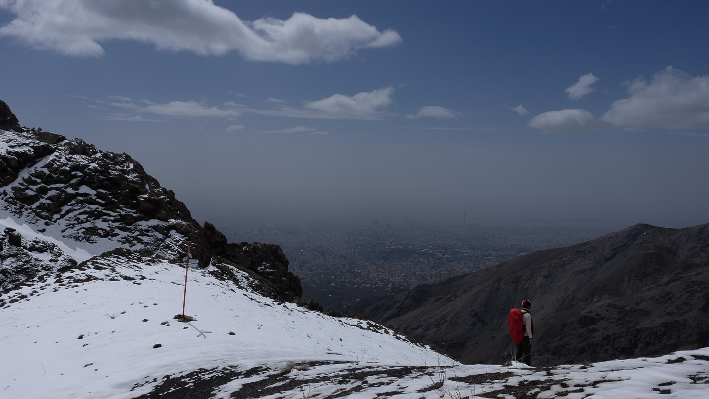
Kolak Chal trek is a beautiful excursion in the Tochal foothills, just above Teheran. After reaching the Kolak Chal hut (2560m), the traverse heads east over a pass at 3010m, just below Kolak Chal (3350m), before descending to the Shir Pala hut (2750m), the starting point for the Tochal ascent. A good introduction before embarking on the Tochal (3970m), this high-mountain hike is accessible even if, in winter, snow can make progress difficult and the route less obvious. The aerial views over Teheran are impressive and the scenery magnificent from one end of the hike to the other.
❱❱ Technical summary
Type ✦ Hiking
Location ✦ Mount Tochal
Region ✦ Tehran
Country ✦ Iran
Difficulty ✦ MD
Max altitude ✦ 3010m
Interest ✦ ★
❱❱ Access to the place
North of Teheran, from Tajrish Metro Station (Red Line terminus), take a cab to Golab Dareh. Follow the road to the end of the tarmac, where the trail begins. This is option B for access to the Kolak Chal hut, the main option starting further west (see topo map).
❱❱ Map & topo

❱❱ Itinéraire
It's an "almost loop" in 3 parts.
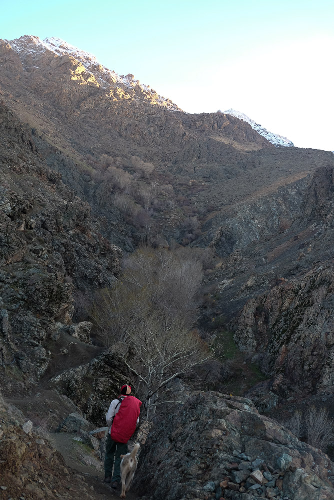
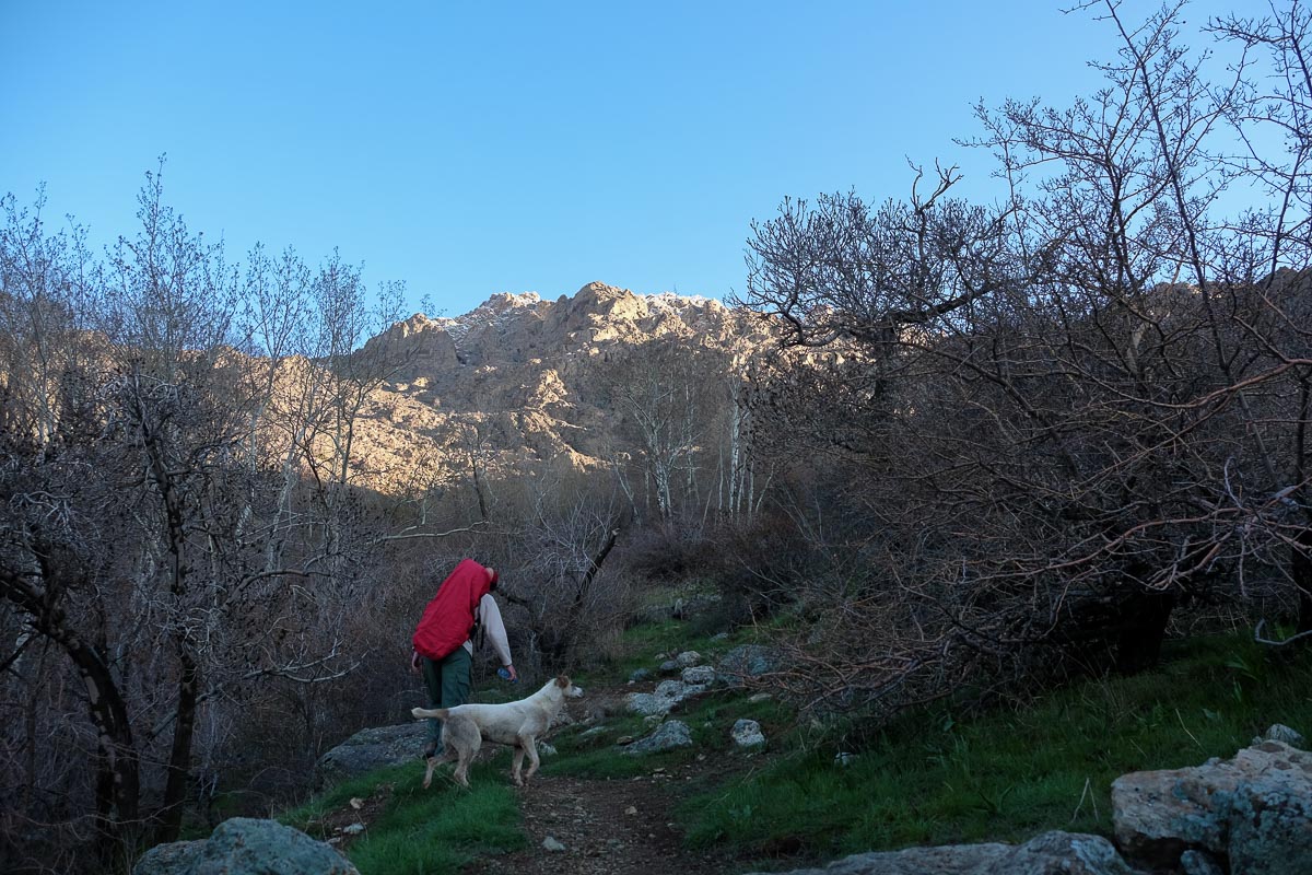
Follow the path up the valley, crossing the stream several times. You finally leave the wooded area and reach the rock. Cross to the east, more or less on the flank, then climb to reach the large refuge in sight.
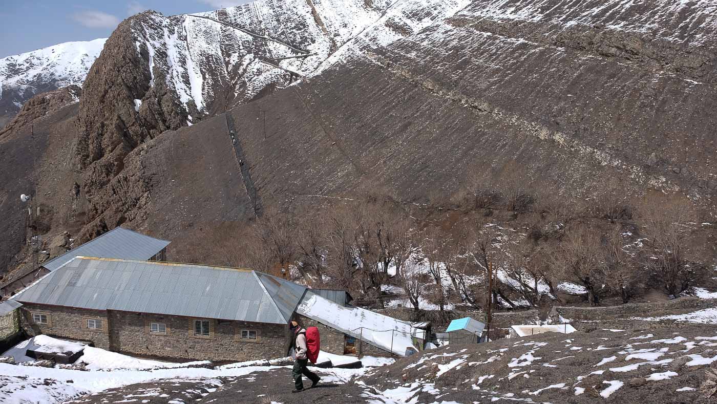
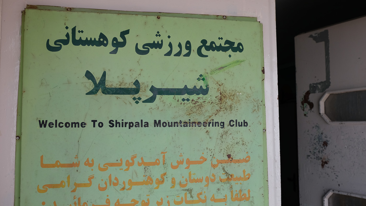
We have to change valley by crossing a sort of shoulder or pass at 3010m below the peak of Kolak Chal. This is an easy route, but not so easy in our case, with lots of snow. Climb above the hut to find the well-marked path that climbs westwards towards the ridge. Once you've passed the small pass, just head back down to the east to join the watercourse, and then up and to the right of a beautiful waterfall to discover the Shir Pala hut just behind.
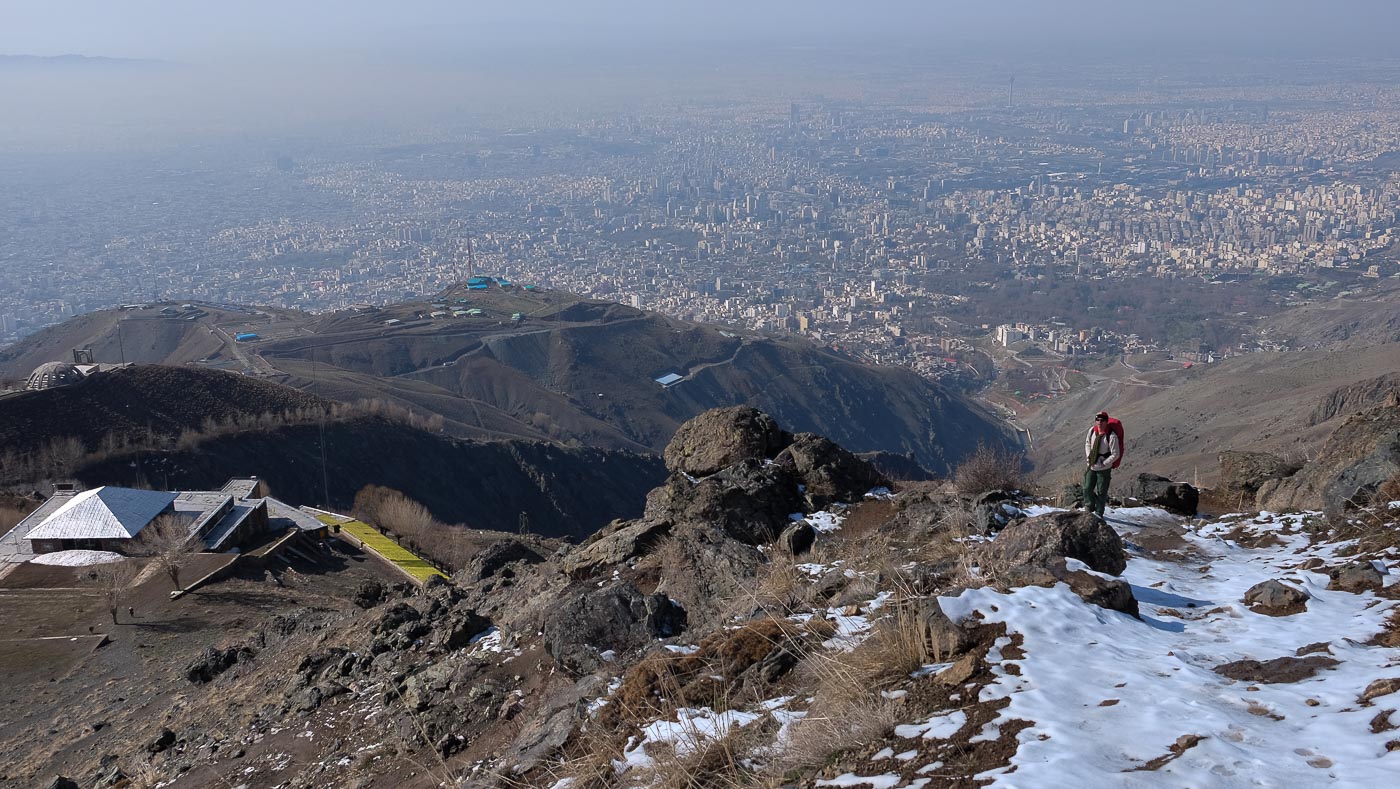
Take the main path below the hut, which quickly leads to the rocky section equipped with ropes, steel stakes and a few iron steps. The passage is steep and fairly long, and the rock polished by repeated passages makes the descent not so easy. Below, more little huts and then a less steep path, gradually leading to the valley floor, the string of restaurants before the Sabrant cab rank at the end of Darband Street.
If you're taking a cab, it's perfect. If you've left a car at Golab Dareh, you'll need to take a cab to Tajrish Square and then back up to the departure parking lot.


Leave a Reply