


TOPO Via ferrata | CLIMBING7.COM
Publié le
 Partager sur WhatsApp
 Partager sur Twitter
Partager sur Instagram
Partager sur Twitter
Partager sur Instagram

 Partager sur Facebook
 Imprimer le topo
 Laisser un commentaire

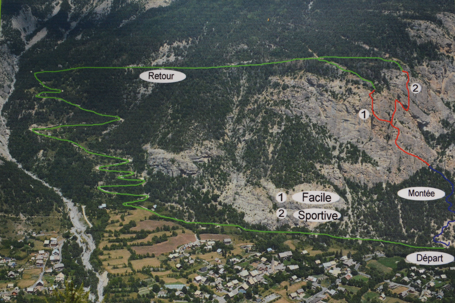
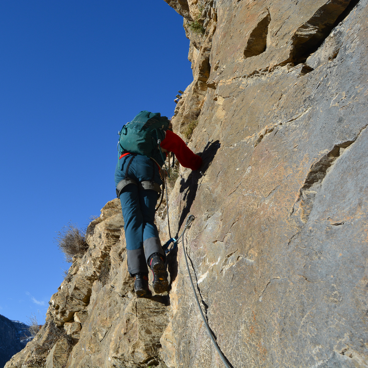
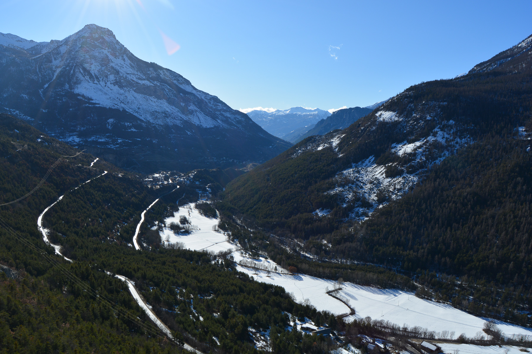
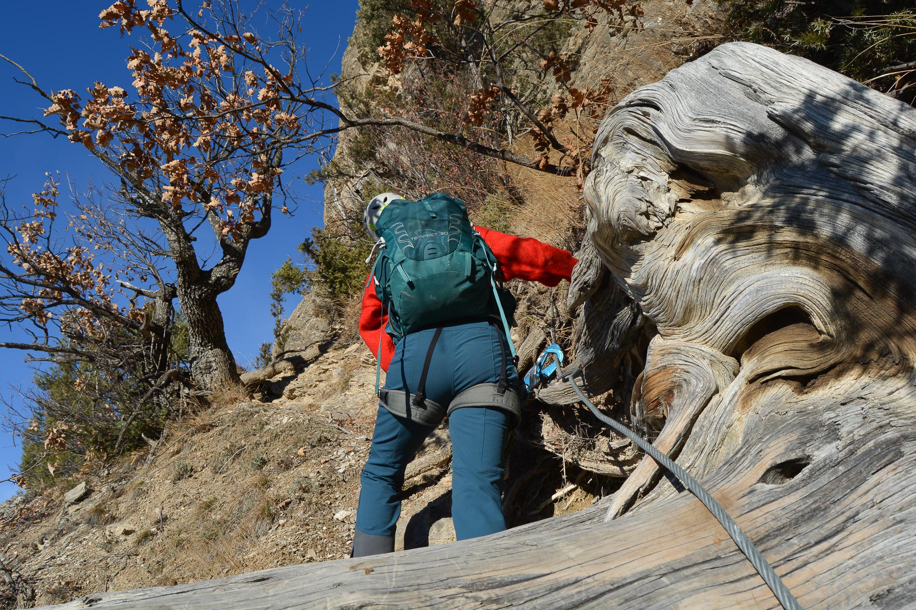
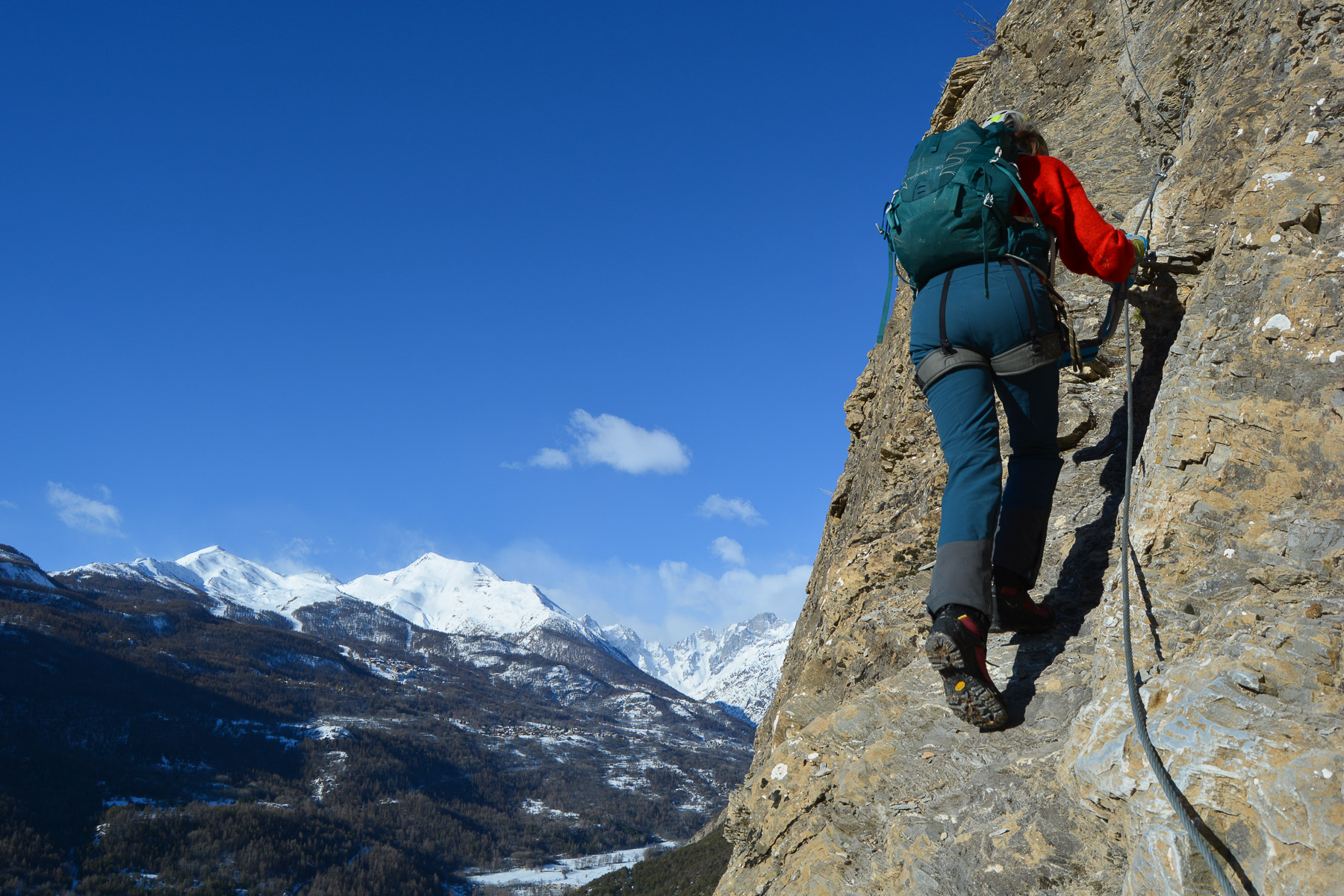
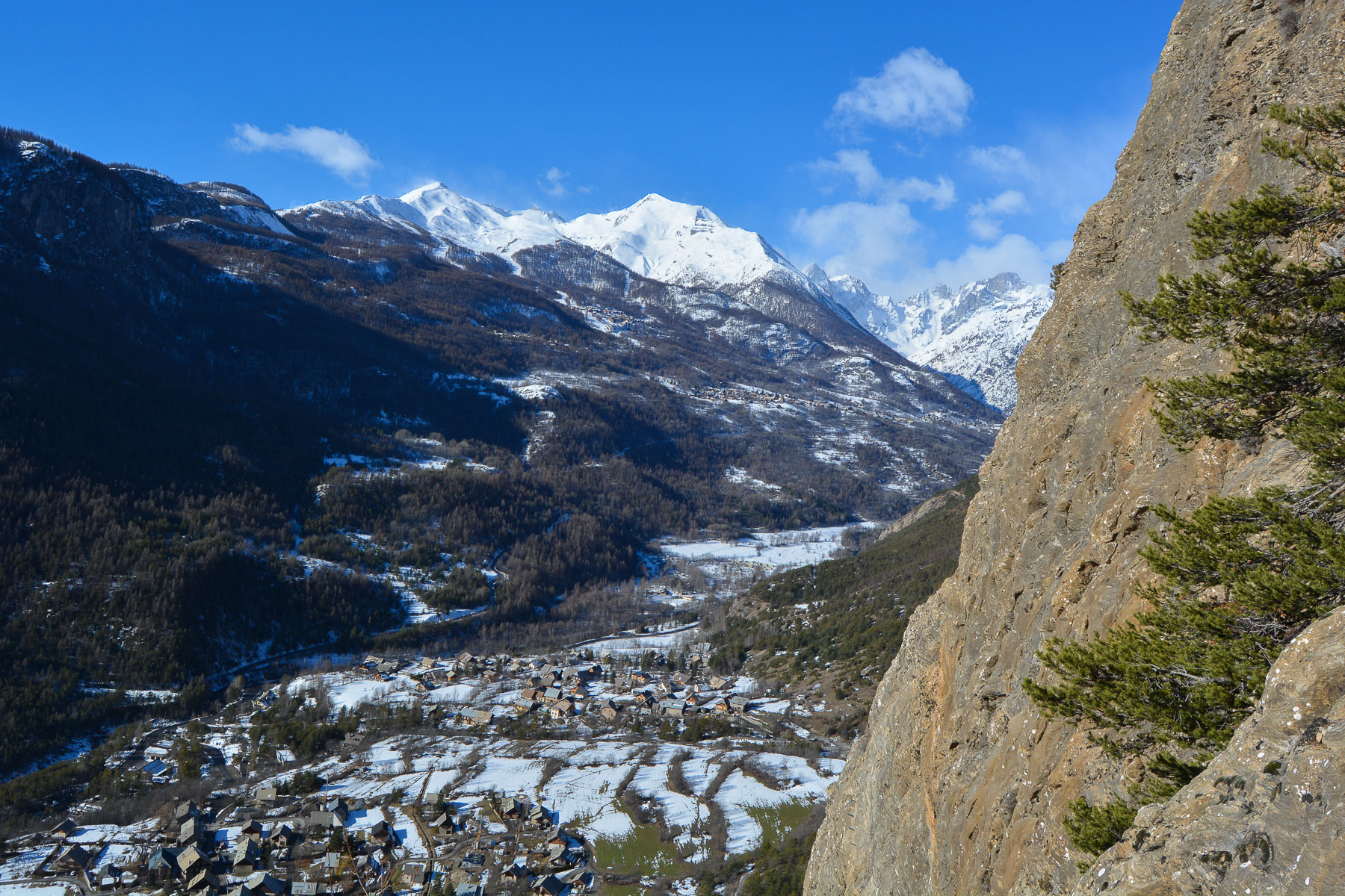
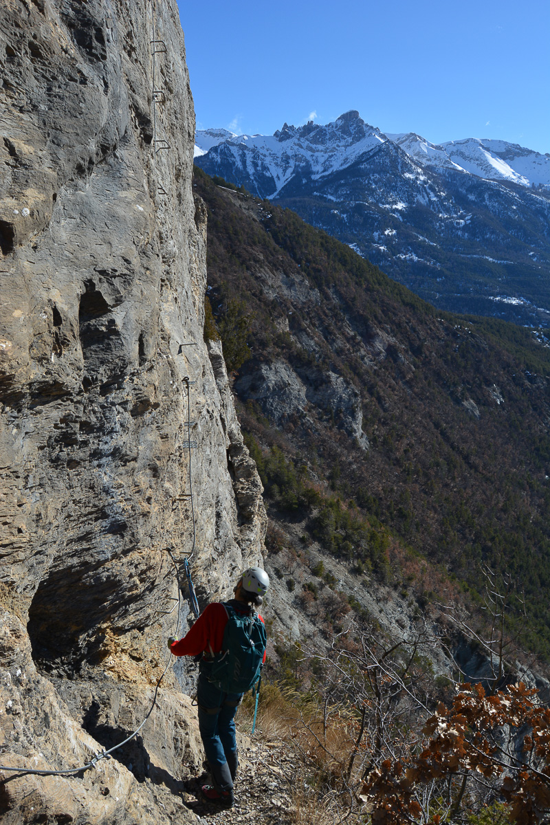
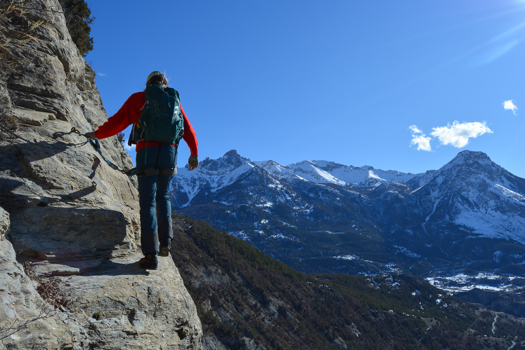
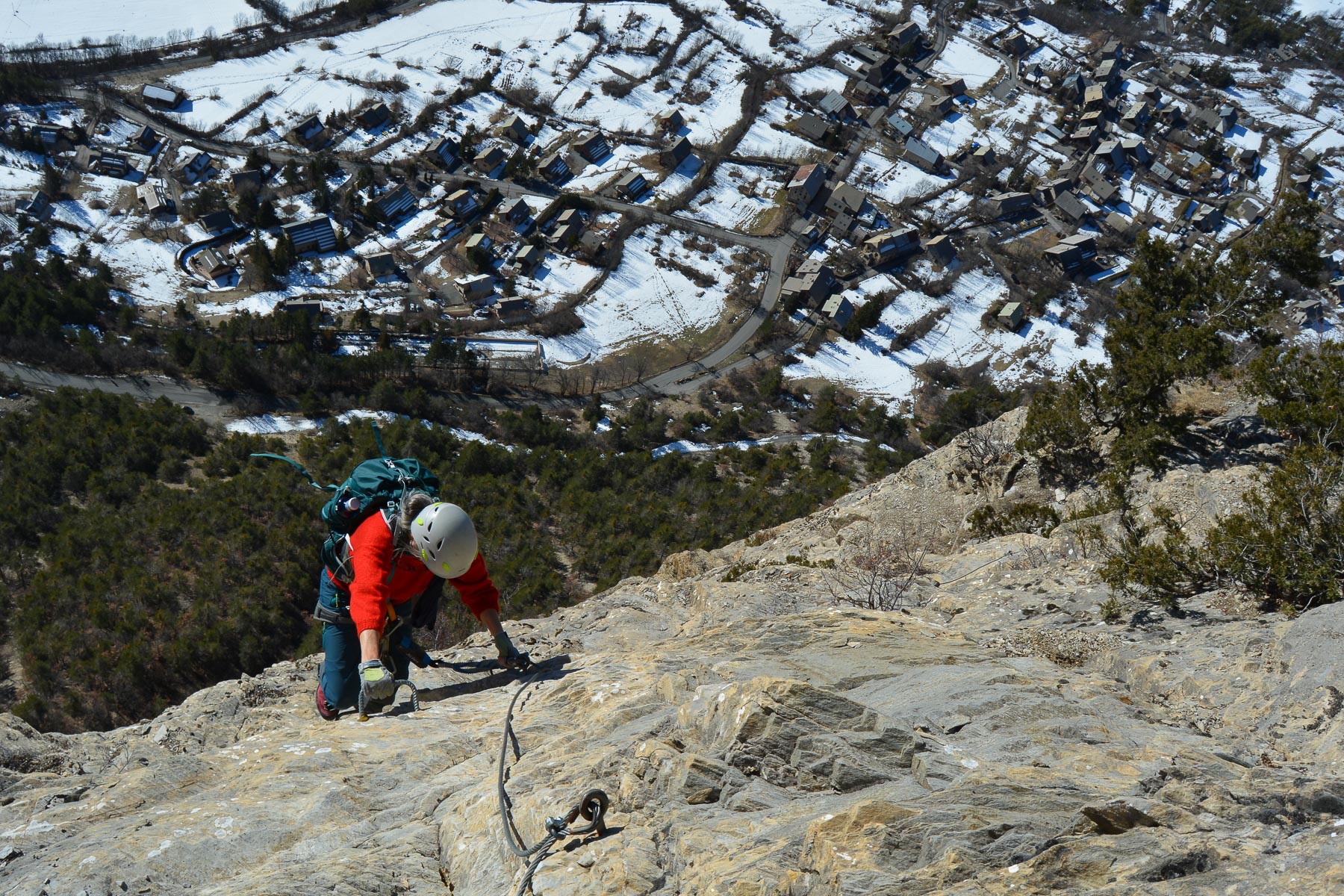
South of the Écrins, just below Briançon, La Balme is the via ferrata of the village of Vigneaux. In a very mountain setting, beneath the southern faces of the Tête d'Aval, adjacent to the Pic de Montbrison, the route climbs the sculpted walls overlooking Vigneaux. A very accessible route on the 1st part, the Colombier, progress becomes steeper and more complicated on the sporty option of the Balme. The gassy atmosphere, the need to use rock in many places and the panoramic views of the surrounding peaks make this a spectacular and very interesting route. A little extra with today's conditions: full southern sun and a snowy backdrop, winter when will you be back?
❱❱ Technical summary
■ Departure point: Les Vigneaux, Écrins massif, Hautes-Alpes (05)
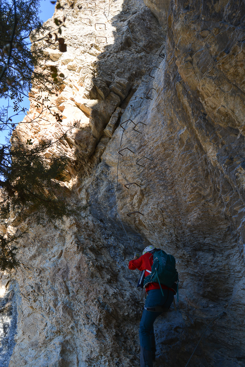
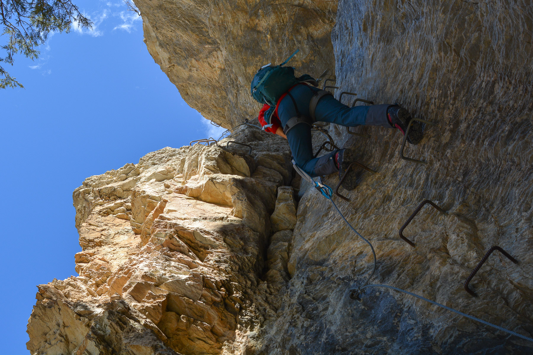
■ Type of route: via ferrata in two sections
■ Direction: south
■ Length: 500 m
■ Vertical rise: +200 m
■ Estimated total time: 3h to 3h30
■ Min and max altitude: m / 1500 m
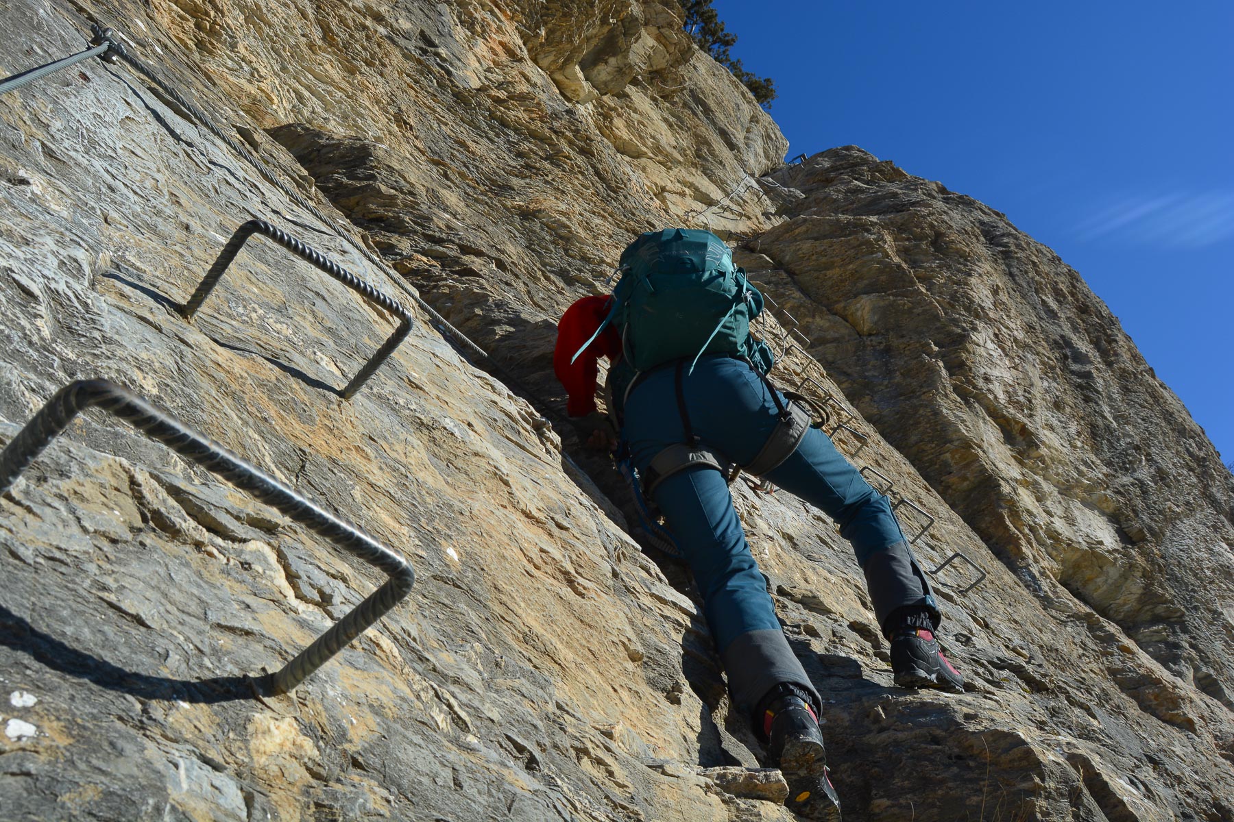
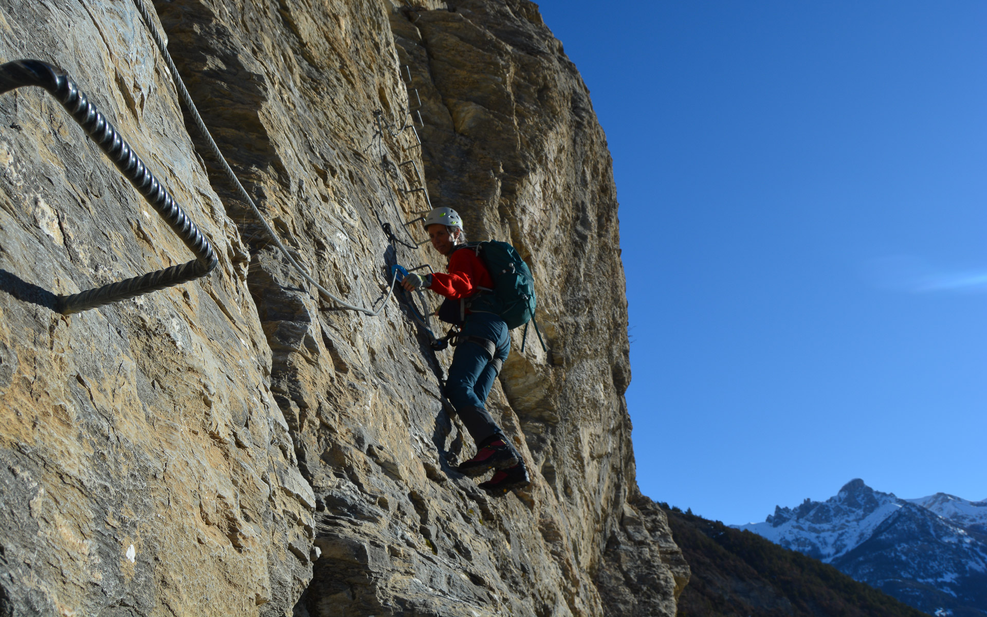
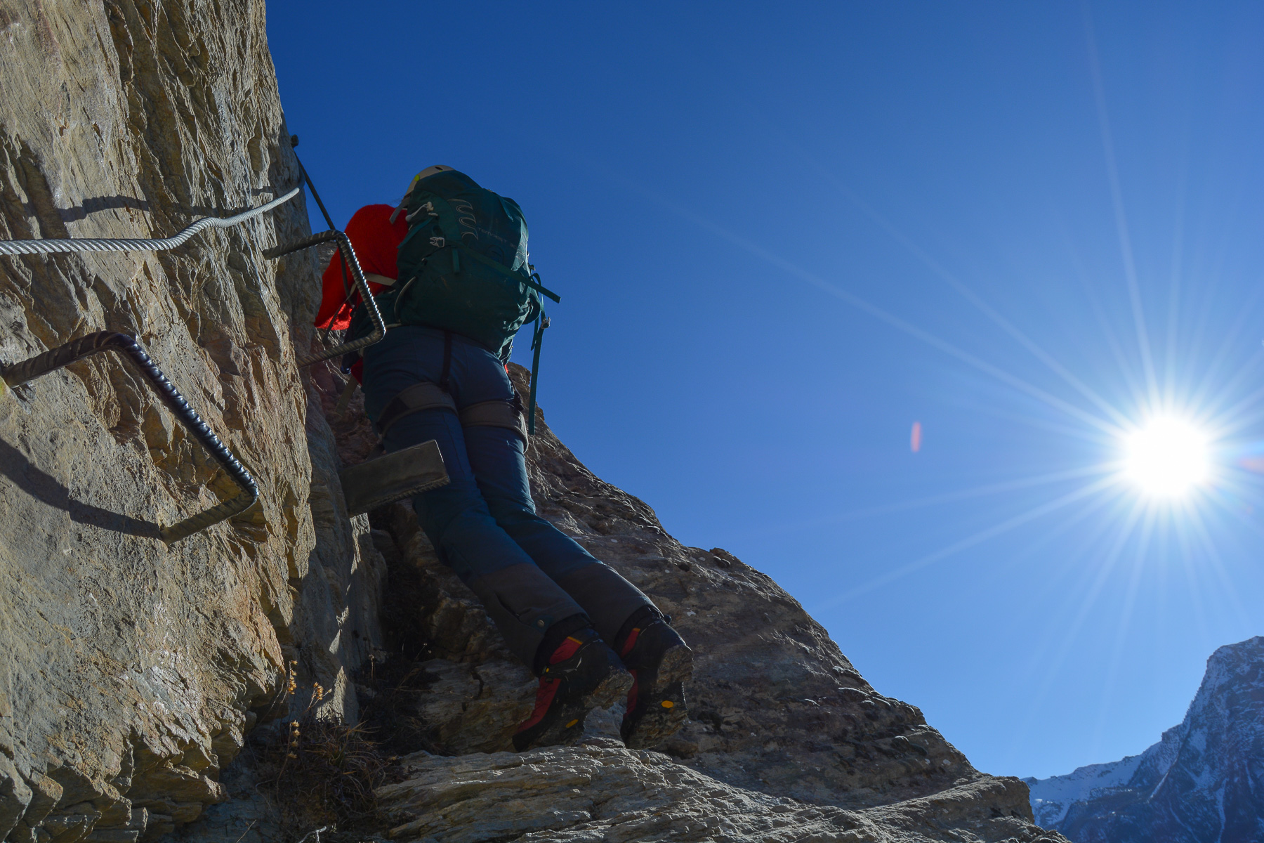
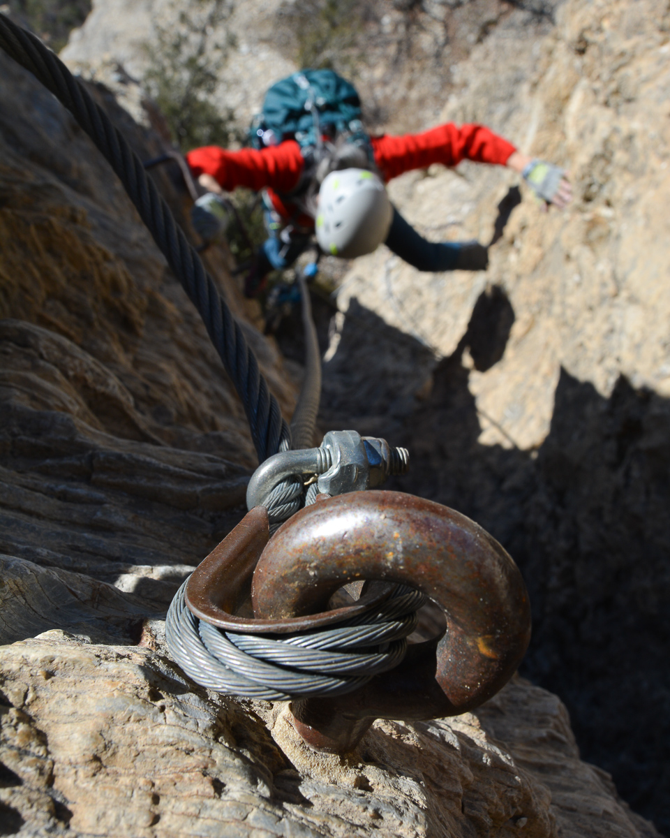
■ Equipment in place: excellent, small nails, steps and rungs
■ Equipment required: standard equipment
Difficulties: le Colombier AD or K3, la Balme D or K4+, remote equipment, you have to use the rock. Slightly slippery footing, foot and hand holds not always straightforward (flats or rulers).
❱❱ Access to the place
At l'Argentière-la-Bessée or on the road from Briançon to l'Argentière, turn off to reach Les Vigneaux. The parking area for the ferrata approach is indicated. It's just before Les Vigneaux if you're coming from Prelles on the D4, or after the village if you're coming from Argentière. Park on the part of the road that turns into a track. There's a signpost with information about the ferrata. The approach starts right here, to the right of the sign, on a narrow path.
❱❱ Map & topo
❱❱ Itinéraire
Follow the forest path up the steep, winding ascent to the foot of the ferrata. 30′ sustained, guaranteed warm-up!
Exit uphill to the north, where a narrow path joins a wide track on a hairpin bend. From here, either go left to cross the ridges to the west and find the track that winds down to Vigneaux (30′). Or go straight up and join the GR 50 and make a larger loop that passes almost under the southern walls of the Tête d'Aval before also descending by the track to Vigneaux (which we did, 45′).


Leave a Reply