


TOPO Hiking | CLIMBING7.COM
Publié le
 Partager sur WhatsApp
 Partager sur Twitter
Partager sur Instagram
Partager sur Twitter
Partager sur Instagram

 Partager sur Facebook
 Imprimer le topo
 Laisser un commentaire
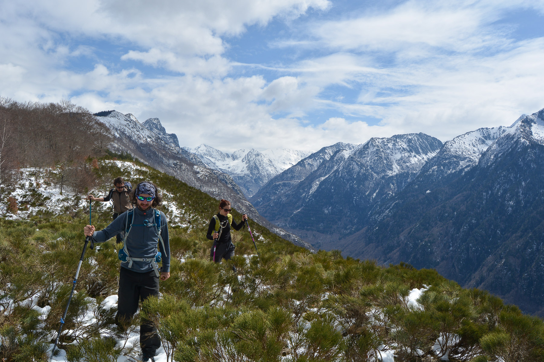
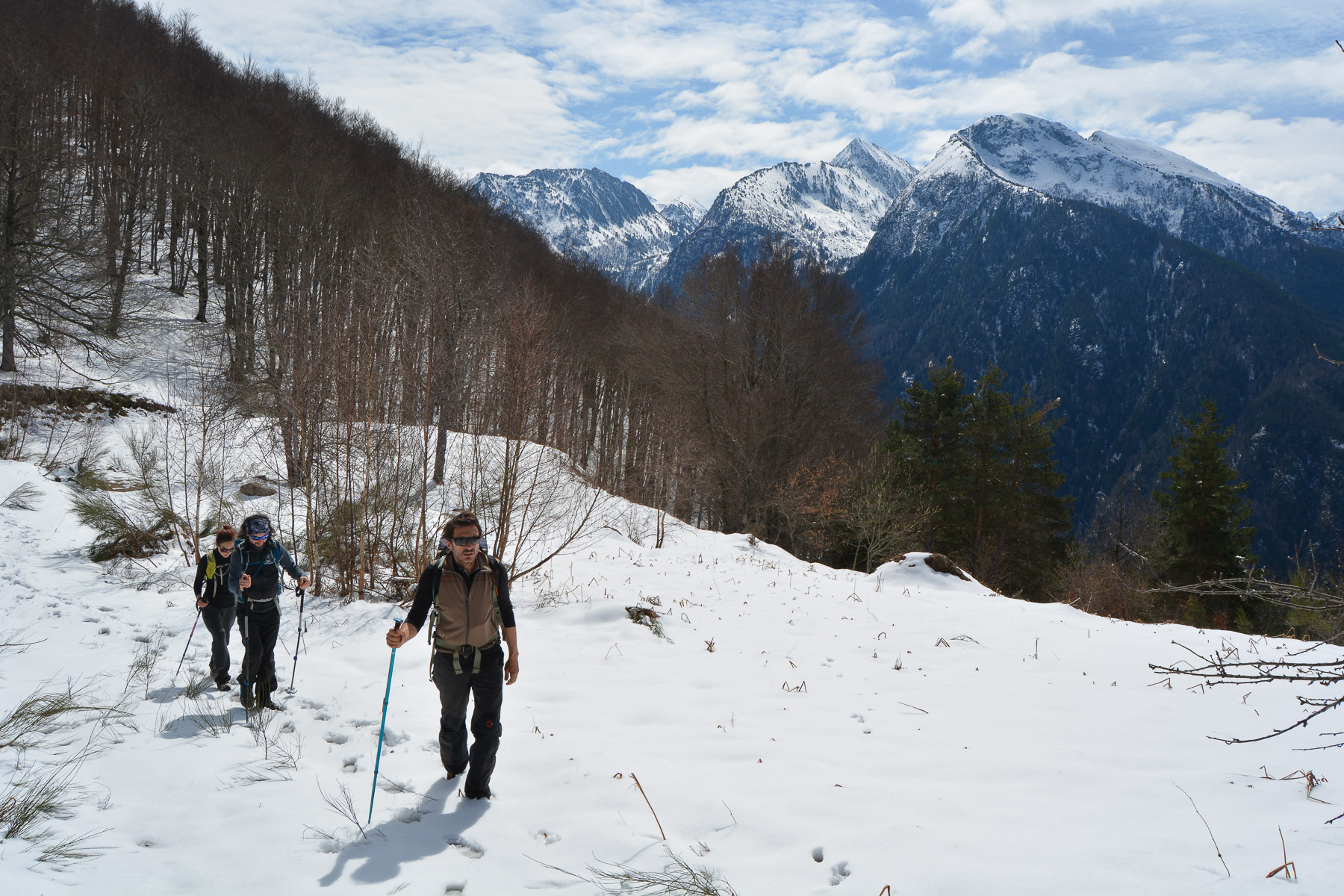
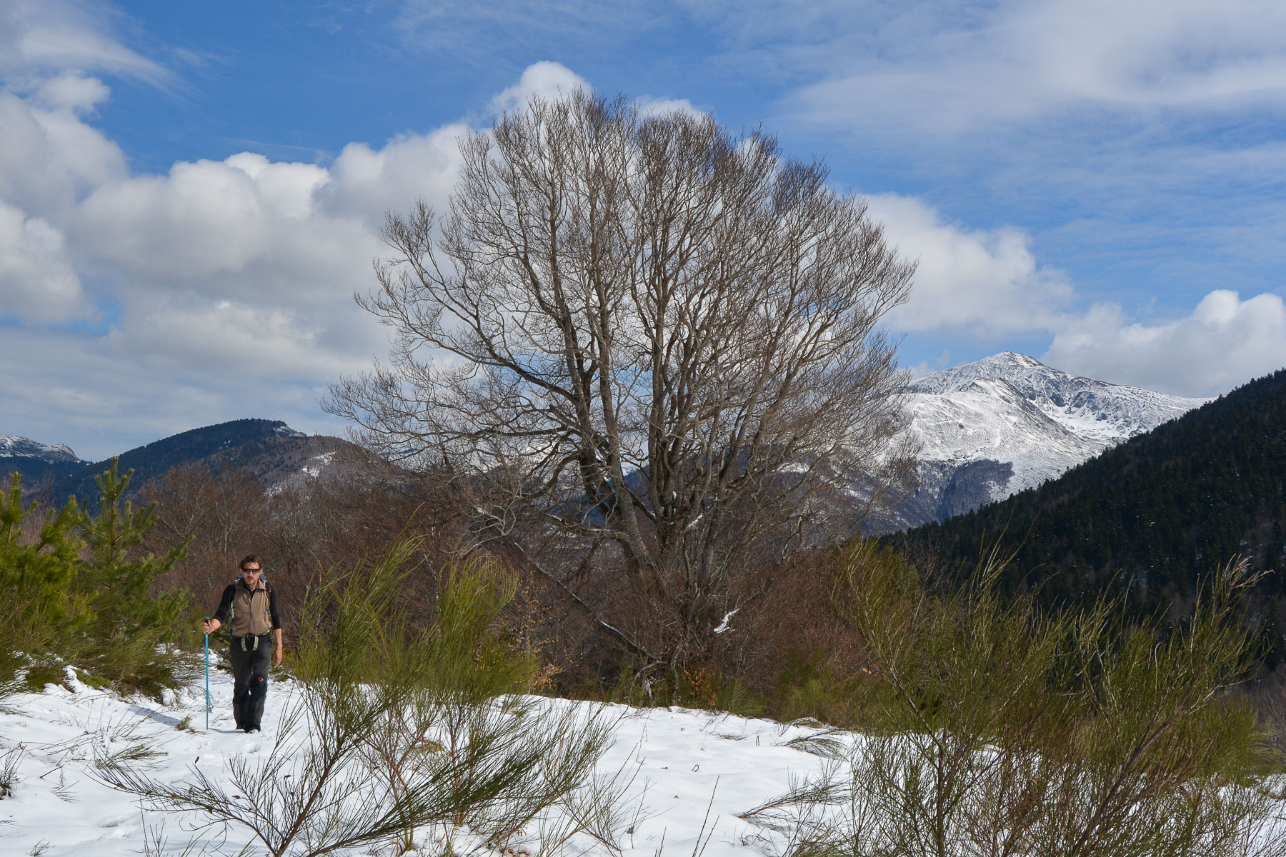
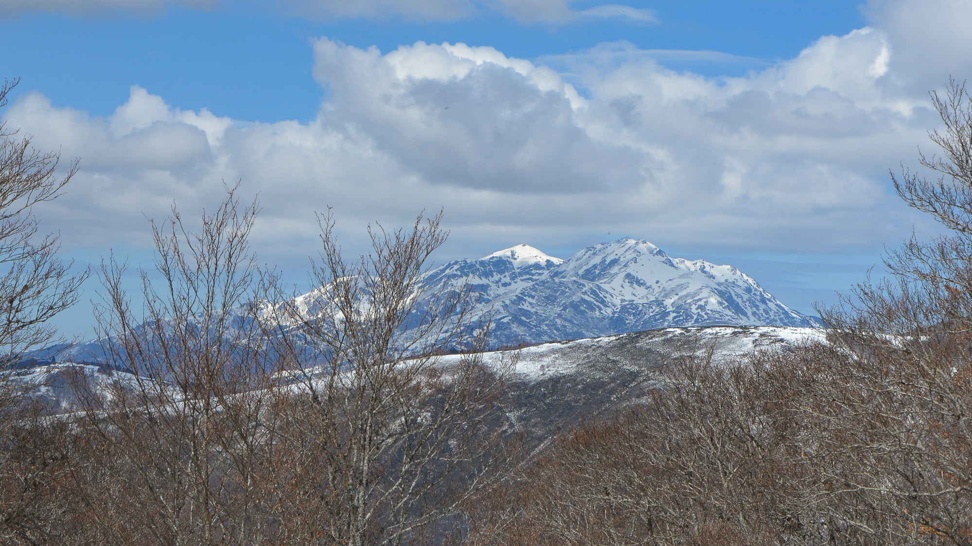
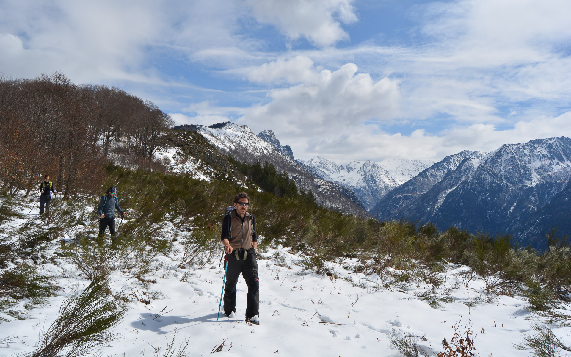
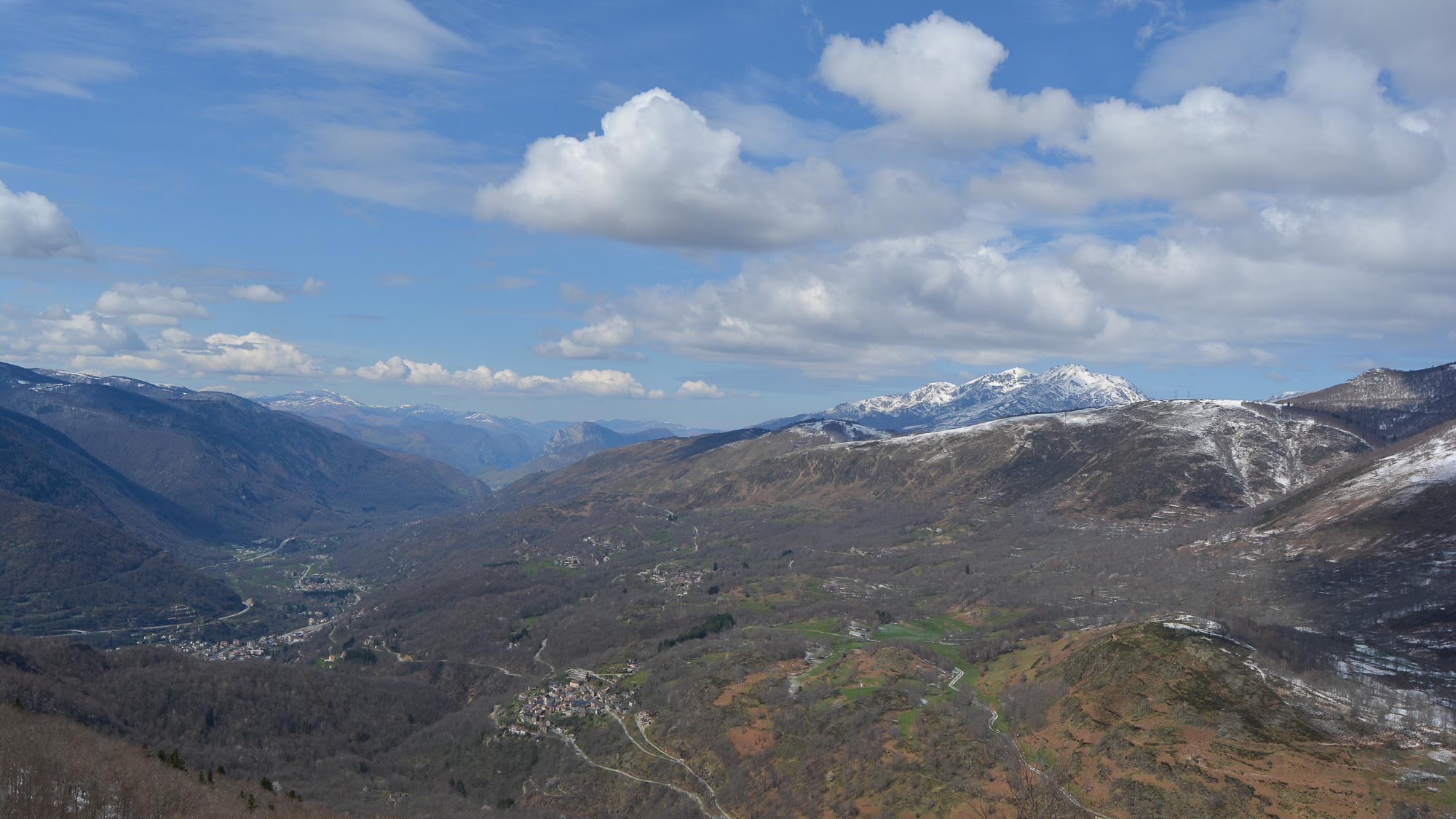
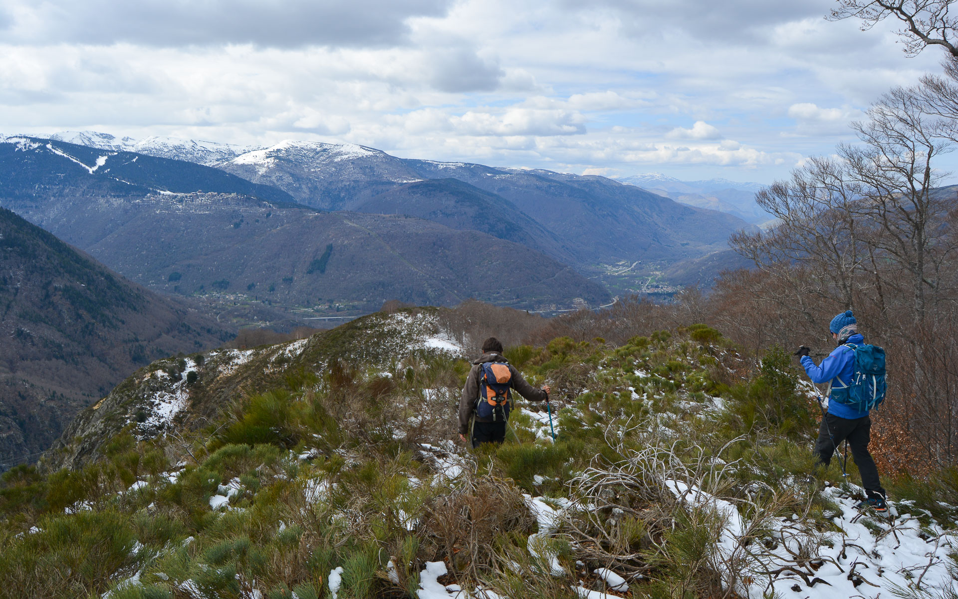
A lovely loop to discover starting from Ascou, for a panoramic route up the Orlu valley to the Table des 3 Seigneurs: in reference to the Pic des 3 seigneurs that can be seen to the west in the line of sight? The ridge from the Col des Losques, which also marks the northern boundary of the Orlu territory, offers a permanent panorama of the peaks of the Haute-Ariège. The route is not difficult, except for the descending part of the ridge, which must be climbed at sight and off-piste. There are also fine views of the Tabe massif and the Ax-les-Thermes valley.
❱❱ Technical summary
Type ✦ Hiking
Location ✦ Ascou
Region ✦ Ariège
Country ✦ France
Max altitude ✦ 1489m
Distance ✦ 14km
Dénivelé ✦ 780m
Duration ✦ 4h to 4h30
Interest ✦ ★★
❱❱ Access to the place
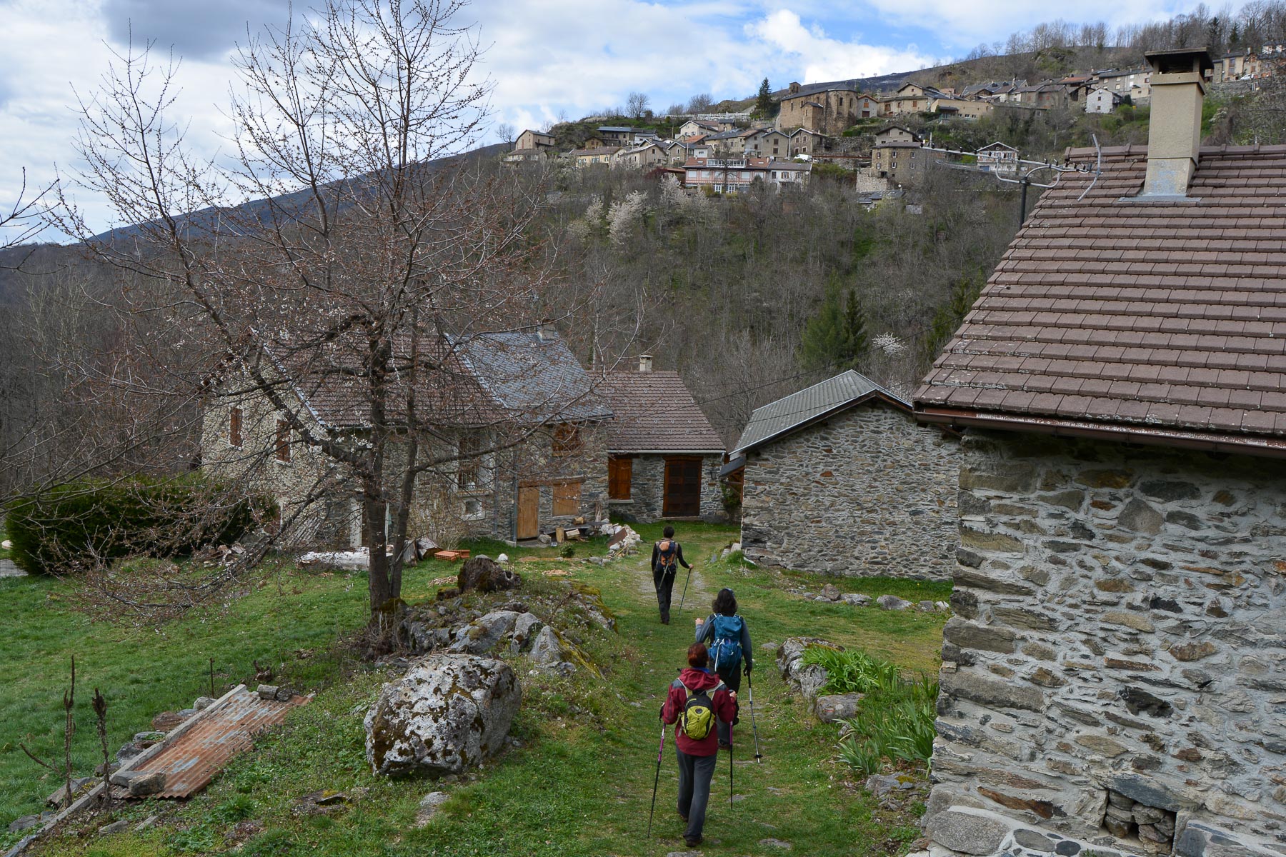
From Ax-les-Thermes, climb towards the Ascou-Pailhères pass. Park below the village of Ascou.
❱❱ Map & topo
❱❱ Itinéraire
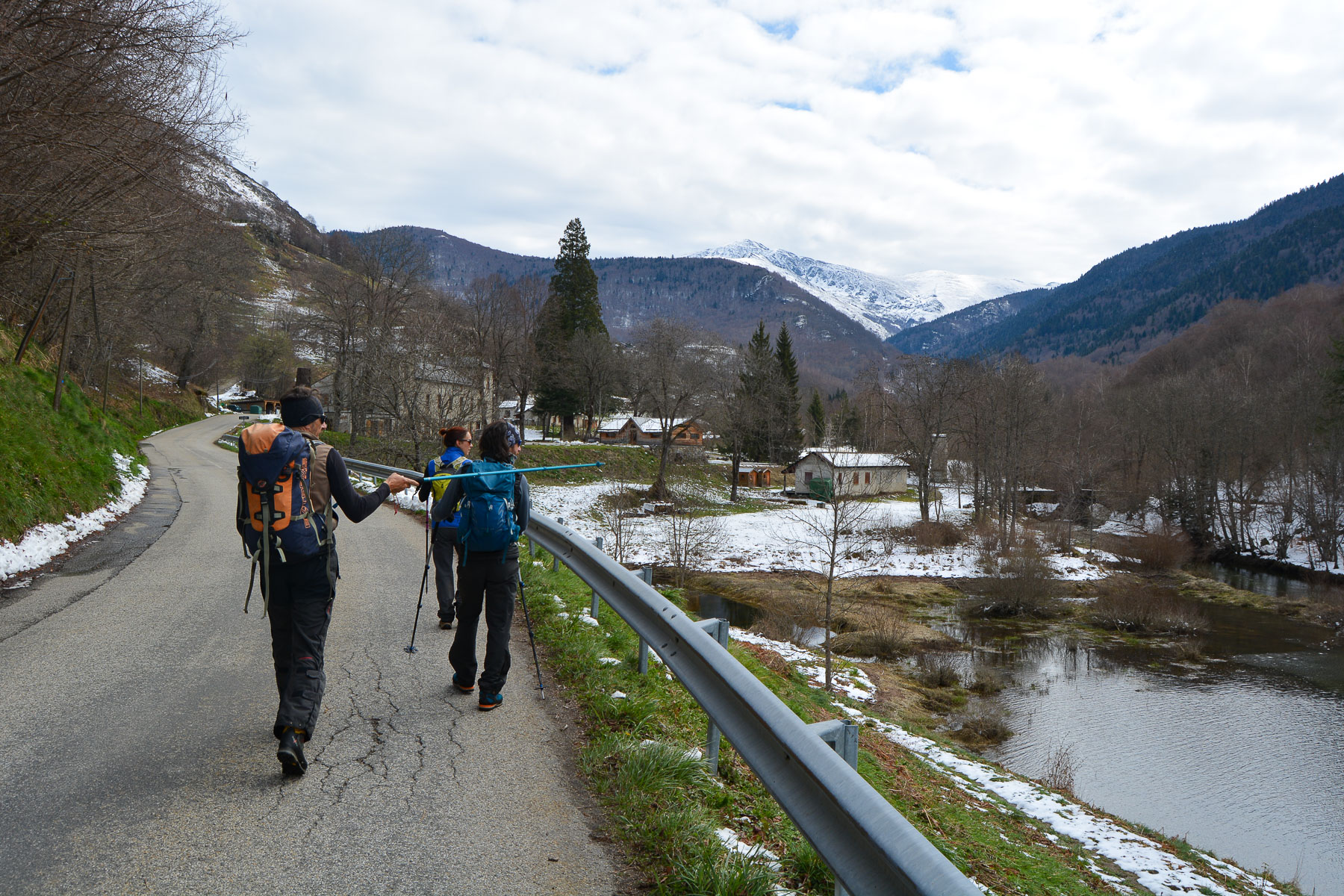
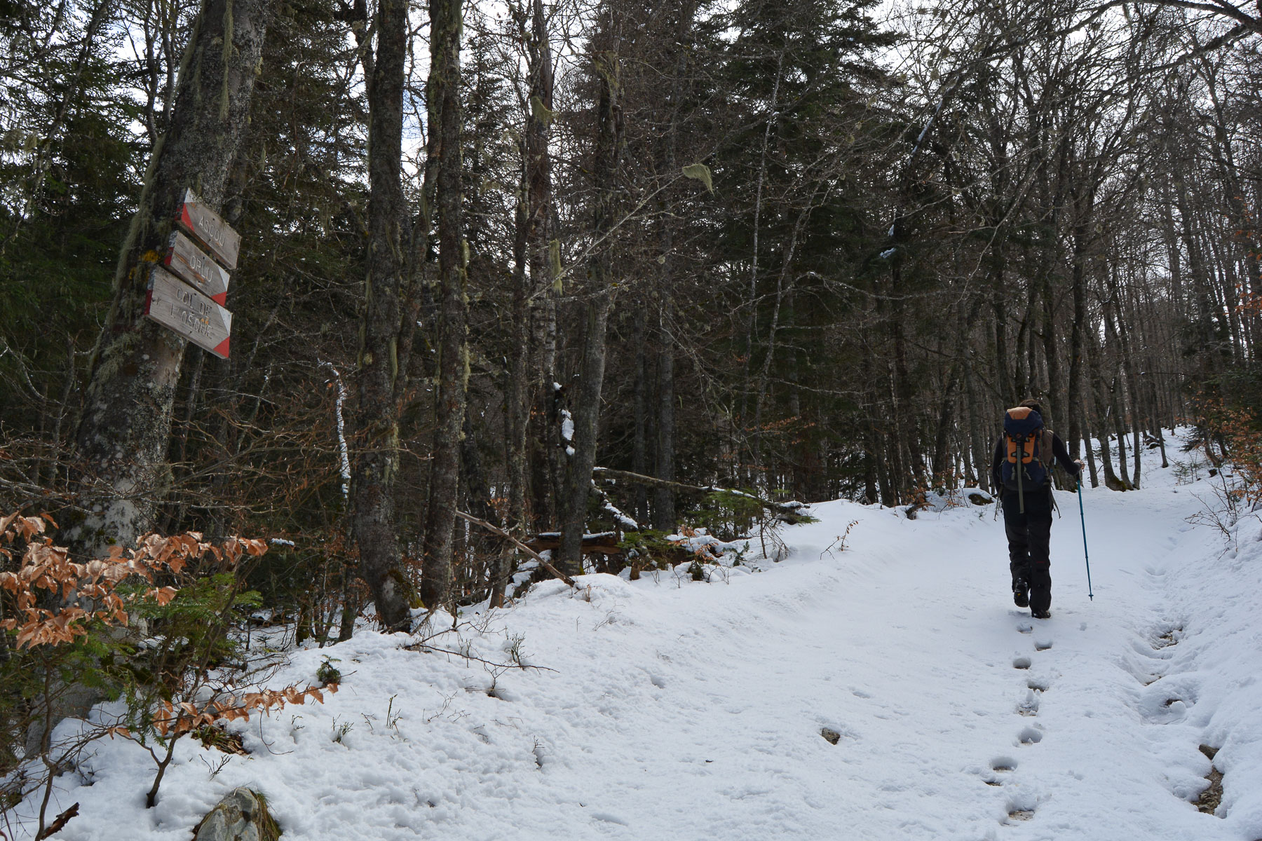
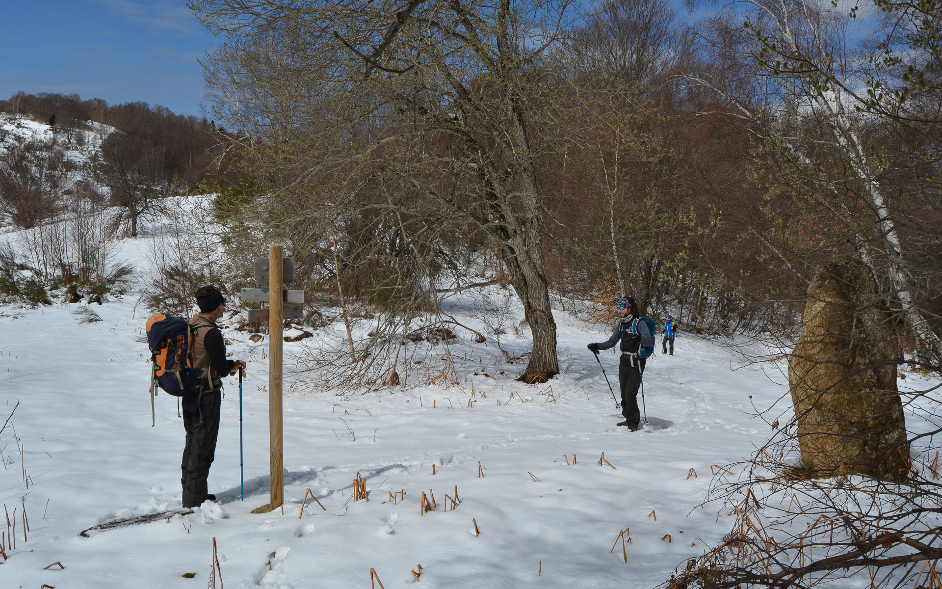
Go up into the village of Ascou and at the watering place/fountain, turn right (east) onto the GR variant route. The path follows a beautiful balcony above the houses to reach a small road higher up. Continue along this road and gently descend to Goulours, skirting the lake. Walk through the hamlet to Lavail, where you'll find the Forge d'Ascou. From here, cross the Lauze to find the GR, which climbs steeply through the forest to the Col de L'Osque.
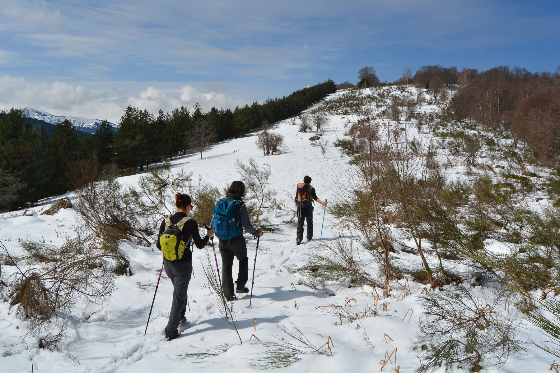
No great difficulty, even if the distance is quite considerable. On the other hand, while the first part is well-marked (GR), the ridge section and especially the descent to the return are off-trail, with a bit of improvisation.
Return to Ascou on the GR 107, which heads north down to the valley floor. Cross the Lauze and climb a few switchbacks to the parking lot below Ascou village.
Information page on the geography and history of the Orlu area


Leave a Reply