


TOPO Hiking | CLIMBING7.COM
Publié le
 Partager sur WhatsApp
 Partager sur Twitter
Partager sur Instagram
Partager sur Twitter
Partager sur Instagram

 Partager sur Facebook
 Imprimer le topo
 Laisser un commentaire

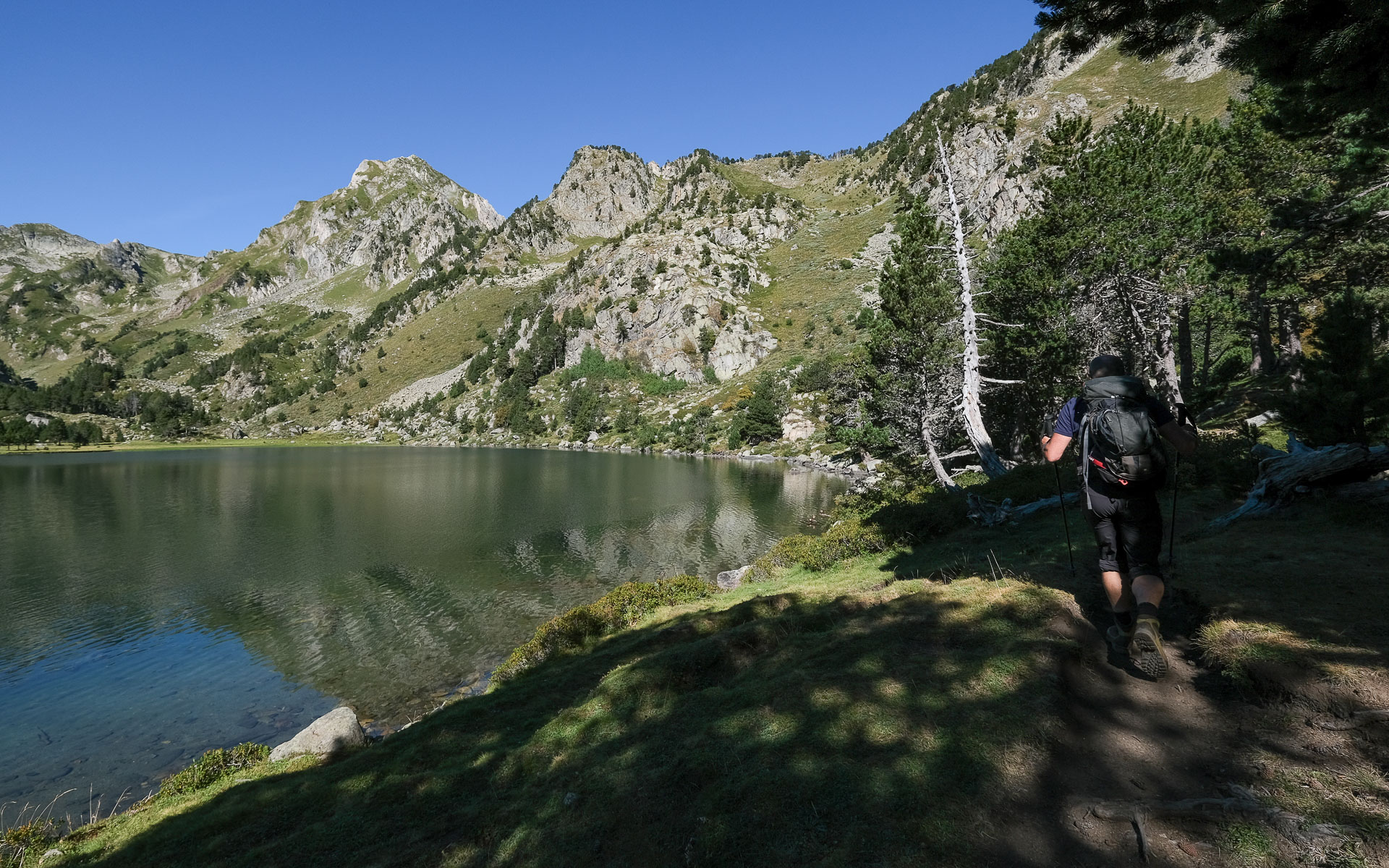
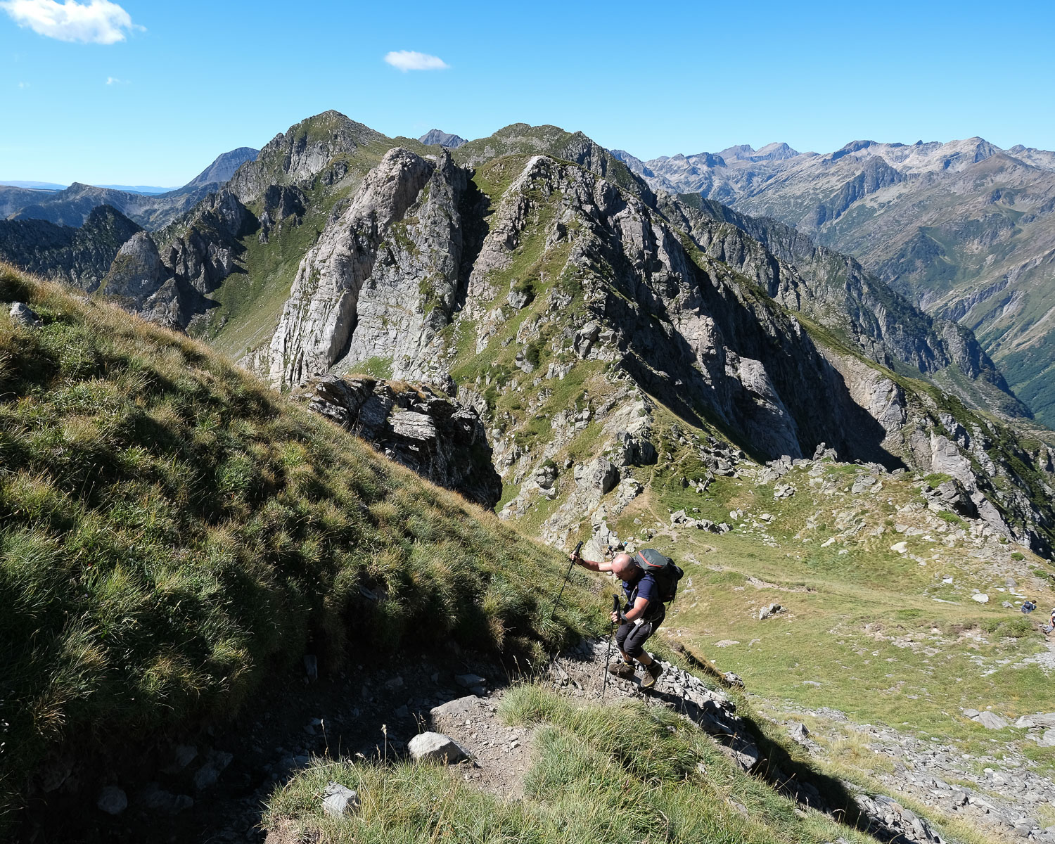
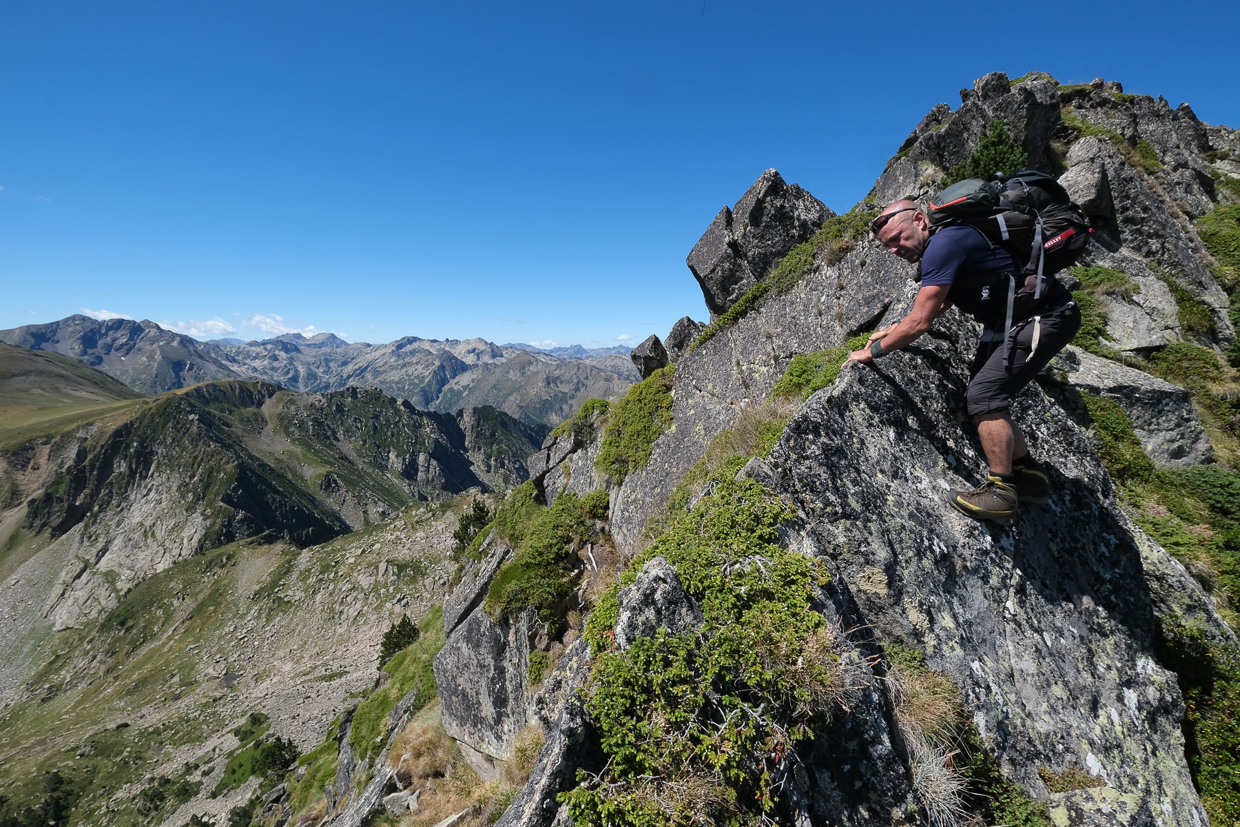
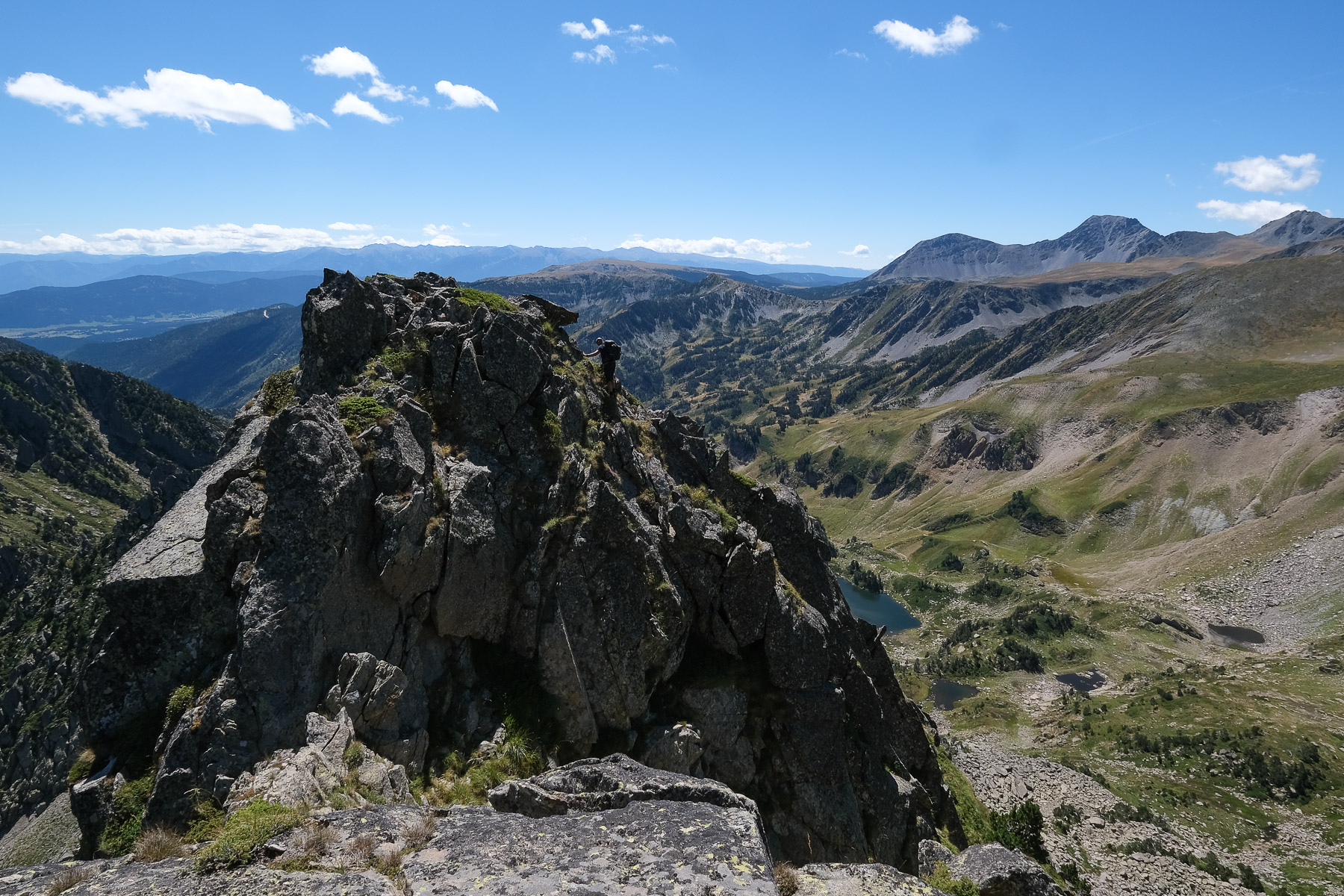
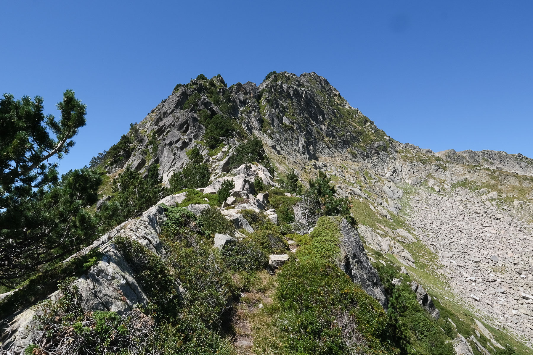
Discover the magnificent landscapes of Donezan and particularly the Etang du Laurenti, at the foot of the cirque formed by Roc Blanc, Pic de la Baxouillade and Pic de la Tribune. Although very popular, the ascent of Roc Blanc is well worth the detour. A return trip to the Pic de Baxouillade is also possible, or for a more challenging route, we tried the south-east ridge of the Baxouillade, which descends to the Portella del Llaurenti, an exposed route with a few climbing passages to negotiate (IV/IV+). To be repeated, it would seem preferable to do the loop in the opposite direction to climb back up the ridge, possibly with a bit of protective gear, and finish at Roc Blanc.
❱❱ Technical summary
Type ✦ Alpine hiking
Location ✦ Artigues, Donezan, Mijanès
Region ✦ Ariège
Country ✦ France
Max altitude ✦ 2546m
Distance ✦ 13km
Vertical drop ✦ 970m
Difficulty ✦ E3 / T4 / R4
Duration ✦ 5h to 6h
Interest ✦ ★★
❱❱ Access to the place
From Mijanès, take the D25 towards Artigues, and shortly before reaching Le Pla, turn right onto a forest road. After some steep switchbacks, you reach the end of a road in good condition, 4.9 km from the junction with the D25. The rest of the way is on a rutted road with holes, and a track in places, to be avoided if there's heavy rain. It's okay with a car, but be careful not to leave your crankcase in it... It climbs for a while before finally reaching the final parking lot at the Laurenti forest refuge, the starting point of the itinerary. 7.3 kms from the D25 fork.
❱❱ Map & topo
❱❱ Itinéraire
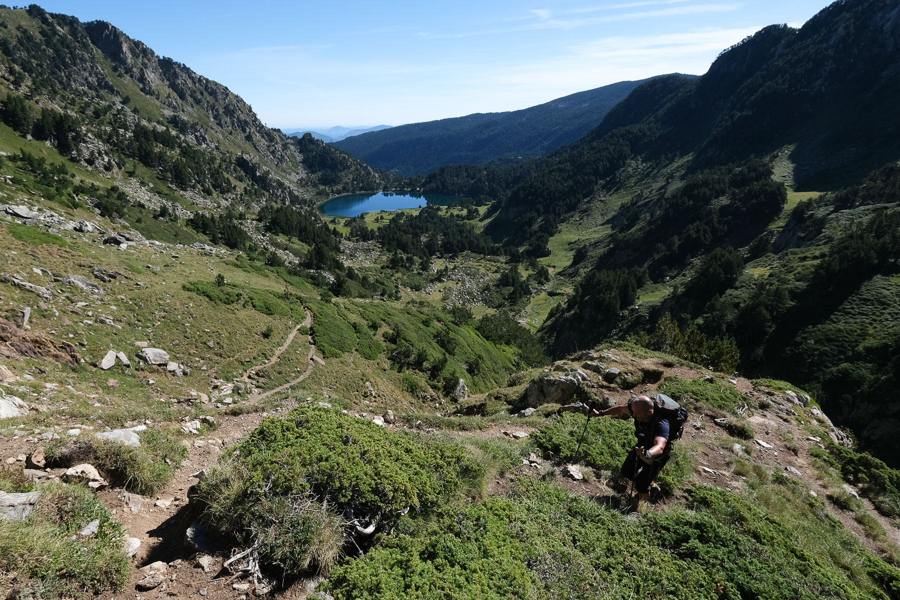
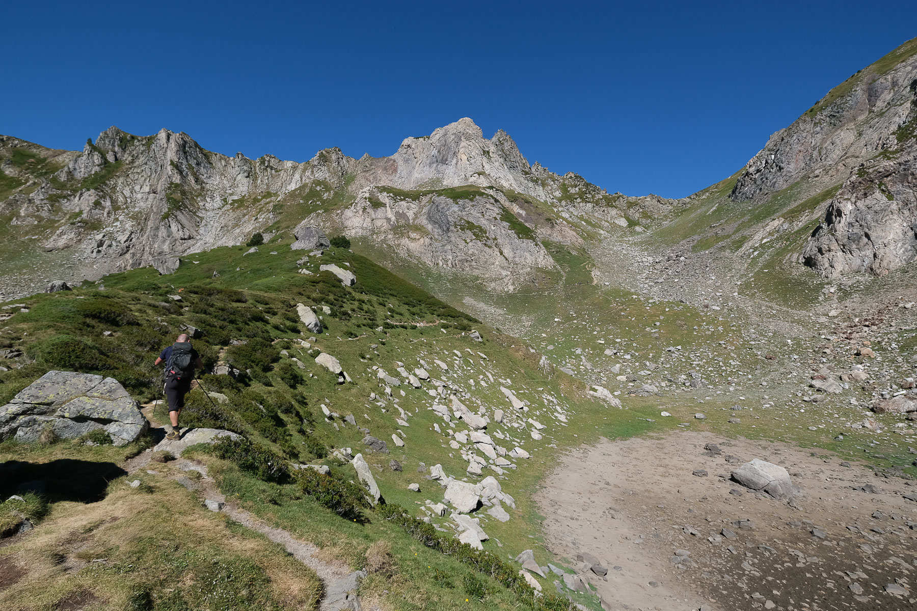
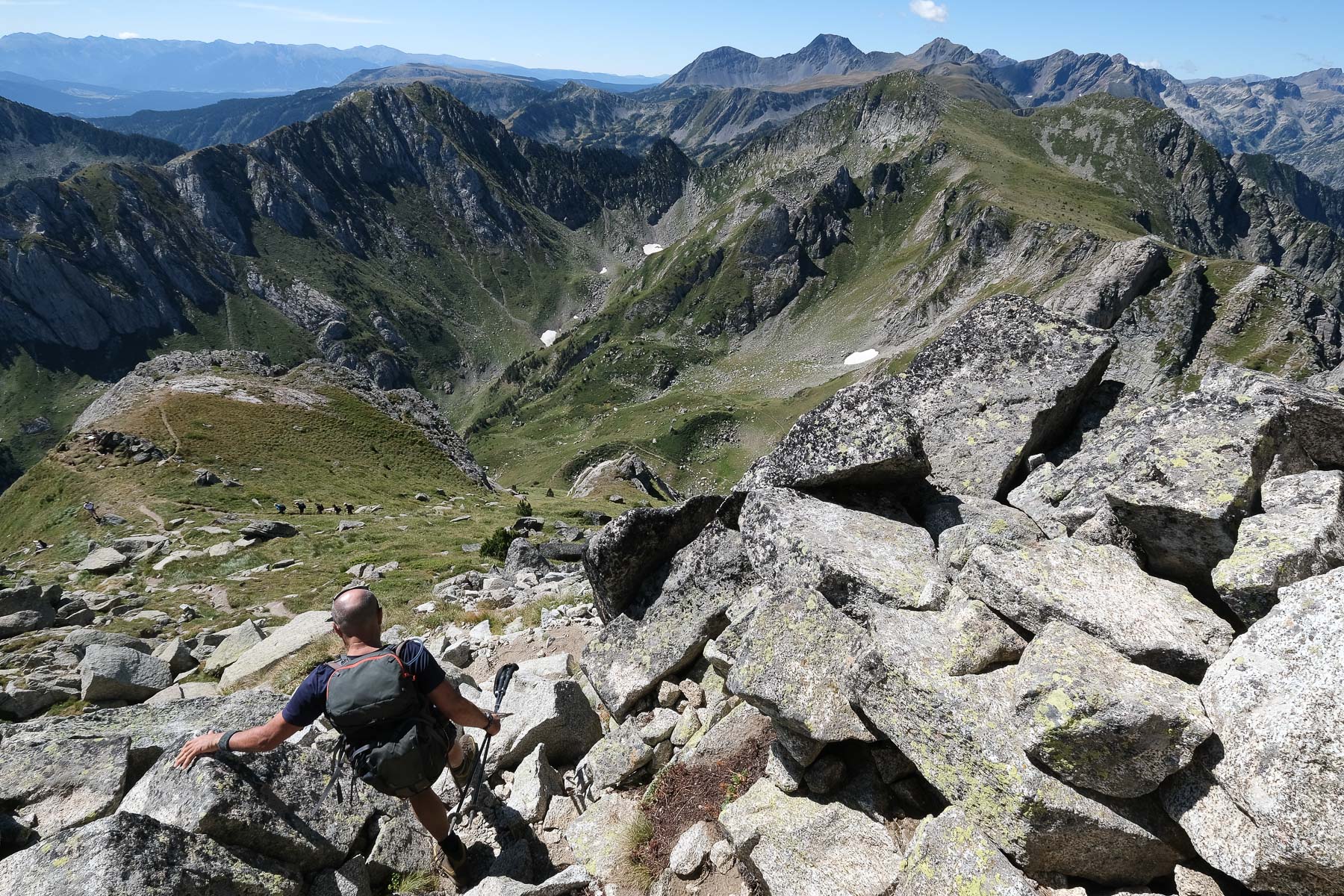
From the parking lot, take the wide forest path marked in yellow and red (PR). It climbs gently at first, then steeper over a section to reach a long clearing after 30'. You can see the Laurenti crest sticking out. Then it climbs up to a landing on more open ground. We cross a field of broom, then a scree slope that finally leads to the Laurenti pond.
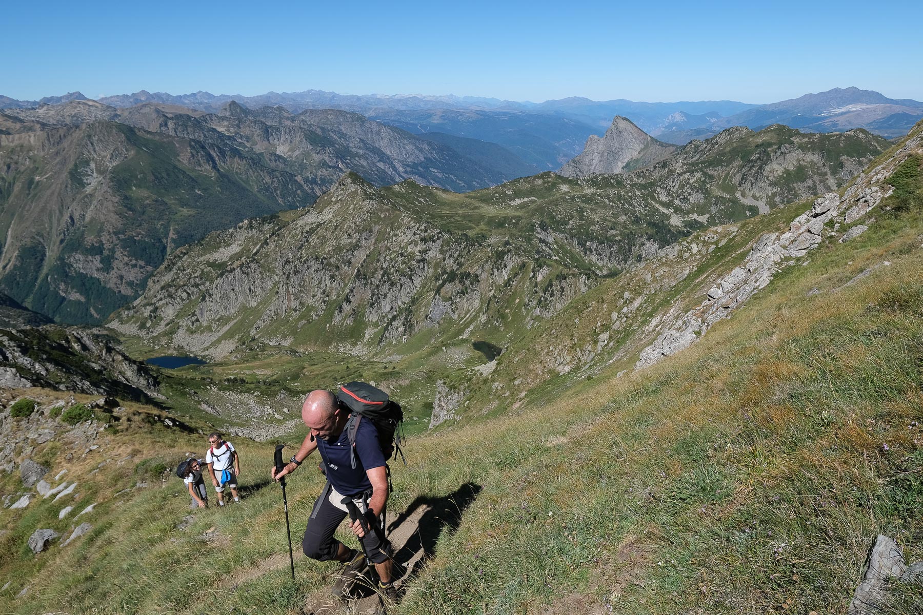
If you make the round trip to the Pic de Baxouillade, simply follow the path in the opposite direction back to the Col de Laurenti, then to the pond. This leaves the 30' to 45' descent to the parking lot.
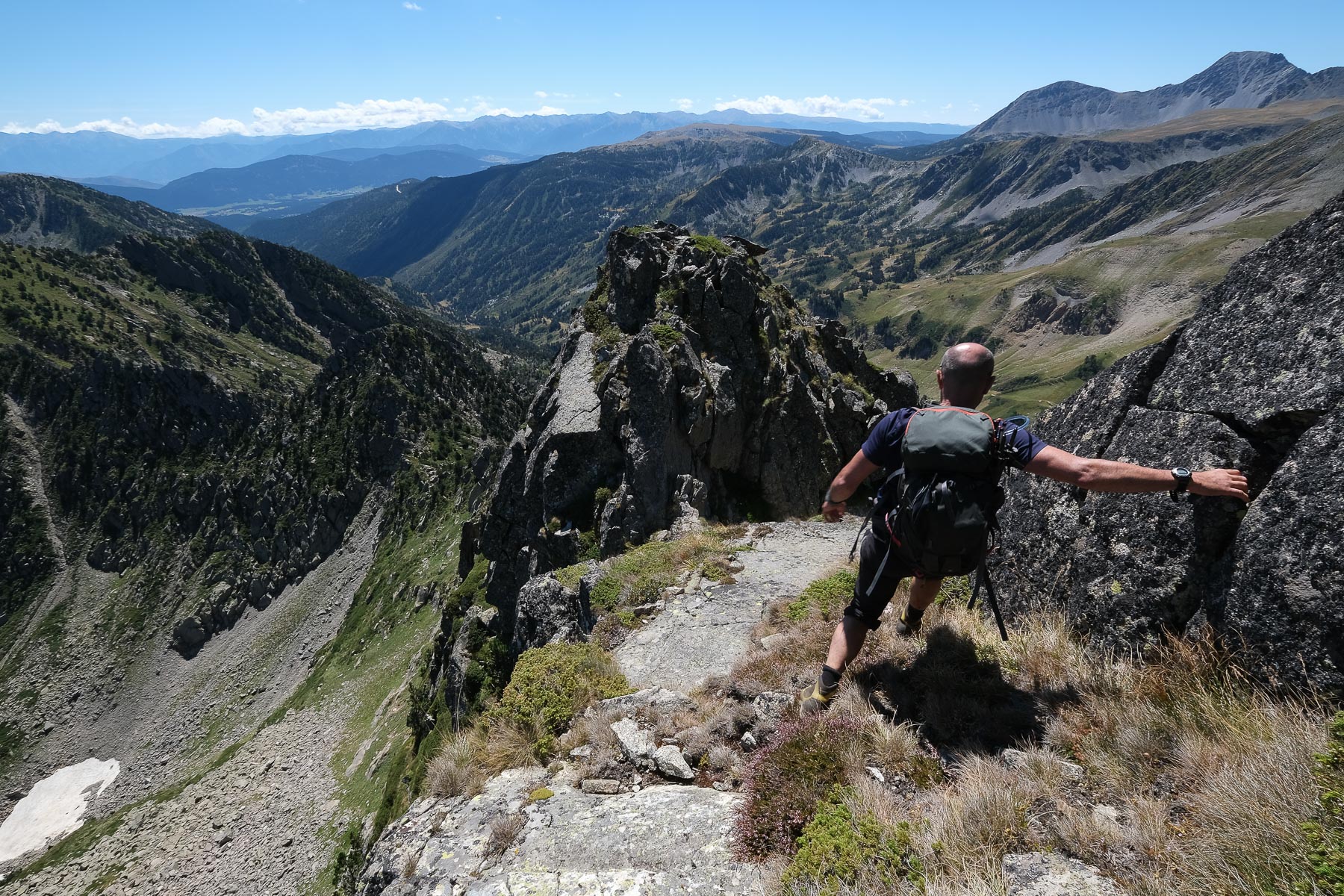
Coming from the ridge, you end up at the Portella del Llaurenti, then descend on the north side into the narrow, steep couloir on unstable ground. Further down, extract yourself on the right bank to finish the descent on a less steep slope with more stable ground. Once in the basin, follow the stream on the left bank, passing an area of peat bog, and continue on to return to the fork in the road where you crossed the rocky chaos above the Etang du Laurenti. Return to the west bank of the pond and complete the 30' to 45' to the parking lot.
Topo de la rando du Roc blanc en boucle par le vallon de Barboullière on Visorando.


Leave a Reply