


TOPO Ski Touring | CLIMBING7.COM
Publié le
 Partager sur WhatsApp
 Partager sur Twitter
Partager sur Instagram
Partager sur Twitter
Partager sur Instagram

 Partager sur Facebook
 Imprimer le topo
 Laisser un commentaire

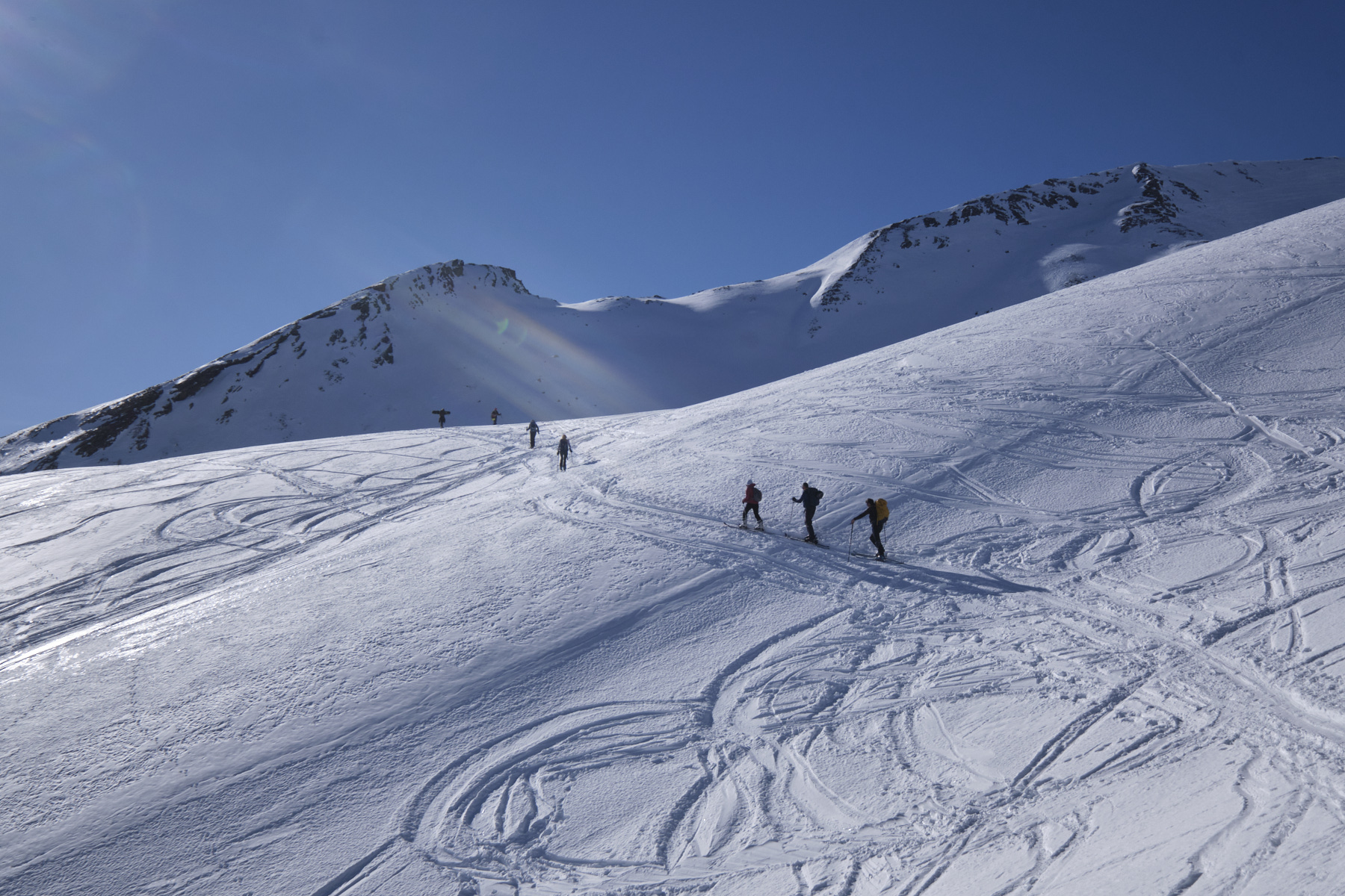
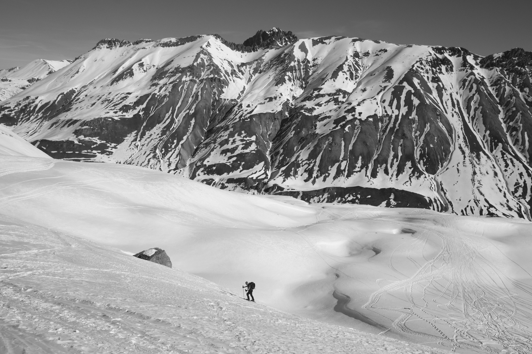
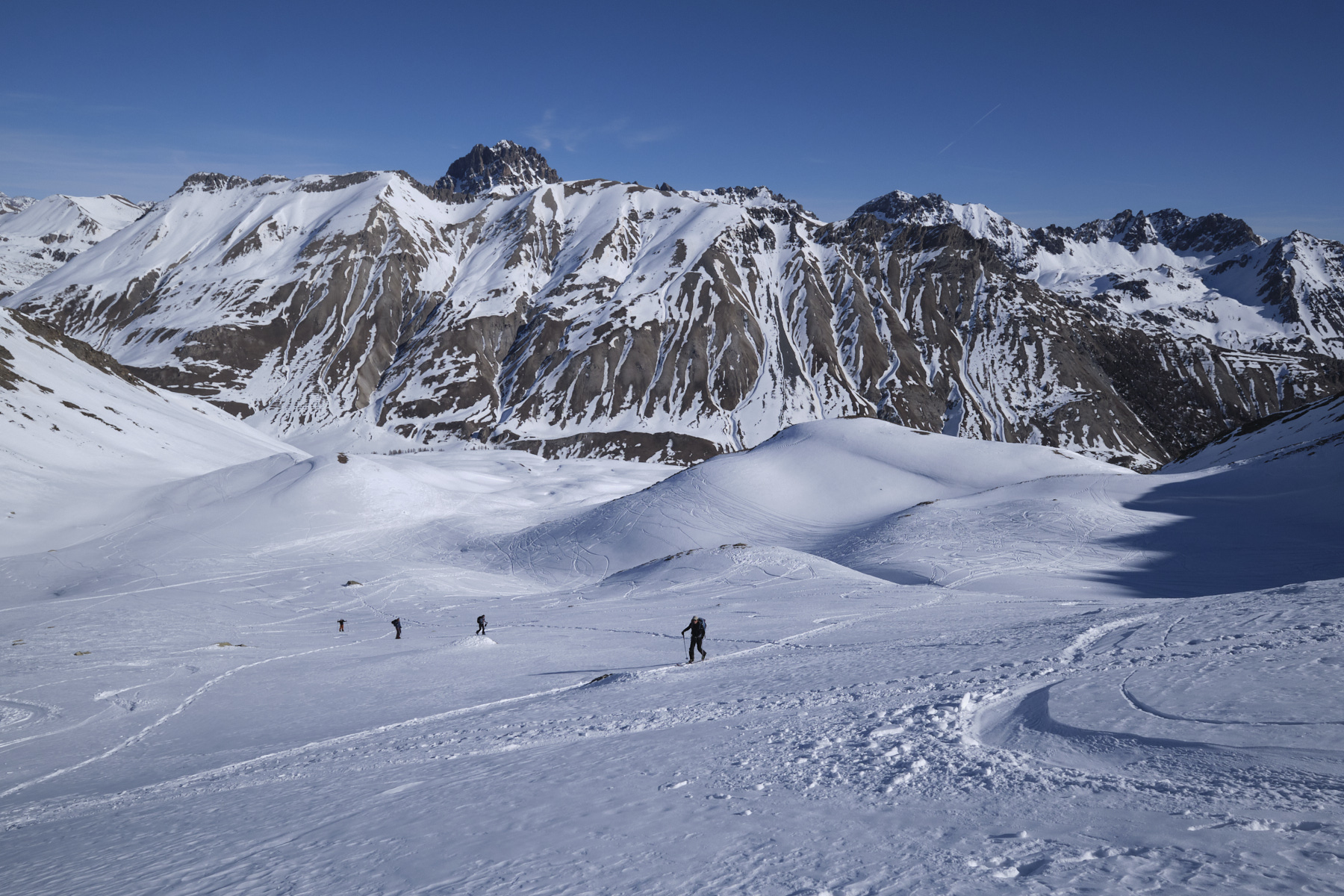
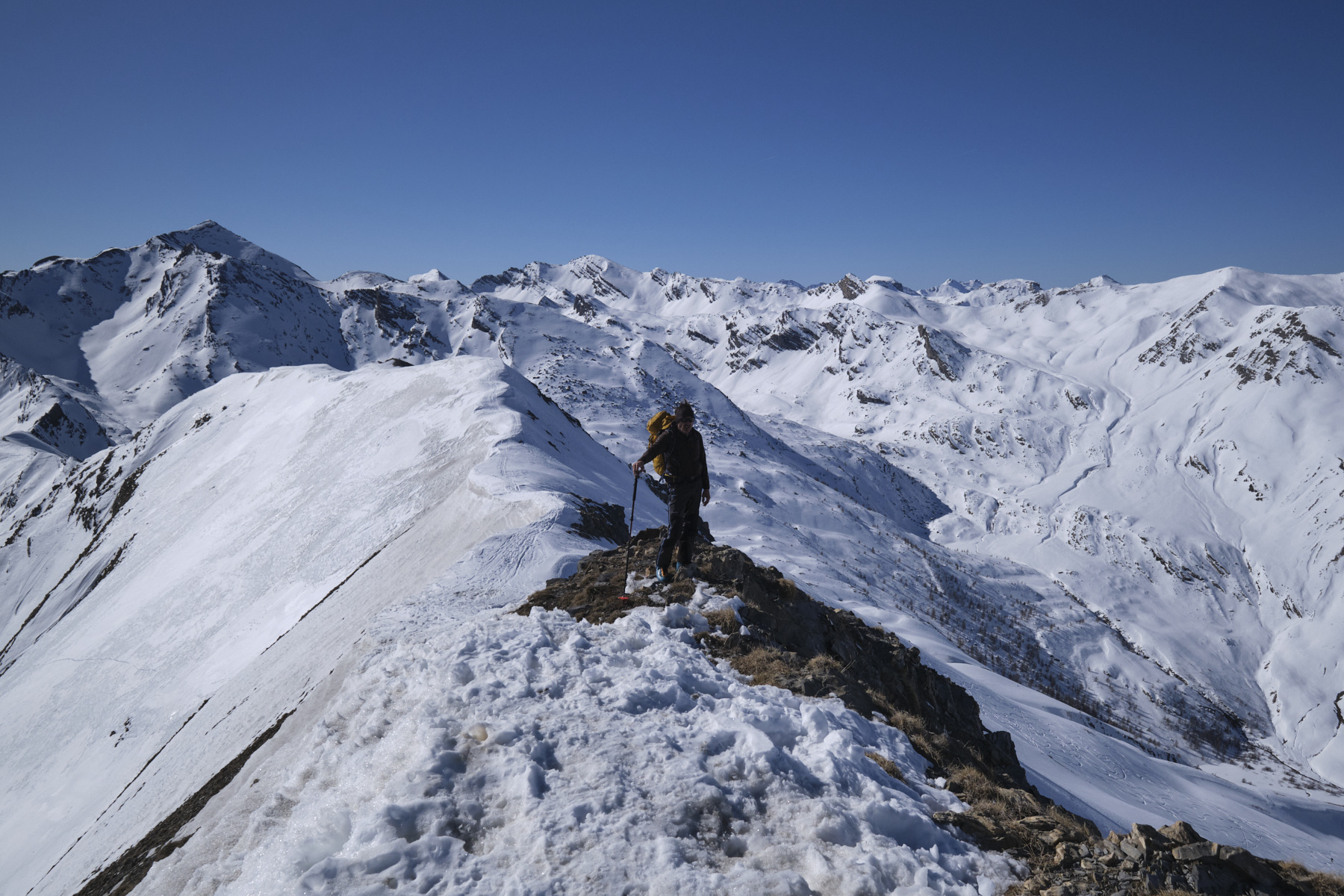
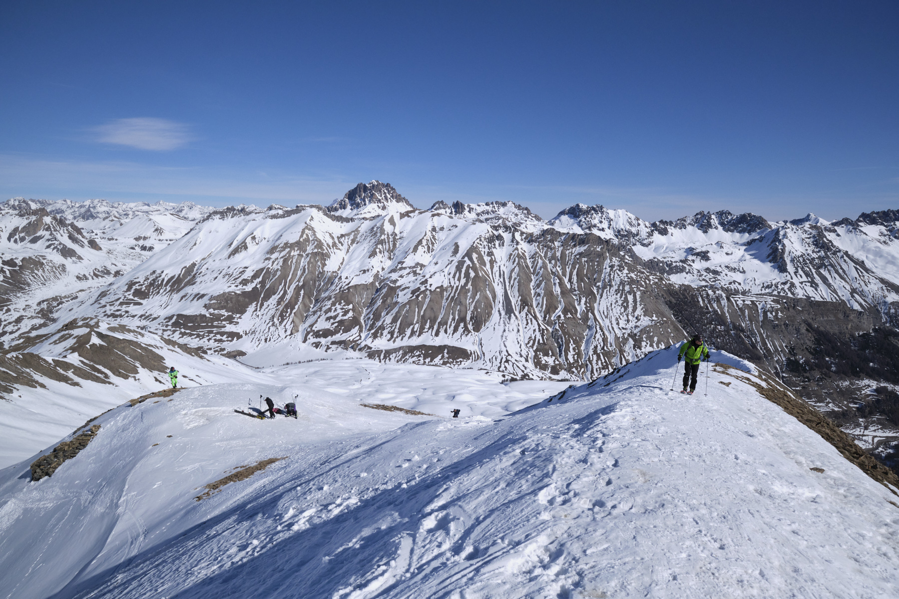
The ascent of Monte Ventasuso (or l'Enclause) on the Italian side gradually climbs up a pretty, open, north-west-facing valley to reach the summit ridge just before the summit via a slightly steeper northern section. You're now on the Franco-Italian border, with the Tête de l'Enchastraye and the Rocher des Trois Évêques dominating the Lauzanier valley in your sights to the south. A medium-difficulty outing, easily accessible and offering beautiful panoramic views of the northern Mercantour.
❱❱ Technical summary
► Itinerary : Ski touring. Elevation gain 680m, ascent distance approx. 4.5 kms. Maximum altitude of 2712m at the summit of Monte Ventasuso.
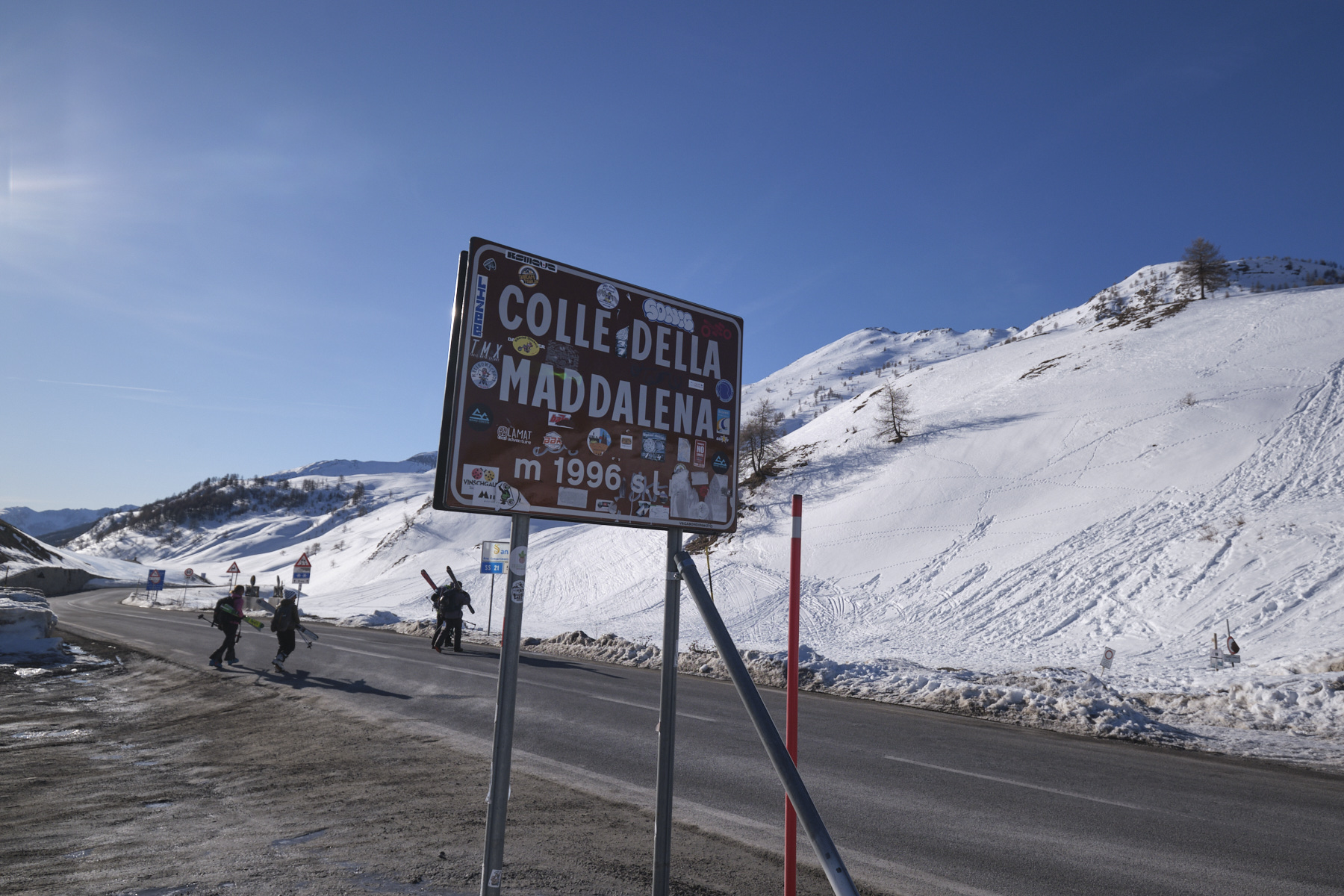
► Geographical situation : Departure from Colle della Maddalena (Col de Larche), on the border between Barcelonnette (Alpes-de-Haute-Provence) and Cuni (Piedmont), at an altitude of 1996m.
► Technical difficulties : The last section north to the northwest ridge is steeper (25/30°). Rated R, 2.2, E1 on Skitour.
► Orientation : North-West then North on the final section.
► Gear and equipments : Knives for the final section (if hard).
► General review : A medium-difficulty outing, easily accessible and offering beautiful panoramic views of the northern Mercantour.
❱❱ Access to the place
From Barcelonnette, take the D900 up to Col de Larche and Cunéo. Pass through Jausiers, La Condamine-Chatelard, Meyronnes and Larche. At the Col, cross the border slightly and park in the large parking lot opposite the della Pace refuge.
❱❱ Map & topo
The route of the ascent is an approximation, drawn up after the outing.
Voir en plein écran❱❱ Itinéraire
Topo de l'Enclause on Skitour (different route to the summit)


Leave a Reply