


TOPO Via ferrata | CLIMBING7.COM
Publié le
 Partager sur WhatsApp
 Partager sur Twitter
Partager sur Instagram
Partager sur Twitter
Partager sur Instagram

 Partager sur Facebook
 Imprimer le topo
 Laisser un commentaire
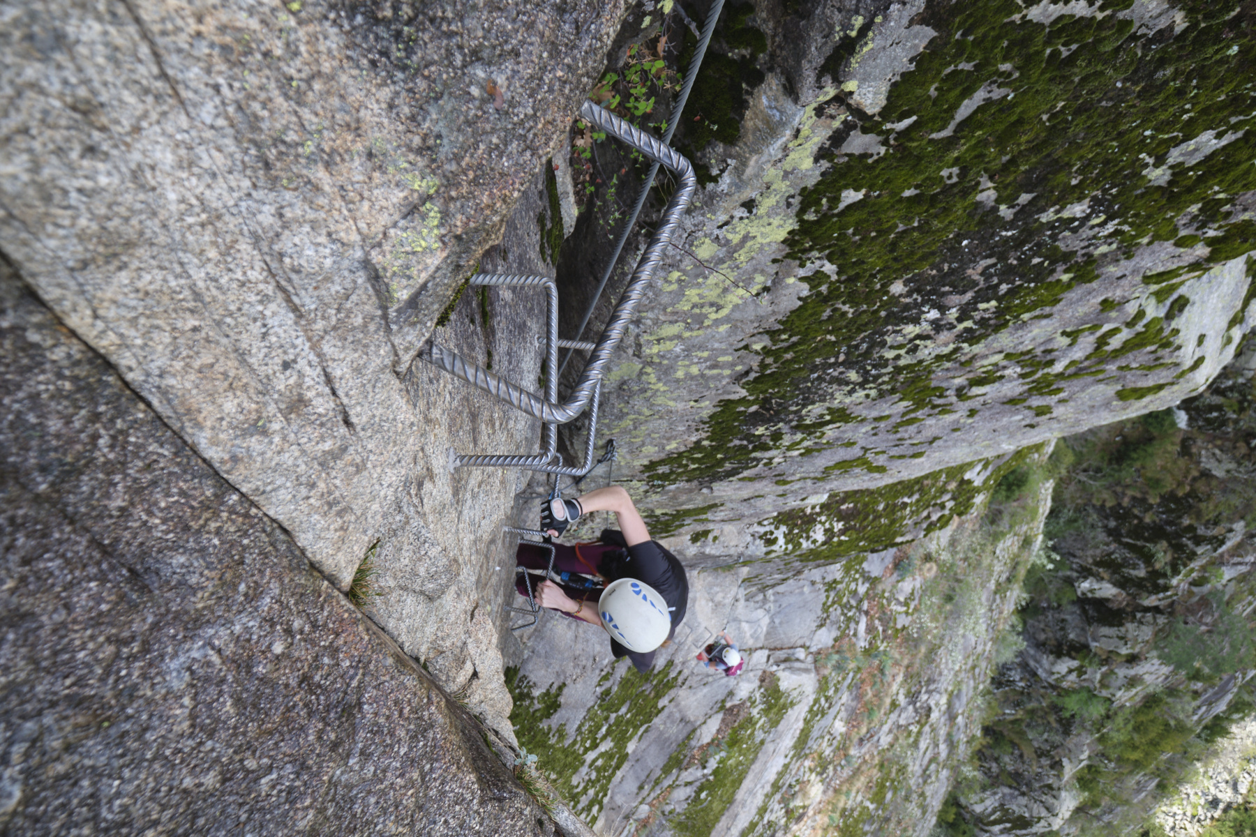
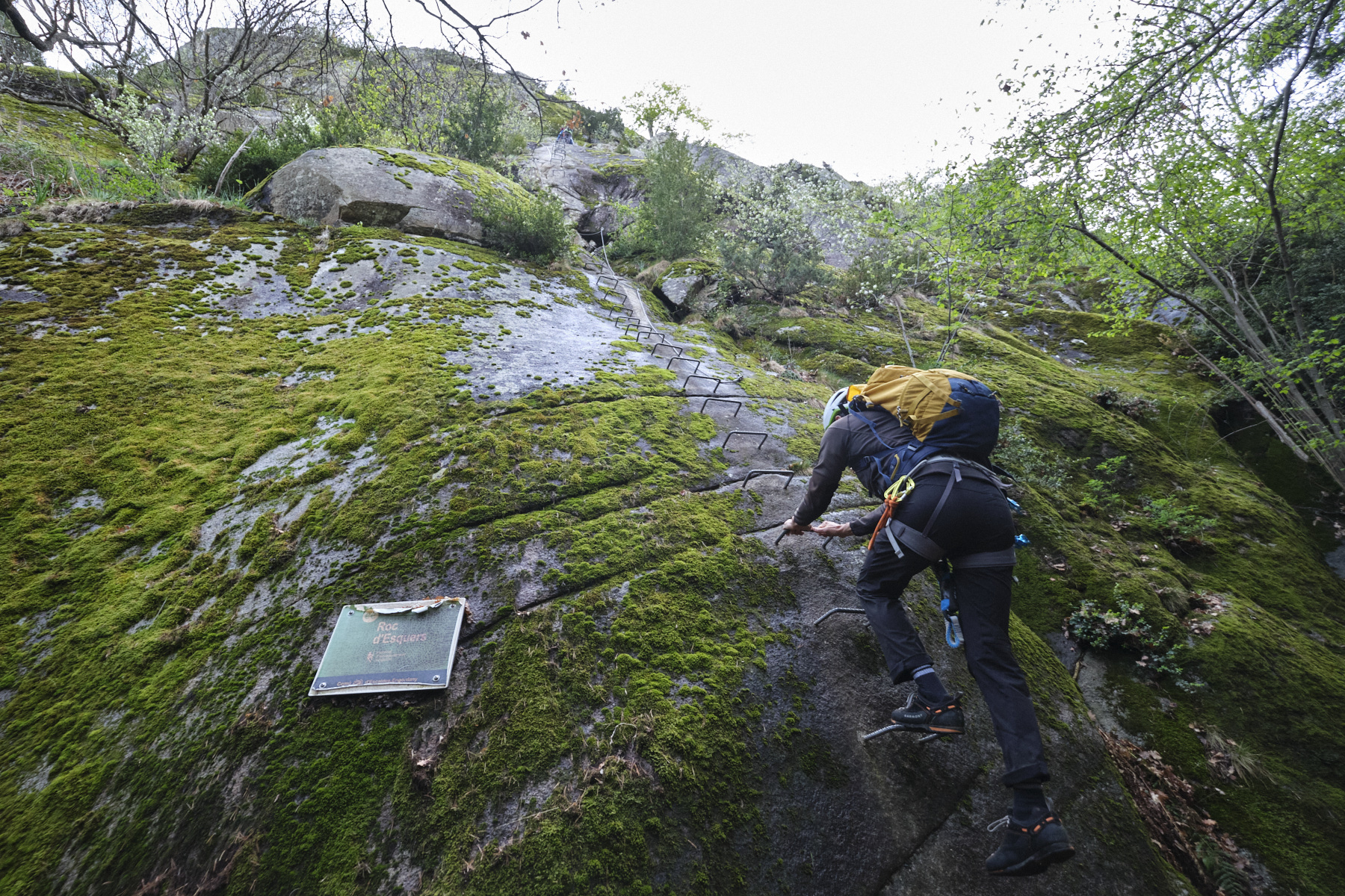
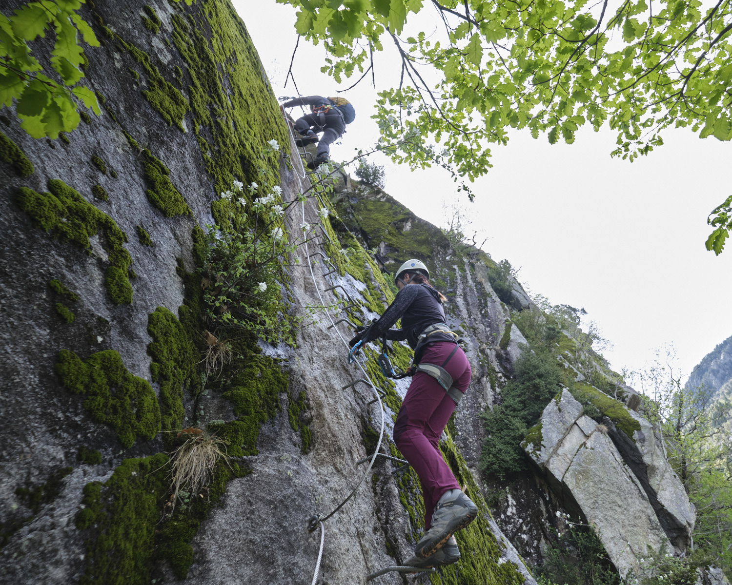
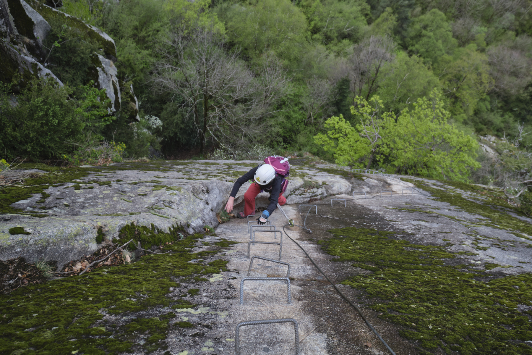
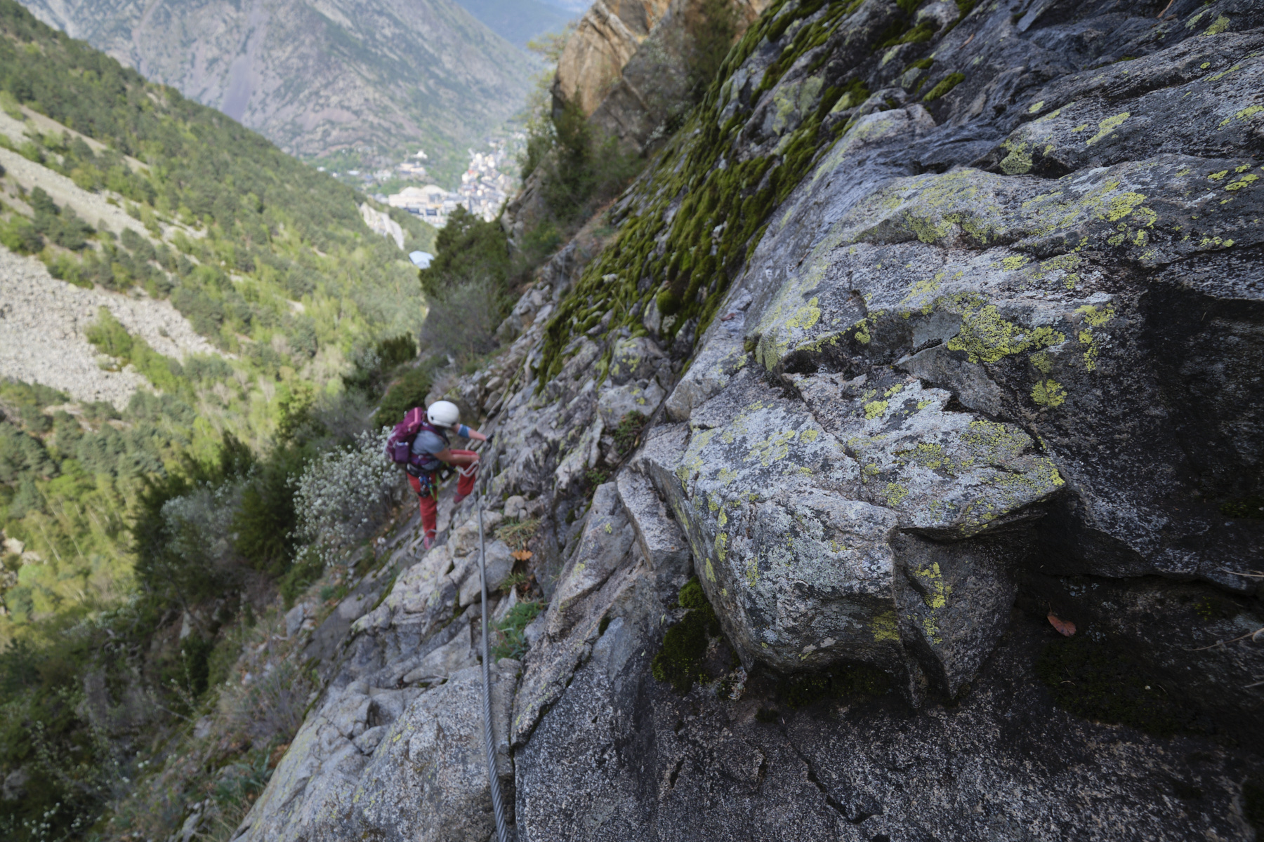
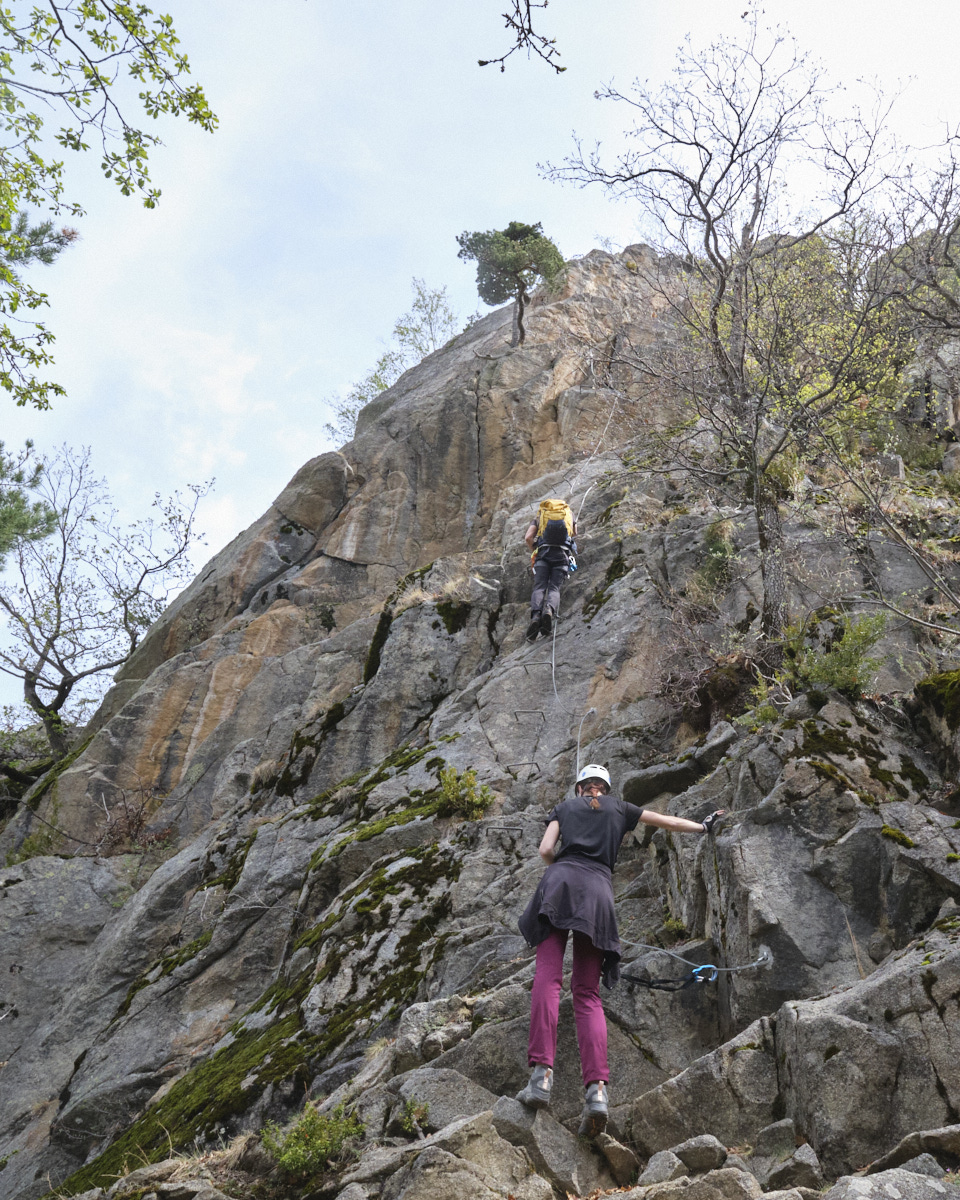
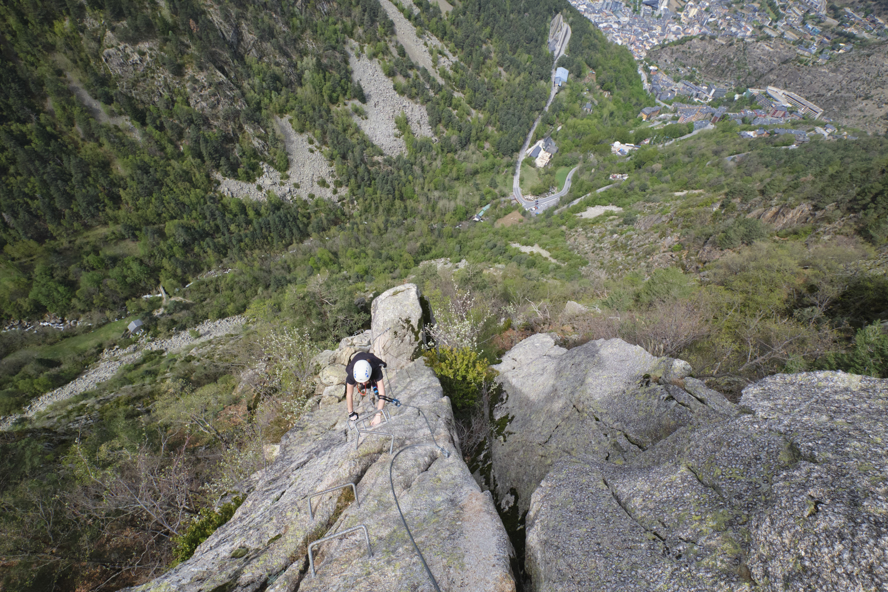
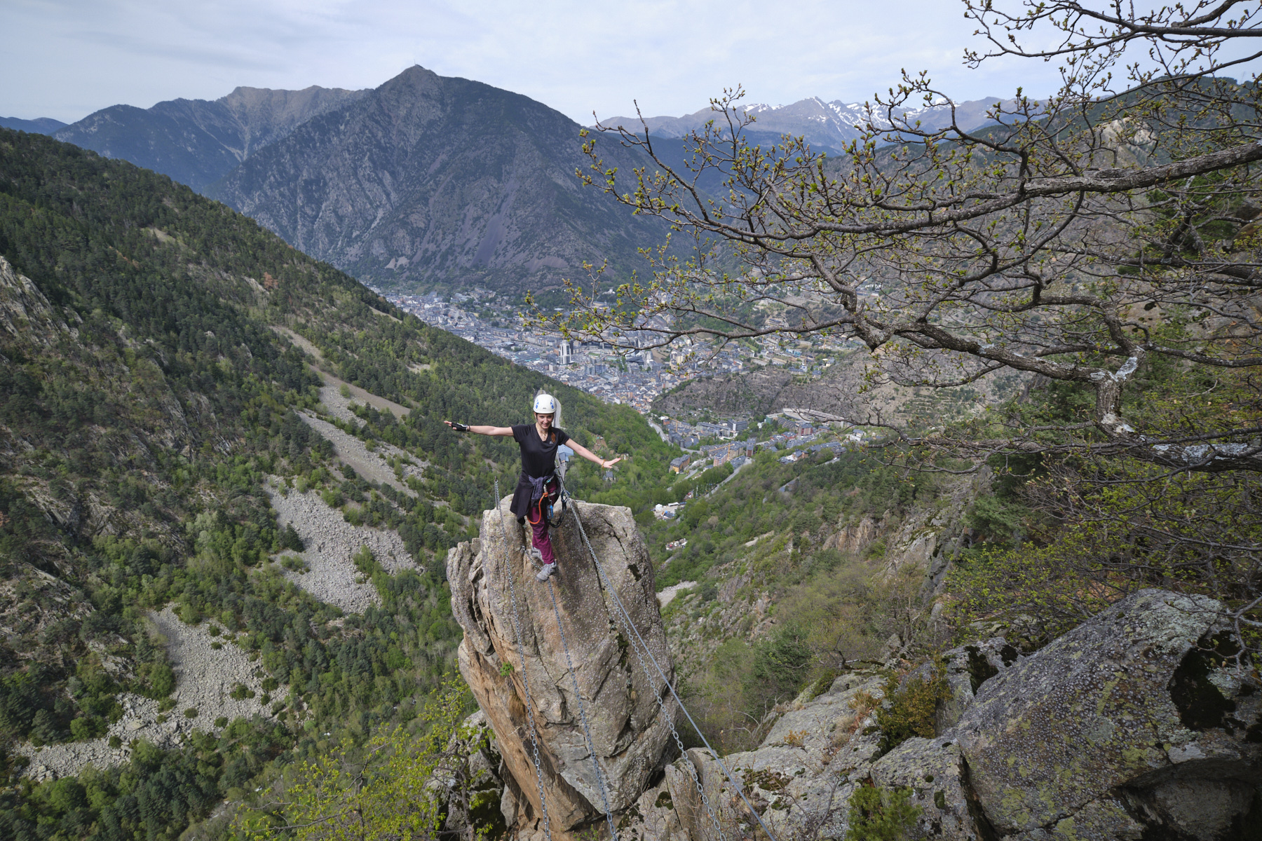
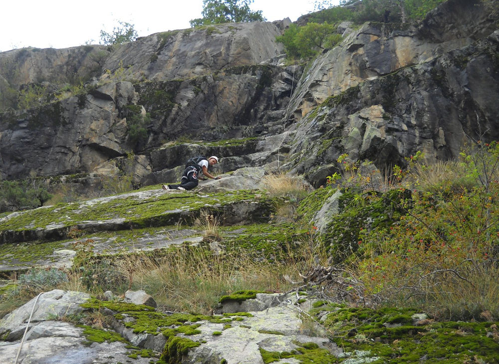
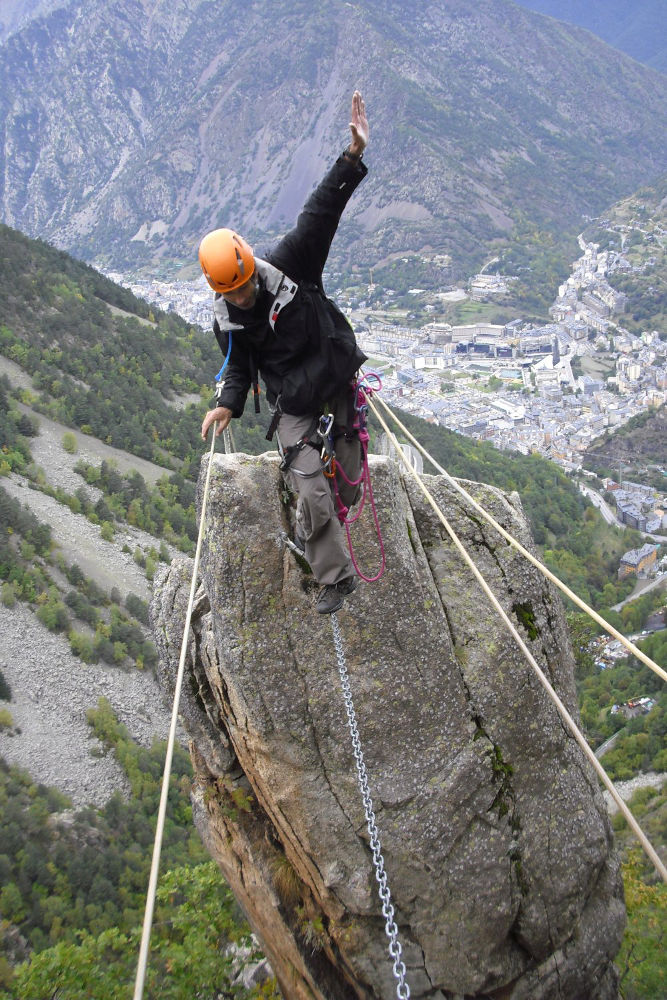
The ascent of Roc d'Esquers, above Escaldes-Engorny, is a beautiful ferrata, homogeneous in level, atypical and ultimately rather difficult. The route zig-zags around a large, rather chaotic cliff in a wild, forested atmosphere, far from the noise of the city. It's a sequence of multiple walls and dihedrals to negotiate, often using the rock for feet and with a few more technical or physical passages. There's more to come on the way out: you'll have to hike all the way up to Coll Jovell. Then it's back down to enjoy the peaceful Madriu valley, a UNESCO World Heritage site.
❱❱ Technical summary
■ Departure point: Vall de Madriu parking lot, route d'Engolasters, Escaldes-Egordany, Andorra.
■ Type of route: via ferrata
■ Direction: west
■ Fitted length: 350m
■ Vertical rise: +530 m
■Estimated total time: 2h30 to 3h30
■ Min and max altitude: 1250 m / 1780 m
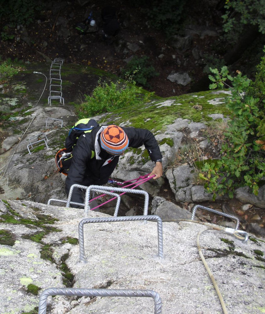
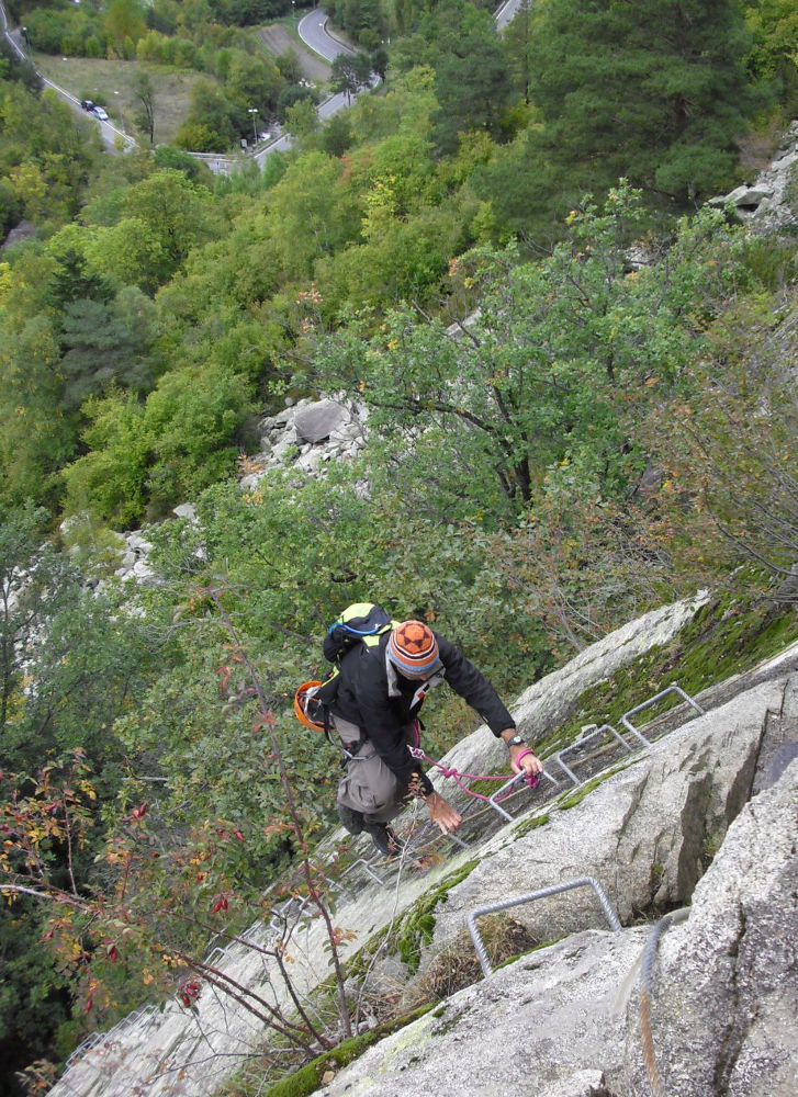
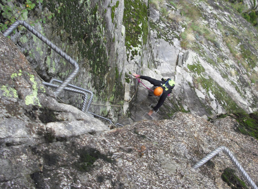
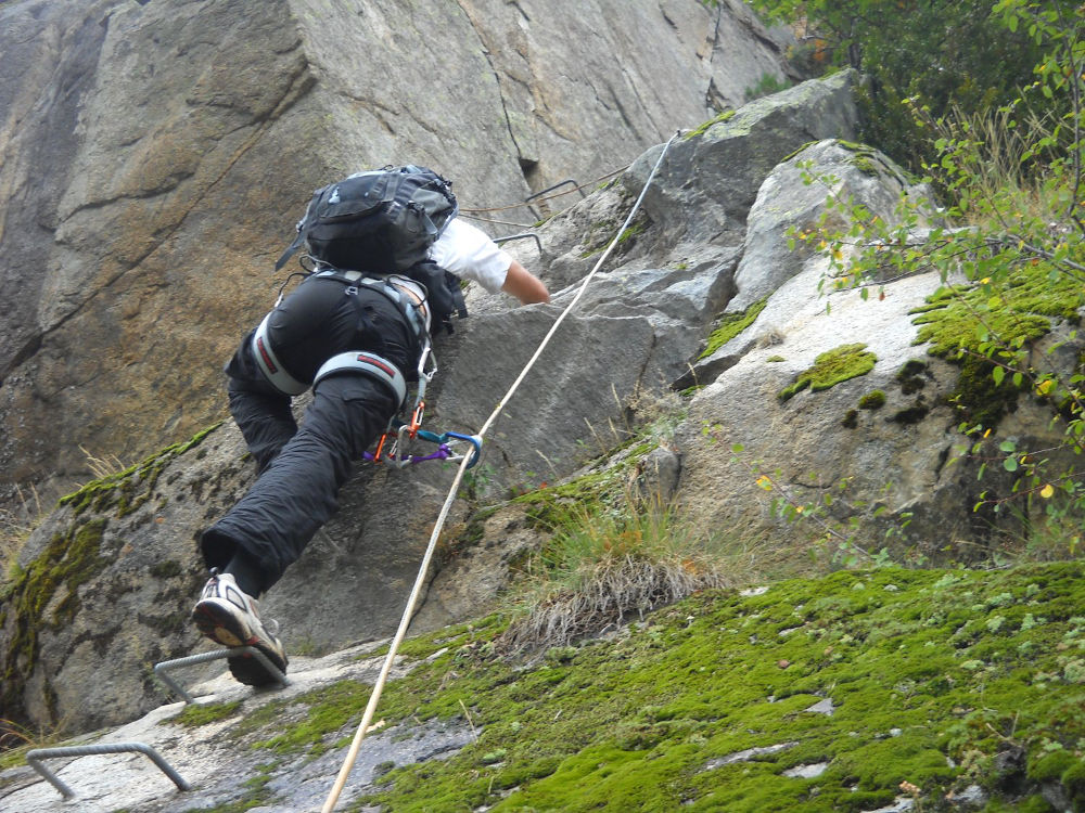
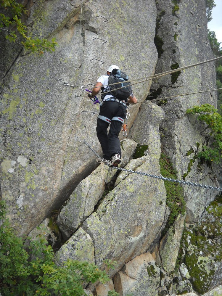
■ Equipment in place: excellent, with numerous rungs and chains
■ Equipment required: standard equipment
Difficulties: K4- or D-, several vertical sections and a few slightly overhanging steps, use of rock for feet in many places.
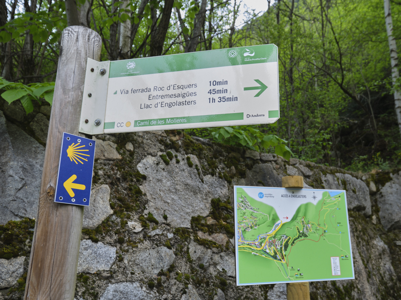
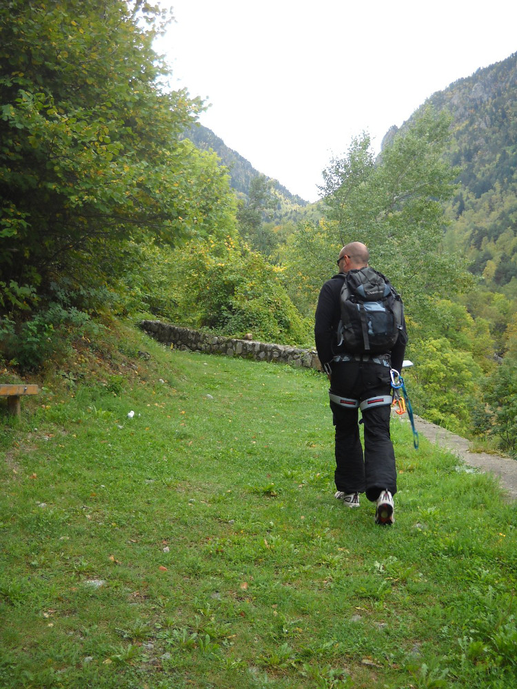
❱❱ Access to the place
At the village of Escaldes-Engordany, just above Andorre-la-Vieille. At one of the traffic circles, turn right (coming from Spain) towards Engolasters and Vall de Madriu. Climb a few hairpin bends in the c/de la Plana to find the parking area reserved for hikers and the via ferrata (€1 per day).
❱❱ Map & topo
The route of the via ferrata in purple is indicative.
Voir en plein écran
❱❱ Itinéraire
Leave the parking lot at the top and climb the road to the left (signposted vers ferrata). The path starts just there on the right from the road towards Cami de les Molleres. The ferrata is also signposted. Climb for 5′ on this path, which goes into the vegetation, then turn left (sign) to quickly follow the yellow dots back to the start.
We now have to reach Coll Jovell (1780 m), and the path up to it, marked with yellow dots, is no easy task. Once at the pass, take the GR path behind the pass and descend to the right. At the first fork in the road, follow the GR11 down cami dels Matxos to the right. Before Ramio, turn right on the GR11 cami de la muntanya to Entremesaïgues. Continue along this GR11 towards c/ de la Plana, where a path literally paved with cobblestones leads to the parking lot.
Topo de la ferrata sur deandar (Spanish)


Leave a Reply