A superb hiking loop in the heart of the Aston valley to discover the magnificent Fontargente ponds, on the border with Andorra. The itinerary is accessible to all, and a bivouac is possible at the ponds to enjoy the panorama and high-mountain atmosphere. This hike is very popular in summer, and ideally should be done in spring if the last snow has fallen, or in autumn for greater peace and quiet.
❱❱ Technical summary
■ Departure point: Pla de Las Peyres parking lot, Aston valley, Haute Ariège (09)
■ Type of route: high-mountain loop hike
■ Distance: 7.8 km
■ Cumulative elevation gain: +460 m
■ Cumulative negative altitude gain: -460 m
■ Estimated total time: 2h30 to 3h30 ■ Min and max altitude: 1700 m / 2155 m
■ Markings: mainly yellow PR, a small section of GR at the ponds
■ Equipment in place: none
■ Equipment required: none
Difficulties: a few steeper sections, crossing small scree on the way down.
❱❱ Access to the place
On the N20 between Tarascon-sur-Ariège and Ax-les-Thermes, enter the village of Les Cabannes and turn south onto the D520A towards Château Verdun and Aston. Cross the 2 villages and continue towards the Rulhe refuge. The little road is very long, over 20 kms, skirting the étang de Riète and further up the étang du Laparan (dam). Continue a little further to reach almost the end of the valley and park at the final Pla de Las Peyres parking lot (1700m).
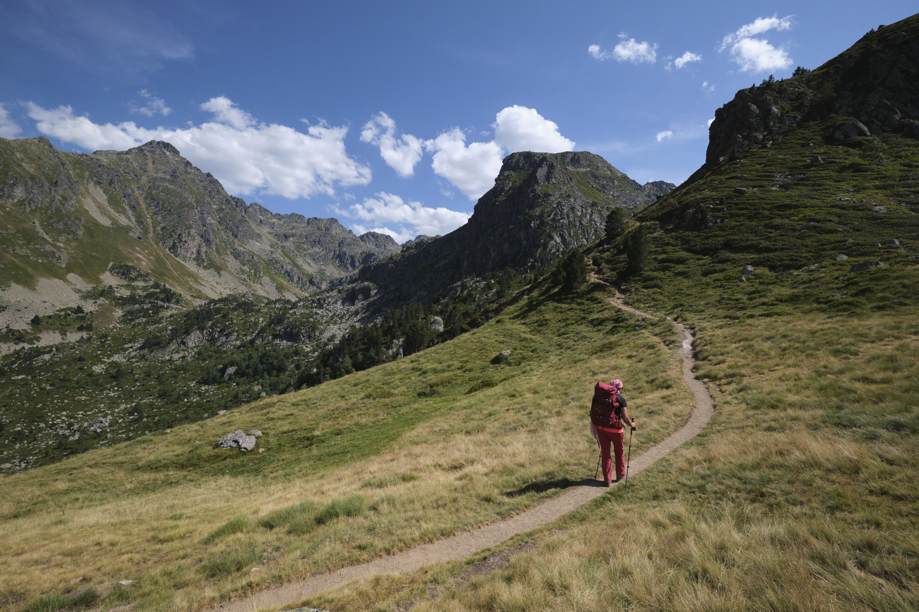
1st part: from Pla des Peyres to the Fontargente ponds via the Jasse de Pinet (1h15 to 1h45)
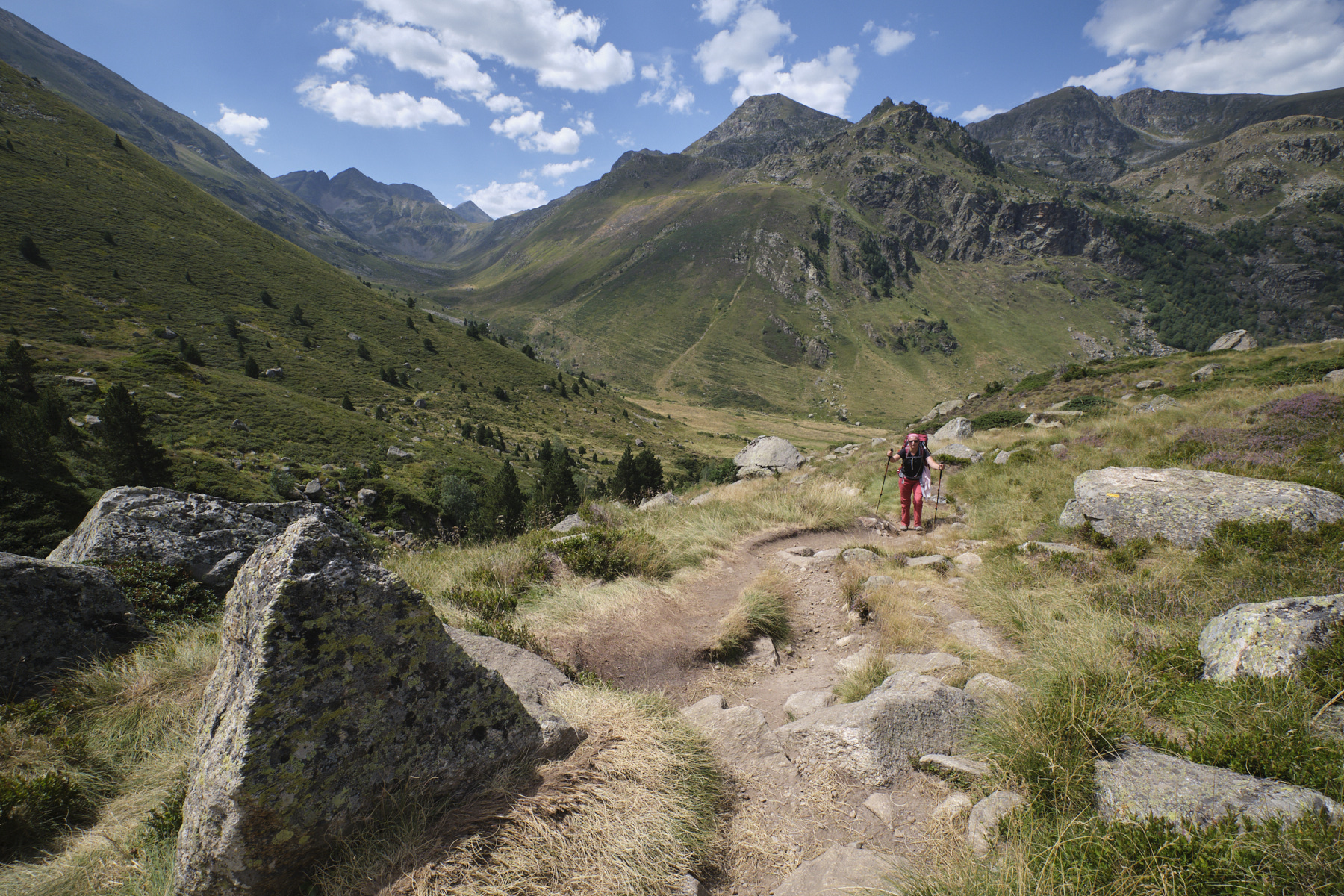
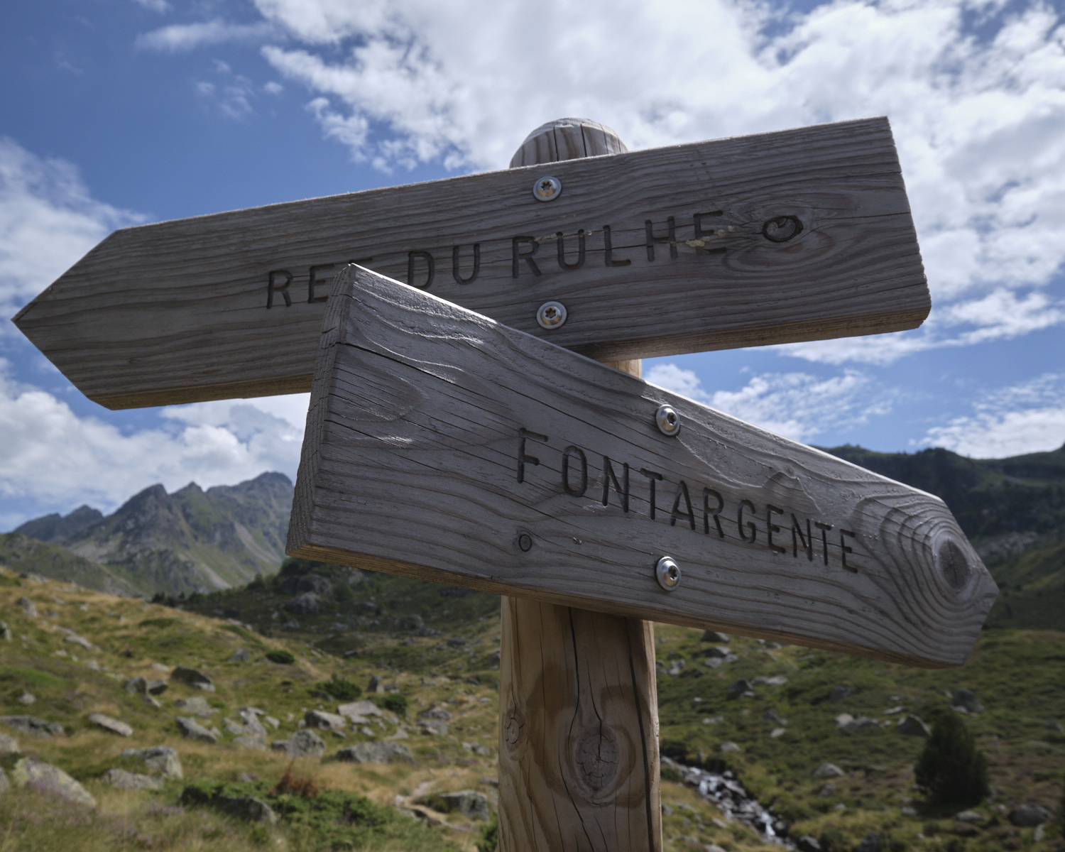
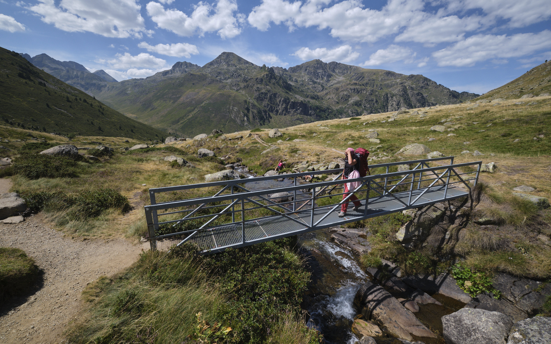
Leave the parking lot on the path towards the Rulhe refuge, without crossing the torrent. You walk through the jasse and then begin a fairly steep ascent, sloping to the southeast. Once on the flat area above, you can clearly see the refuge perched to the east and the Rulhe peak towering above it. At the fork before the Cabane de Garsan, leave the path leading up to the refuge on your left and continue straight on towards Fontargente. Follow the Aston stream until you find a small footbridge over it. On the other side, turn right (on the left, the path leads to the Estagnol and Joclar ponds).
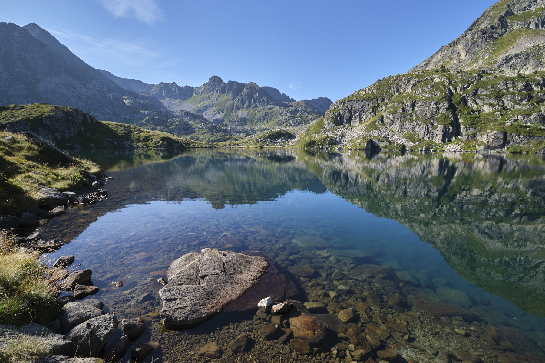
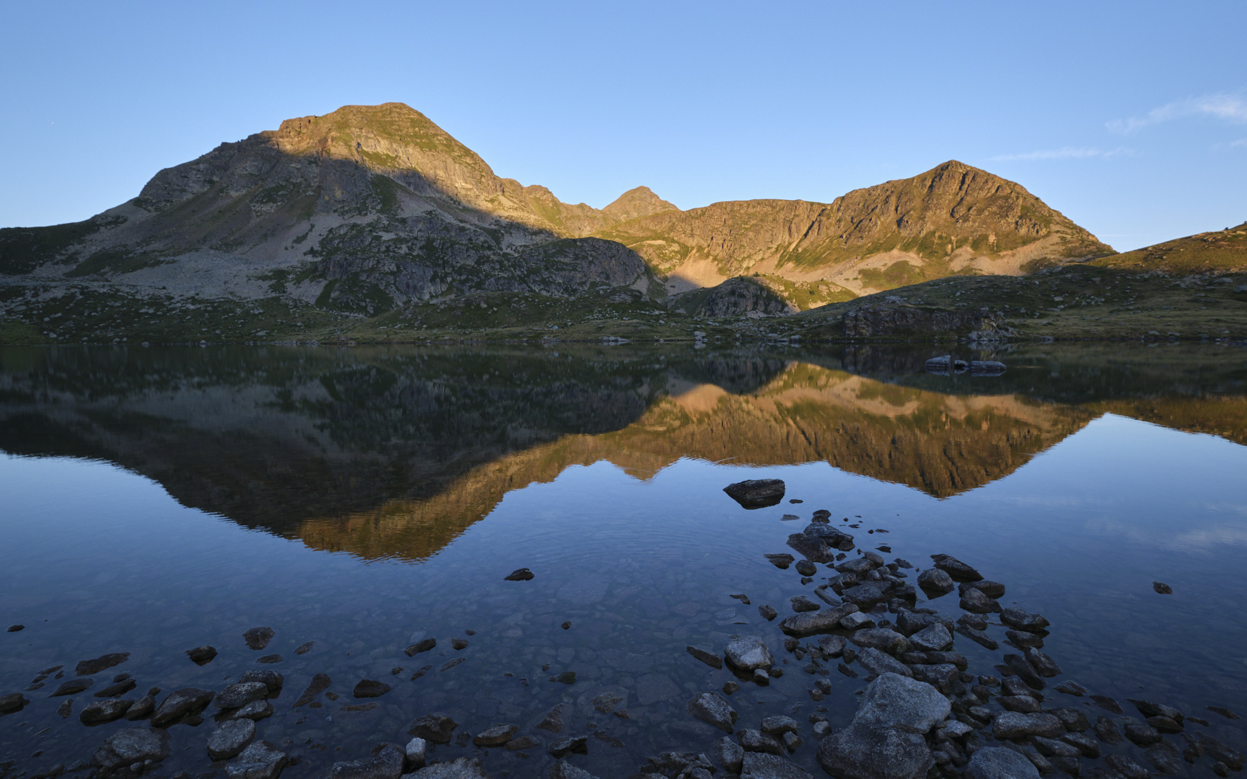
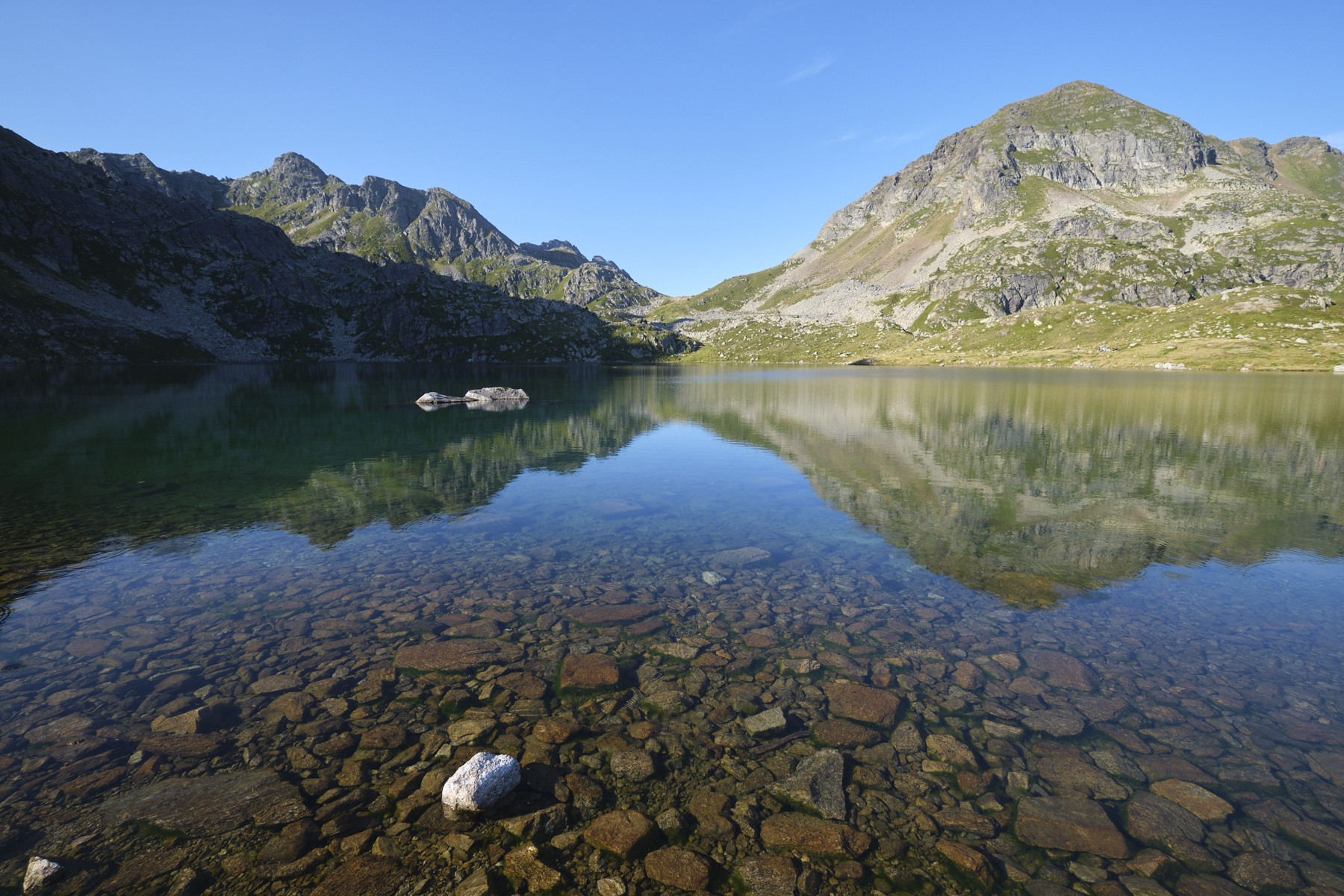
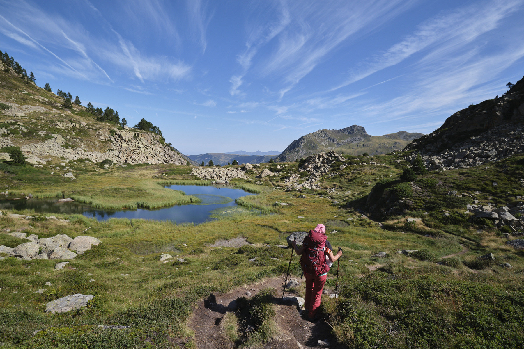
The path heads south-west to a ridge that forms a wide ramp to climb up under the Malpas bars. Higher up, after a fairly steep climb, the path continues to follow the ridge on the northern shoulder of Malpas. You then have to climb a little further to skirt around the Malpas to the east and soon reach the first and largest Fontargente pond. We're at 2155m altitude. In the background, you can clearly see the Port d'Inclès, the gateway to Andorra.
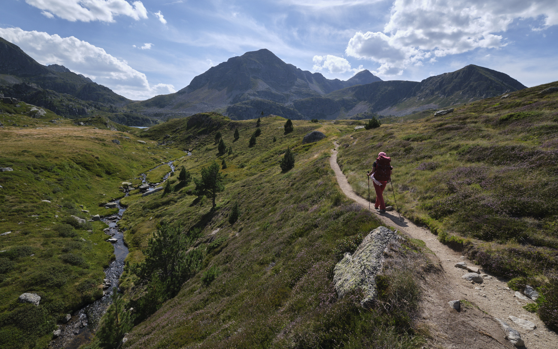
2nd part: the Fontargente ponds and return via the Coume de Varilhes (1h15 to 1h45)
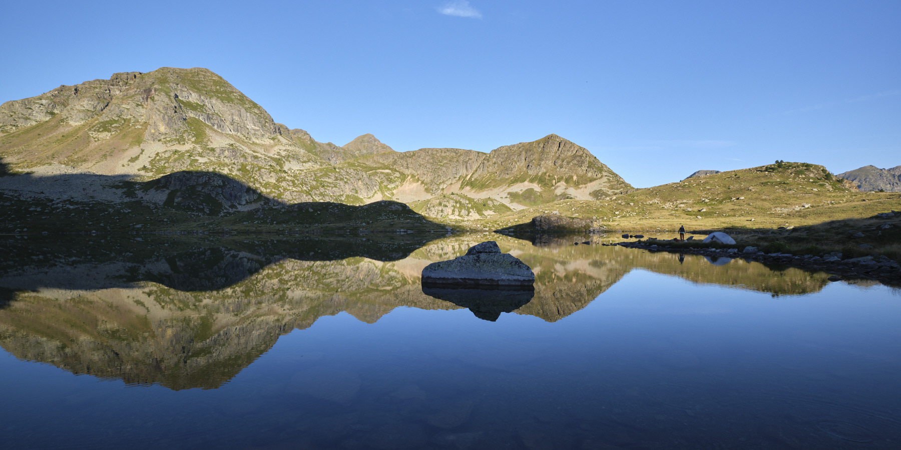
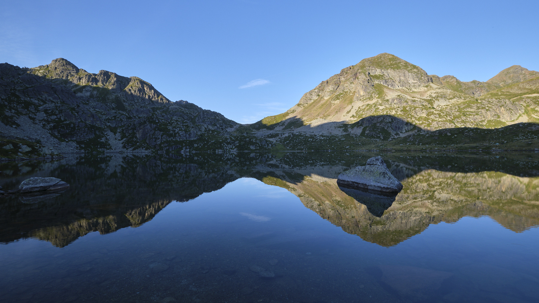
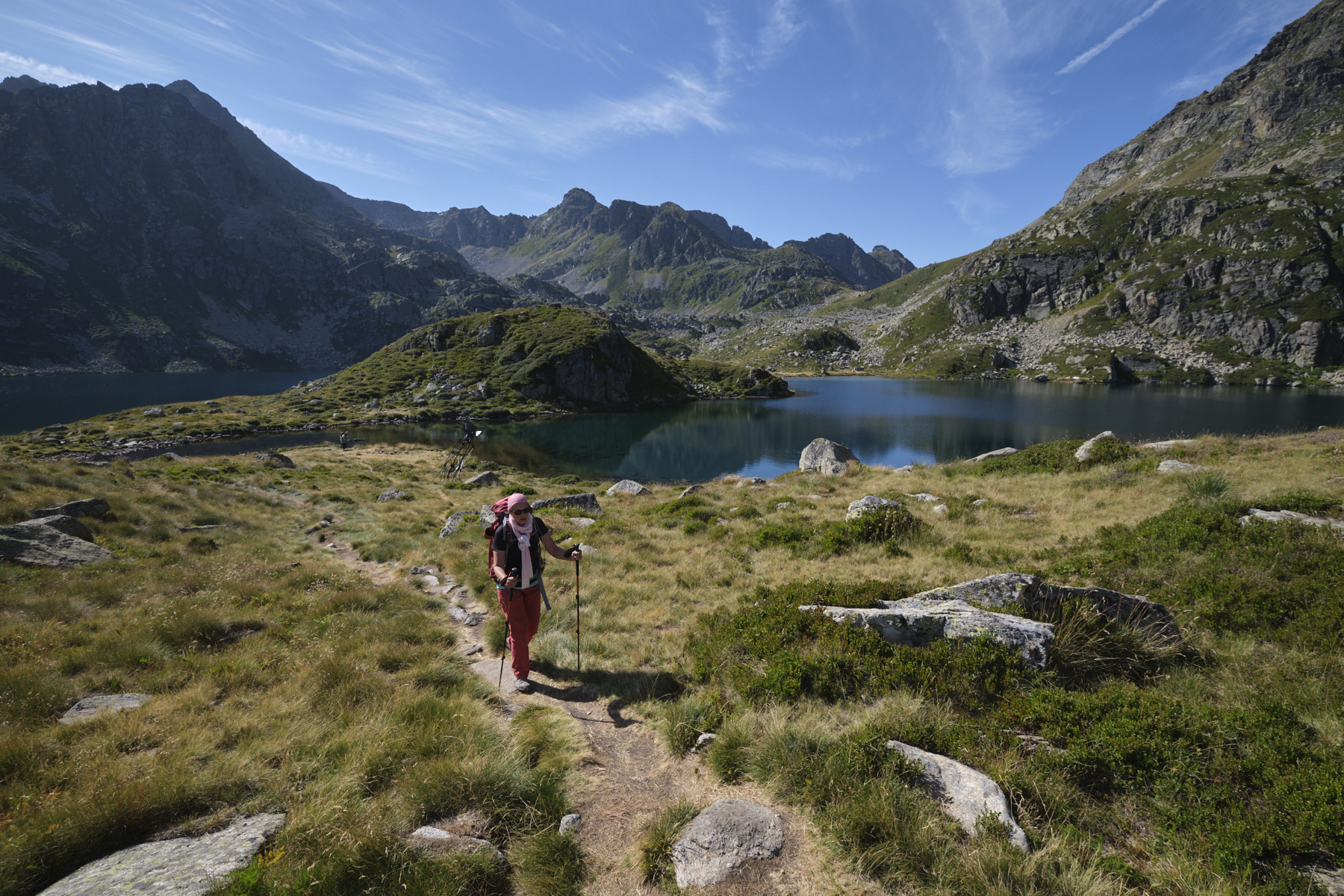
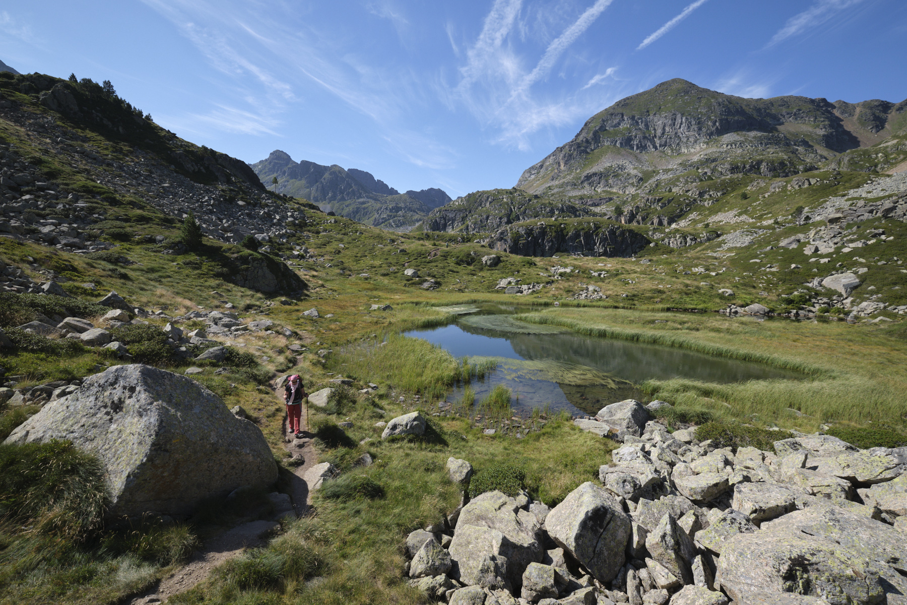
Follow the small part of the GR trail along the 1st pond, leaving it fairly quickly to climb to the level of the second pond, which is more incised and smaller, but just as beautiful (see photo on front page). Follow the yellow-marked path, which gradually bends to the north, passes a small knoll and then descends behind it to the level of the 3rd, even smaller pond. Further down, the 4th pond emerges more discreetly from the marshy grasses.
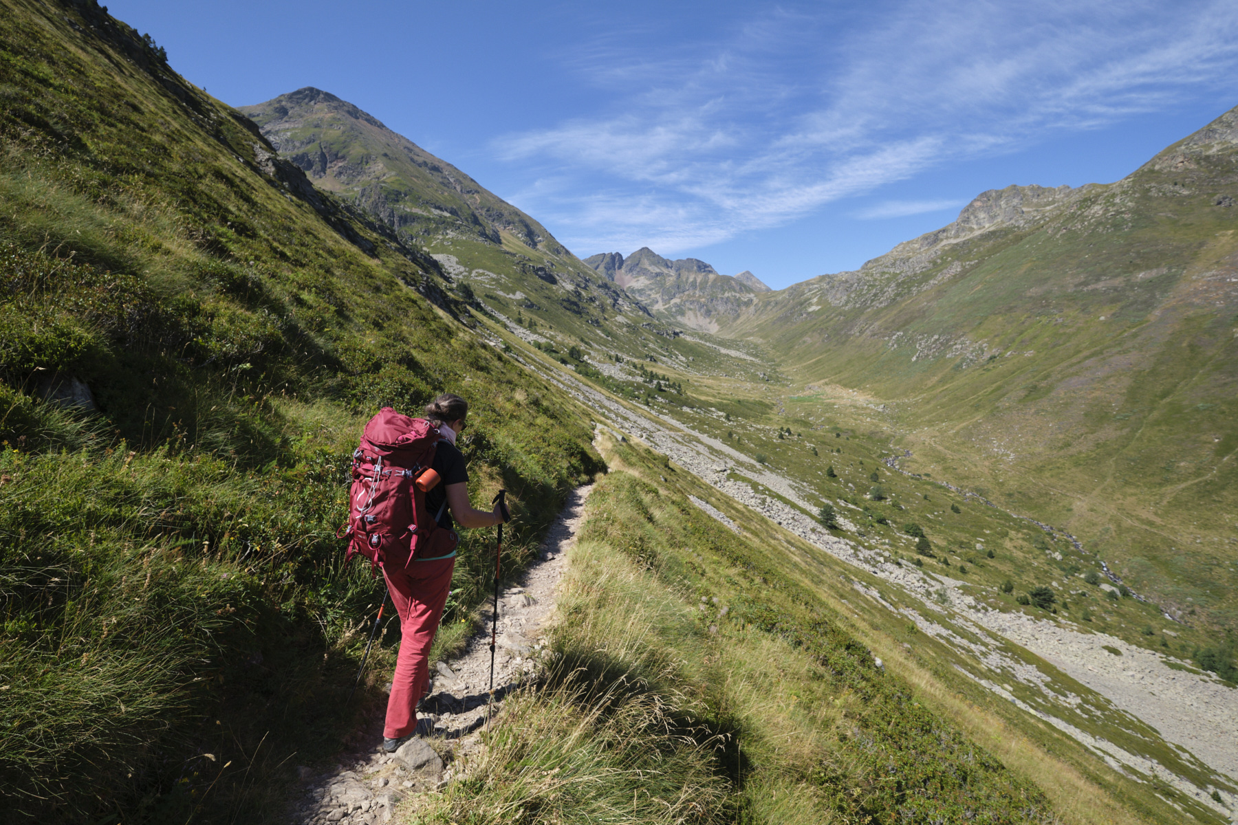
After the last pond, the path crosses a small pass and swings to the north. We then descend, crossing and re-crossing a scree slope in a steep scree corridor. The path lands below in a small grassy basin. Follow the path as it veers further and further west to begin a long traverse along the flank, overlooking the Pinet jasse and with a glimpse of the parking lot from which we started.
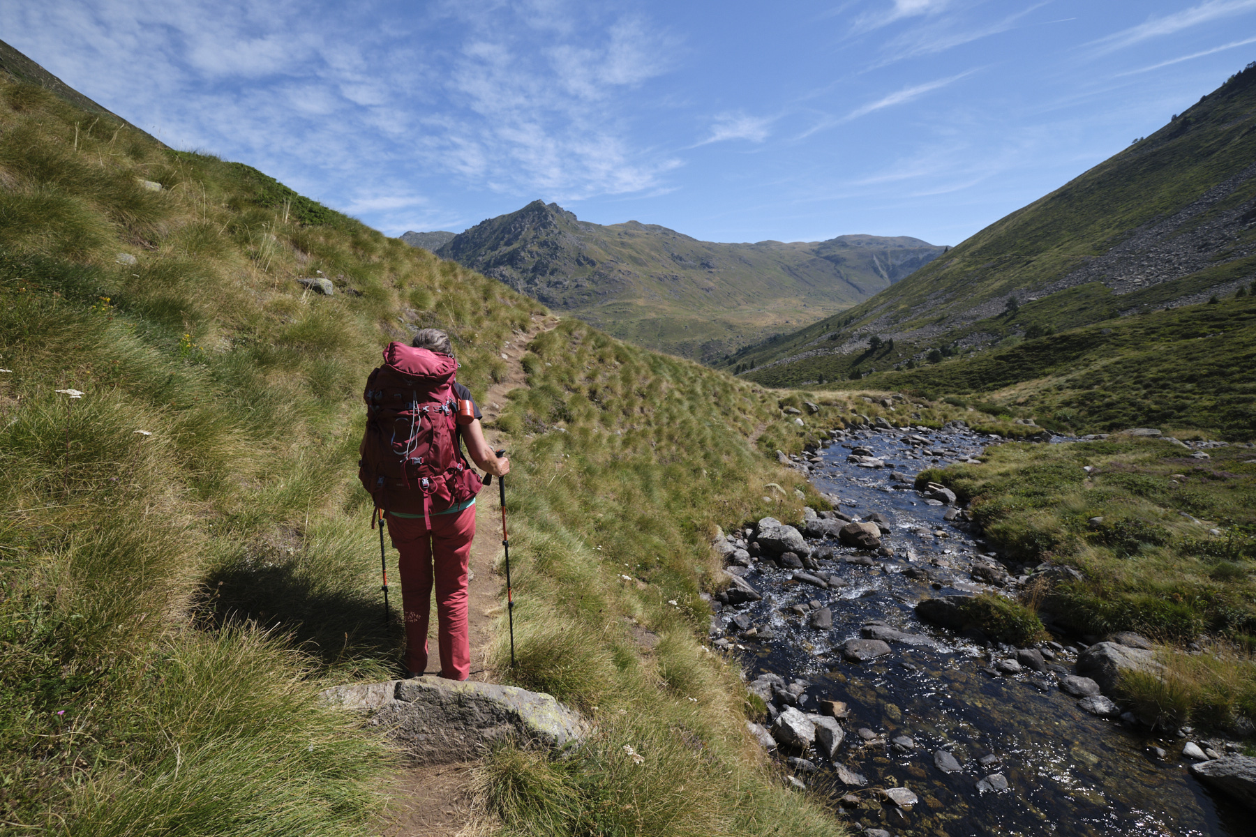
At the end of this traverse, the path finally reaches the Coume de Varilhes. Crossing the stream, the path joins up with the path leading up the Coume de Varilhes from the parking lot. Turn right downhill to return to the Pla de Las Peyres parking lot on the left bank of the Aston stream. Take the footbridge to cross the stream at the parking lot.


 Partager sur WhatsApp
 Partager sur Twitter
Partager sur Instagram
Partager sur Twitter
Partager sur Instagram

 Partager sur Facebook
 Imprimer le topo
 Laisser un commentaire


Leave a Reply