×
Randonnées Escalade Alpinisme Via ferrata Canyoning Ski de rando Raquettes
×

Search Close search

TOPO

Crêtes du Col de Joux au Cap de Carbone from Petches

Publié le |

0 Comments

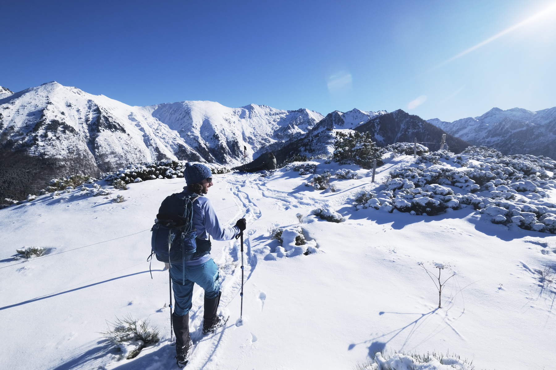
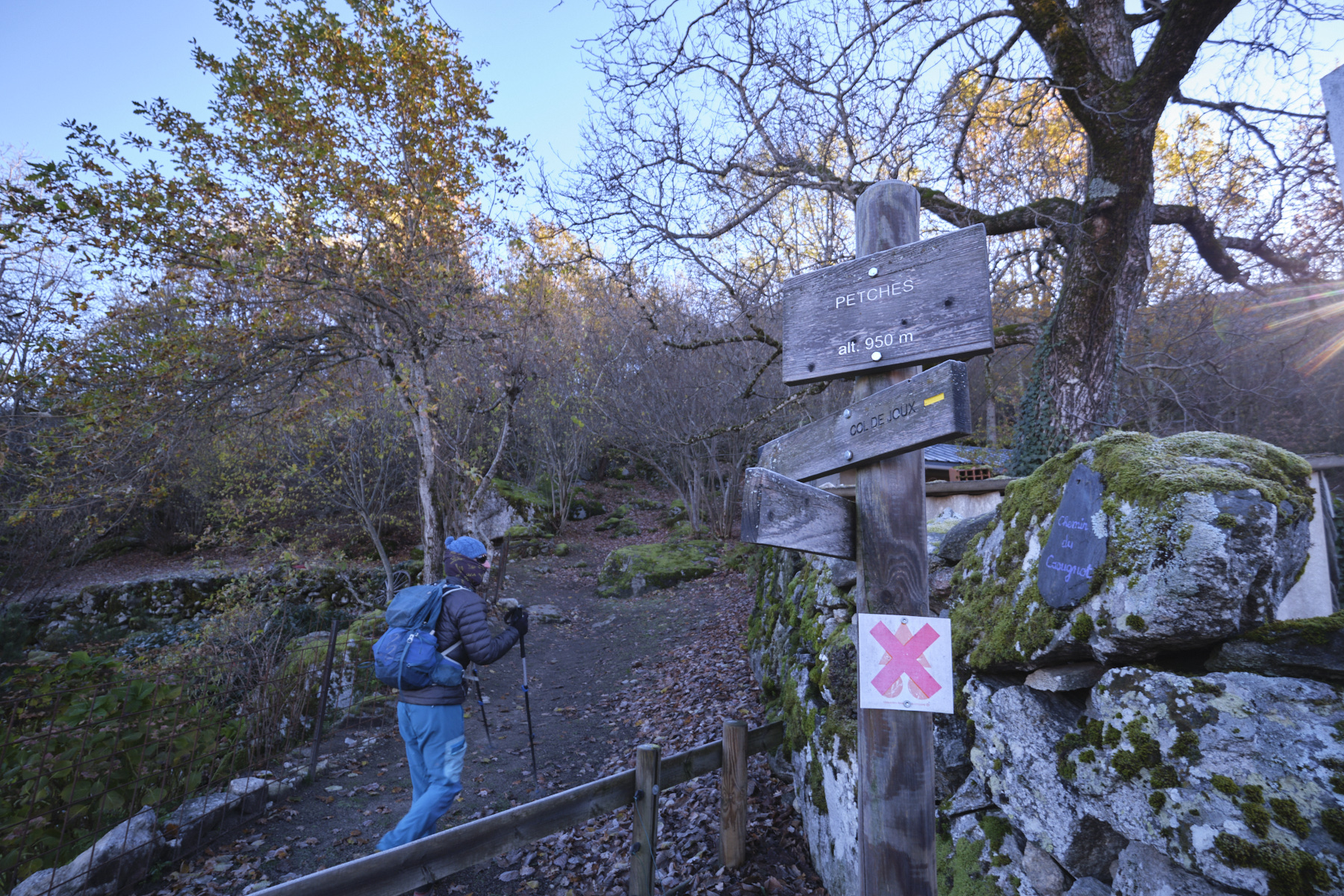
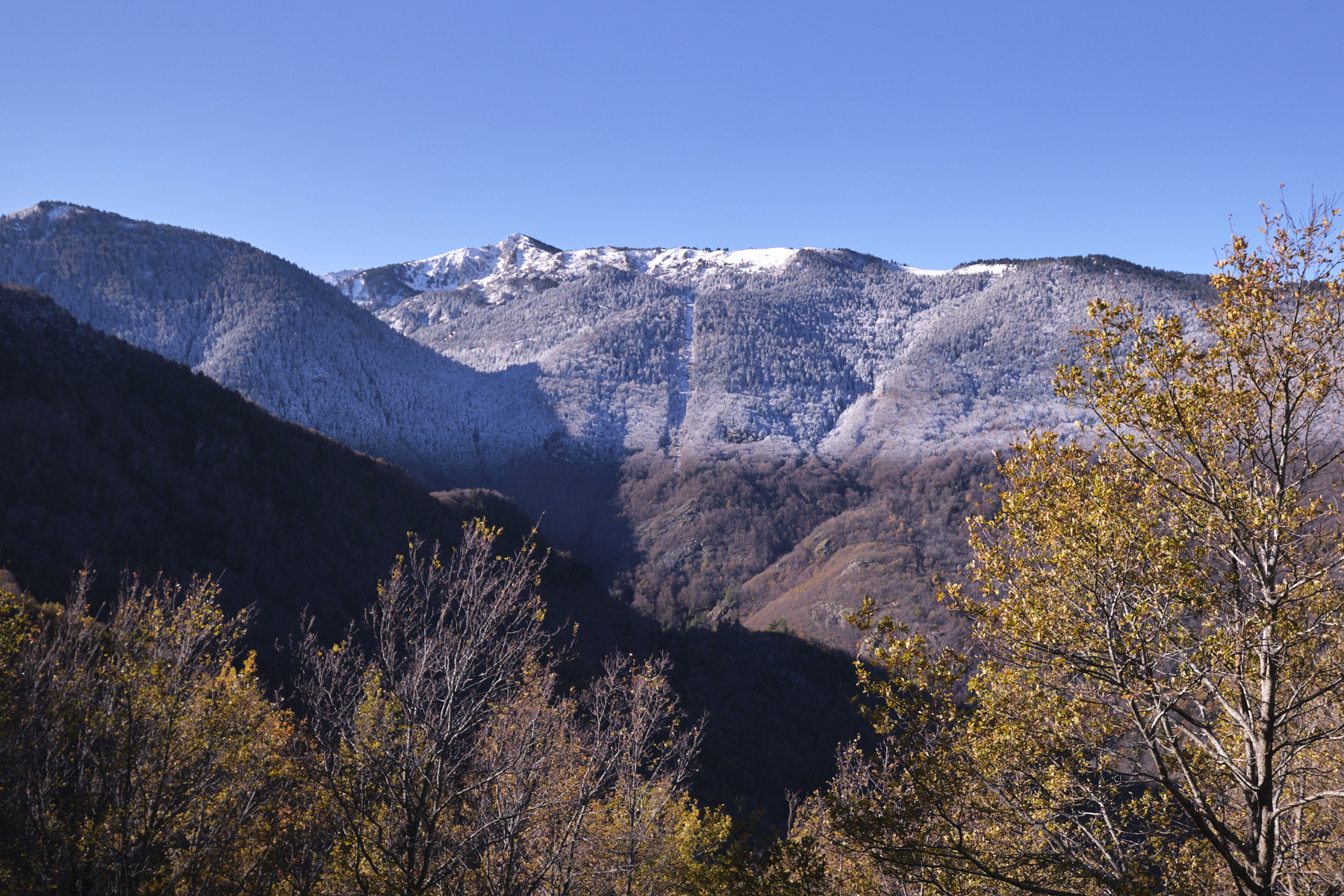
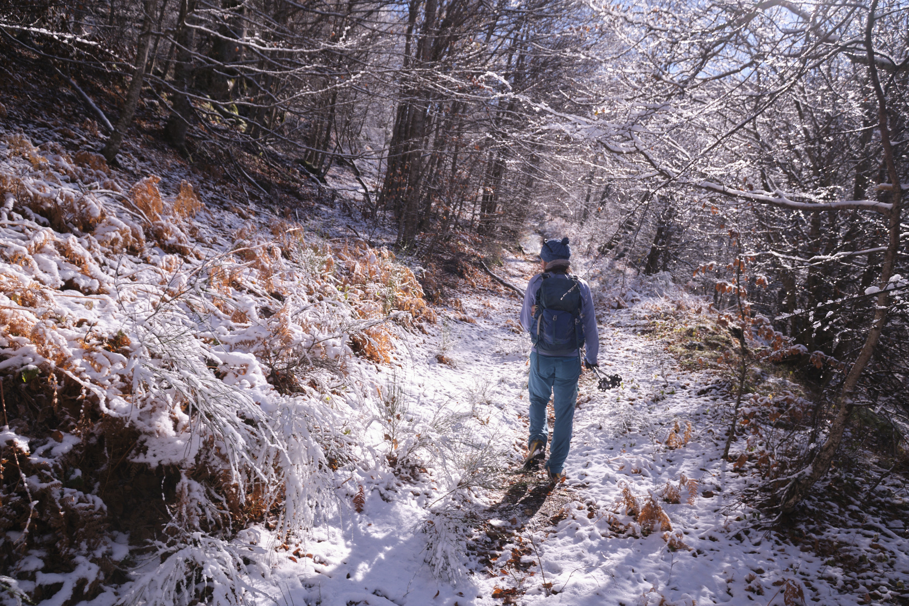
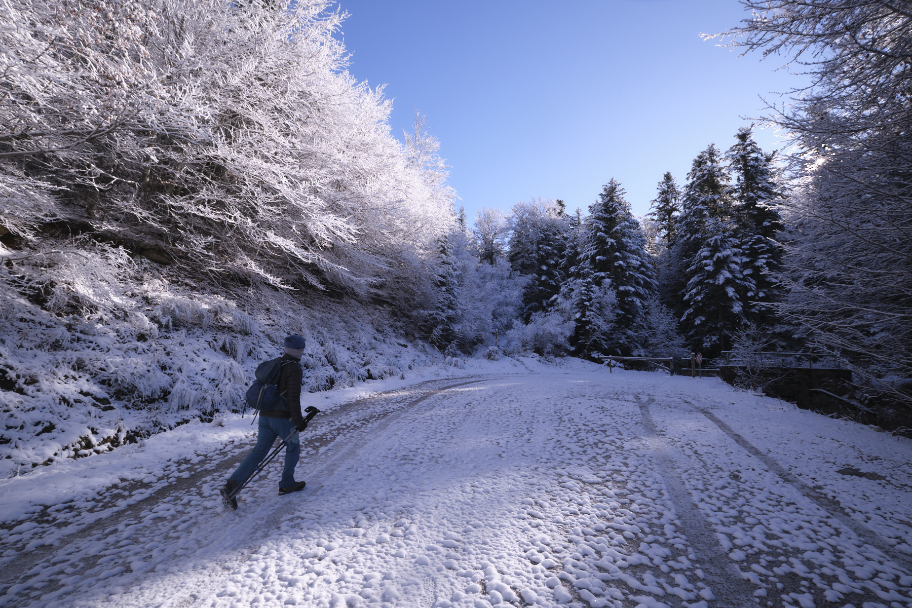
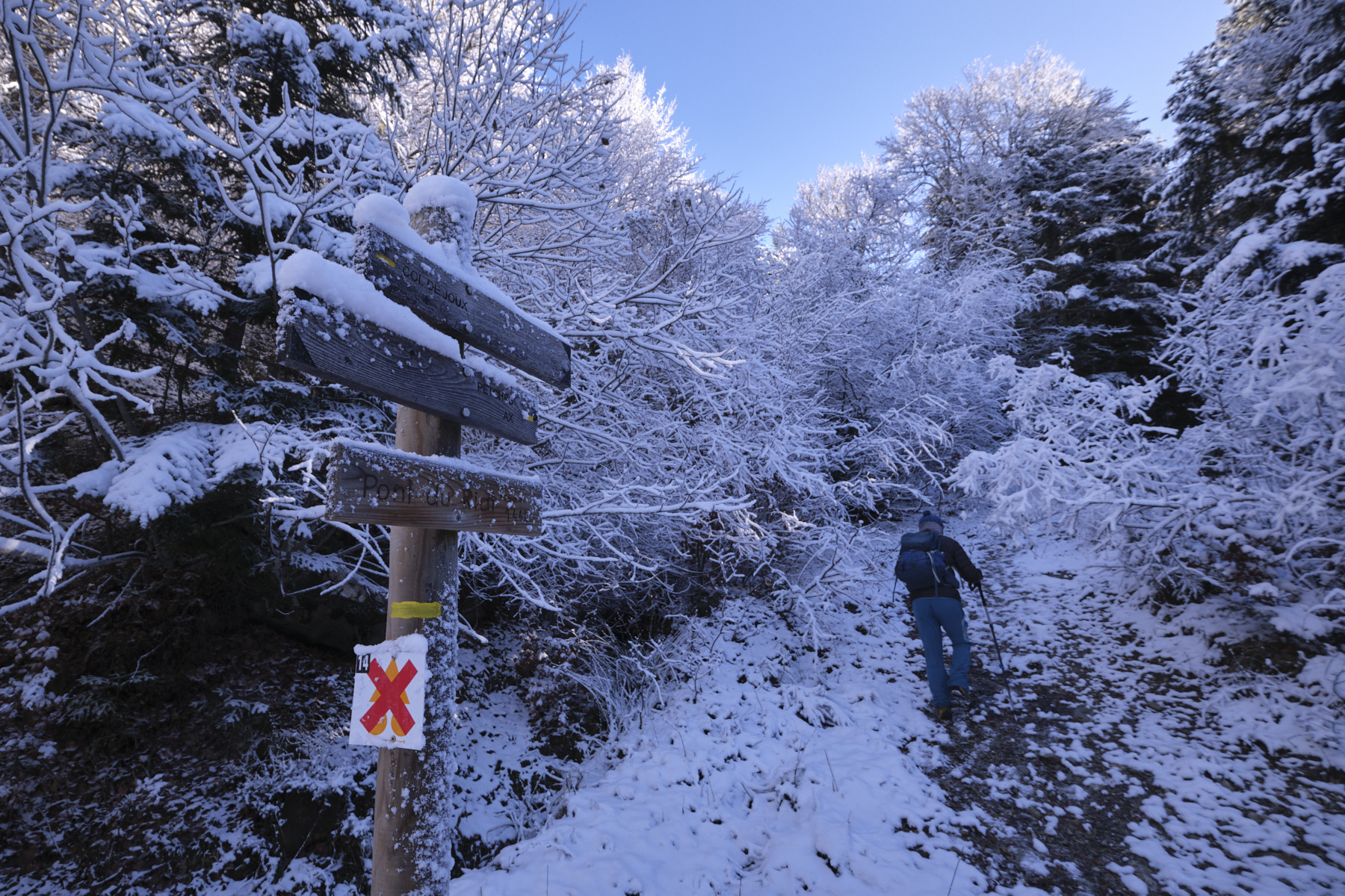
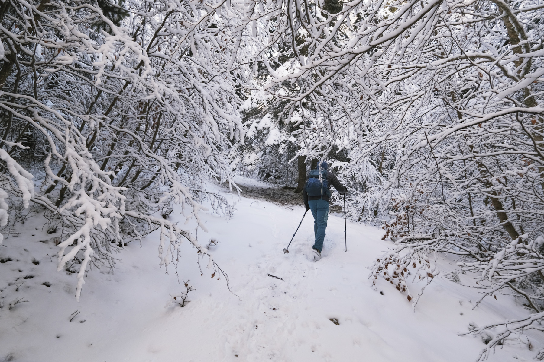
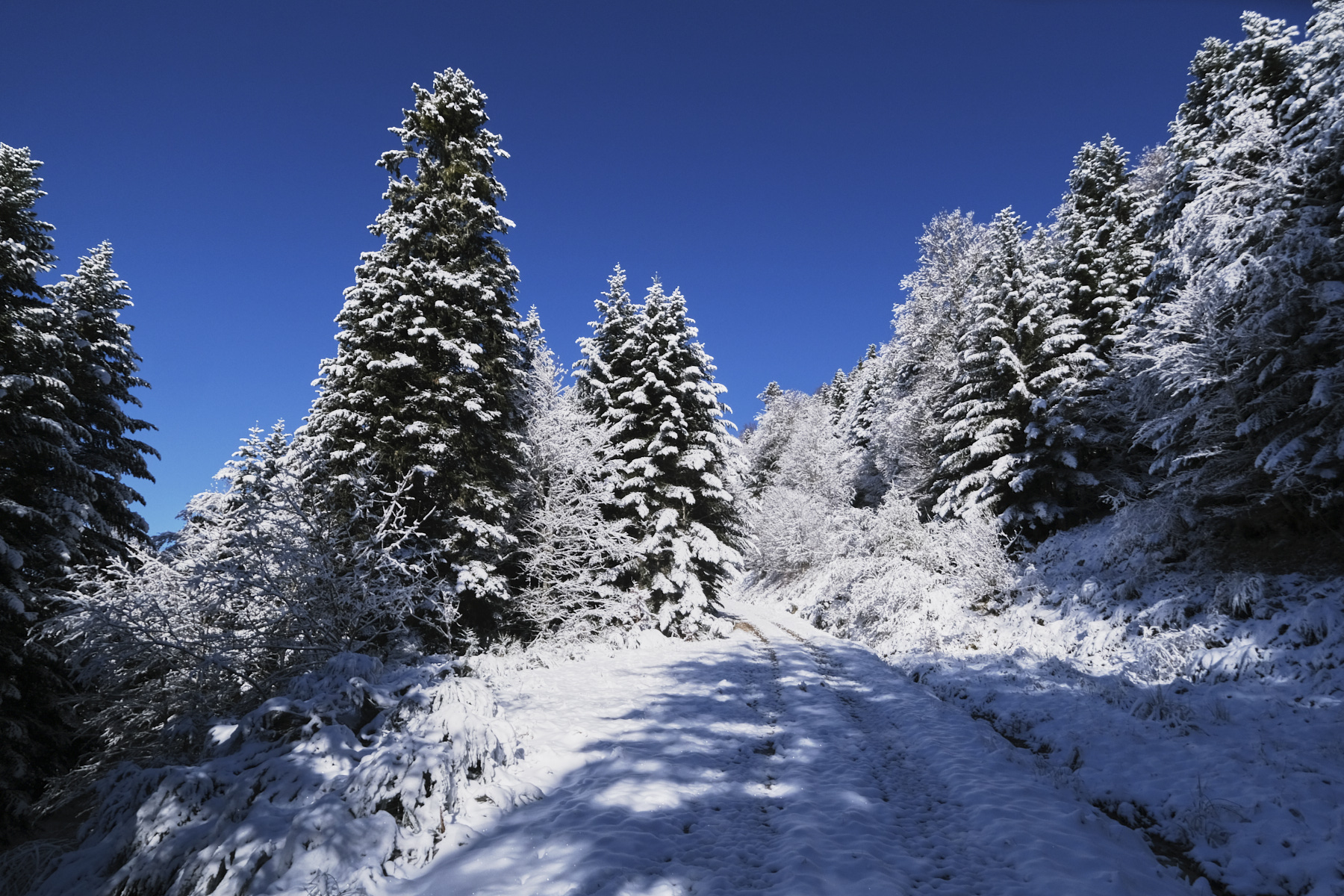
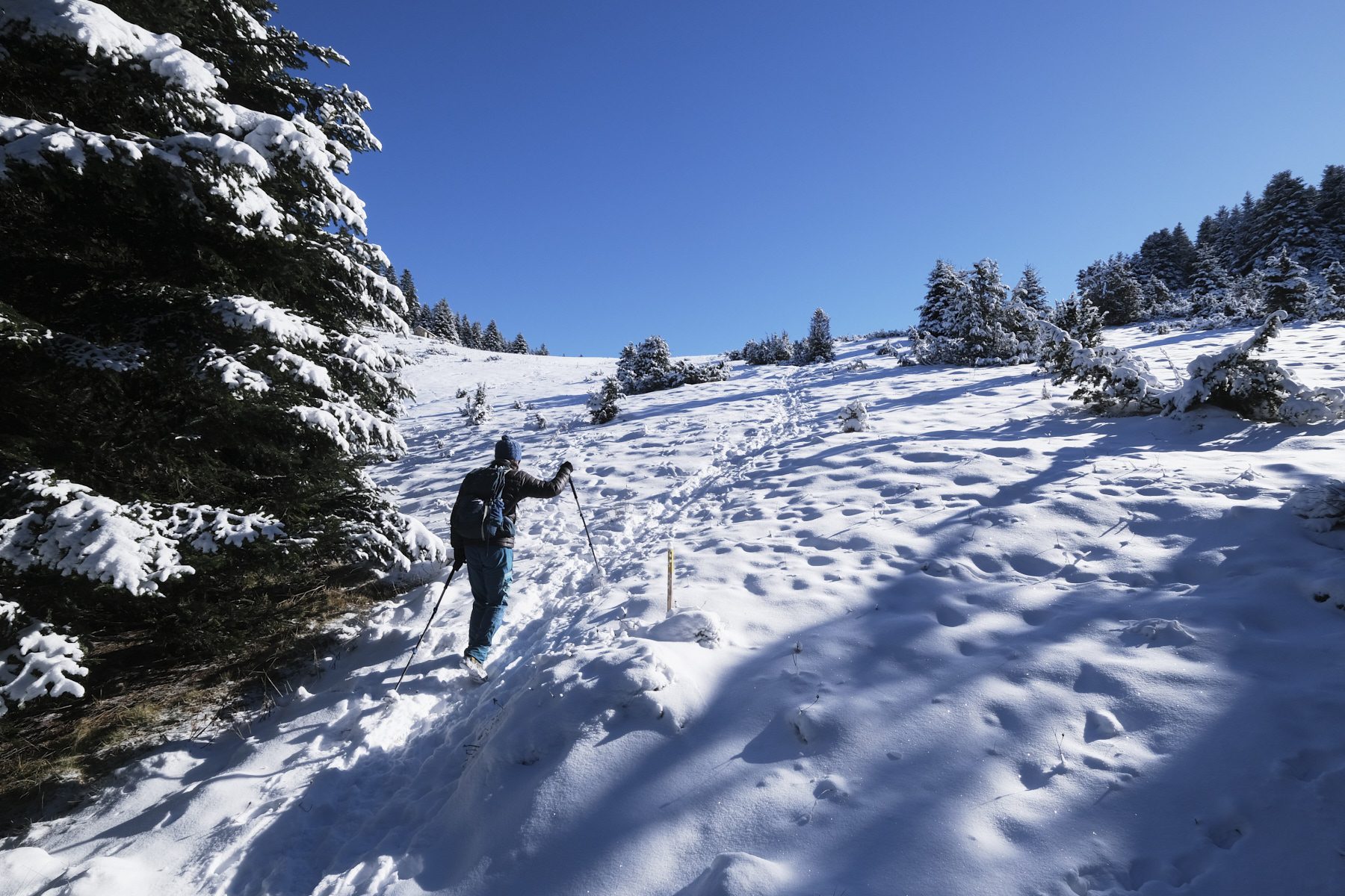
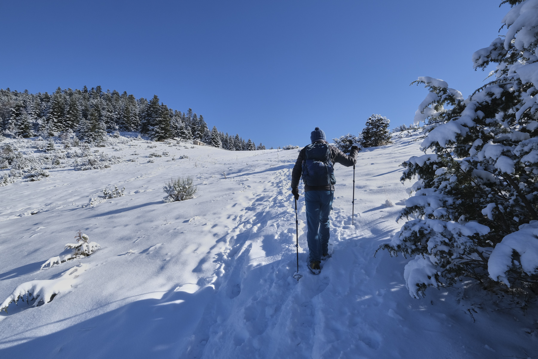
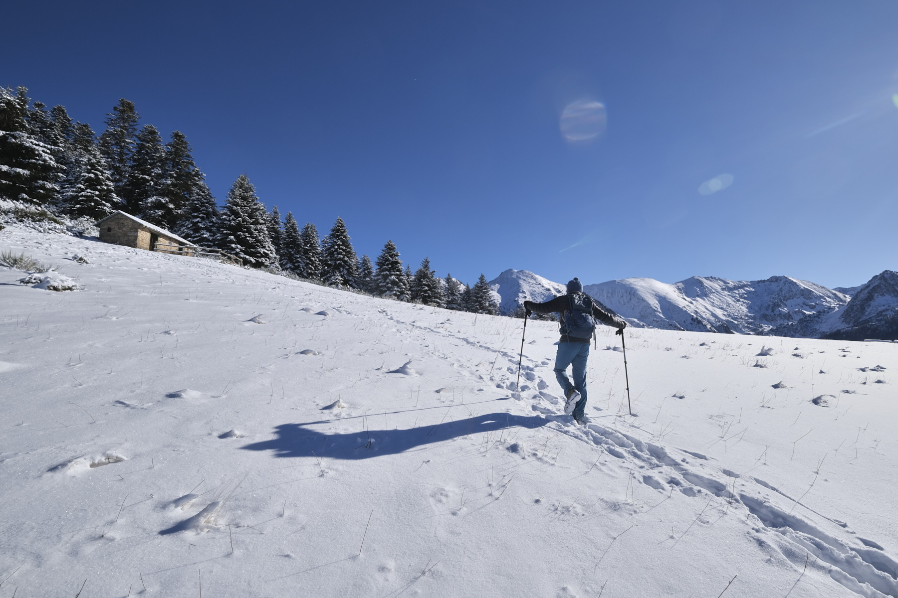
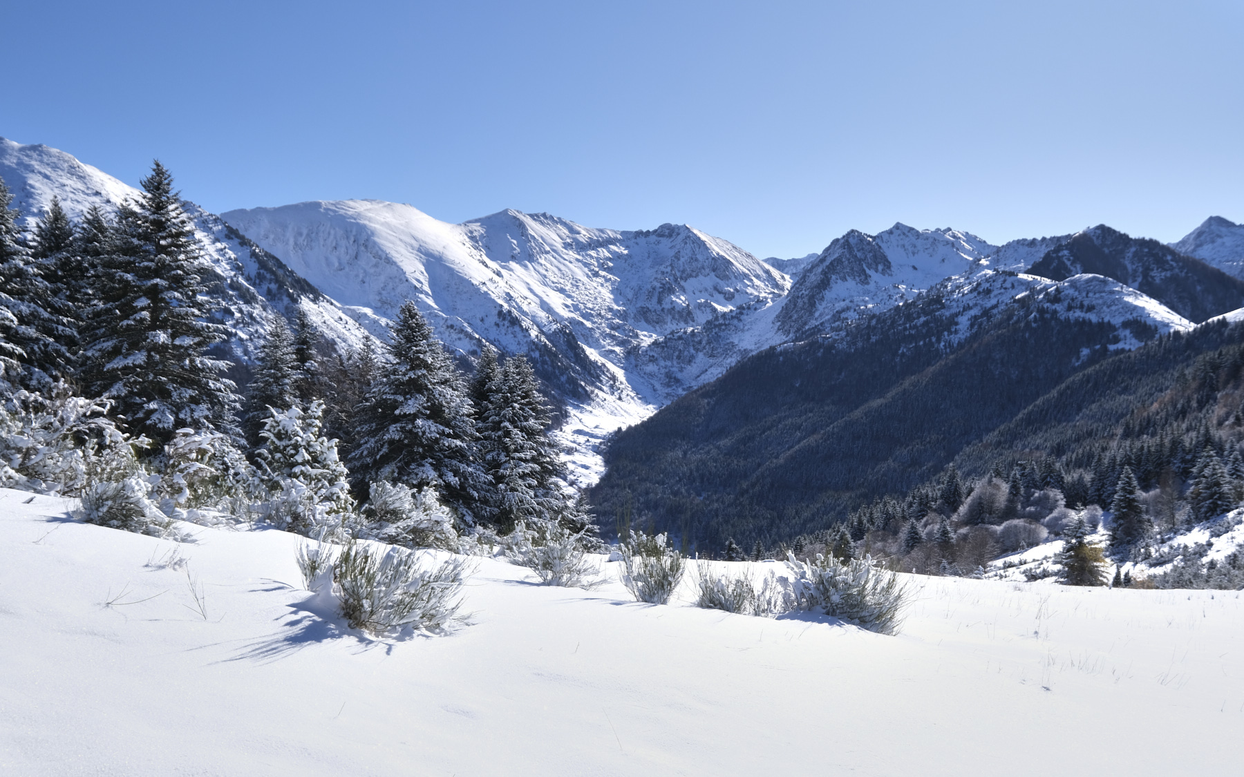
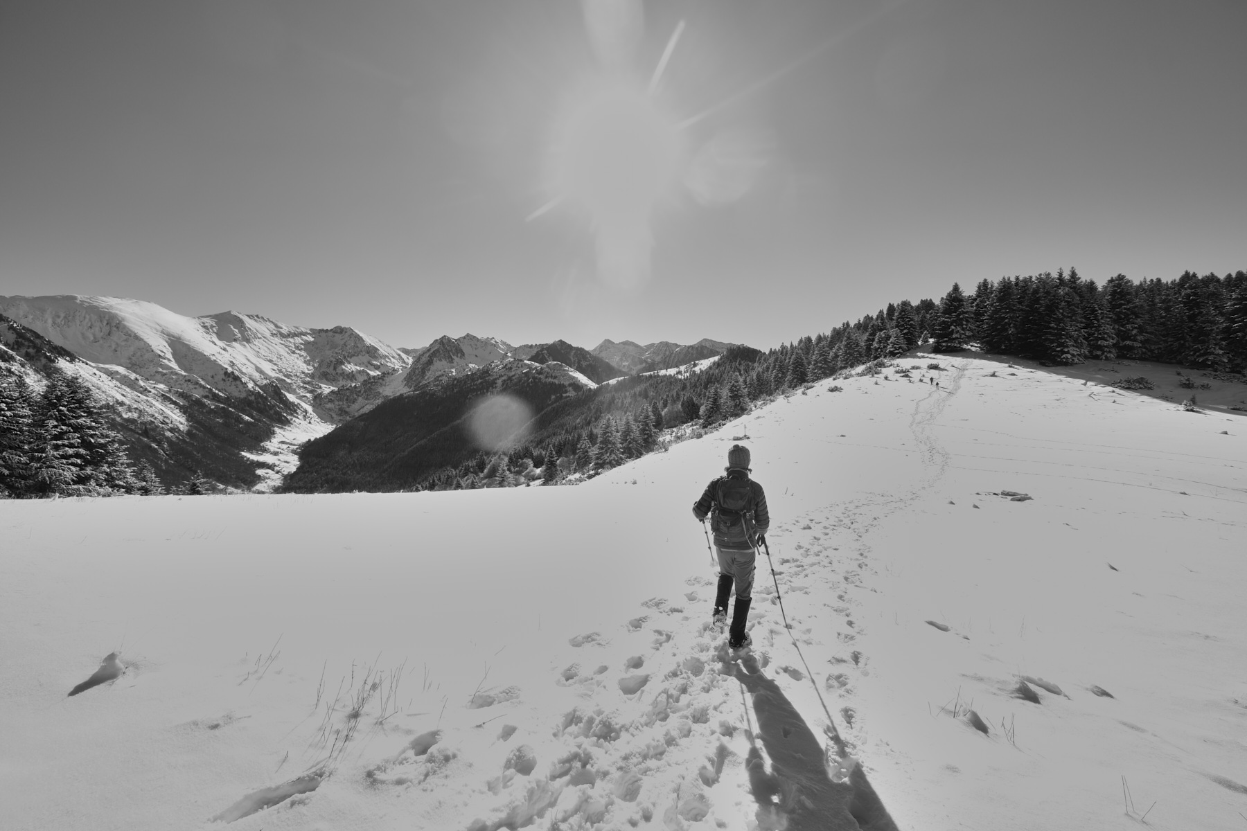
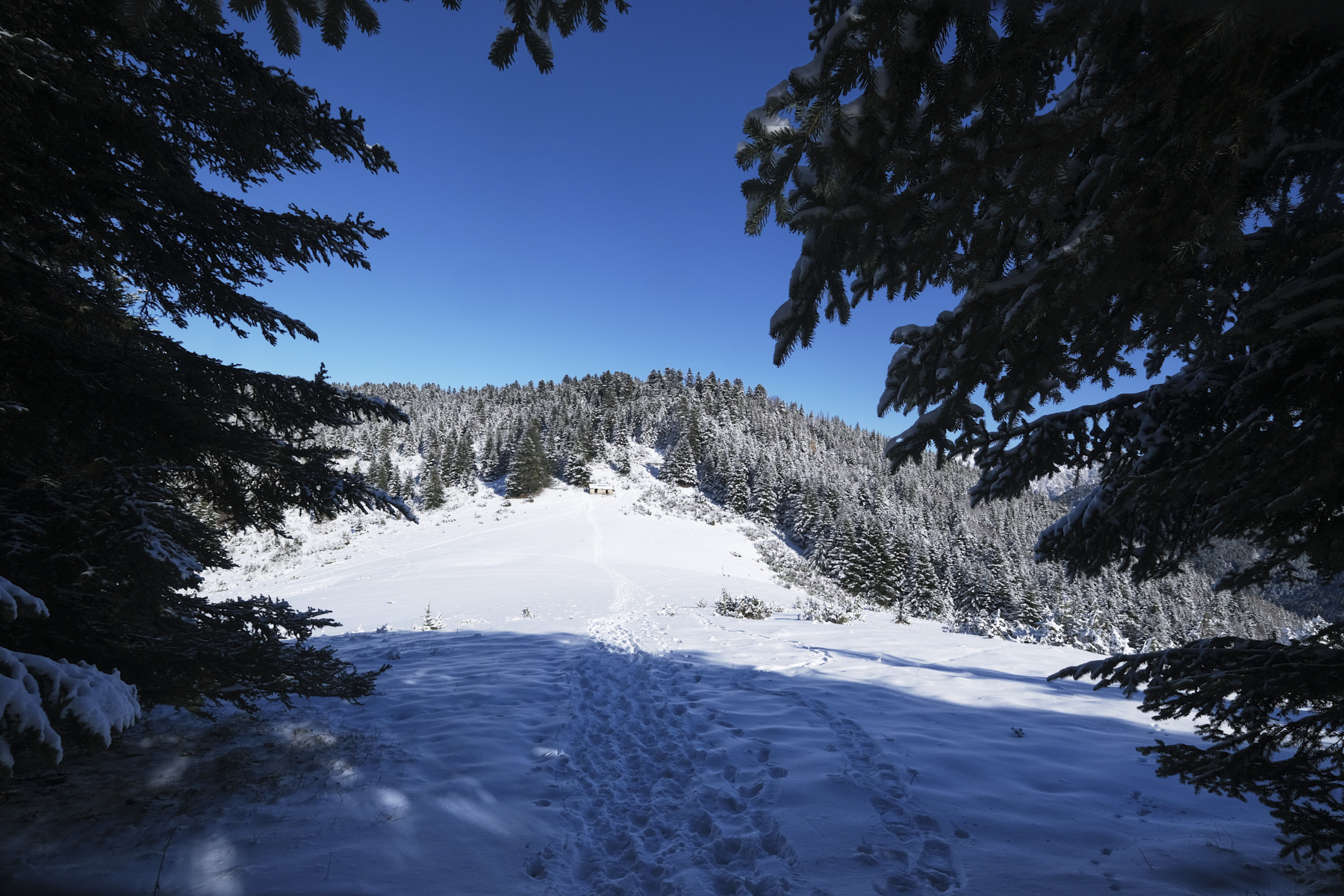
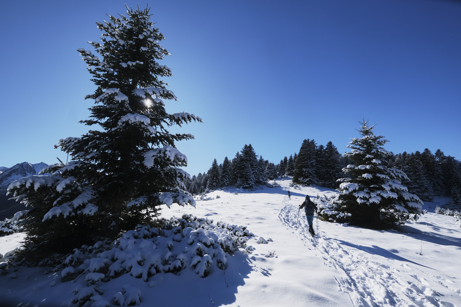
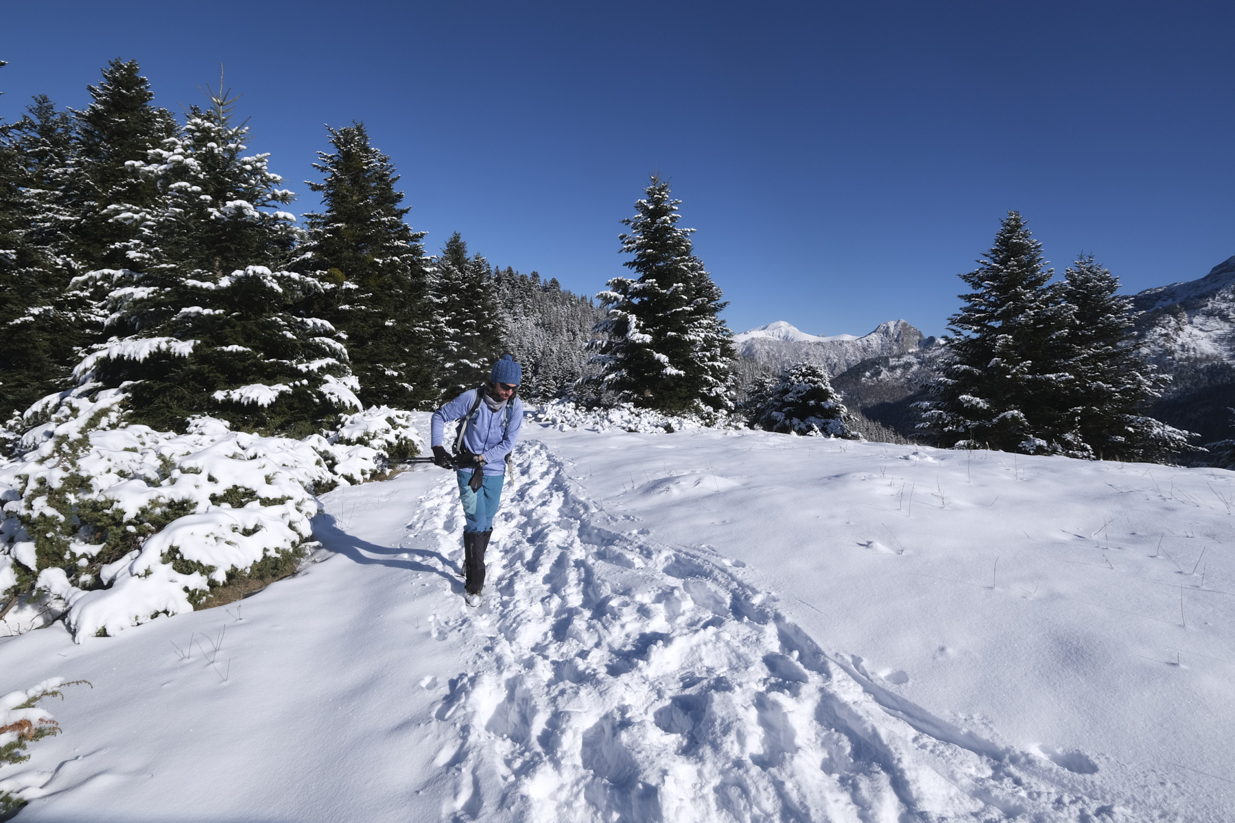
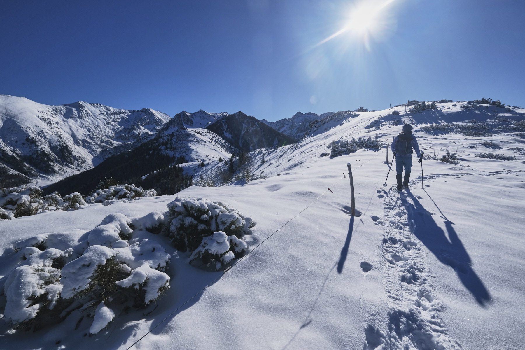
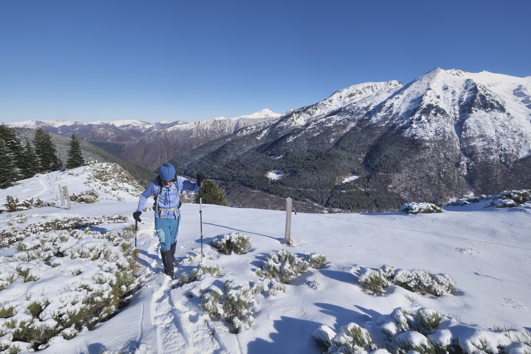
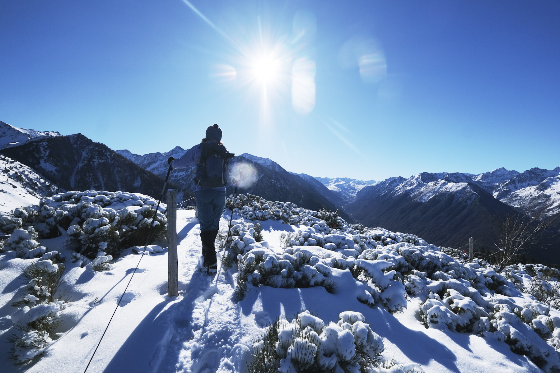
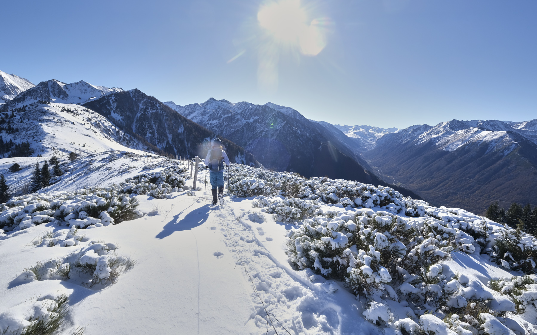
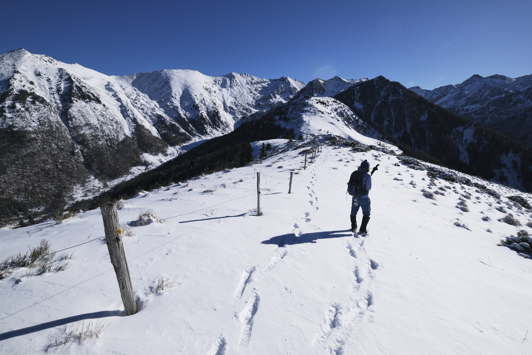
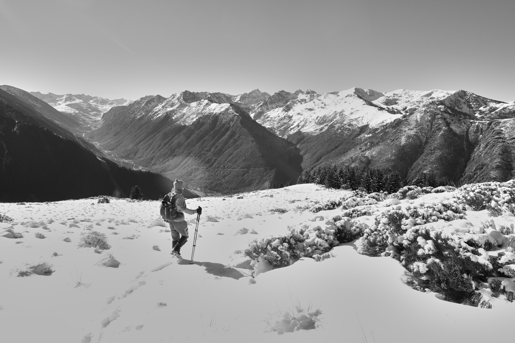
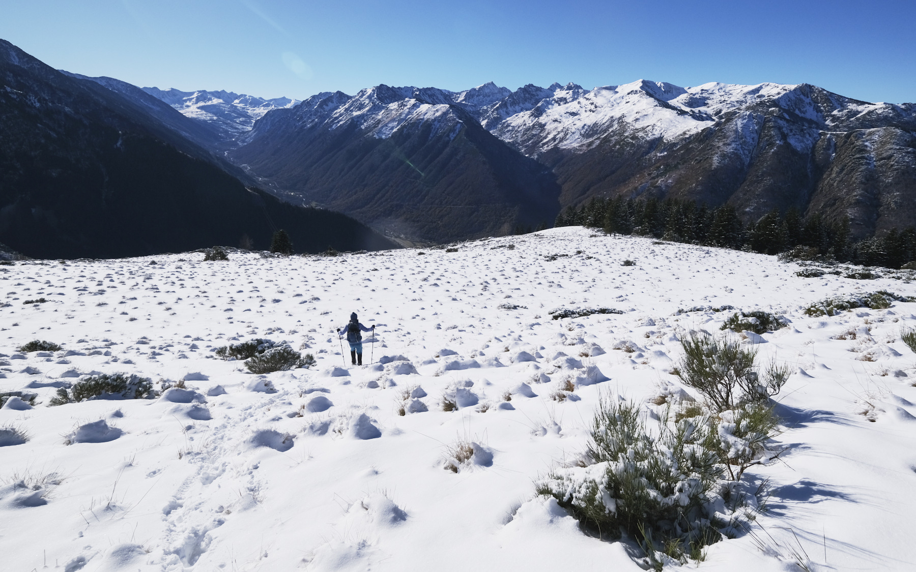
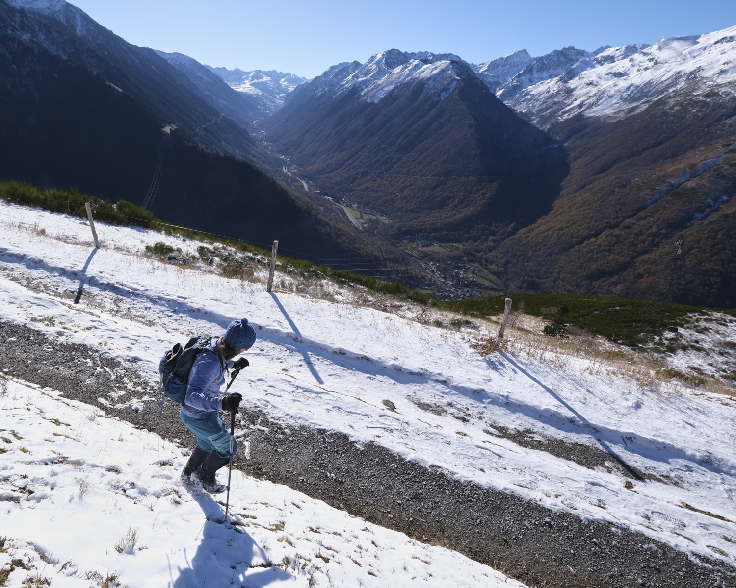
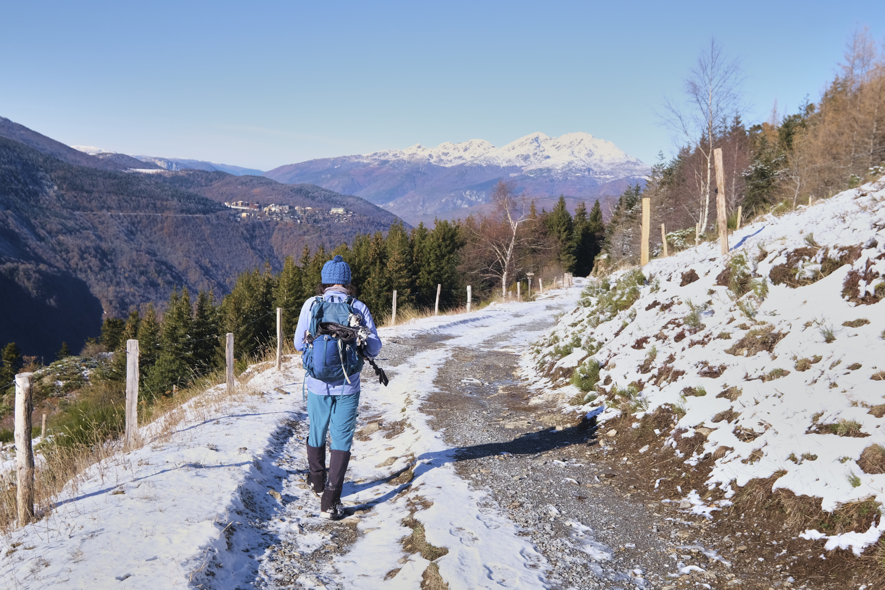
From Petches, the path climbs up through the forest to reach the Col de Joux and its hut, between the valley of the Orgeix stream and the upper Ariège valley. From here, the route follows the broad ridge that runs southwards to pass the Cap du Camp and then the Cap de Carbone. The loop ends by returning via the Col de Surle and the Llata forest track. A fine snowshoe outing, with no major difficulties apart from the distance and altitude difference required to make progress on snow-covered terrain.

Sur le Cap de Carbone

Technical summary

Departure point: Petches, Ariège (09)
Type of route: mid-mountain snowshoe hike
Distance: 14 km
Cumulative elevation gain: +900 m
Cumulative negative altitude gain: -900 m
Estimated total time: 4h to 5h
■ Min and max altitude: 950 m / 1857 m
■ S igns: yellow PR, red and white GR, unmarked trail, obvious off-trail section up to Cap de Carbone and down to Col de Surle
Equipment in place: none
Equipment required: useful GPS track, snowshoes, poles

Difficulties: in addition to the distance and the fairly substantial altitude difference for a snowshoe outing, there are a few steep sections in the forest.

Access to the place

At the southern exit from Ax-les-Thermes, head for Orgeix and Orlu. Very quickly, turn right over the narrow bridge spanning the Oriège to climb the few hairpin bends leading to the hamlet of Petches. Park in the 1st parking lot on the left.

Itinerary description

Course

Part 1: from Petches to Col de Joux (1702m, 1h30)

From the parking lot, take the PR path that starts on the left in the main street. The path climbs through the forest, heading generally south. You'll cross the forest track several times, which also climbs steeply. At around 1400m, we walk a little on the track and just before crossing the Ruiseau de Rial (barrier at this point), the path leaves the track again to climb towards the Col de Joux. The ascent is fairly steady until you finally emerge from the forest and can see the Col de Joux hut. Rejoin the col or the hut for a short break. The view opens out to the east over the valley of the Ruisseau d'Orgeix.
2nd part: ridges from Col de Joux to Cap de Carbone via Cap du Camp (1857m, 1h to 1h30)

From the hut or Col de Joux, head south along the ridgeline. This is the GR 107, which climbs a little to enter the fir forest and pass Cap du Camp. On the other side, descend to cross a large flat and begin the ascent. Leave the GR at a fence and climb steeply left along the fence to the summit of Cap de Carbone. This setcuon is off-trail. Higher up, you come out of the woods onto an airy ridge overlooking the Ruisseau d'Orgeix valley and offering a new panoramic view to the south-west over the upper Ariège valley, Mérens-les-Vals and the road to Andorra.
3rd part: return to Petches via the Col de Surle and the forest track (1h30 to 2h)

From the summit of Cap de Carbone, descend along the fence and the ridge until you reach the Col de Sure, still on an off-trail route, but obvious and without difficulty. At the col, take the Llata forest road westwards and follow it to the barrier below the Col de Joux. The descent is gentle and gradual, with the Tabe massif in front of us. For a short section, we cross the GR107 again, then leave it to follow the track.

At the fork in the road at the barrier, follow the PR trail in the opposite direction down to the Petches parking lot.

Map & topo

Voir en plein écran

Photos

Commentaires

Leave a Reply

Basic HTML is allowed. Your email address will not be published.

Subscribe to this comment feed via RSS

Discover more from Climbing7

Subscribe now to keep reading and get access to the full archive.

Continue reading