


TOPO Hiking | CLIMBING7.COM
Publié le
 Partager sur WhatsApp
 Partager sur Twitter
Partager sur Instagram
Partager sur Twitter
Partager sur Instagram

 Partager sur Facebook
 Imprimer le topo
 Laisser un commentaire
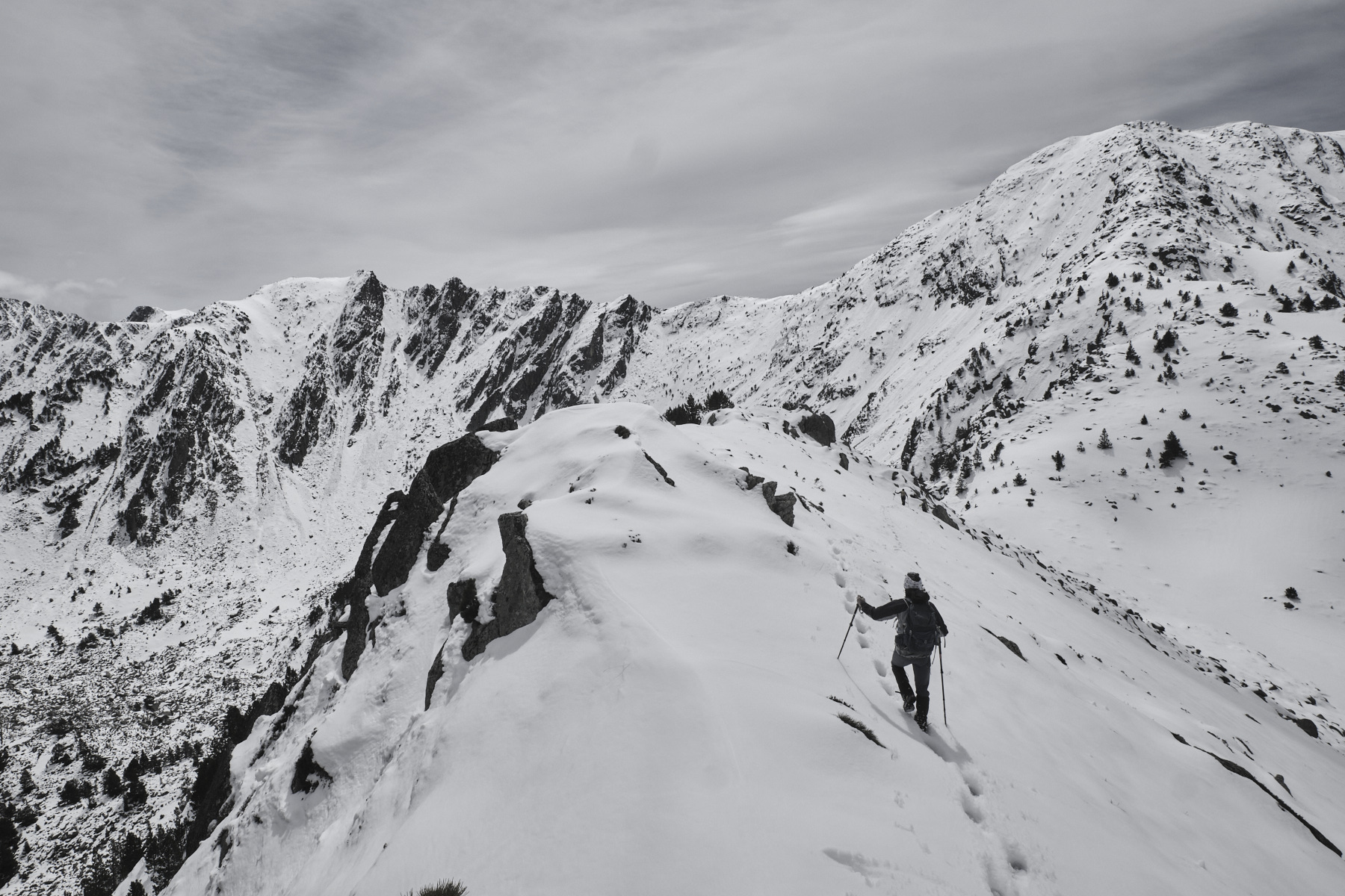
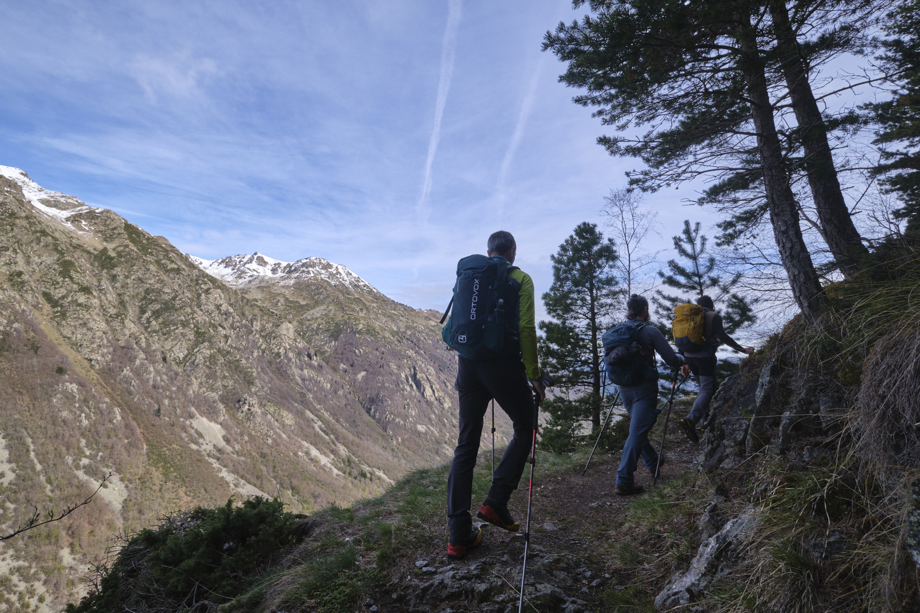
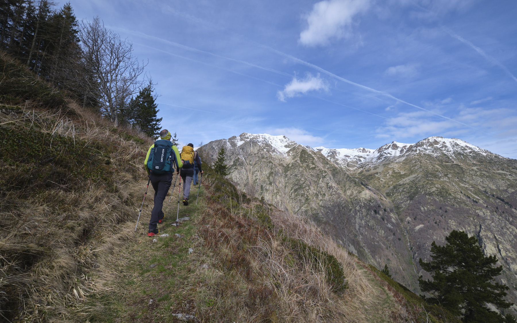
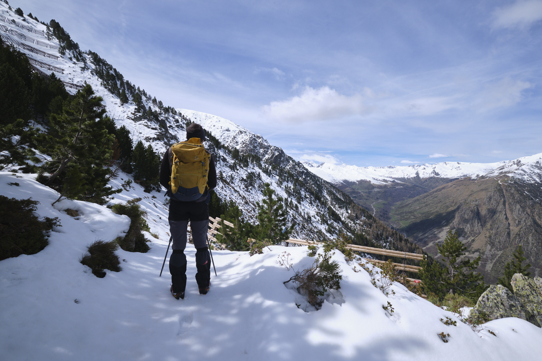
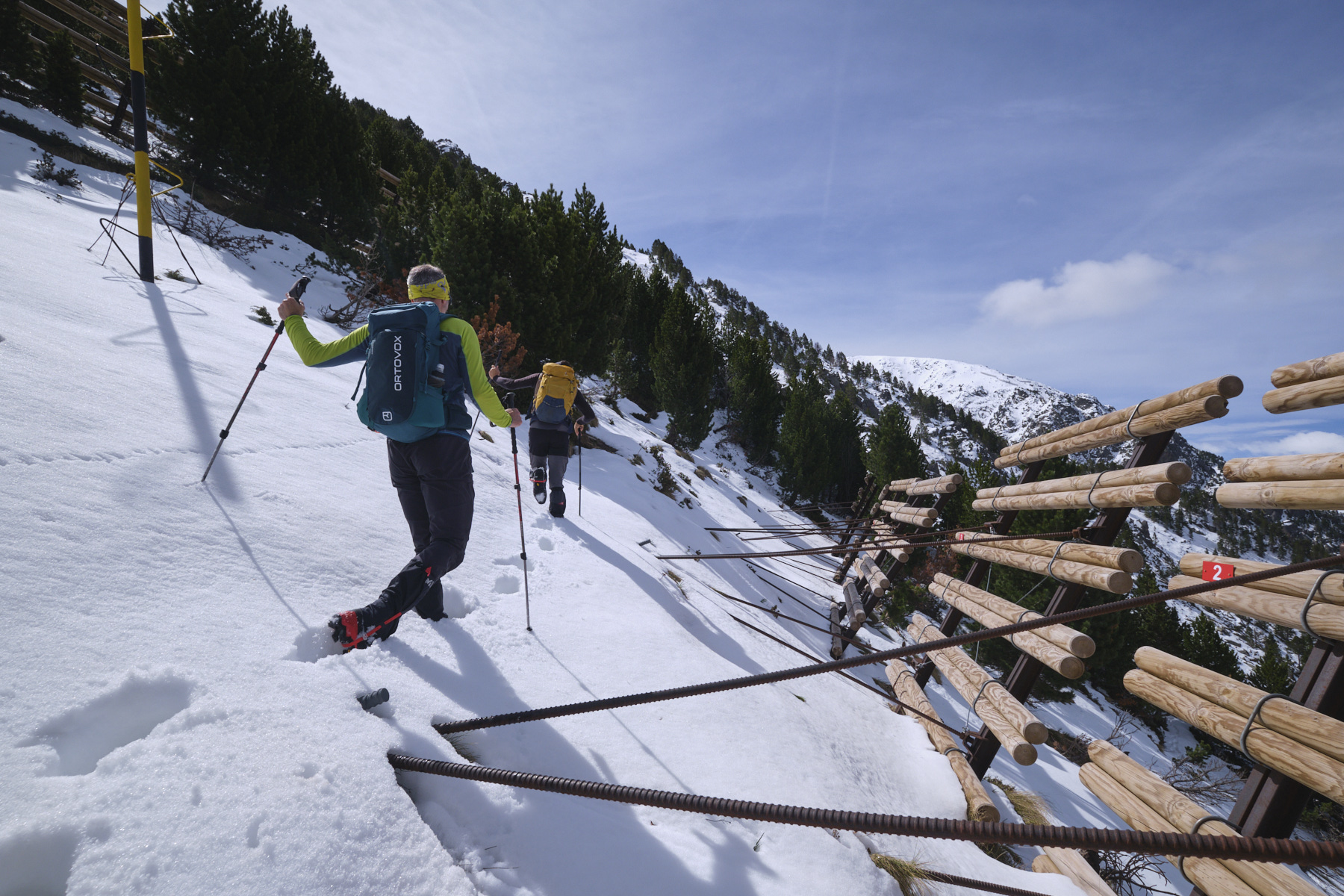
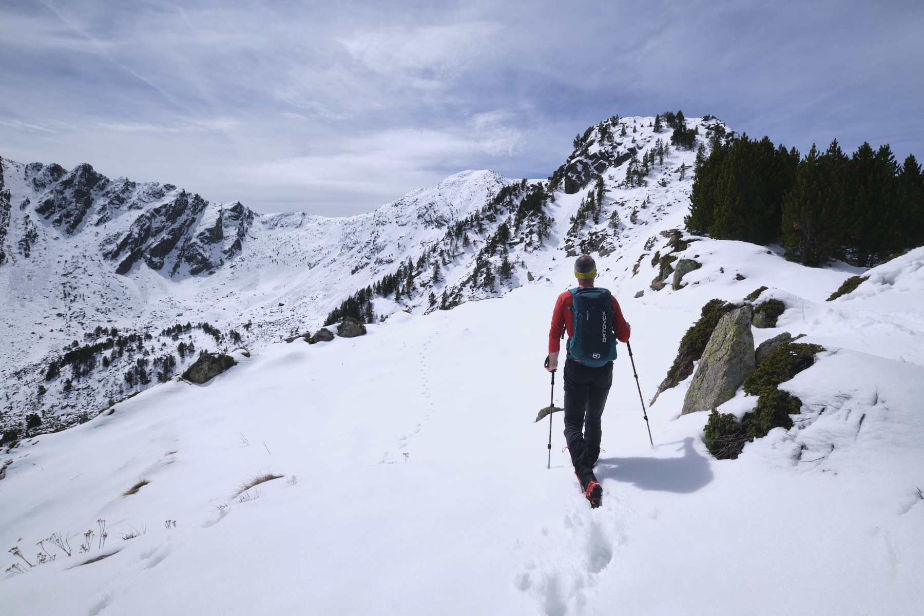
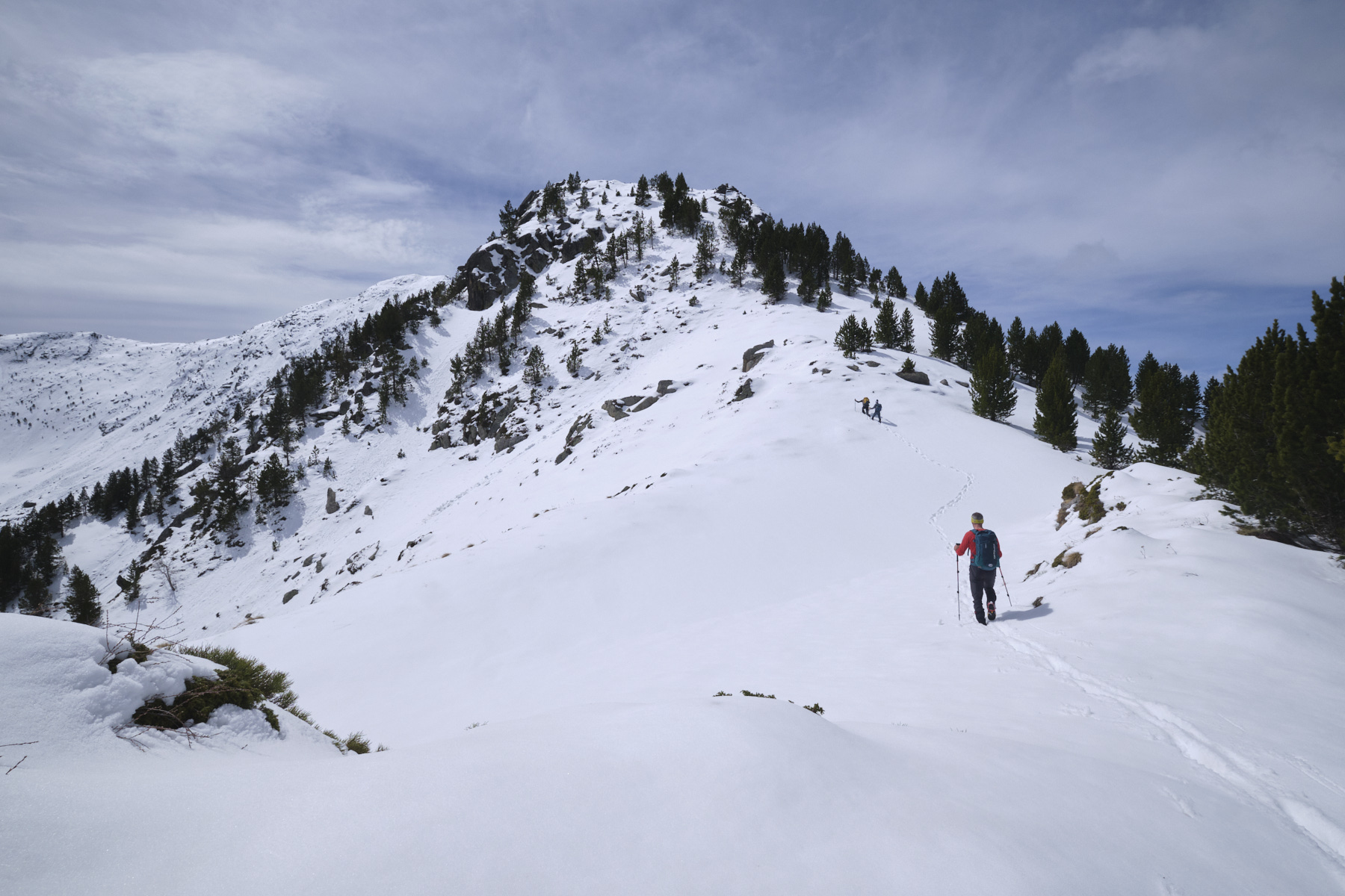
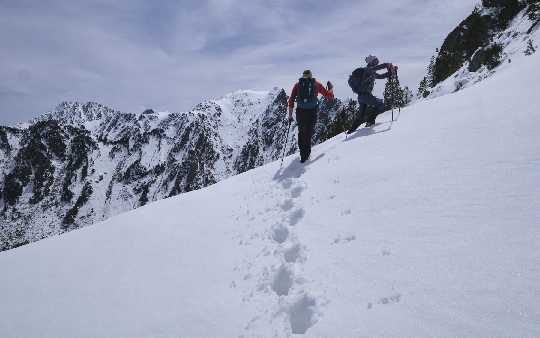
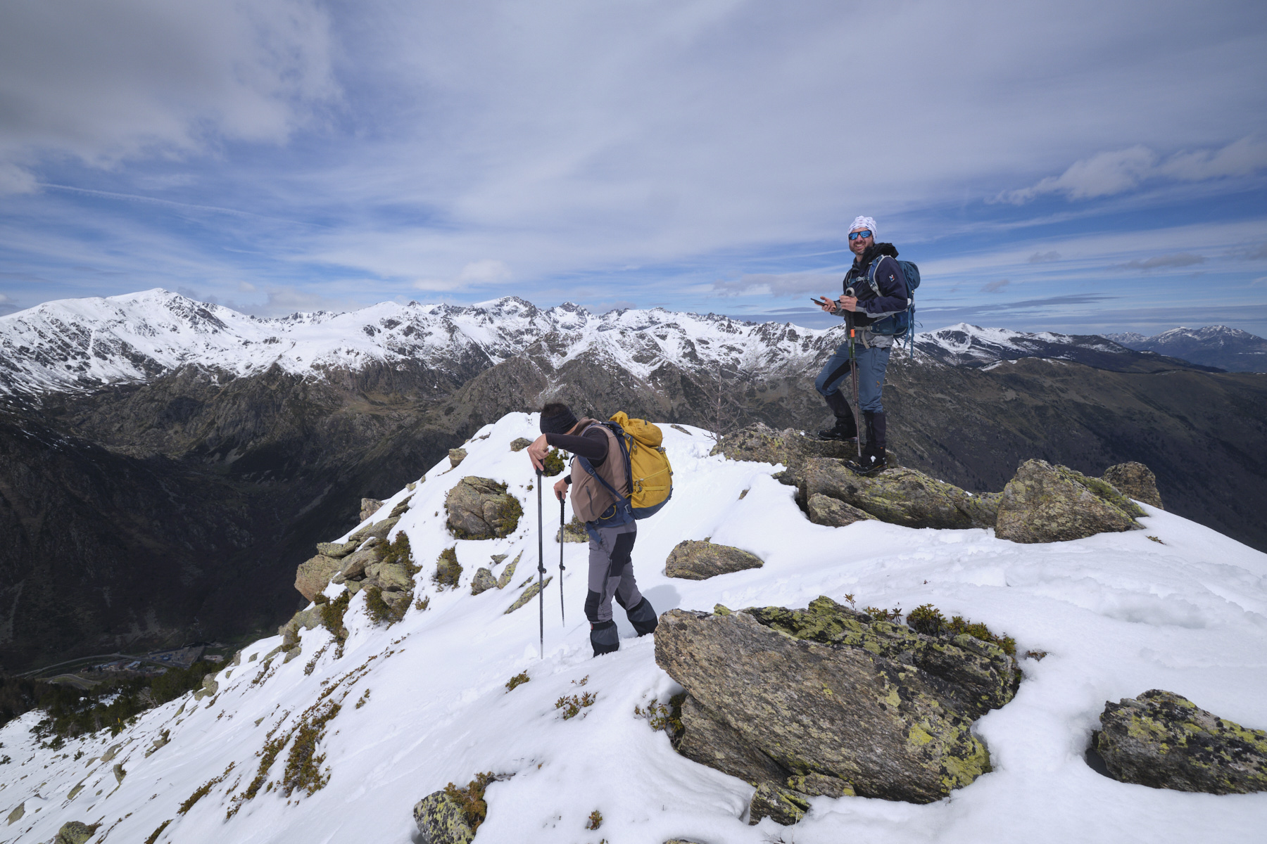
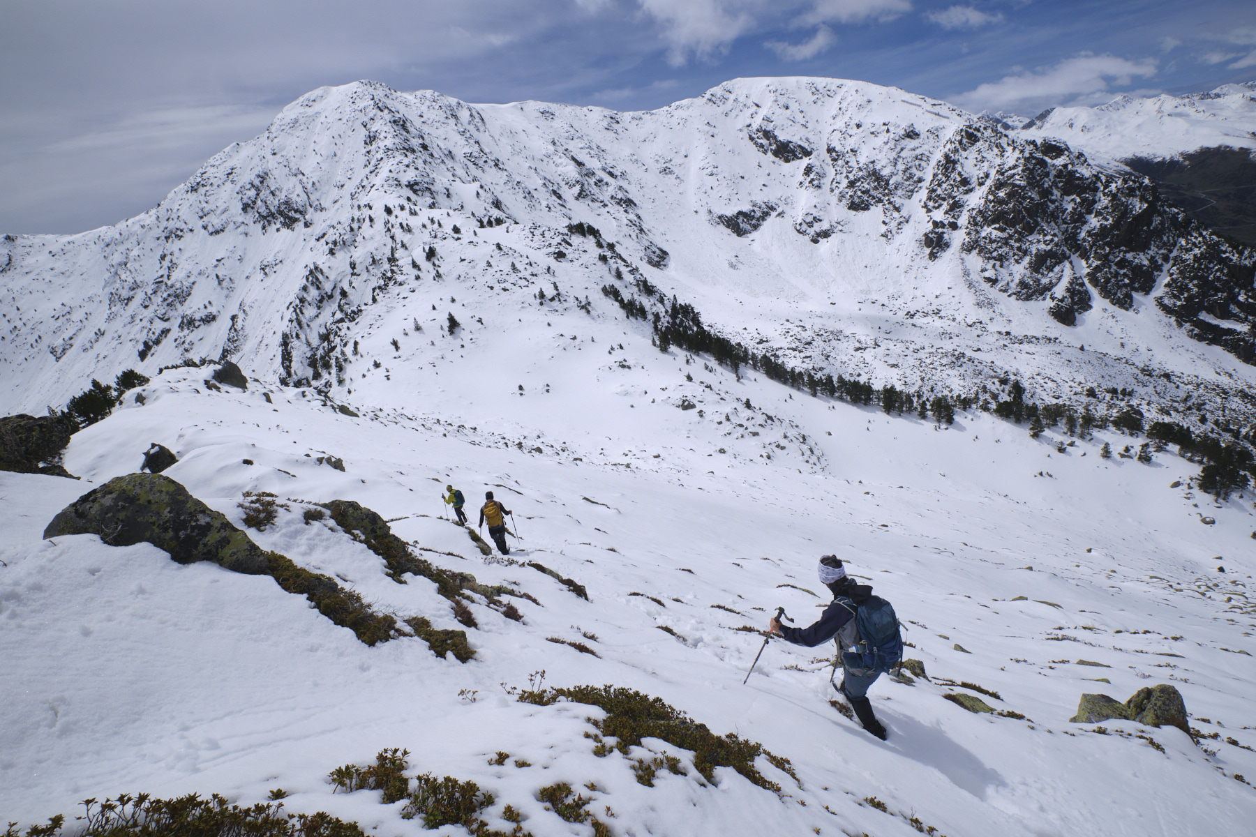
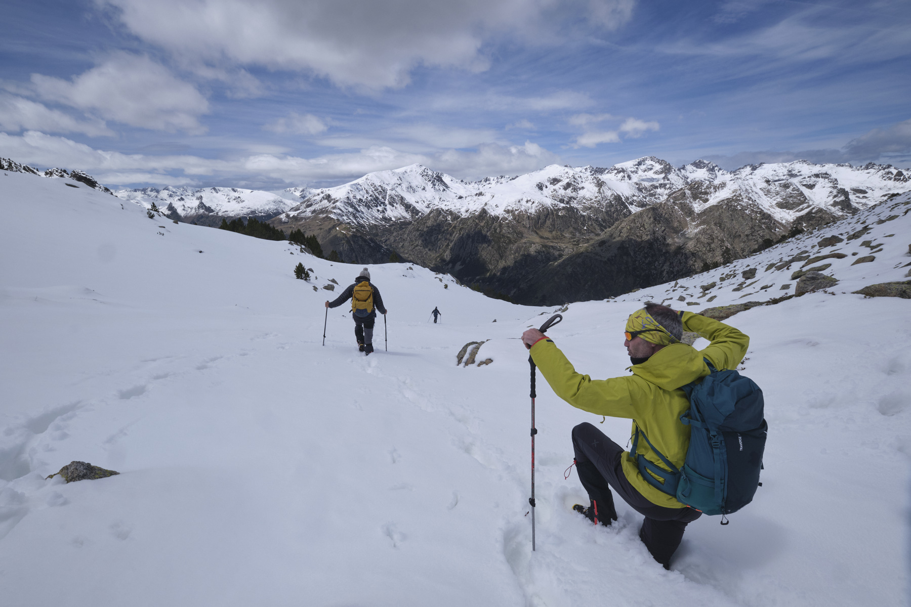
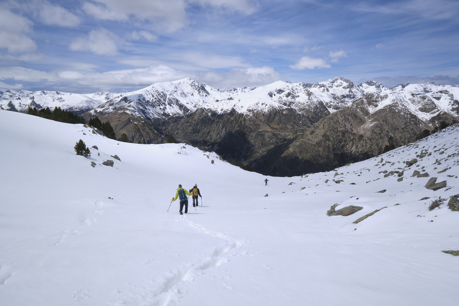
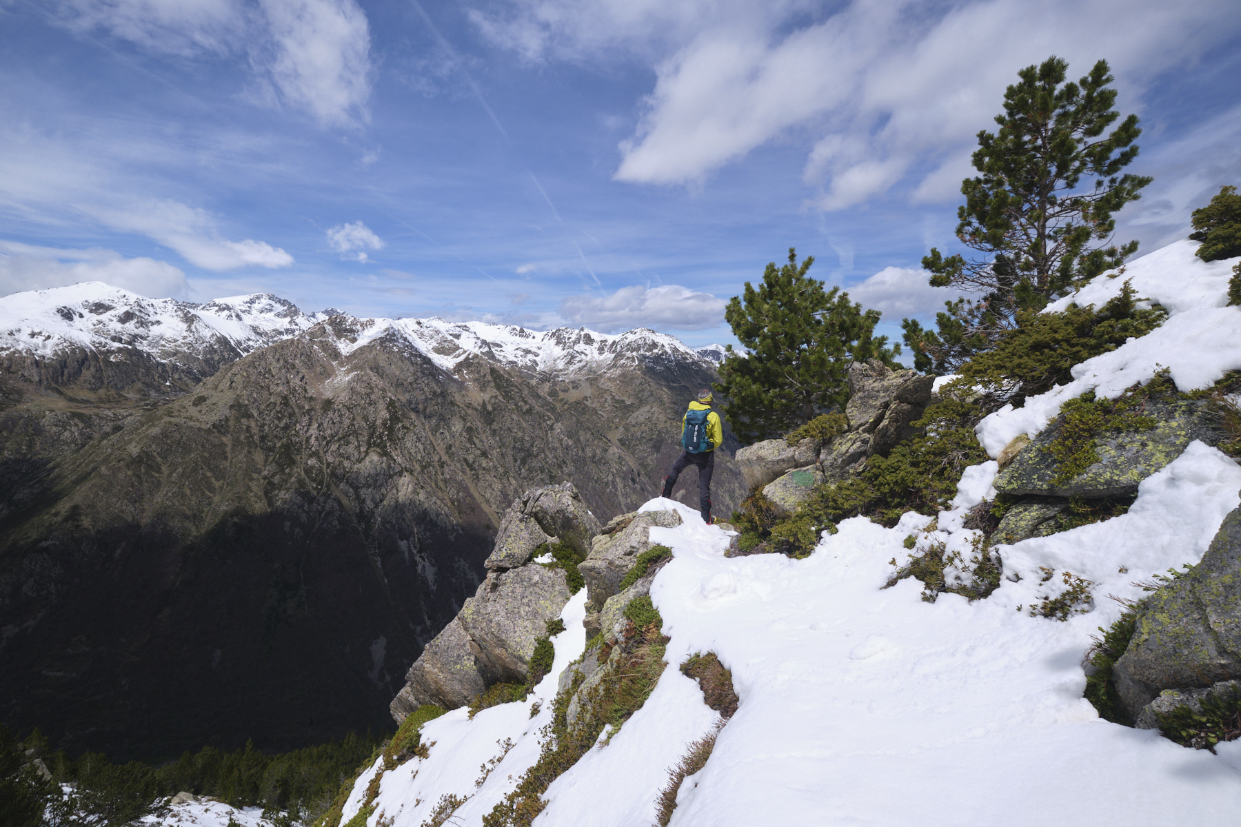
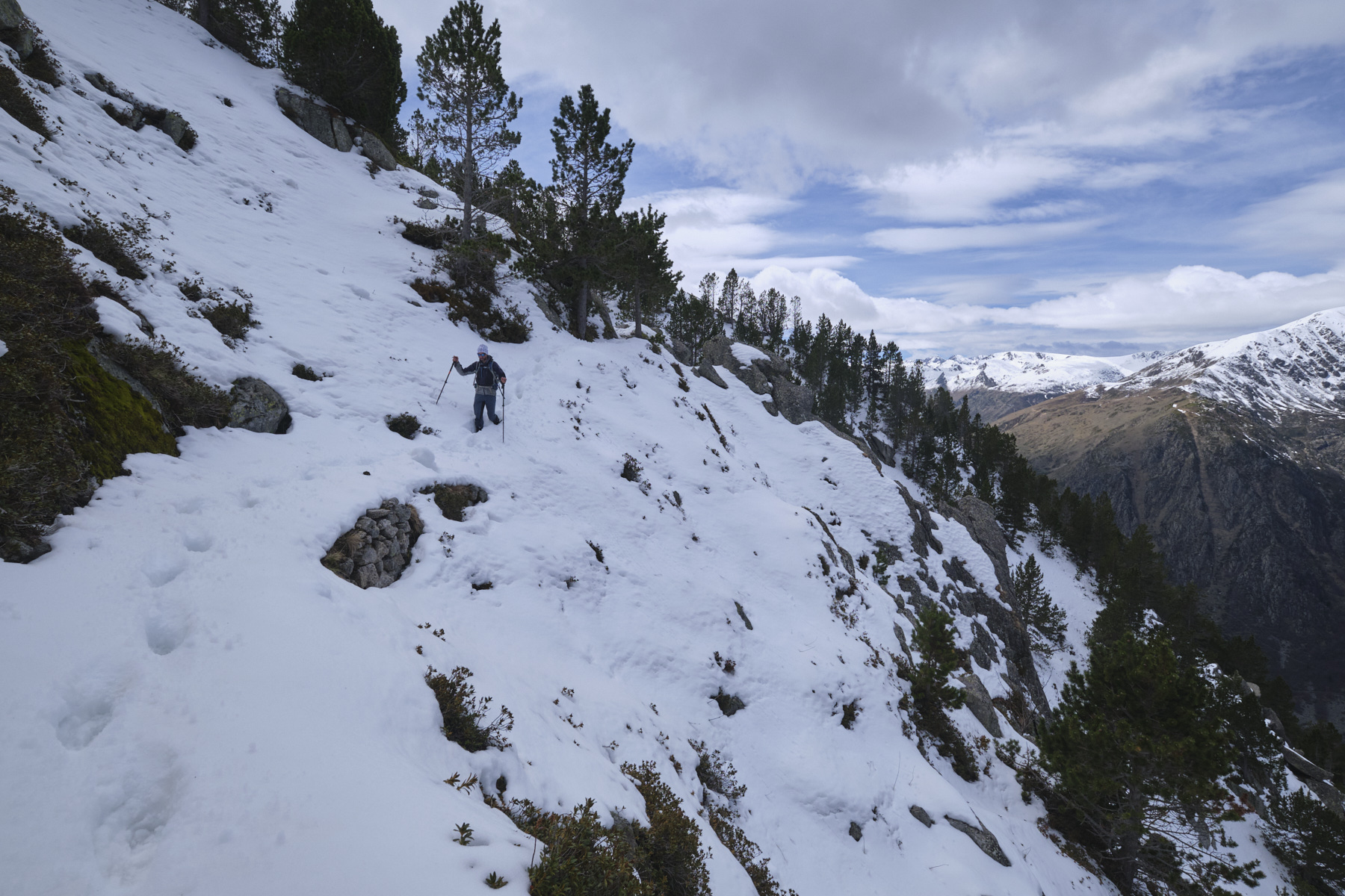
We set out to do the Pic de Querforc and Pic de Tossal Mercader in a loop via the Tos Bessateil ridges, but the hike ended at the Tos Bessateil because the snow was too heavy to progress to the summit. Once out of the confines of the Hospitalet valley, the view opens out over the Bésines valley to the east and the Pédourrès and Nérassol massif to the west. From the pass between Tos Bessateil and Pic d'Esquifolaygues, which precedes Pic de Querforc, a combe allows you to cut through to exit and return to the Cabane d'Espousouillette. A race to be rescheduled in better conditions!
❱❱ Technical summary
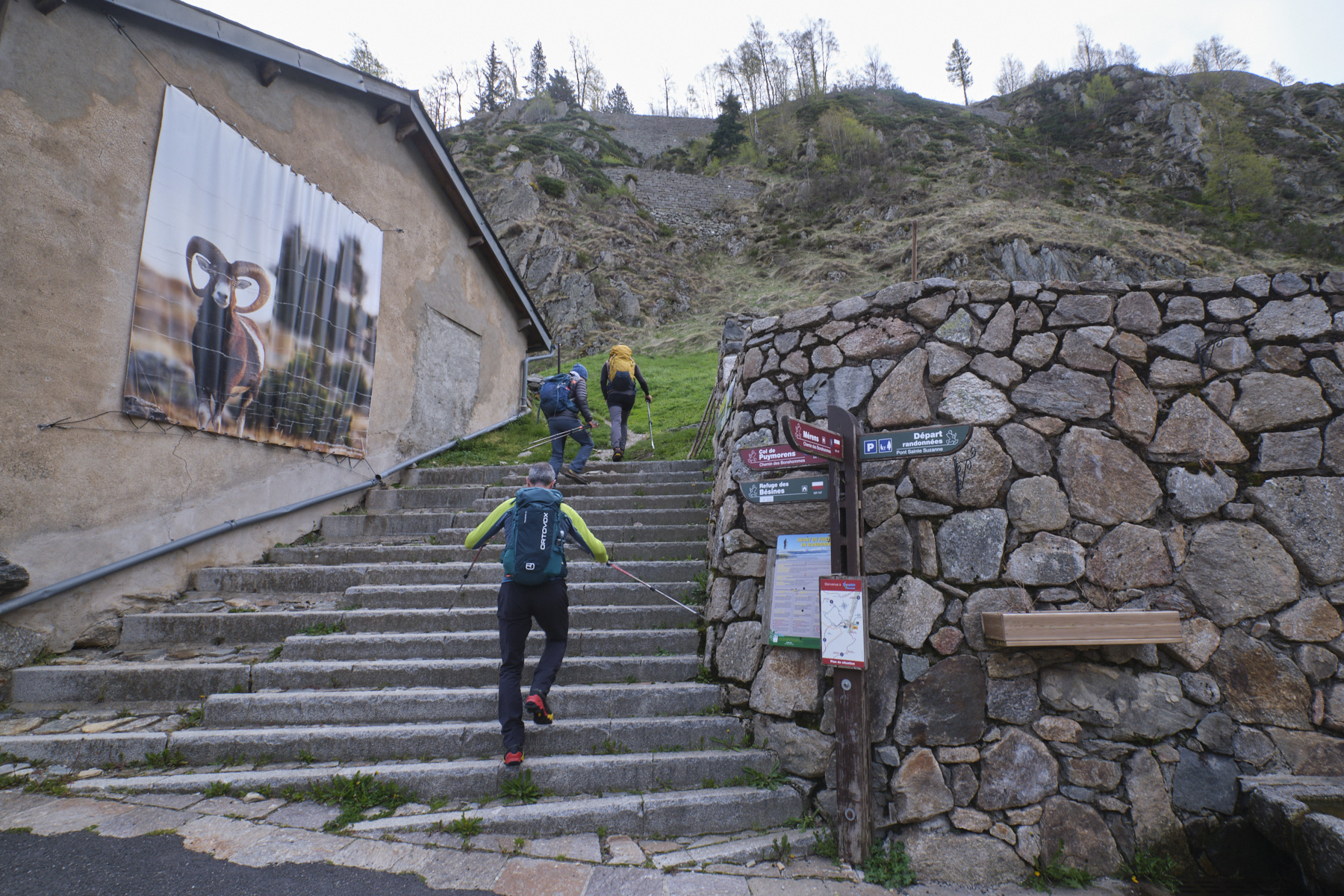
► Departure point: l'Hospitalet-près-l'Andorre, Ariège (09)
► Type of route: winter hike
► Distance: 11 km
► Cumulative elevation gain: +920 m
► Cumulative negative elevation gain: -920 m
► Estimated total time: 4h to 5h (snow conditions)
► Min and max altitude: 1470 m / 2362 m
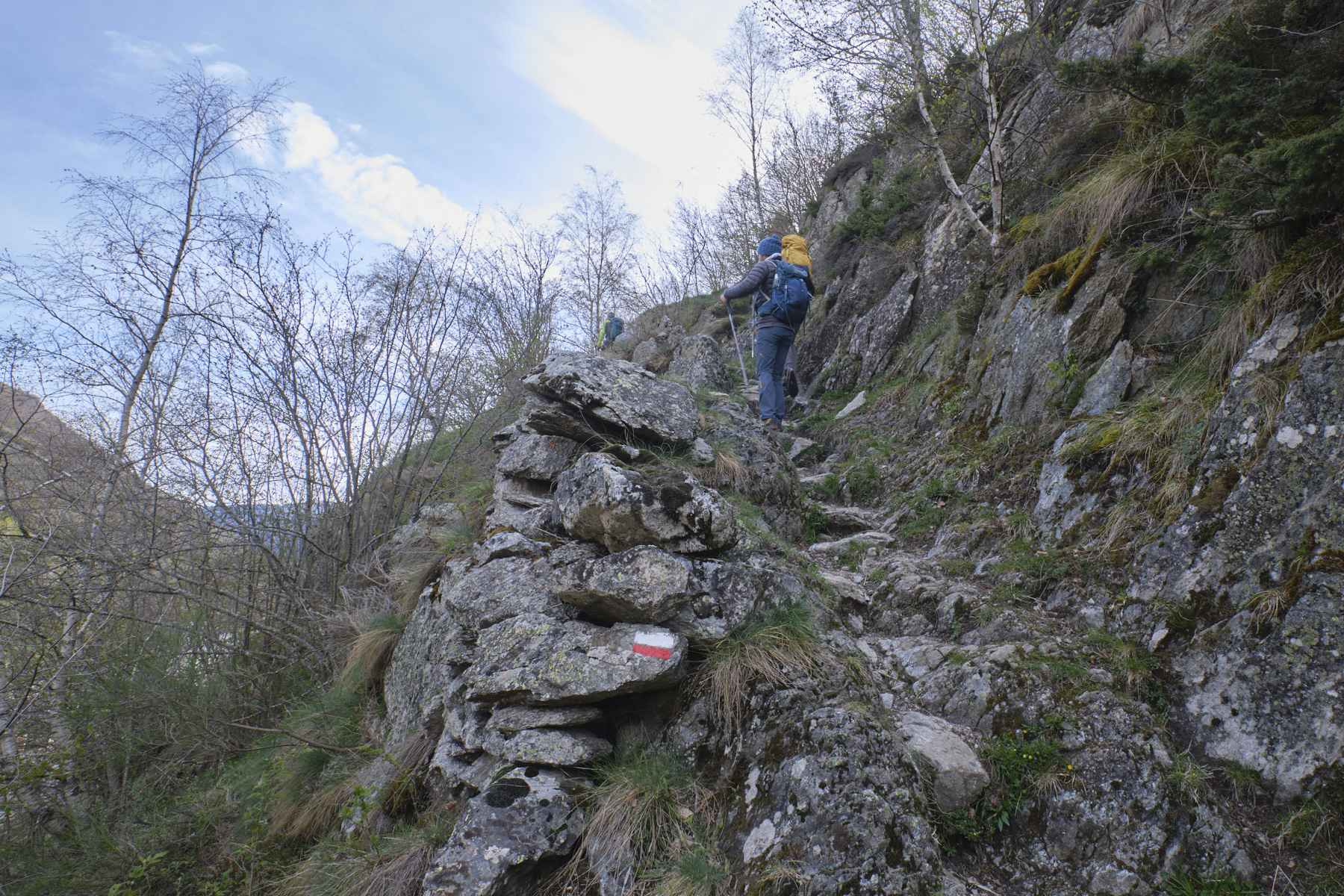
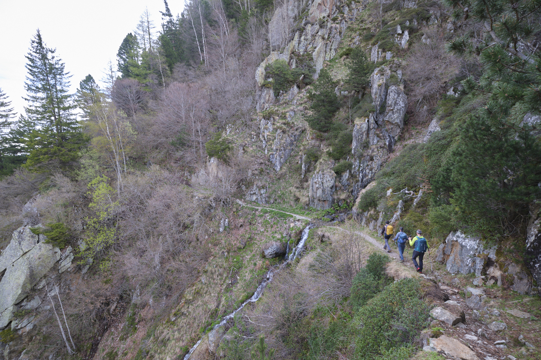
► Marking: the GR to reach the Tos Bessateil ridge, unmarked path on the ridges and on the way back.
► Equipment in place: none
► Equipment required: useful GPS track
Difficulties: Today's difficulty was mainly due to the snow on the route above 2000m, slowing the final progress on the Tos (and leading to the exit by the west).
❱❱ Access to the place
On the N20 between Ax-les-Thermes and Andorra, stop at l'Hospitalet. Park in the SNCF train station parking lot or in the parking lot opposite the gite d'étape.
❱❱ Map & topo
The route of the descent into the combe below the Bessateil bone to join the path to the hut is indicative.
❱❱ Itinéraire
![2017-08-01_10-56-03 [Crête de Pinu]](https://climbing7.com/wp-content/uploads/2017/09/2017-08-01_10-56-03-crc3aate-de-pinu-e1580117578105-1024x683.jpg "The Pinu ridges, Cap Corse")


Leave a Reply