
Ambatomanga à Mantasoa, Antananarivo


To the east of Tananarive, under the RN2 road heading towards Tamatave, we reach Ambatomanga, built on the top of a…
Read topo


To the east of Tananarive, under the RN2 road heading towards Tamatave, we reach Ambatomanga, built on the top of a…
Read topo
A beautiful coastal walk from Bonifacio to Capo Pertusato, a few kilometers further south-east, before retracing…
Read topo
On the Aiguilles de Bavella side, the canyon of the Ruisseau de la Purcaraccia is, as advertised, a sort of natural…
Read topo
Short but exceptionally intense. The Piscia di Gallo offers a sporty descent in an impressive aquatic universe...
Read topo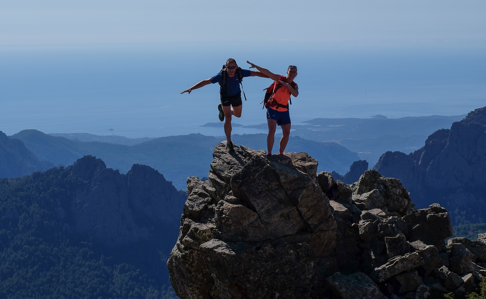
This combination of an alpine variant of the Aiguilles de Bavella and an ascent of Monte Incudine (2134m), with a…
Read topo
The Baracci is an exceptional canyon near Propriano, with just about everything you could want from a descent...
Read topoA classic among classics, the GR20 offers an exceptional itinerary for crossing Corsica from north to south, or vice versa, between sea and high mountains. With more than 160 kilometers of trails and over 12,000 meters of ascent, often between 1,500 and 2,500 meters above sea level, this is a challenging route for experienced hikers. But the GR20 is paying the price for its success, and for a little escape, we offer an alternative itinerary with numerous official and unofficial variants, and the ascent of some interesting peaks: Cirque de la Solitude, Paglia Orba and Capo Tafunatu, Monte d'Oro, Monte Renoso, Monte Incudine. This topo presents the GR20 as we did it in general terms, all the stages being described in more detail in the following posts.
Voir le dossier
Sur la HRP de Hendaye à Banyuls
Été 2025