
Canal del Skpat, Els Ports
Arnes, Estrets del riu, Catalunya. 3 new small barrancos recently opened from the Moles del Don dome: canal del…
Read topo


Arnes, Estrets del riu, Catalunya. 3 new small barrancos recently opened from the Moles del Don dome: canal del…
Read topo


Rainy weather on Montserrat this Monday, as we left Barcelona. So, on the way to Els Ports de Beceit, it's time for…
Read topo
Access Approach Sector topos Photo gallery
Read topo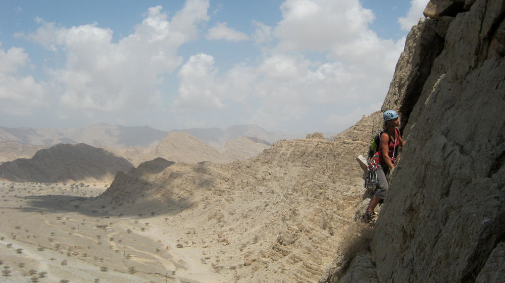
From the first relay
Read topo
L2 departure (7a)
Read topo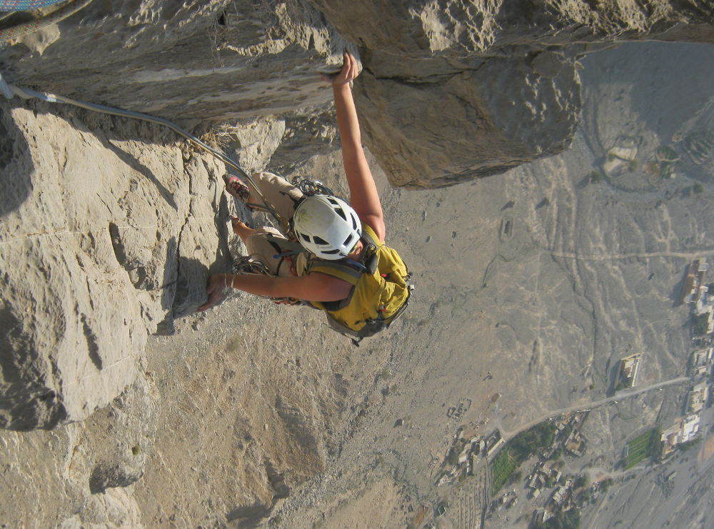
In L7
Read topoA classic among classics, the GR20 offers an exceptional itinerary for crossing Corsica from north to south, or vice versa, between sea and high mountains. With more than 160 kilometers of trails and over 12,000 meters of ascent, often between 1,500 and 2,500 meters above sea level, this is a challenging route for experienced hikers. But the GR20 is paying the price for its success, and for a little escape, we offer an alternative itinerary with numerous official and unofficial variants, and the ascent of some interesting peaks: Cirque de la Solitude, Paglia Orba and Capo Tafunatu, Monte d'Oro, Monte Renoso, Monte Incudine. This topo presents the GR20 as we did it in general terms, all the stages being described in more detail in the following posts.
Voir le dossier
Sur la HRP de Hendaye à Banyuls
Été 2025