


TOPO | CLIMBING7.COM
Publié le
 Partager sur WhatsApp
 Partager sur Twitter
Partager sur Instagram
Partager sur Twitter
Partager sur Instagram

 Partager sur Facebook
 Imprimer le topo
 Laisser un commentaire

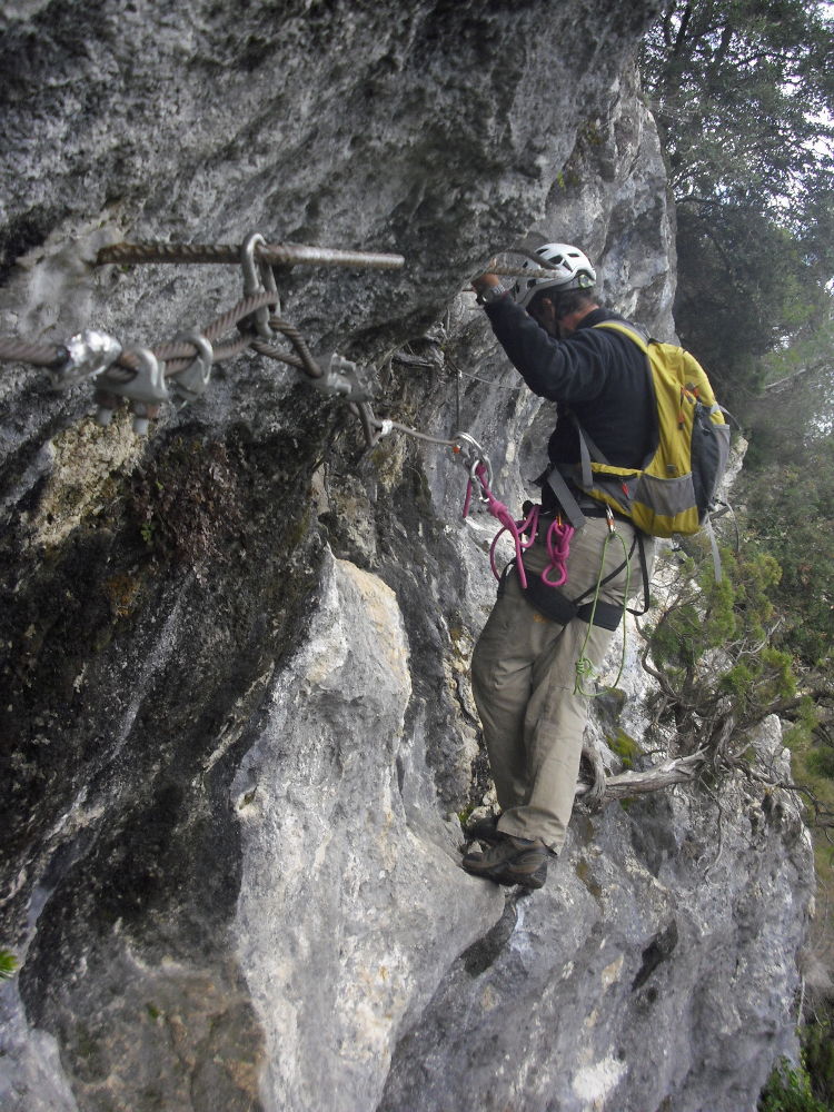
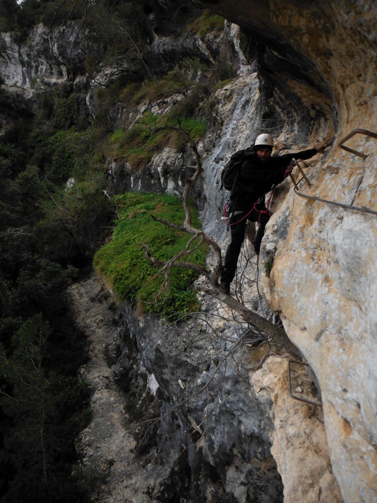
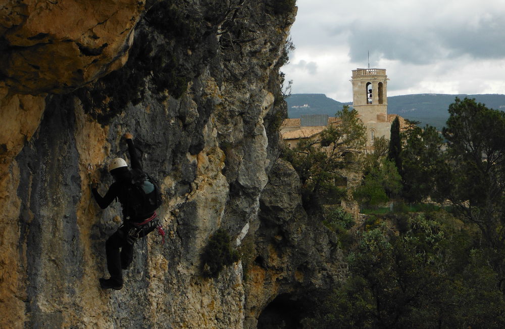
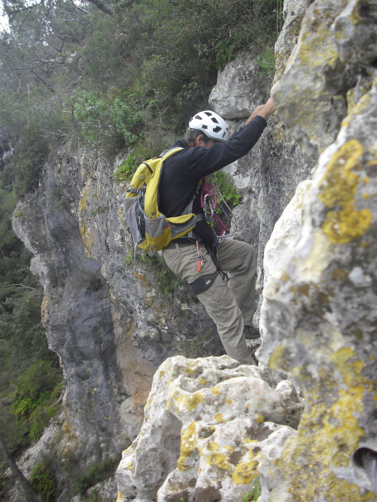
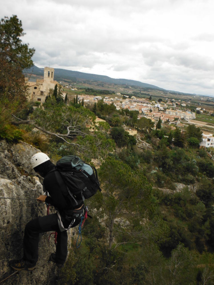
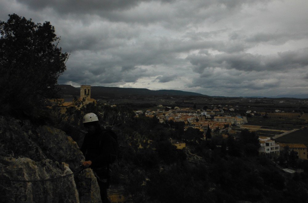
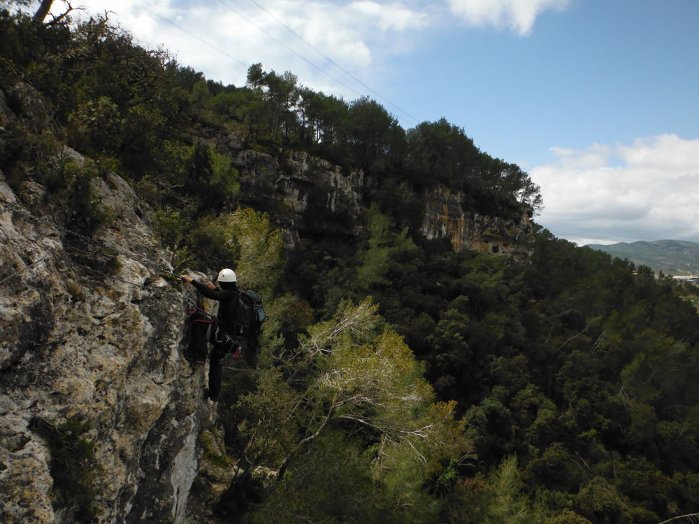
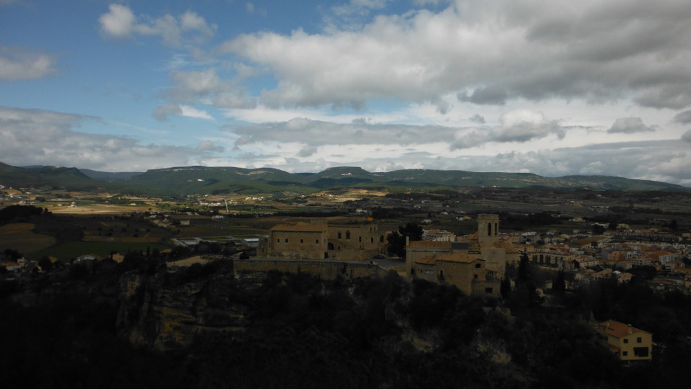
Rainy weather on Montserrat this Monday, as we left Barcelona. So, on the way to Els Ports de Beceit, it's time for a new Catalan via ferrata, above the village of Sant Marti Sarroca, a few kilometers north of Vilafranca de Penedes. The ferrata is officially closed, as the first rungs have been sawn through. Far from stopping, we set off as best we could to reach the route, which is a long traverse on the cliffside above the village. The equipment is correct, even if rusty in places. This is a difficult route, with a number of overhanging sections, so it's physical and fairly long. A far from unforgettable but interesting Ferrata. Do it again in the sun?
❱❱ Technical summary
Location ✦ Sant Marti Sarroca
Region ✦ Catalunya
Country ✦ Spain
Type ✦ Via ferrata
Vertical rise ✦ 175m
Difficulty ✦ K4
Distance ✦ 200m
Duration ✦ 2h30 to 3h
❱❱ Access to the place
From Vilafranca de Penedes, take the BP-2121 towards Sant Marti and just before the village, at the last traffic circle, turn left towards the cemetery, where you can park.
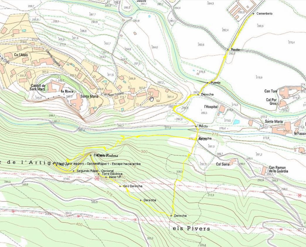
❱❱ Map & topo
❱❱ Itinéraire
Not easy, as the signs seem to have been removed. Continue on foot to pass the first small rio. Climb back up and fork right at the bend, then follow it down to another rio, which you cross. At the 1st left-hand bend on the way up, pick up the narrow path that leads straight up into the forest. The cliff begins here, stay high enough to find the start on a small ledge.
The ferrata comprises 2 sections separated by a compulsory 10m abseil. There is essentially one long traverse and 2 overhanging sections to negotiate.
Not easy either. Climb back up to find the wide track that zigzags back to the bottom of the village, on the other side from the parking lot. Be careful, as there's an equipped path right there and you can find equipment here and there, but it's not the way out! From the bottom of the village, descend along the rio to find the approach path.


Leave a Reply