


TOPO Hiking | CLIMBING7.COM
Publié le
 Partager sur WhatsApp
 Partager sur Twitter
Partager sur Instagram
Partager sur Twitter
Partager sur Instagram

 Partager sur Facebook
 Imprimer le topo
 Laisser un commentaire

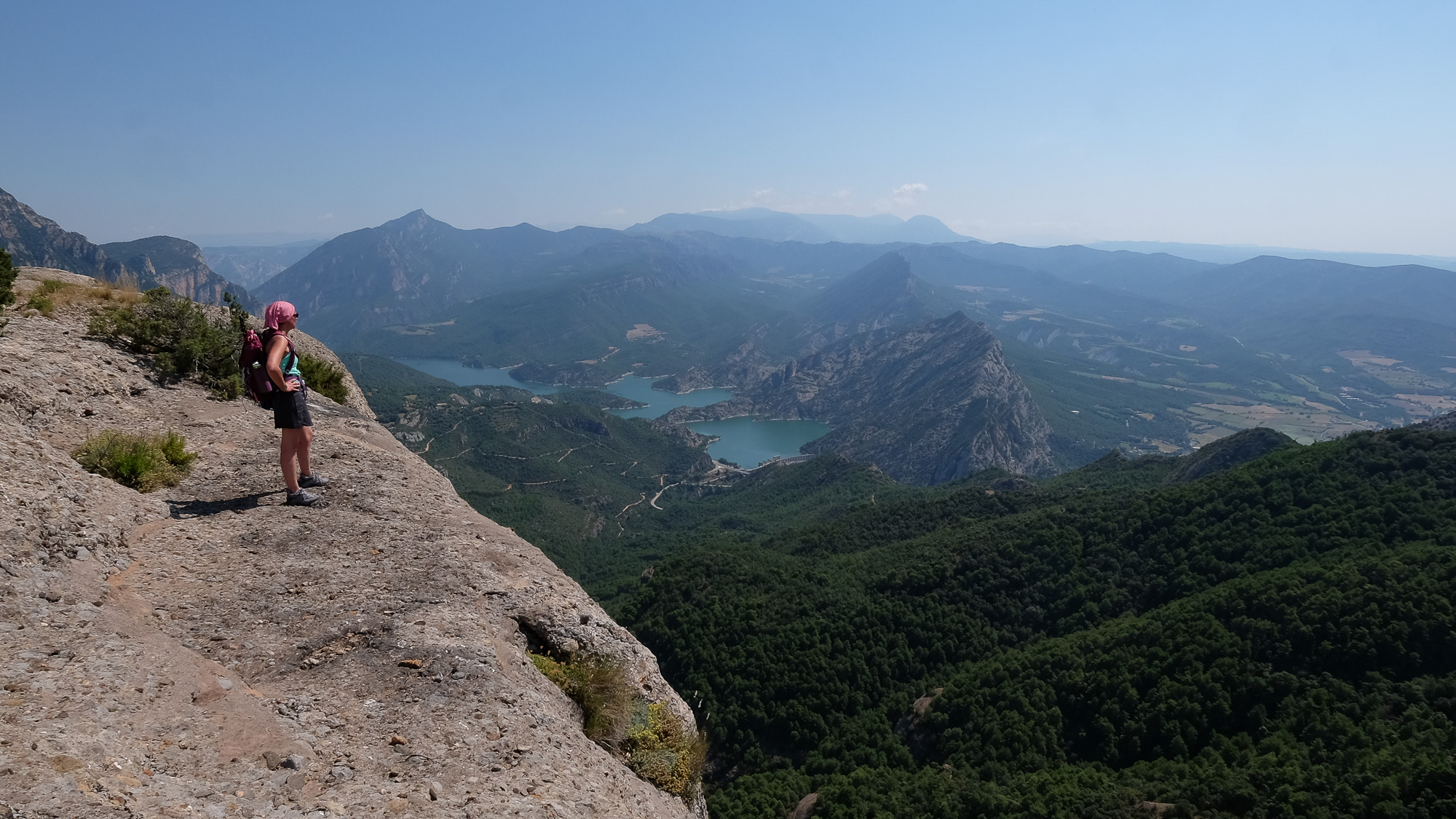
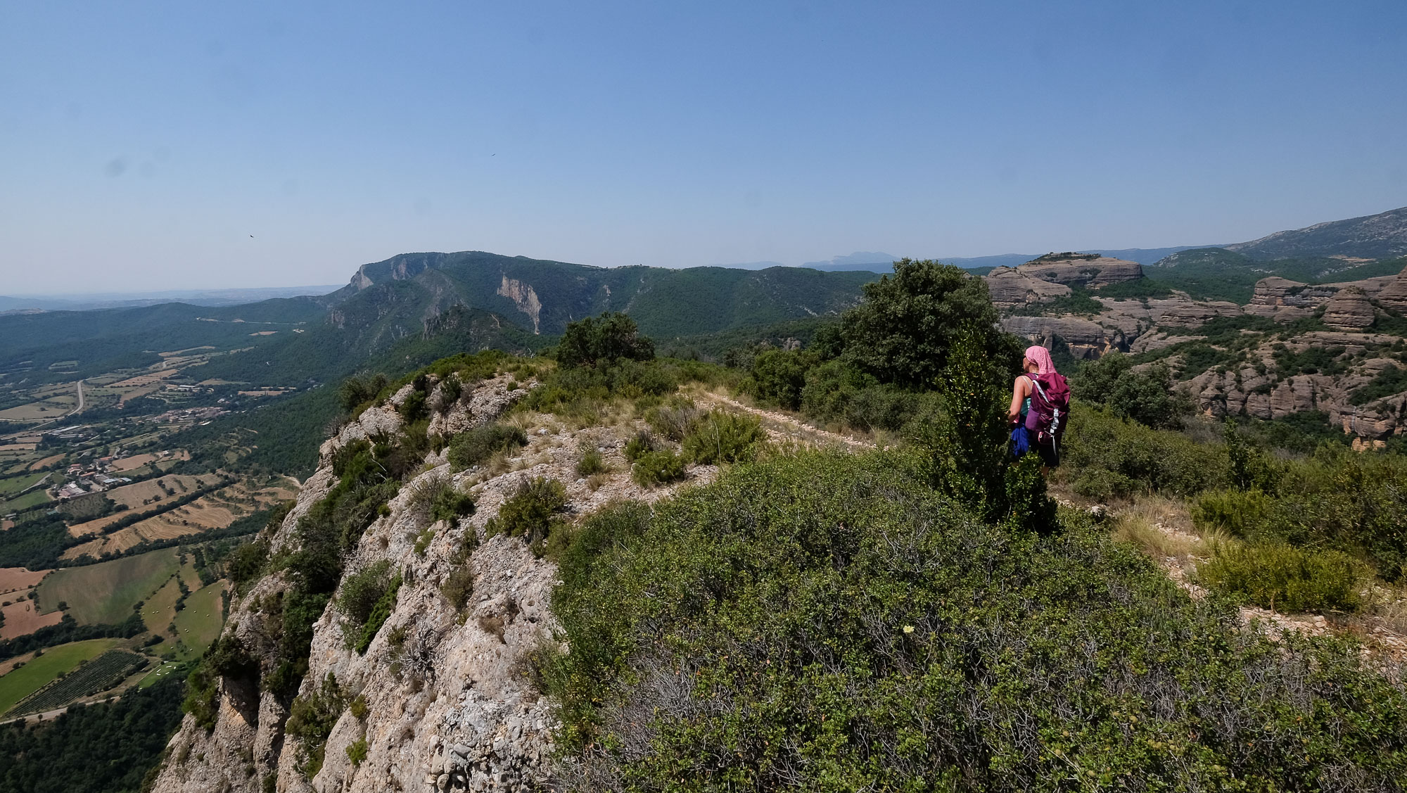
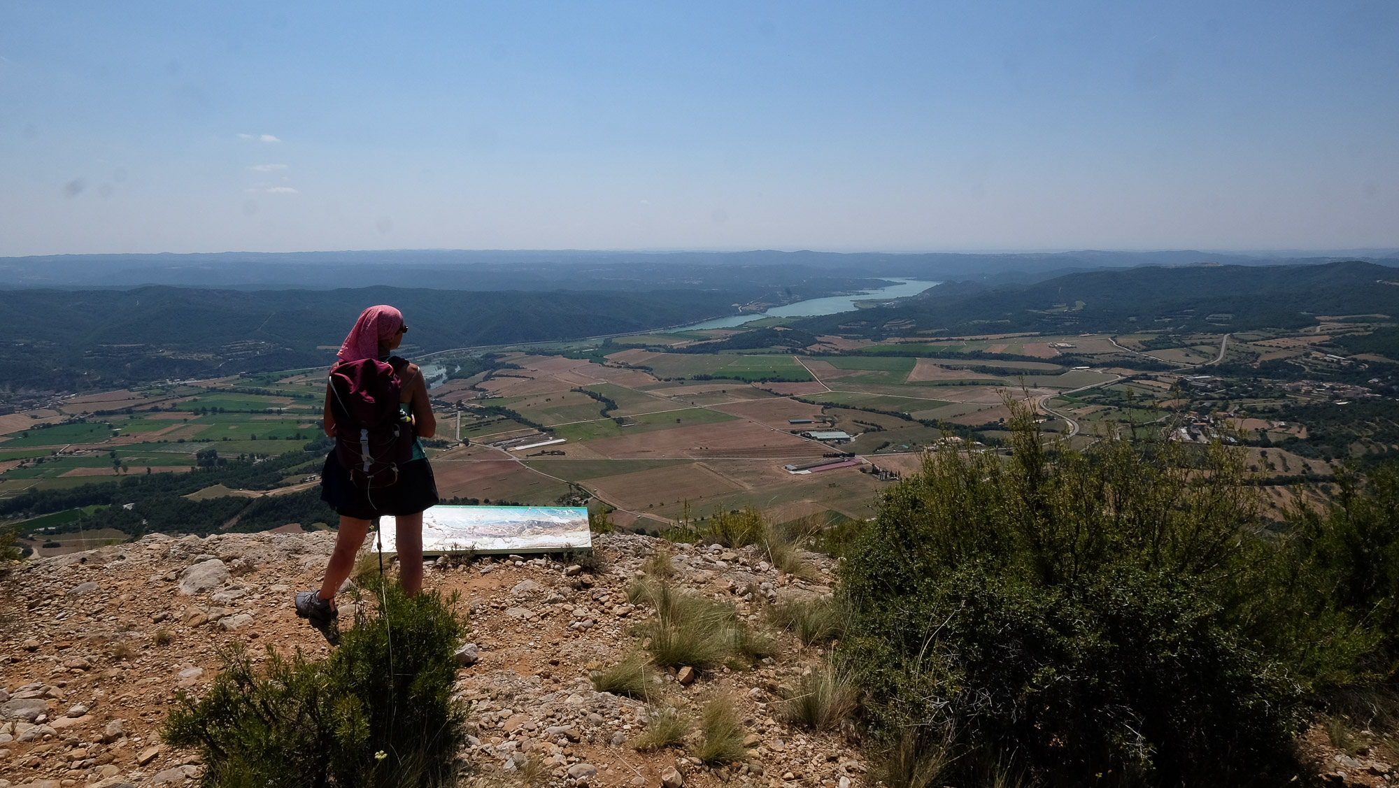
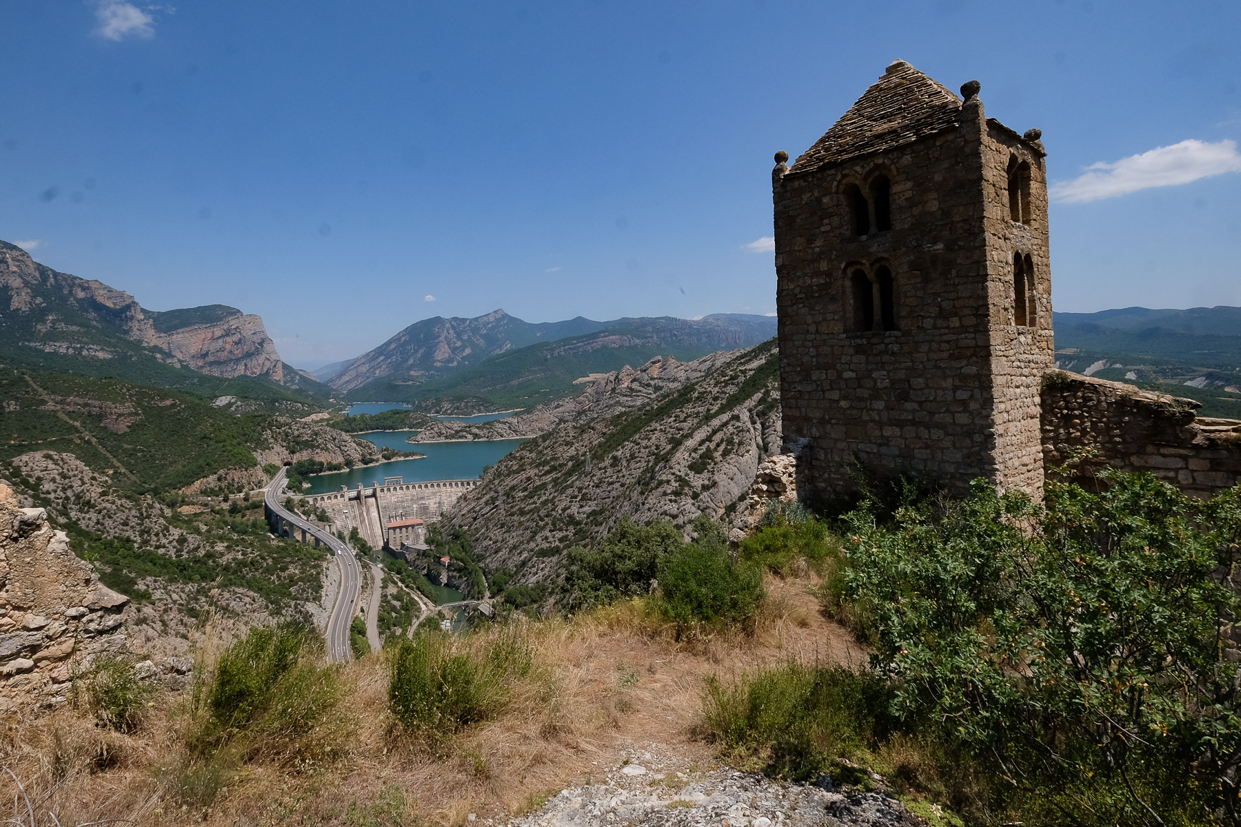
In the superb setting of the Segre valley above Oliana, the route leads to 3 viewpoints: the Roques de Sant Honorat, the Roc del Rombau ridge and the Castell Llebre church. It's an easy loop, ideal for exploring the area before heading straight for a dip in the lake, given the summer heat here. Vultures criss-cross the sky, watching over us as we glide majestically along the thermal currents. An accessible and varied route, suitable for all seasons, on the road to the Catalan Pyrenees and Andorra. Other routes are possible in the same massif, including the equally impressive mirador del Roc del Corb.
❱❱ Technical summary
Type ✦ Hiking
Location ✦ Peramola
Region ✦ Alt Urgell, Catalunya
Country ✦ Spain
Max altitude ✦ 1038m
Distance ✦ 9.6km
Vertical drop ✦ 495m
Difficulty ✦ E3 / T3 / R2
Duration ✦ 3h to 4h
Interest ✦ ★★
❱❱ Access to the place
On the C14 road between Ponts and the Seu d'Urgell, north of Oliana, where the road crosses the Segre, turn off onto the LV-5118 towards Trago and Peramola. Further on, leave Trago and continue towards Peramola. Then turn off towards Horta Can Boix. You'll be facing the impressive south face of Roc del Rombau. At the very end, at the entrance to the inn/hotel, park immediately on the track that descends to the right.
❱❱ Map & topo
❱❱ Itinéraire
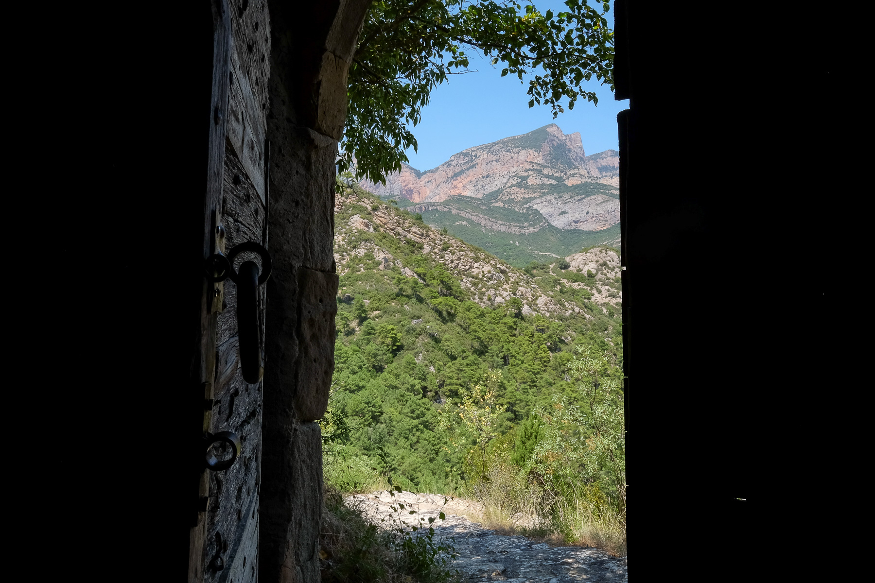
From the parking lot, cross alongside the Can Boix inn and behind it, the trail to the Roques de Sant Honorat begins.
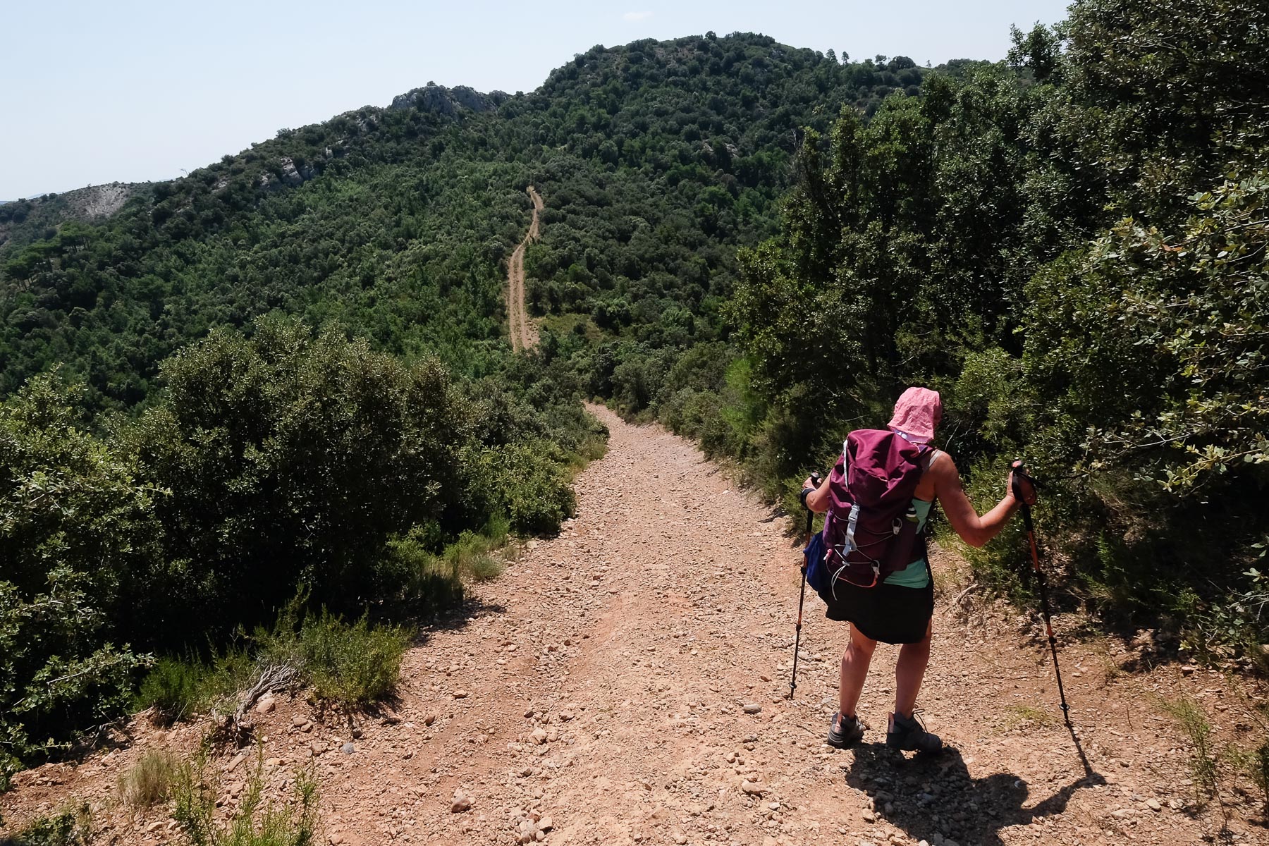
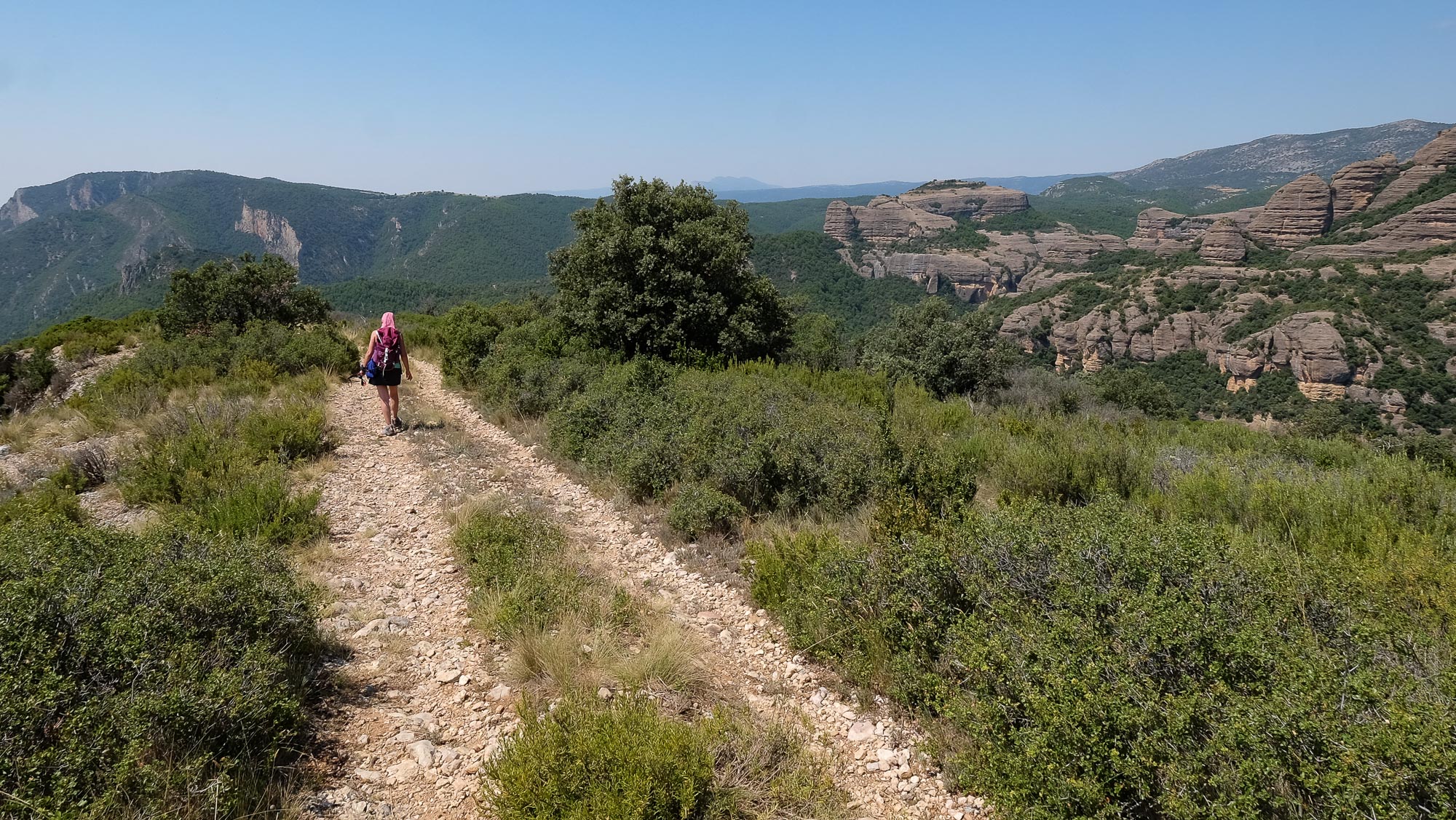
The loop follows a combination of well-marked trails, but the signposting is strangely absent. Only a few small posts or signposts are present at the main junctions. There's little technical difficulty, but the slope of the track leading to Roc del Rombau and then to Castell Llebre is steep and slippery. There are also a few short crossings on slabs of inclined rock. Last but not least: the heat. Make sure you bring plenty of water and sun protection in hot weather, as there are no refreshments en route.
Leaving Castell Llebre, return to the main track and head south. The track then skirts the Roc del Rombau to the east, then skirts its cliffs to the south. The path is more or less flat, with a few undulations. Finally, you come back under Can Boix. Climb back up, still following the track, to return to the starting parking lot.
Itinerary proposed by the comarca of Alt Urgell with Le Roc del Corb as a bonus.


Leave a Reply