
Montpart a la Miranda de las Boïgues, Montserrat, Spain


Coeur des Agulles
Read topo


Coeur des Agulles
Read topo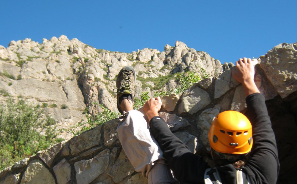
Almost on the Codolosa
Read topo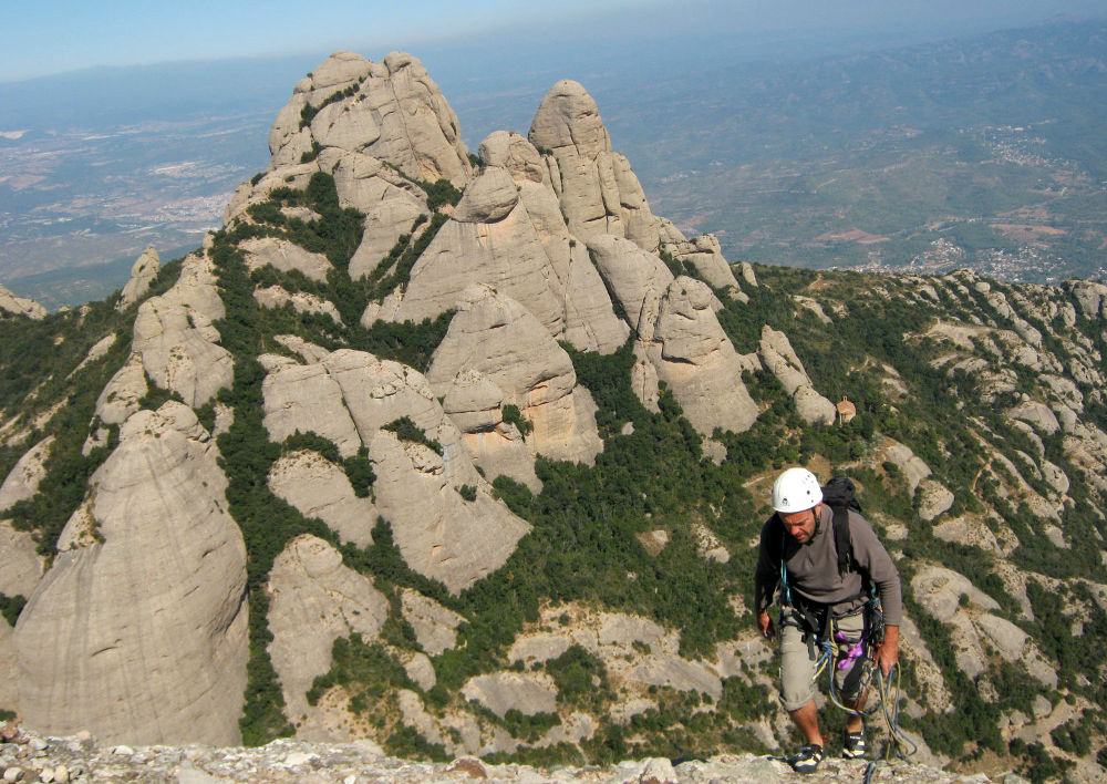
La Gorra summit
Read topo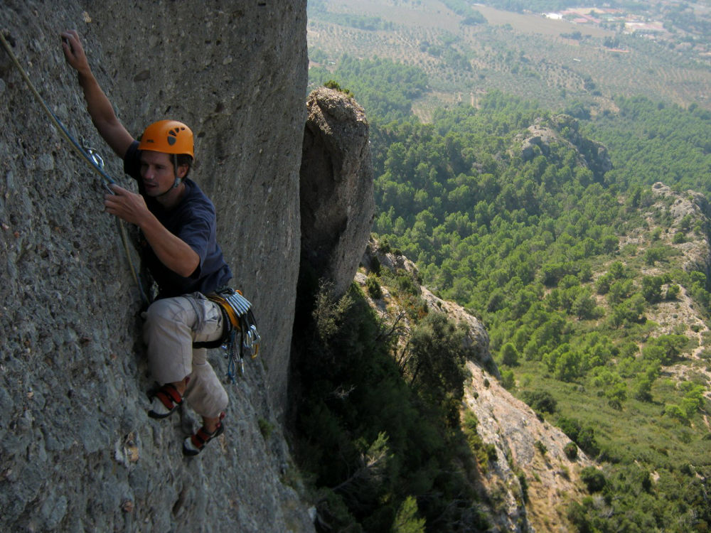
End of 2nd length
Read topo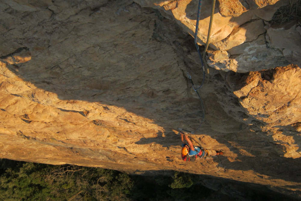
Vilanova de Meïa, in the Segre valley. Wild site, exceptional walls. The aim was to cross the fantastic Roca dels…
Read topo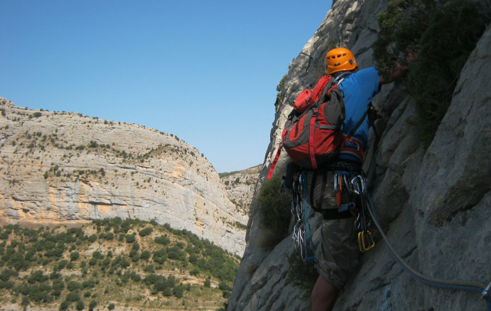
Facing the Roca dels Arcs
Read topoA classic among classics, the GR20 offers an exceptional itinerary for crossing Corsica from north to south, or vice versa, between sea and high mountains. With more than 160 kilometers of trails and over 12,000 meters of ascent, often between 1,500 and 2,500 meters above sea level, this is a challenging route for experienced hikers. But the GR20 is paying the price for its success, and for a little escape, we offer an alternative itinerary with numerous official and unofficial variants, and the ascent of some interesting peaks: Cirque de la Solitude, Paglia Orba and Capo Tafunatu, Monte d'Oro, Monte Renoso, Monte Incudine. This topo presents the GR20 as we did it in general terms, all the stages being described in more detail in the following posts.
Voir le dossier
Sur la HRP de Hendaye à Banyuls
Été 2025