


TOPO Canyoning | CLIMBING7.COM
Publié le
 Partager sur WhatsApp
 Partager sur Twitter
Partager sur Instagram
Partager sur Twitter
Partager sur Instagram

 Partager sur Facebook
 Imprimer le topo
 Laisser un commentaire

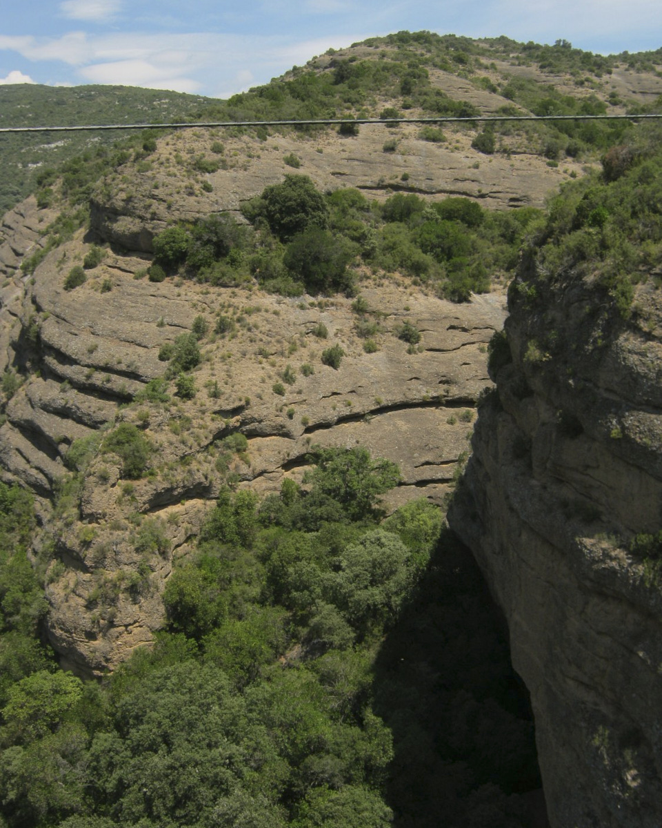
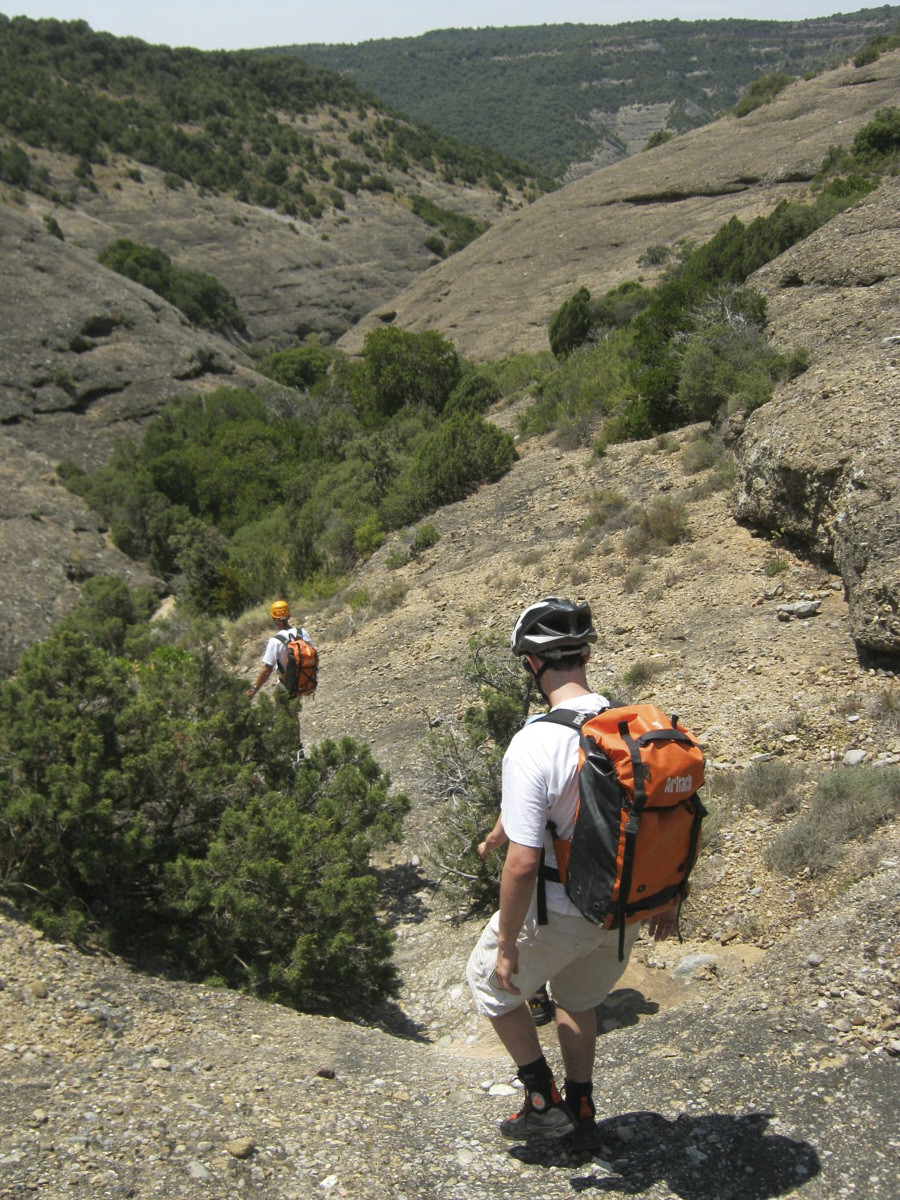
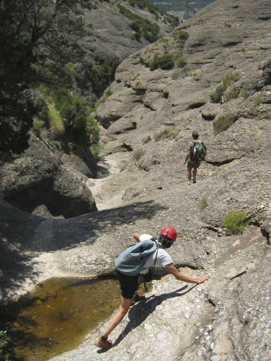
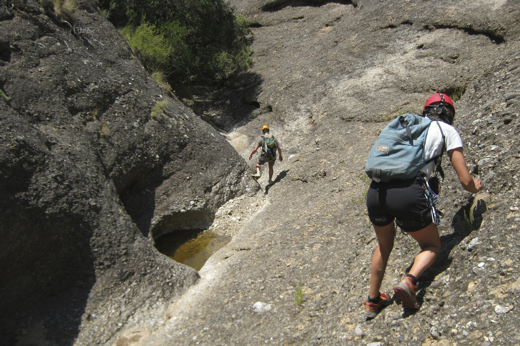
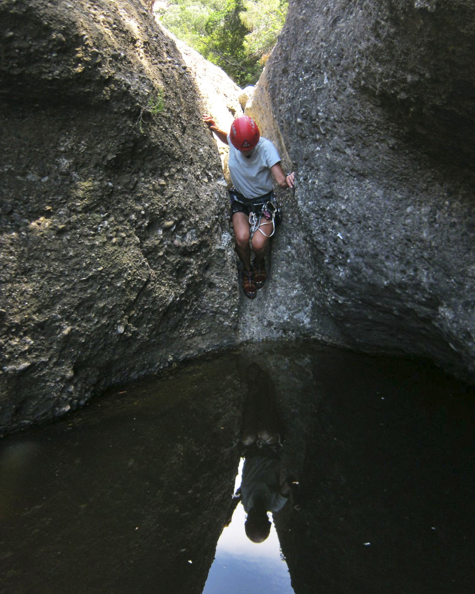
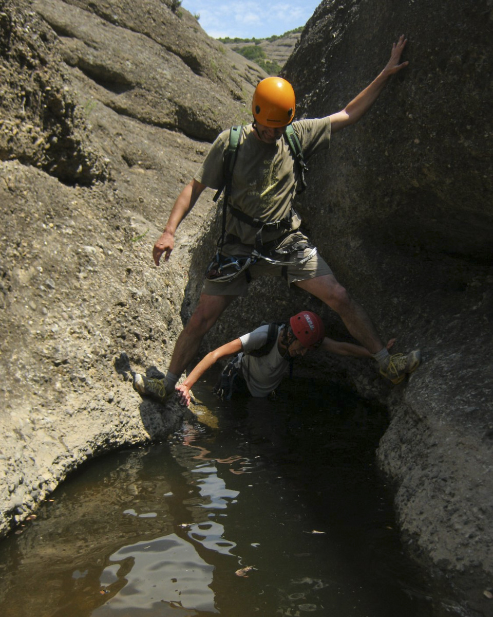
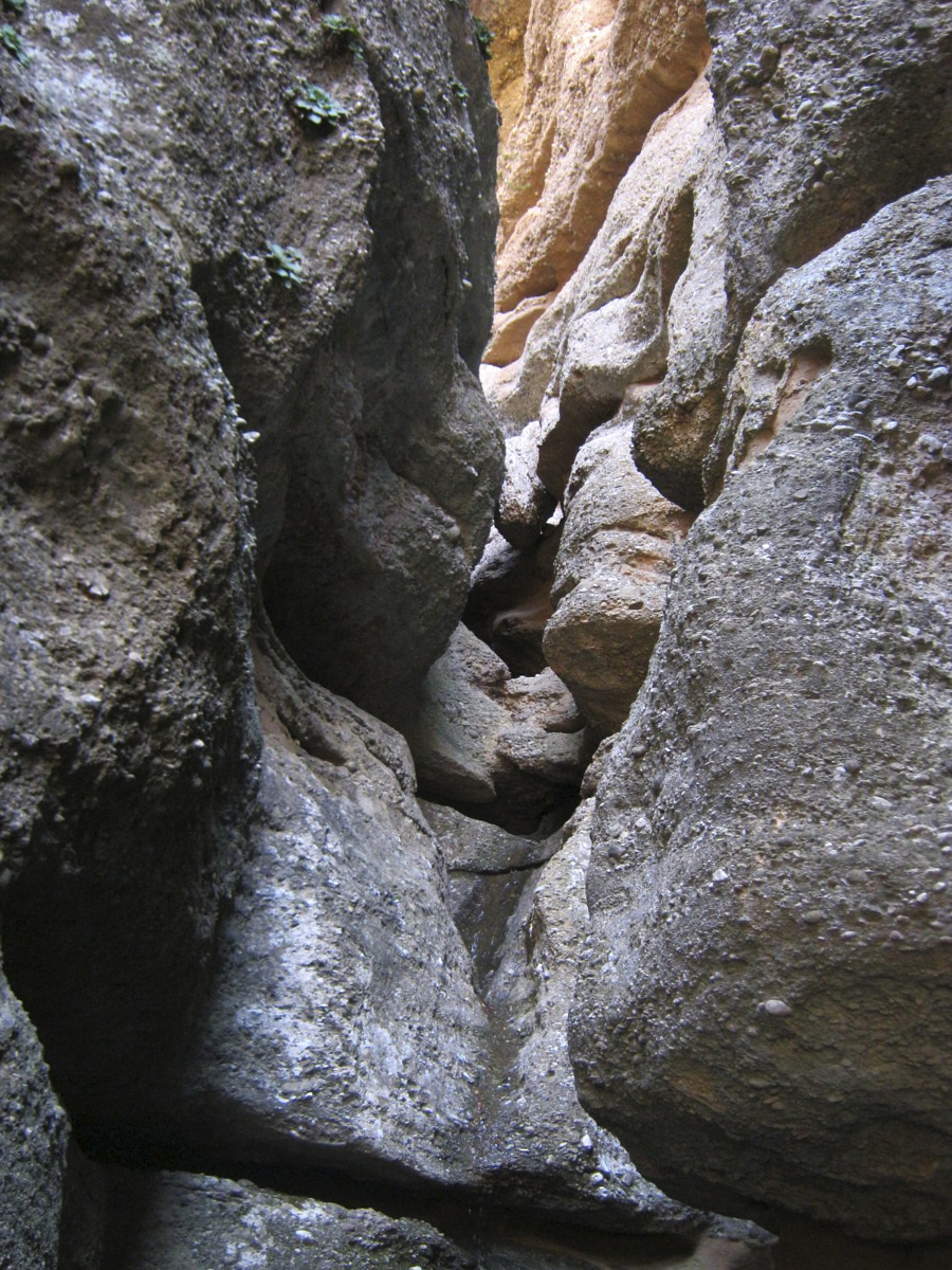
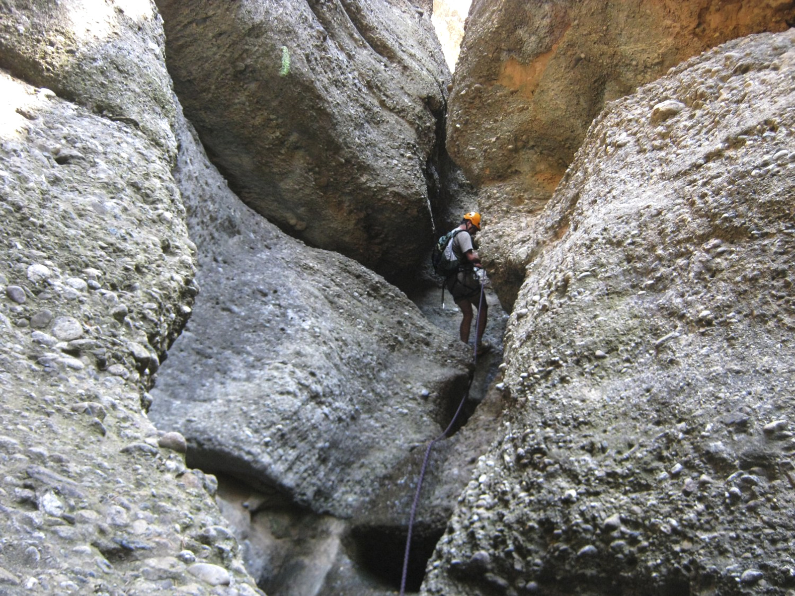
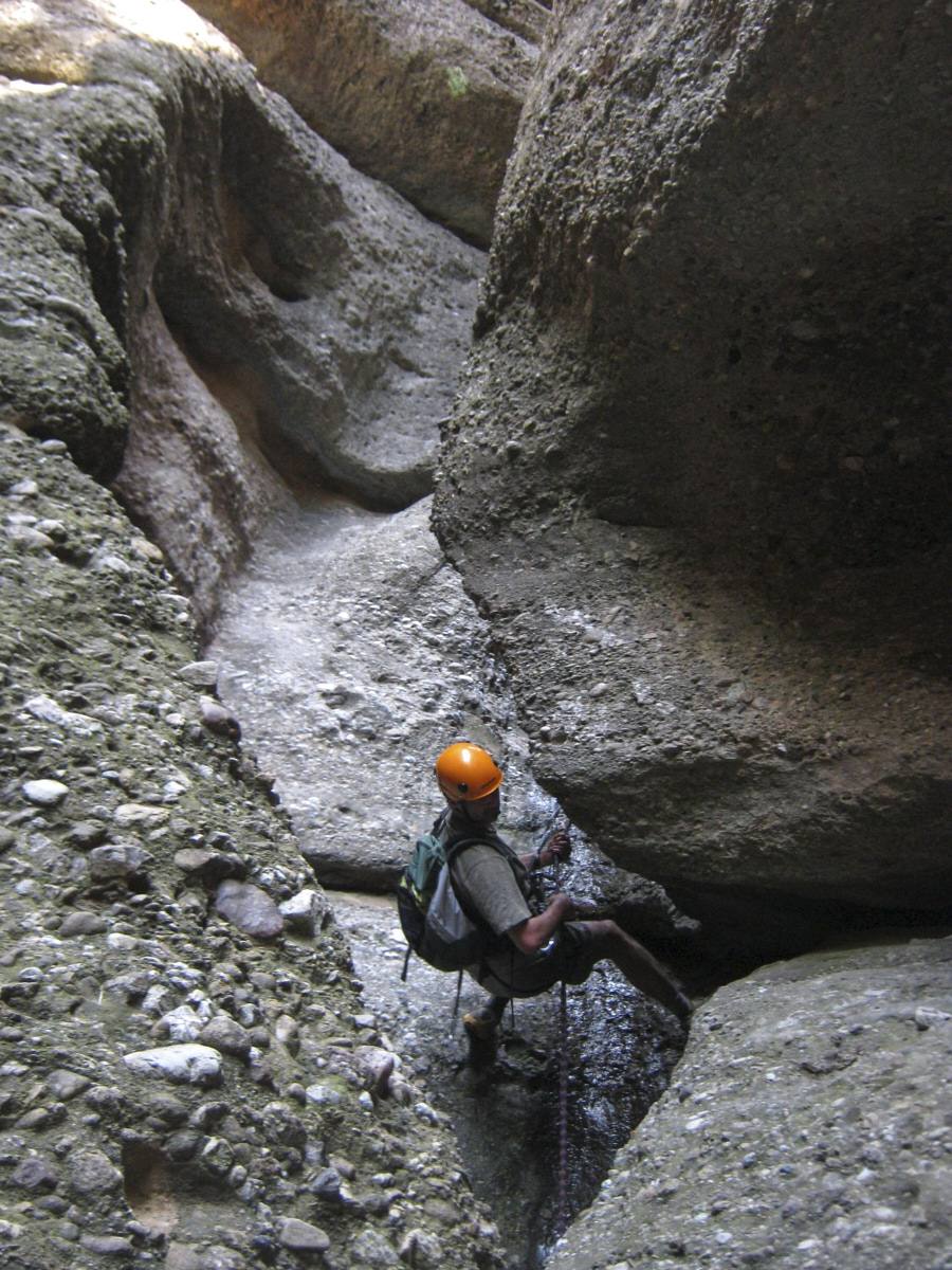
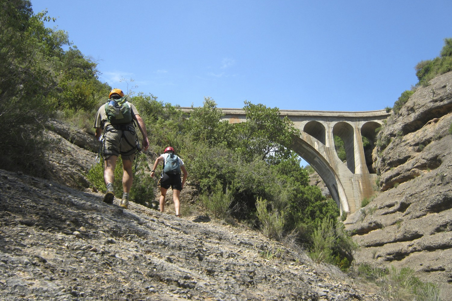
Located in the Somontano region, east of the rio Vero canyon, this barranco is a real beauty, especially the steep, steep and narrow final section, with its stunningly colorful chiaroscuro atmosphere. However, the descent is far from straightforward, with a number of tricky, exposed passages in opposition to each other in the first section and a pair of narrow, winding abseils in the second. Although the barranco is dry, the potholes tend to retain rainwater, and some are quite deep and almost unavoidable. As you climb back up the western slope towards Arcusa, a bend in the road gives you an ideal view from above of the route from the starting cirque to the exit under the bridge.
❱❱ Technical summary
Location ✦ Colungo, Asque
Region ✦ Sierra de Guara, Aragon
Country ✦ Spain
Type ✦ Torrential township
Vertical rise ✦ 140m
Difficulty ✦ v3-a1-III
Max abseiling ✦ 15m
Duration ✦ 2h30 to 3h
Distance ✦ 800m
❱❱ Access to the place
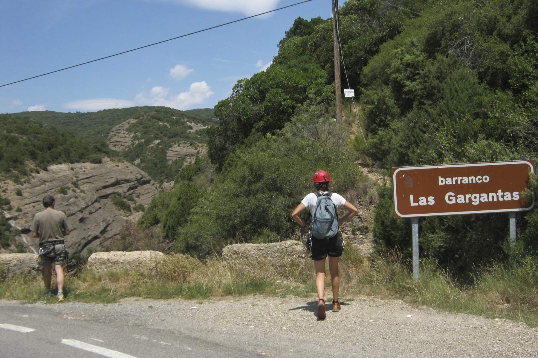
From Leida (A2) continue towards Huesca. Just before Huesca, turn right towards Abiego, then Bierge, and head for Colungo on the A-2205. Once through the village, continue north towards Arcusa. The road climbs and passes through a small hamlet (Asque). Continue on to find a bridge over the Fornacal at km 26 with a sign reading "Barranco las Gargantas". Park just ahead on the left.
❱❱ Map & topo

❱❱ Itinéraire
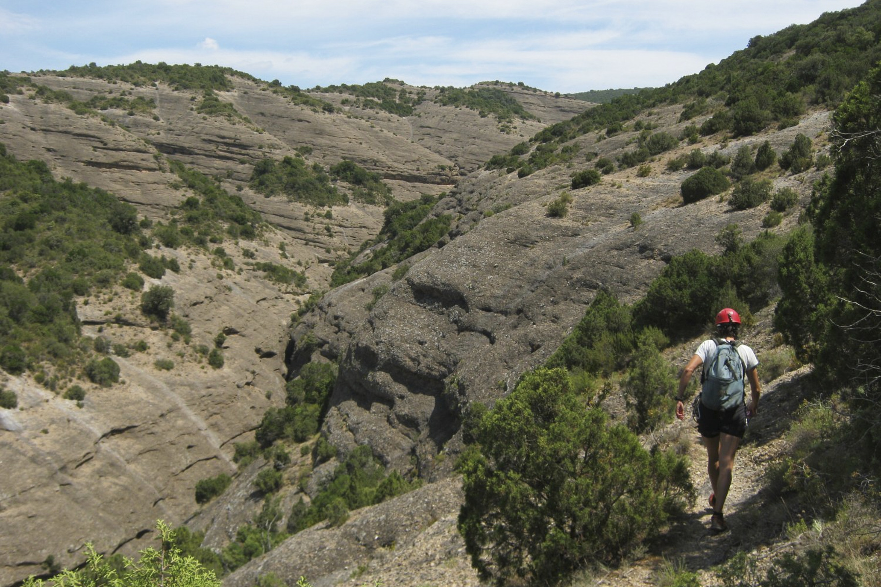
Take the path just behind this sign, on the east side of the bridge. It climbs a little and then the path goes up to the head of the Sarratanas barranco, where you can see a large flattened cirque in the shape of a large basin: the impluvium, a large rainwater collector. No difficulty, but the path is vaguely marked and there are some exposed passages on the left. All in all, stay on the flank and level almost all the way to the top of the canyon.
The canyon was opened in 1990 and is part of the Fornacal basin.
We pass through an area of chaos where we have to go over and under to finally emerge in the bed of the Fornacal at the level of the long bridge from which we started. Cross due south under the bridge and a little further on, on the right, in a less steep area, you'll find an improvised path leading up to the road, a little above the bridge.
Topo du Sarratanas on Descente Canyon


Leave a Reply