


TOPO Hiking | CLIMBING7.COM
Publié le
 Partager sur WhatsApp
 Partager sur Twitter
Partager sur Instagram
Partager sur Twitter
Partager sur Instagram

 Partager sur Facebook
 Imprimer le topo
 Laisser un commentaire

Entering western Madagascar, at the gateway to Morondava and the Tsiribihina. Starting from the town of Miandrivazo, on the border between the Merne and Sakalava territories. The trail follows the ridges, with little change in altitude but a panoramic view of the Mahajilo riverbed, which you eventually reach to walk alongside before returning to Miandrivazo. A pleasant loop if you're stopping off in the area, before heading off towards the Tsiribihina river. This is the second stage of the Trail de l'Île Rouge 2018.
❱❱ Technical summary
Type ✦ Randonnée / Trail de l'Île Rouge, Stage 2
Location ✦ Miandrivazo
Region ✦ Morondava
Country ✦ Madagascar
Length ✦ 14.8kms
Elevation gain ✦ 355m
Difficulty ✦ MD
Duration ✦ 3h to 4h
Interest ✦ ★
❱❱ Access to the place
From Antananarivo, take the RN7 due south to Antsirabe. From there. Turn left, due west, onto the RN34 for over 200 km of more or less damaged asphalt to Miandrivazo. A spectacular and wild road. Go to the Hôtel Princesse Tsiribihina, the local base camp.
❱❱ Map & topo
❱❱ Itinéraire
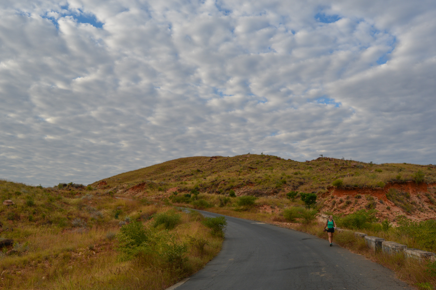
Take the road back to the village from the hotel and stop at the entrance on the right-hand side, almost in line with the large antennae standing out on the ridge (approx. 1km from the hotel).
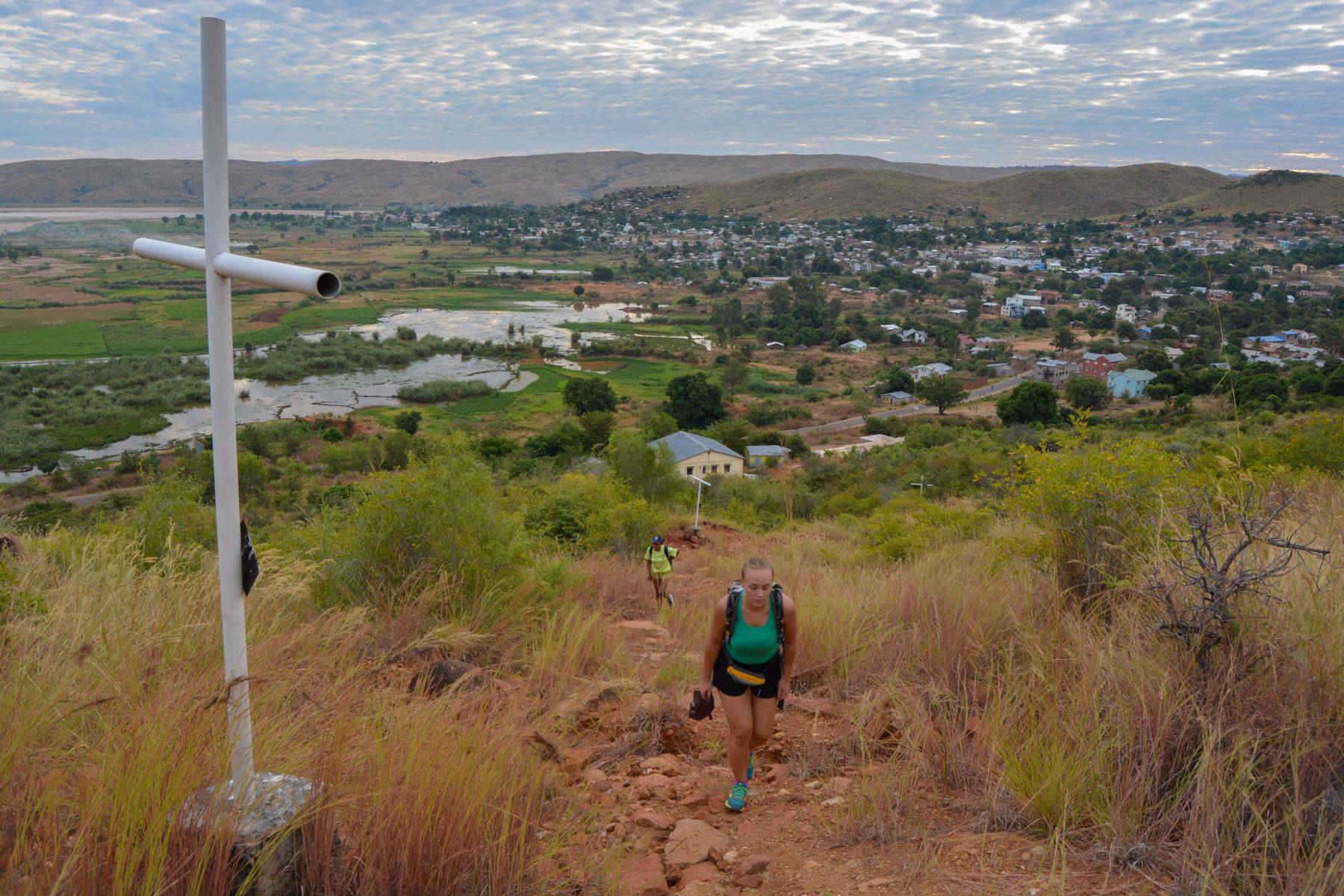
Unmarked itinerary except for the initial ascent, which is in fact a way of the cross. The rest of the route follows marked paths criss-crossing the ridges.
This is where most of the ascent takes place. The trail winds up the hillside and up all the white crosses to the summit where the large antennae are located. It doesn't take long to gain height, with an aerial view of the banks of the Mahajilo.
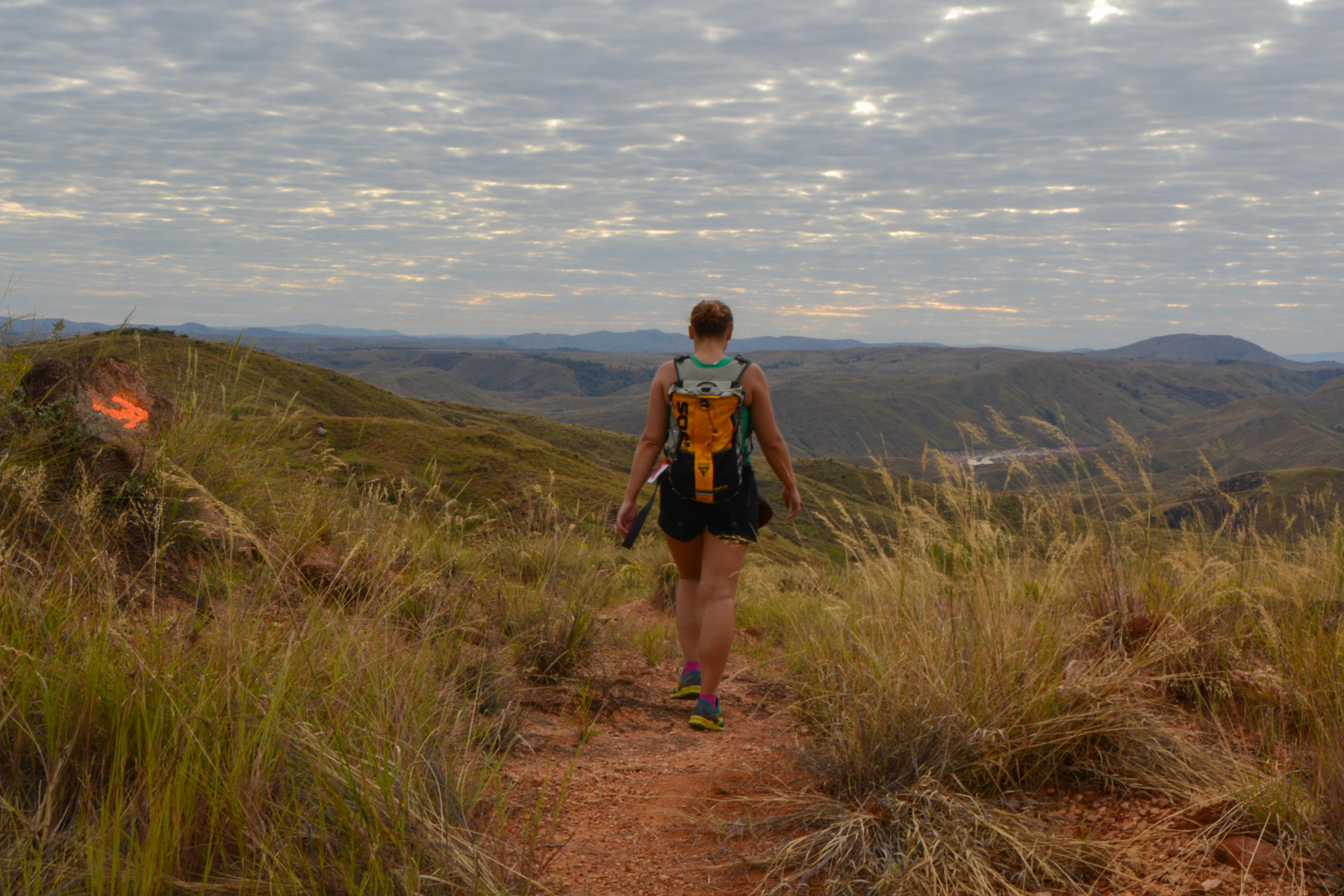
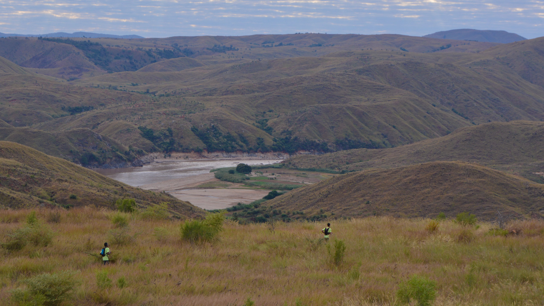
The route stays more or less on the ridges, with a few depressions to cross. Rolling along, lost in an immense savannah, it feels as if we could go on like this ad infinitum. We cross the RN34 to head back north, and further on we discover one of the meanders of the Mahajilo. The trail then gradually descends to reach the banks of the river.
This time, the trail follows the Mahajilo upstream, with no real difference in altitude. The views of the river are beautiful, and you can see pirogues moving silently along in an absolutely wild setting. Gradually, after several sharp bends, the trail reaches the first houses in Miandrivazo.
Cross the village until you reach the asphalt for 3/4 km to the Tsiribihina hotel, on foot (45') or by rickshaw.


Leave a Reply