


TOPO Hiking | CLIMBING7.COM
Publié le
 Partager sur WhatsApp
 Partager sur Twitter
Partager sur Instagram
Partager sur Twitter
Partager sur Instagram

 Partager sur Facebook
 Imprimer le topo
 Laisser un commentaire
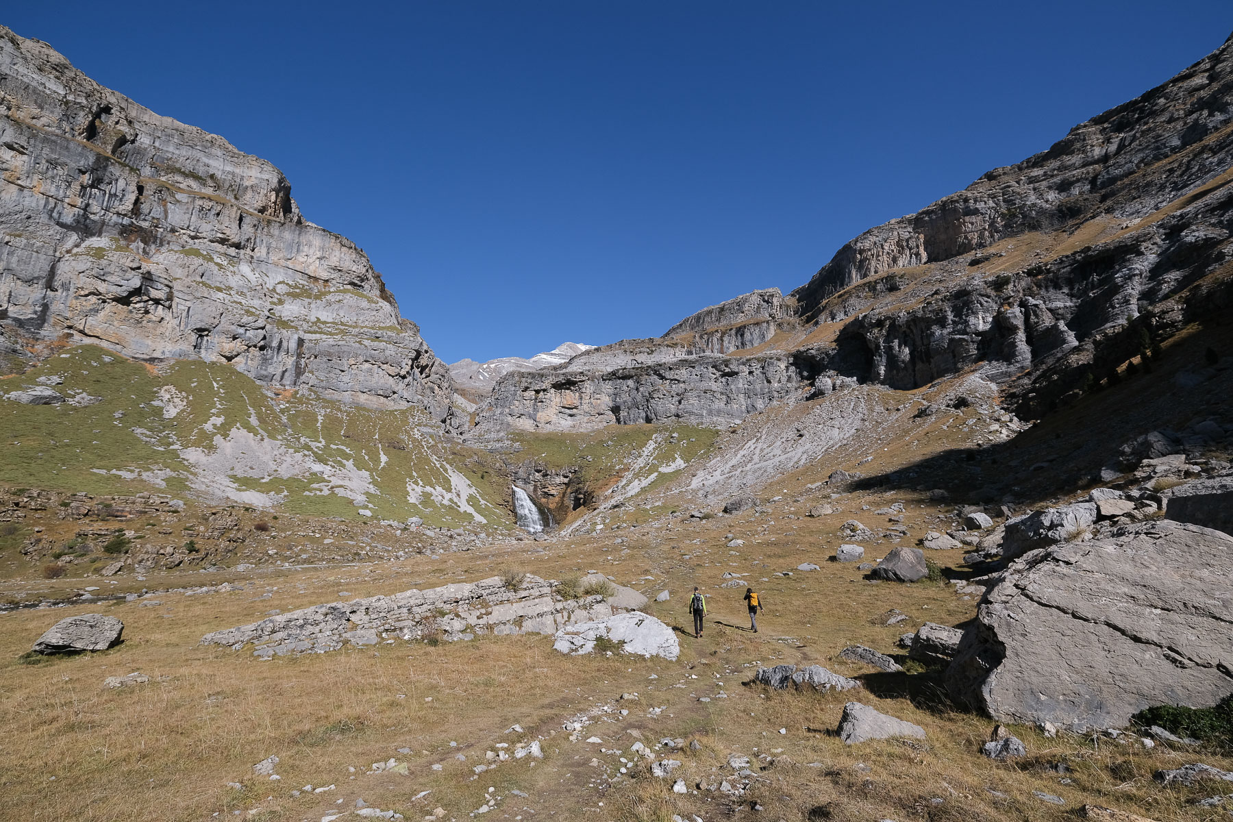
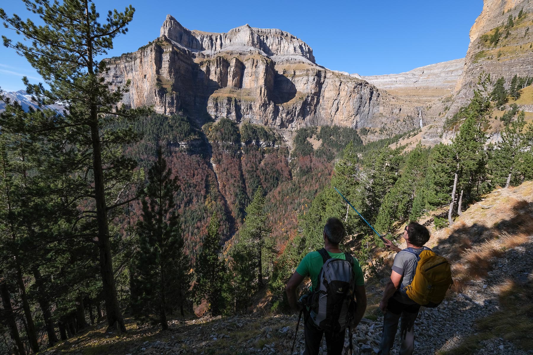
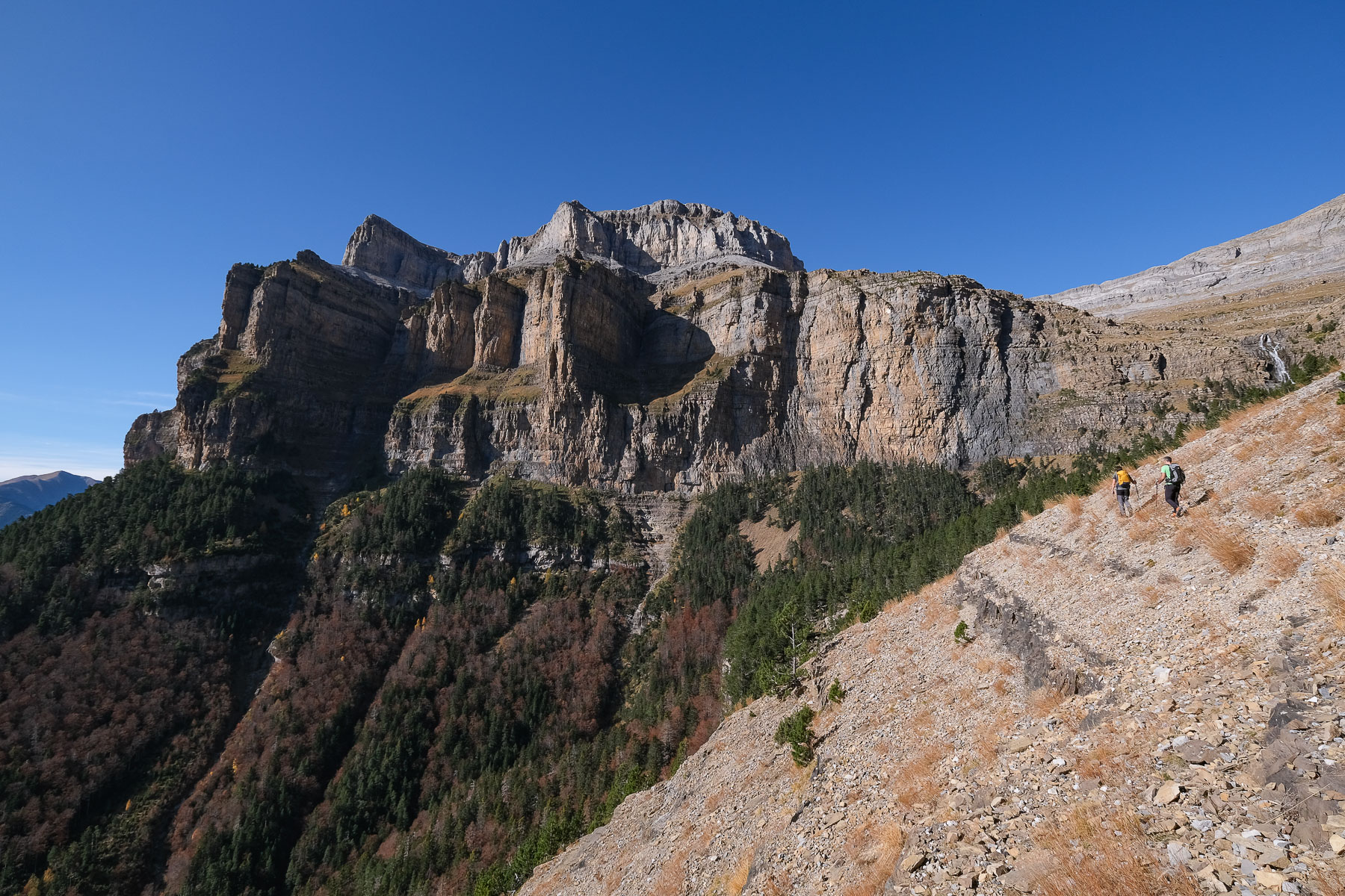
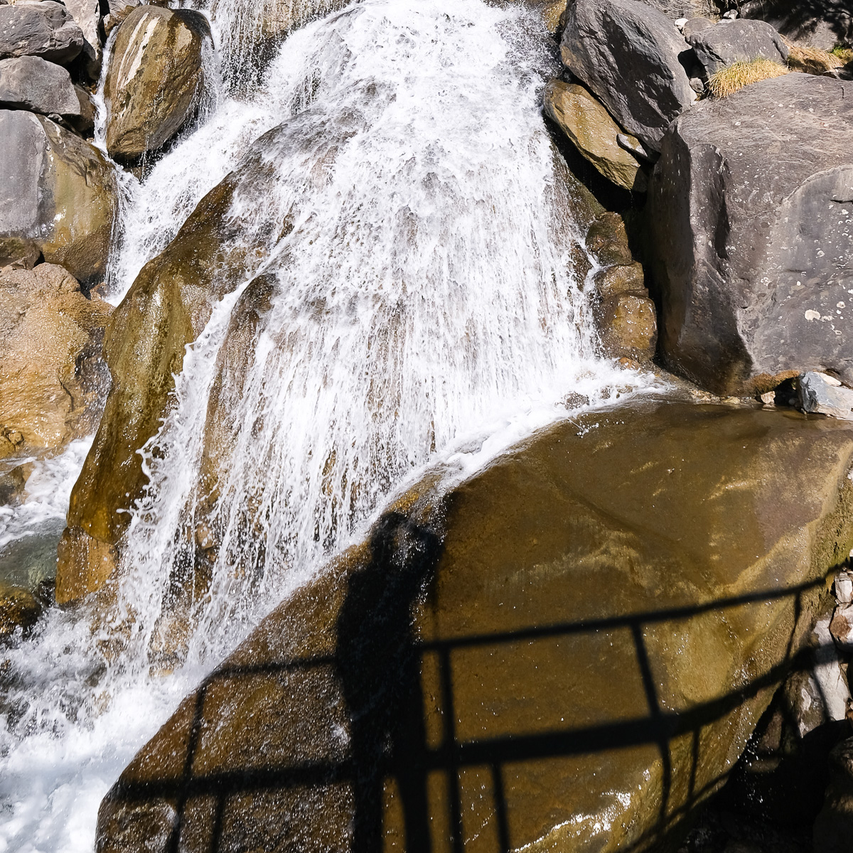
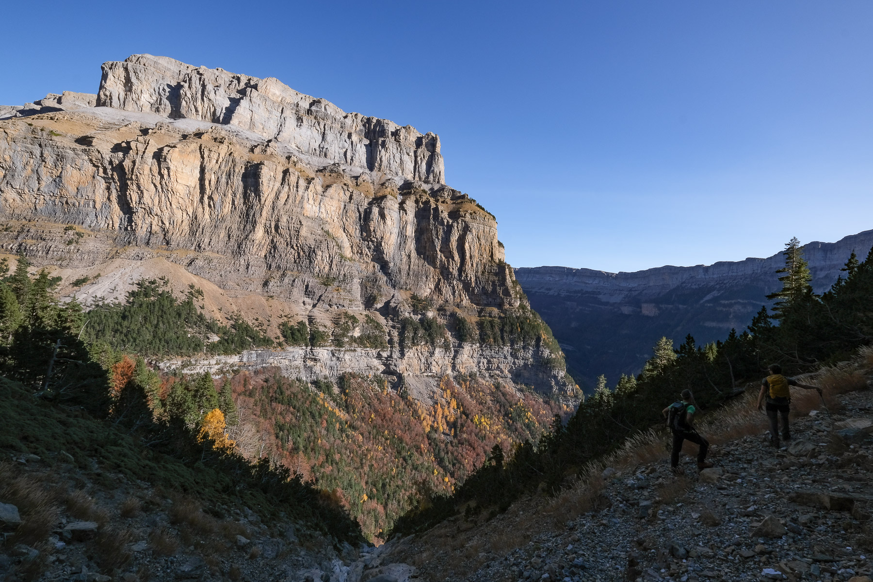
This is an exceptional hike to discover the grand canyon of Ordesa, a large glacial valley in the Aragonese Pyrenees, at the foot of the Monte Perdido massif. Following a series of fajas or mid-height ledges between the Arazas river and the immense sculpted upper walls, the panoramas are spectacular from start to finish, particularly in autumn with the mosaic of forest colors and snow-capped peaks that dominate the valley. The route forms a long loop from west to east, criss-crossing the canyon almost in its entirety as far as the imposing Cola del Caballo waterfall, before returning under the Tobacor massif to the Tozal del mallo, passing several hundred metres below the famous Faja de los Flores we've already covered. An unmissable route in the Pyrenees!
❱❱ Technical summary
Type ✦ Hiking
Location ✦ Torla, Ordesa and Monte Perdido National Park
Region ✦ Sobrarbe, Aragon
Country ✦ Spain
Orientation ✦ North then South
Max altitude ✦ 2190m
Distance ✦ 23.5km
Vertical drop ✦ 1755m
Difficulty ✦ E4 / T2 / R3
Duration ✦ 7h to 8h30
Interest ✦ ★★★
❱❱ Access to the place
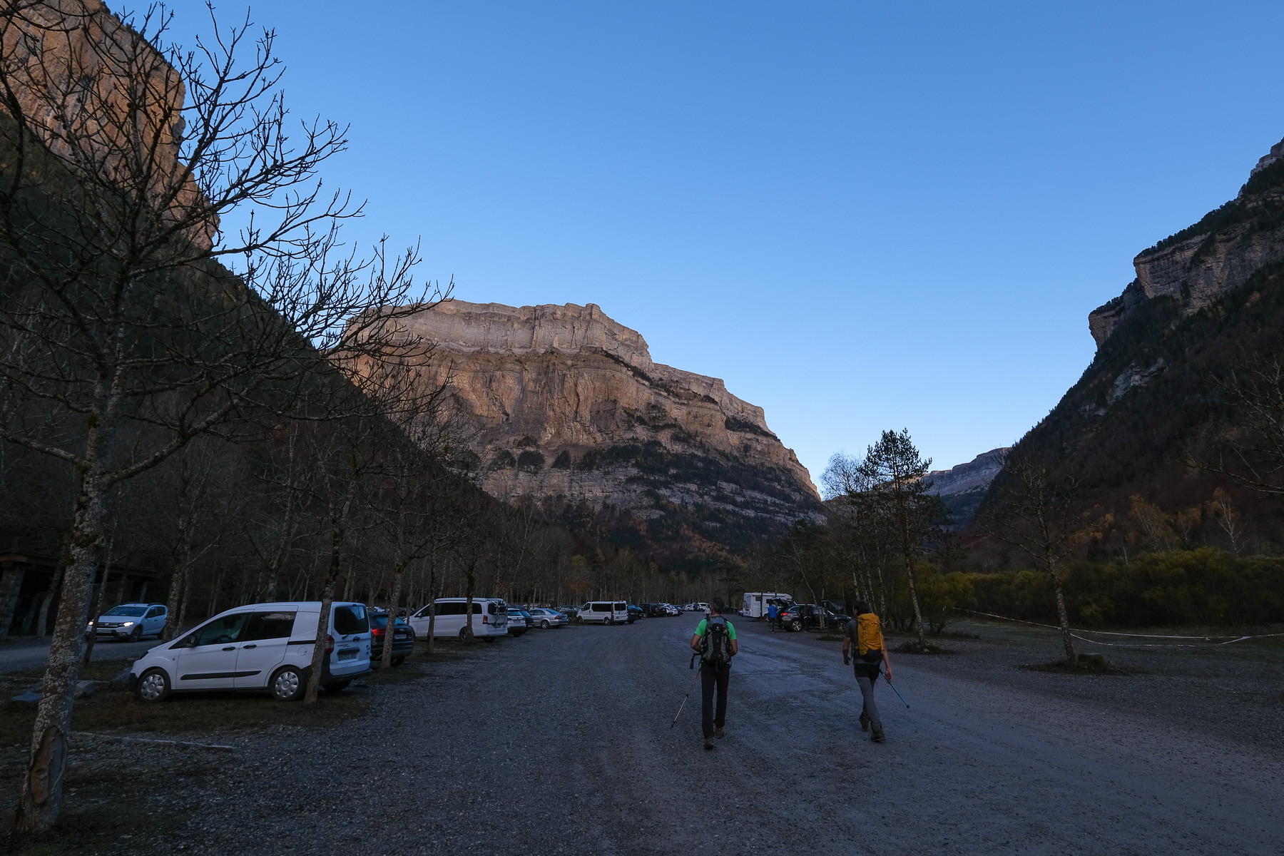
On the N-260 between Ainsa and Jaca in northern Aragon, turn off at Fiscal onto the N-260a and head north. Pass Broto and then Torla. Shortly afterwards, leave Bujaruelo on your left and take a right up a winding road to the Pradera parking lot. In high season, the road to the parking lot is closed, but a shuttle bus from Torla provides access to the national park and the start of the hikes.
❱❱ Map & topo
❱❱ Itinéraire
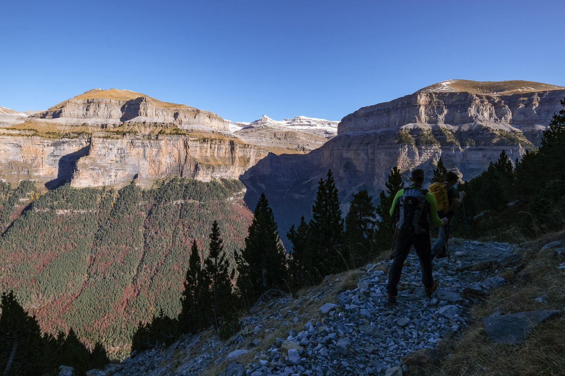
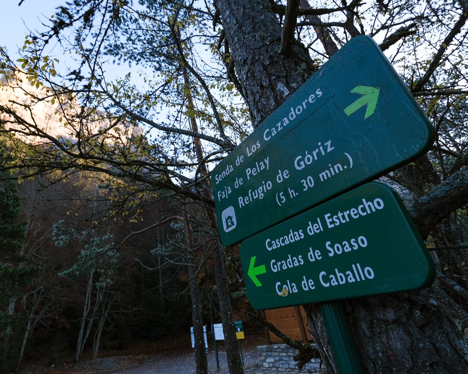
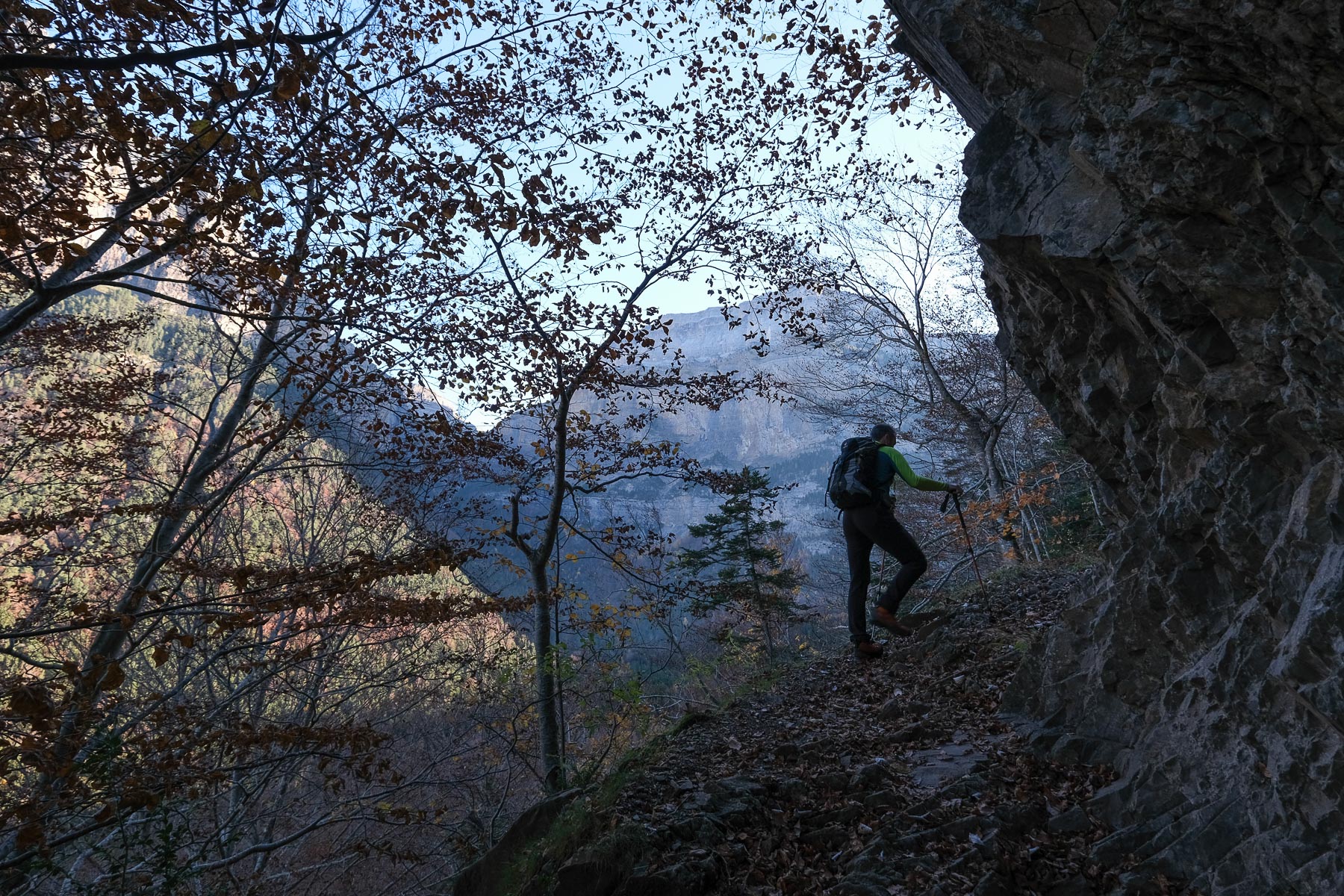
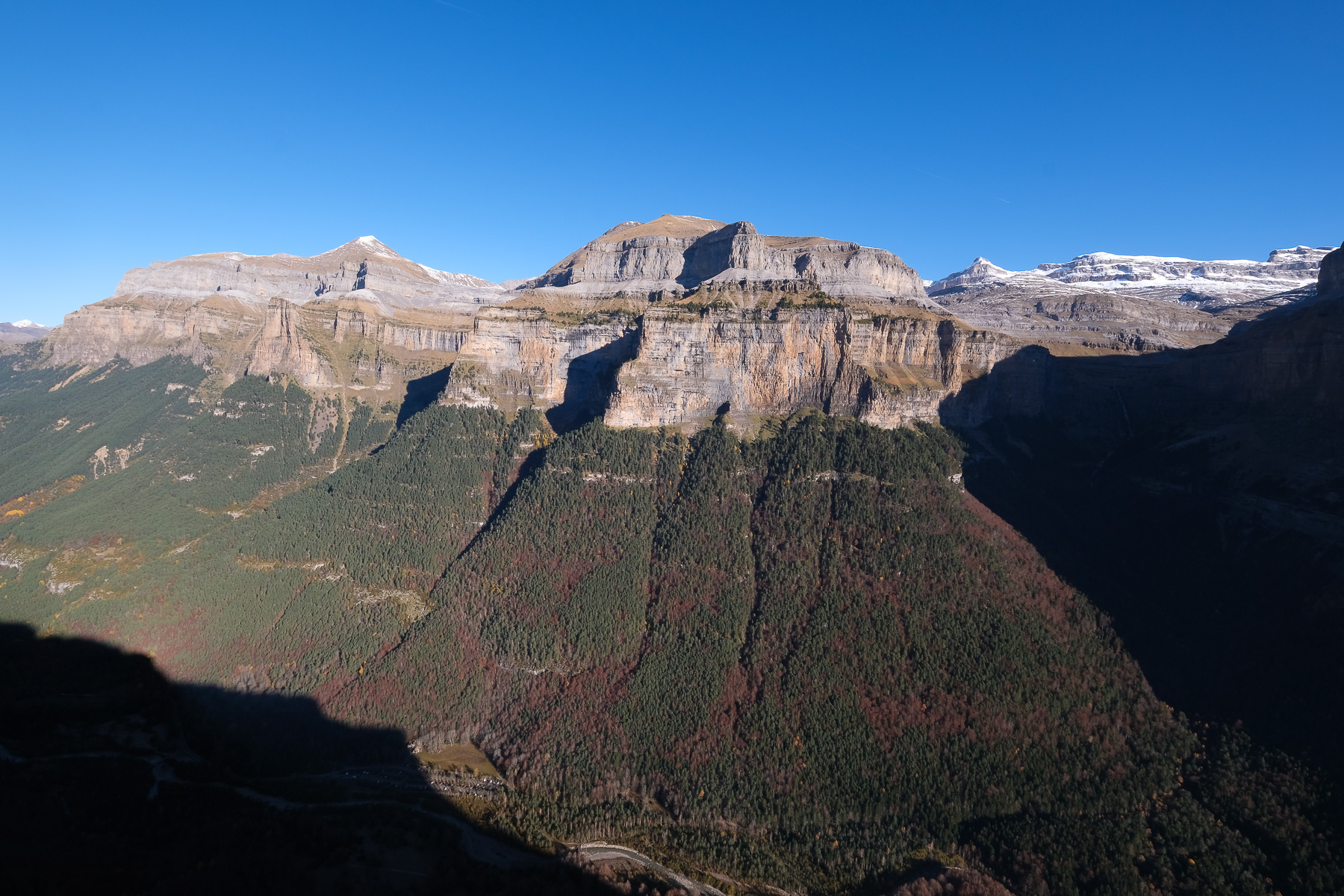
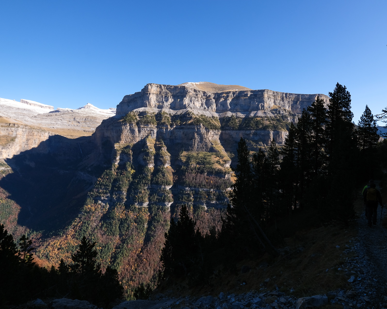
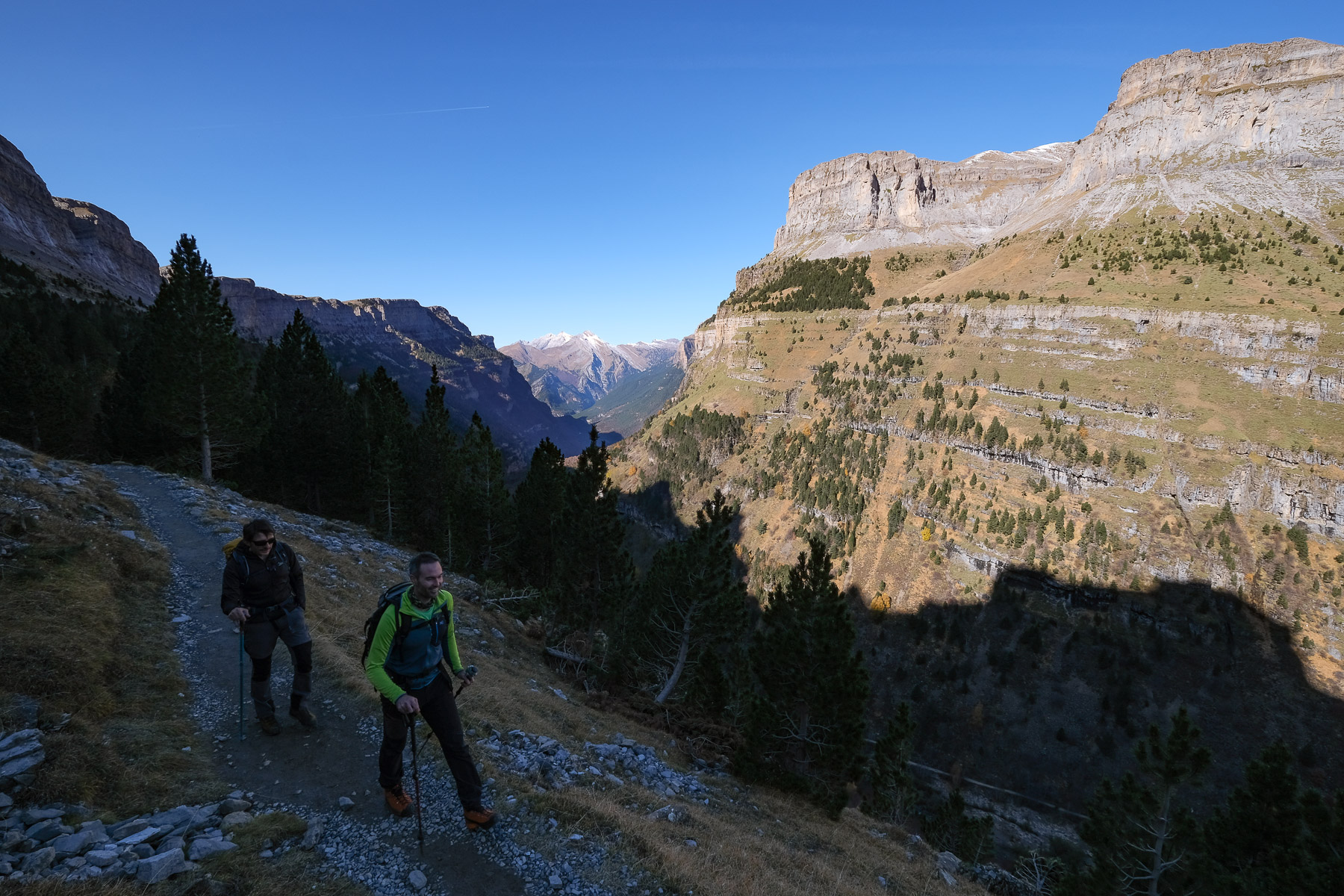
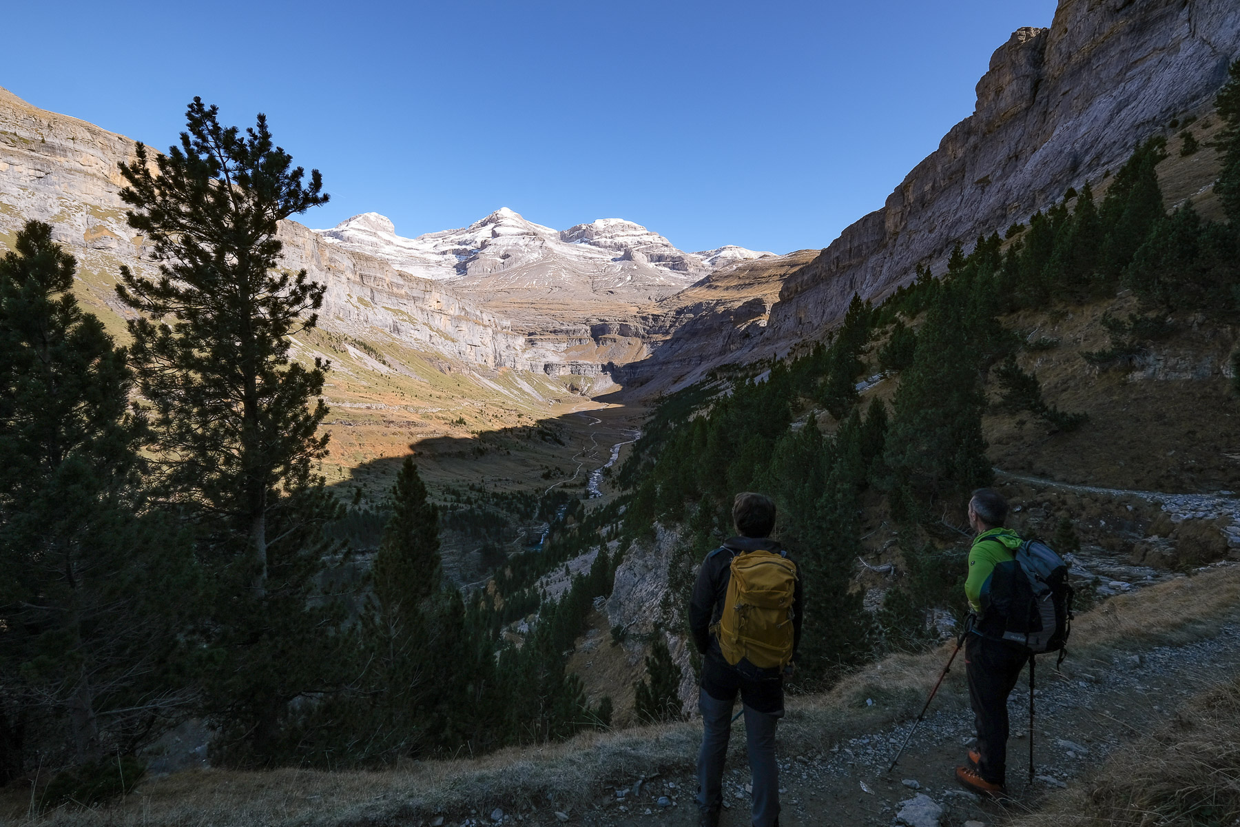
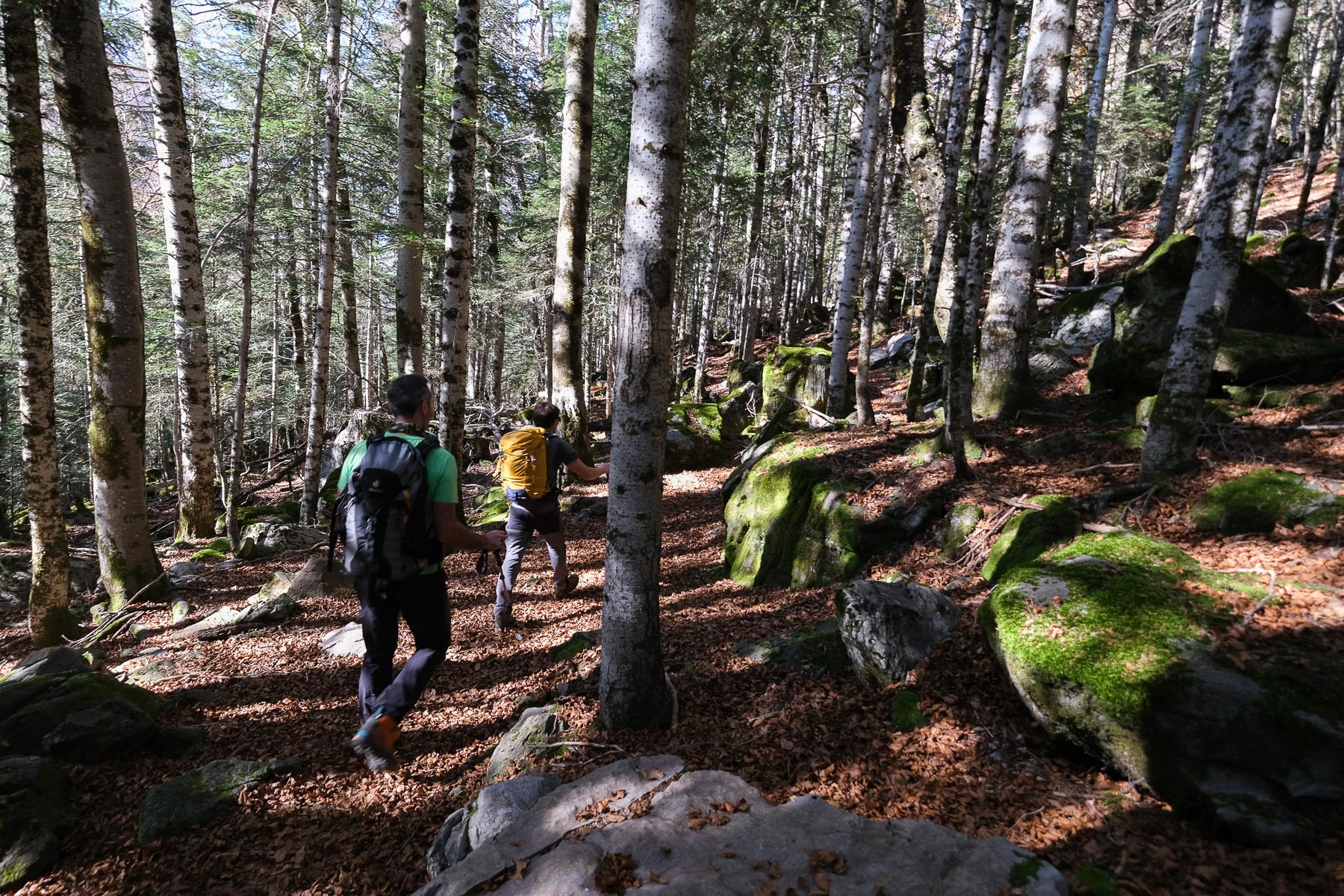
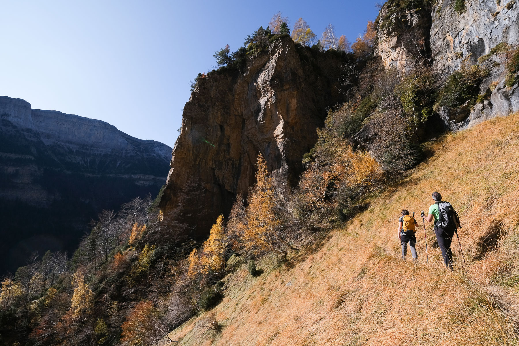
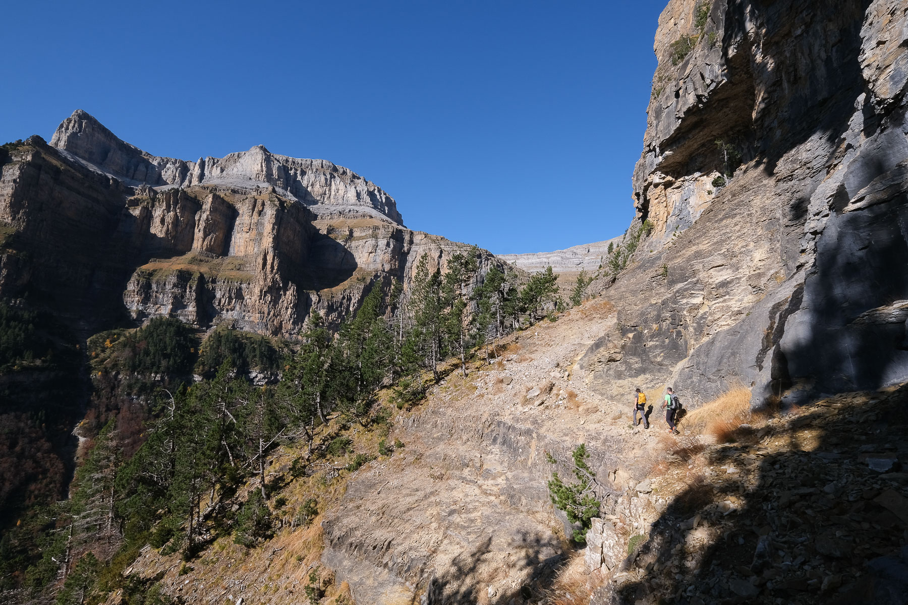
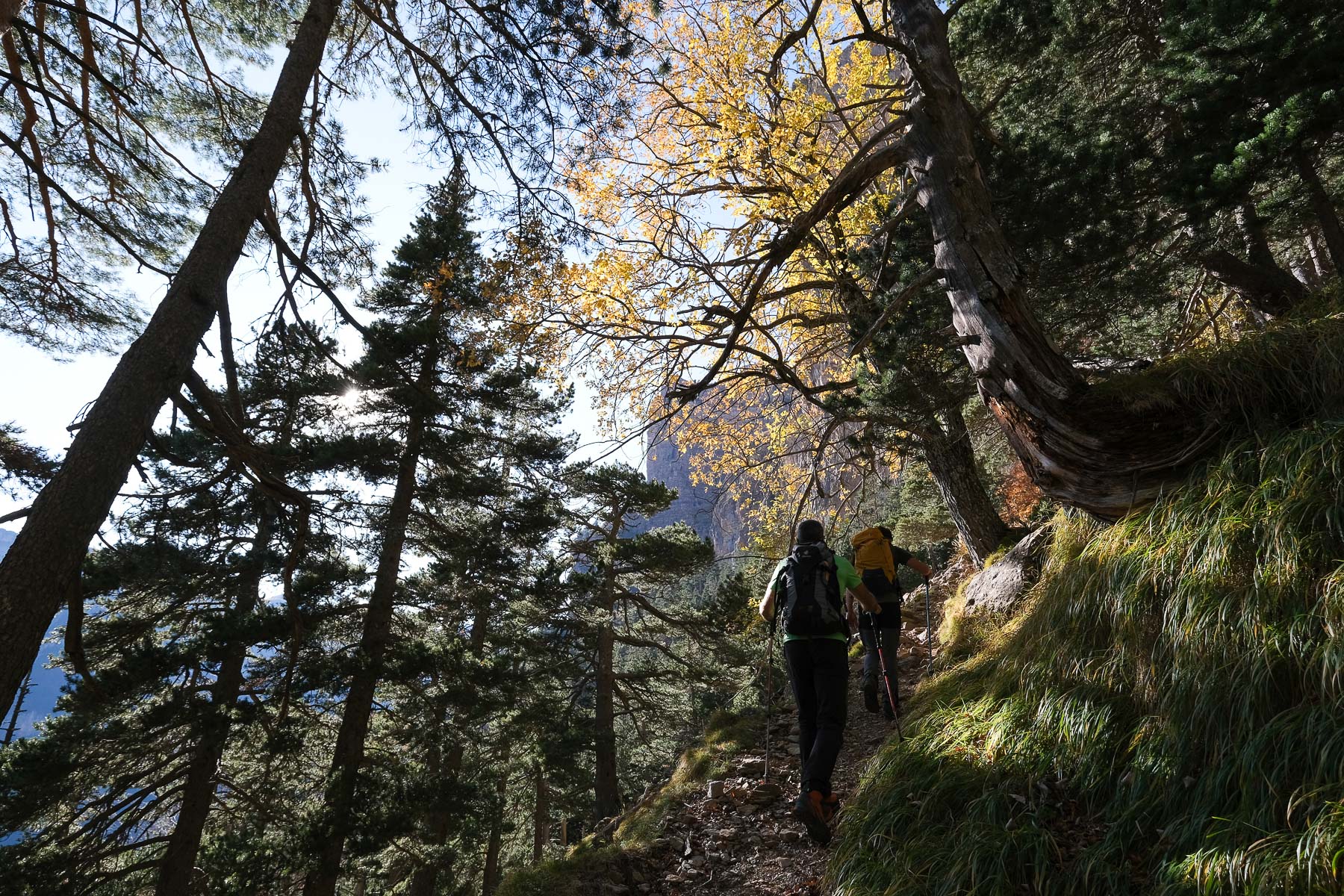
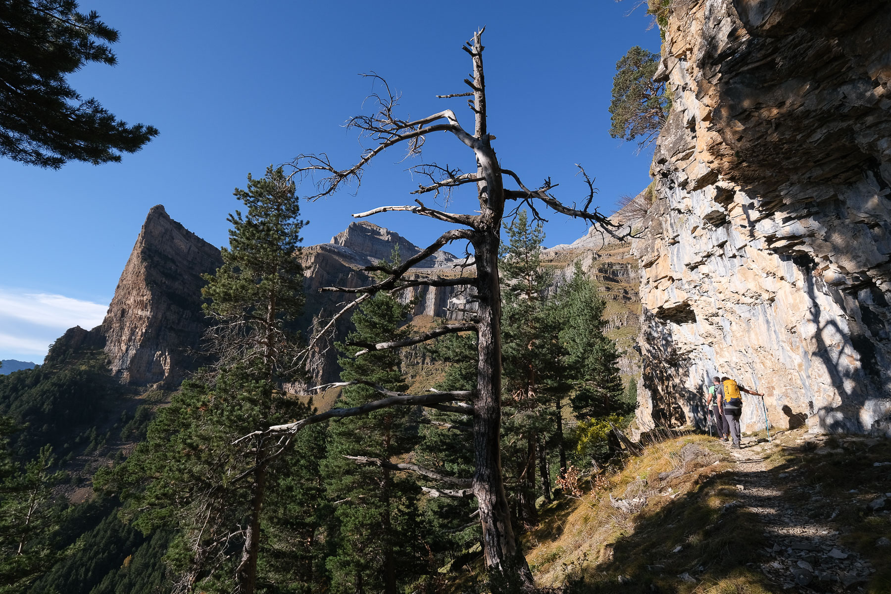
From the bottom of the parking lot, take the path marked senda de los Cazadores and Faja Pelay. Cross the Rio Arazas and head straight for the walls on the senda de los cazadores. The well-marked forest path climbs steadily and yawingly, gradually approaching the upper walls. We're in the shade on a north-facing slope. Between the trees, you can start to enjoy views of the opposite walls and the Tozal del Mallo peak. After about 1 hour's ascent, there's a crossroads. Leave the ridge-climbing path on your right and climb back eastwards. You'll soon reach the Calcilarueggo viewpoint, an exceptional hanging balcony with an incredible view of the canyon, the opposite walls, the Cotatuero cirque and the snow-capped peaks of the Monte Perdido massif: the helmet and shoulder of Marboré. There's also a small wooden shelter in case of bad weather. An unmissable postcard photo!
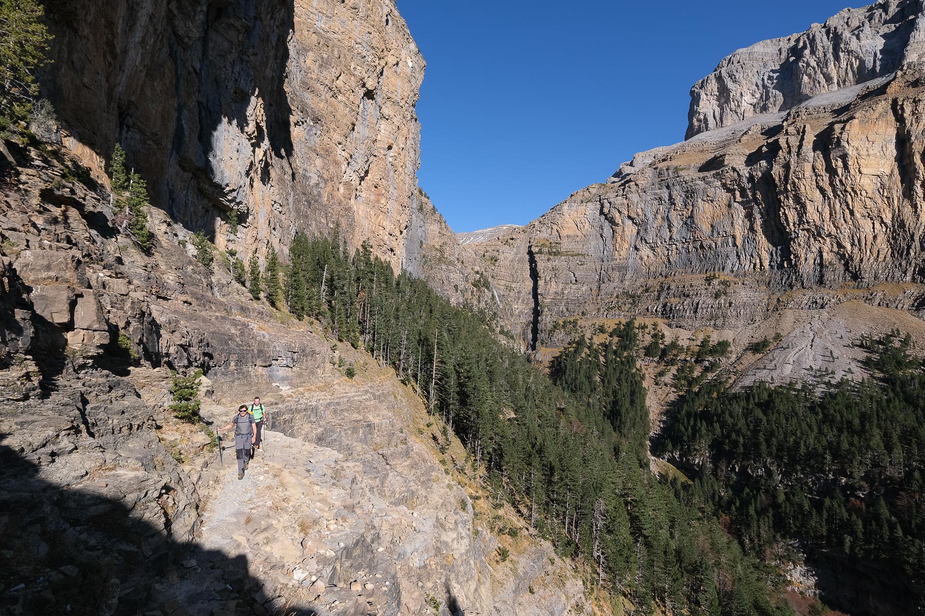
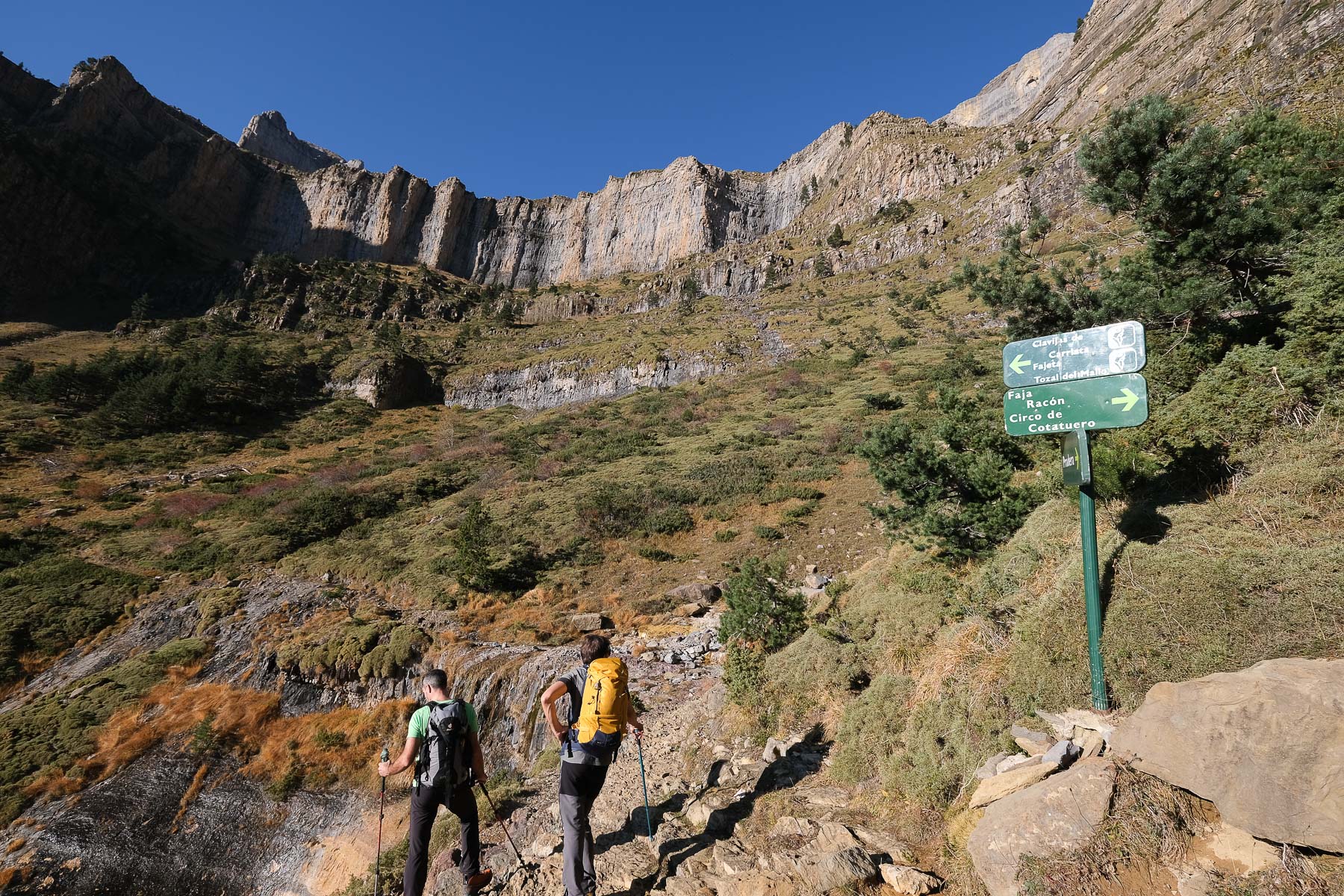
The hike is essentially difficult in terms of distance and altitude difference, which are considerable for a day outing. The Fajas Petrals and Racon, in particular, are particularly exposed. Orientation is facilitated by well-marked (though unmarked) trails and signposts at every junction. The route can also be done in the opposite direction, as suggested on the topopyrenees.com website. The route can also be divided into 2 shorter hikes: the Faja Pelay / Cola del Caballo loop and the Faja Canarellos, Petrals, Racon and Luenga loop.
From the fork, below the Cariatta cirque, descend through open country and then forest, on a rather steep path. Much lower down, the slope becomes gentler and you start to head back east. Finally, the path joins the road, which we follow a little further to reach the Pradera parking lot.
Topo of the loop on the topopyrenees.com website.


![2017-08-05_13-35-40 [Monte Rotondo]](https://climbing7.com/wp-content/uploads/2017/09/2017-08-05_13-35-40-monte-rotondo-1024x683.jpg "Monte Rotondo, Melo and Capitello, Corte")

Leave a Reply