


TOPO Canyoning | CLIMBING7.COM
Publié le
 Partager sur WhatsApp
 Partager sur Twitter
Partager sur Instagram
Partager sur Twitter
Partager sur Instagram

 Partager sur Facebook
 Imprimer le topo
 Laisser un commentaire

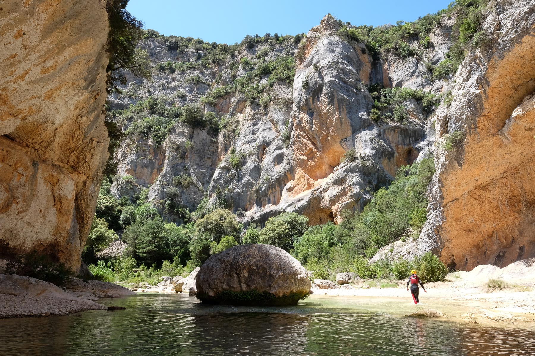
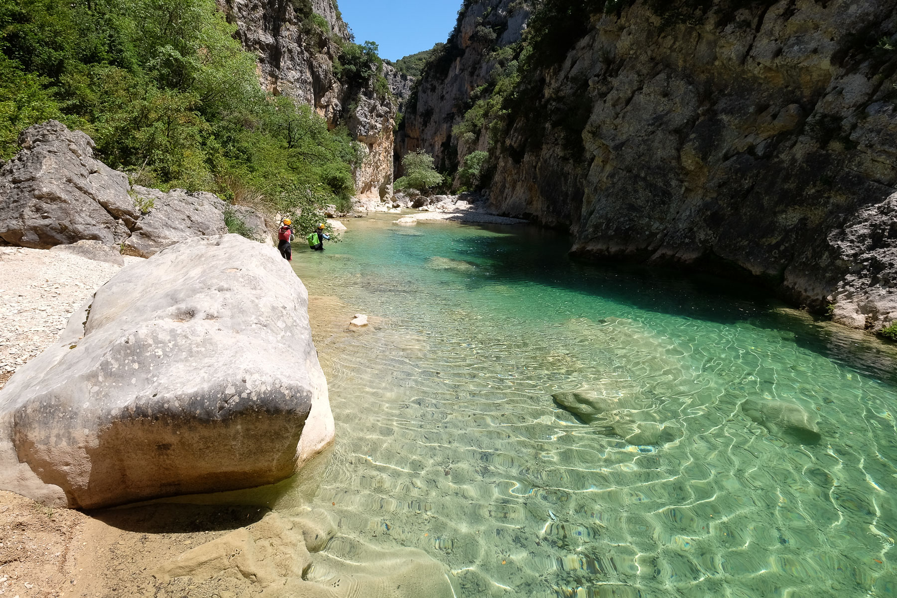
The descent of the lower part of the Peonera canyon follows the meandering, narrow channels formed by the Rio Alcanadre as it flows from the Sierra de Galardon between the Sierra de Guara and the Pyrenees. After the Gorgas Negras and Barrasil sections, 2 other emblematic descents of the area, the turquoise, translucent waters of the rio continue their journey in the upper and lower sections, between orange limestone walls and rocky chaos, forming narrow waterfalls, pools and biefs in an extraordinary wilderness atmosphere. A special mention for this descent, usually extremely busy, which we did alone in the world, a covid effect that seems to have kept the crowds of canyoneers away from the Sierra de Guara.
❱❱ Technical summary
Type ✦ Water canyon
Location ✦ Rodellar, Sierra de Guara
Region ✦ Aragon
Country ✦ Spain
Direction ✦ South
Downhill length ✦ 4.5km
Vertical drop ✦ 120m
Difficulty ✦ v2 - a3 - III
Duration ✦ 4h to 5h
Interest ✦ ★★
❱❱ Access to the place
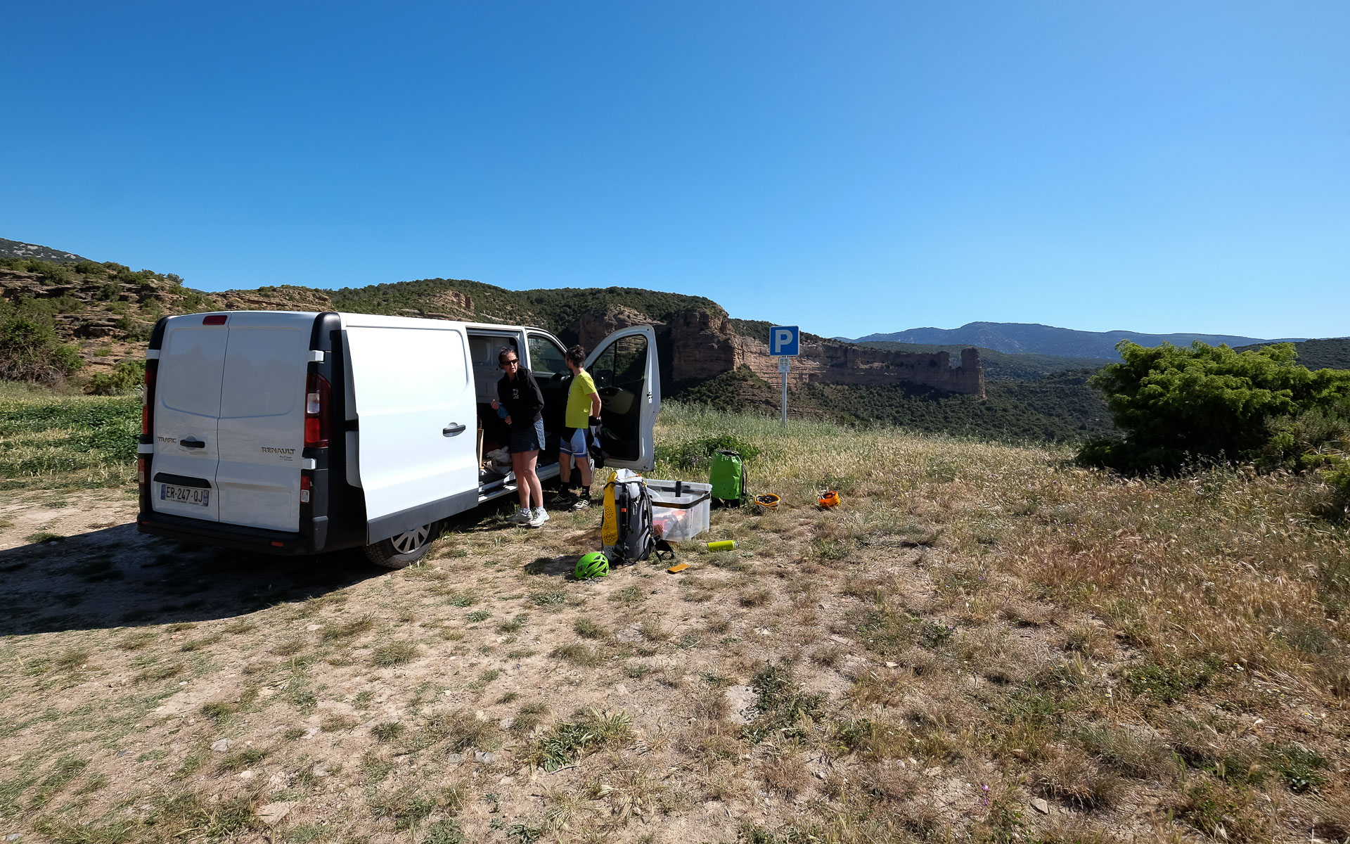
If you only want to do the final part of the Peonera Inferior, corresponding to the Estrechos de la Tamara, you can park on the road between Rodellar and Bierge (see topo on canyon descent). To do the entire Peonera Inferior, go to Morrano and follow the track leading to the viewpoint at Peña Falconera. Park here, which is also the return point.
❱❱ Map & topo
In blue, the approach and return for the complete descent of the Peonera Inferior. In purple, the approach to descend only the Estrechos de la Tamara.

❱❱ Itinéraire
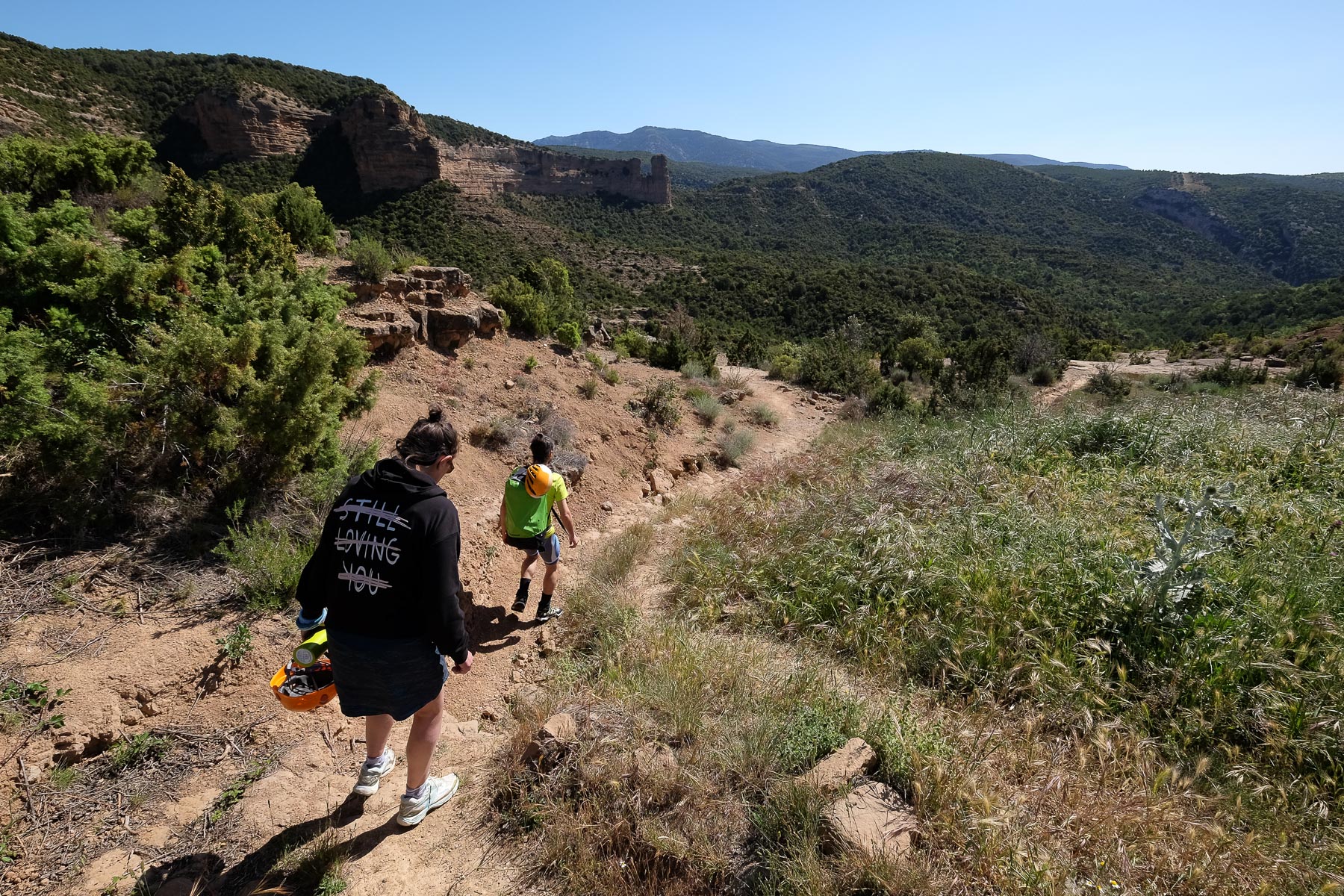
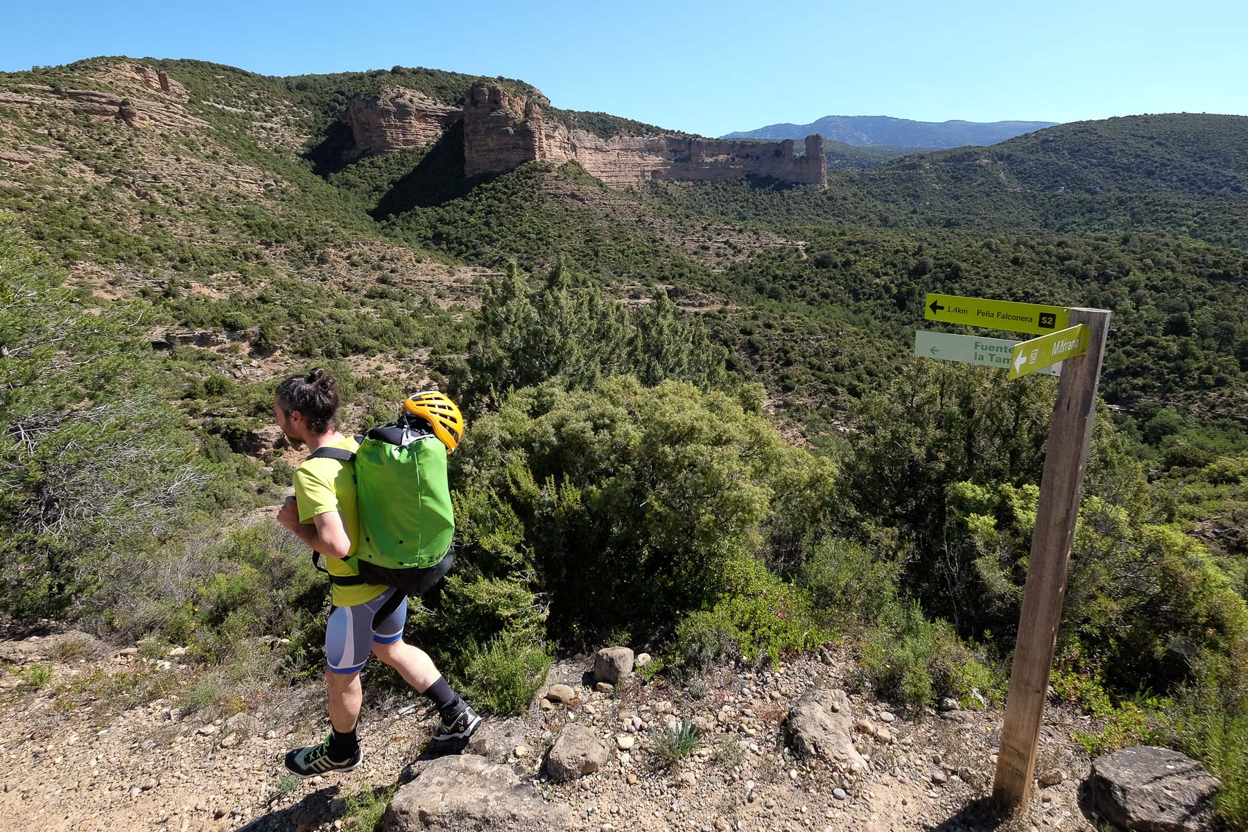
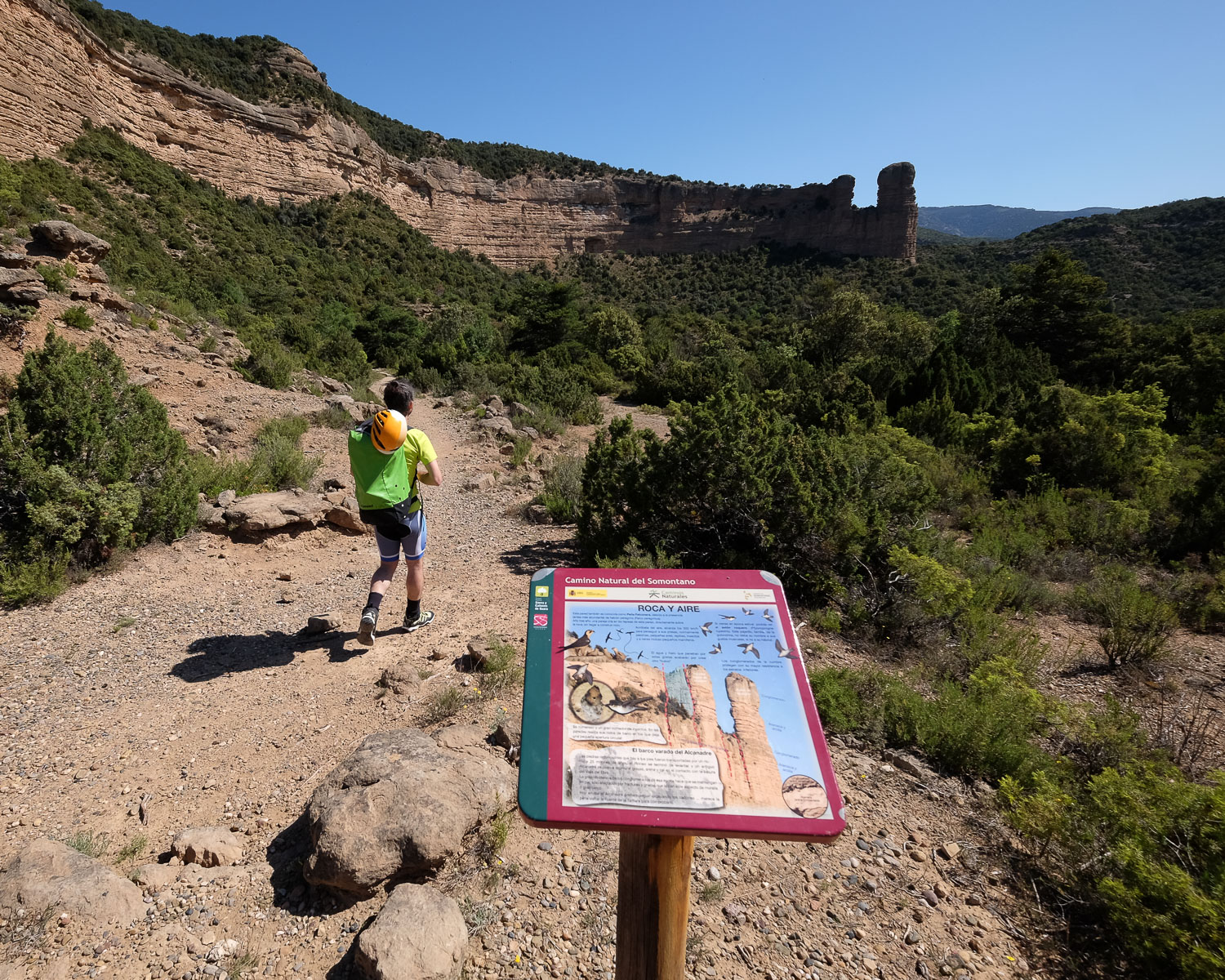
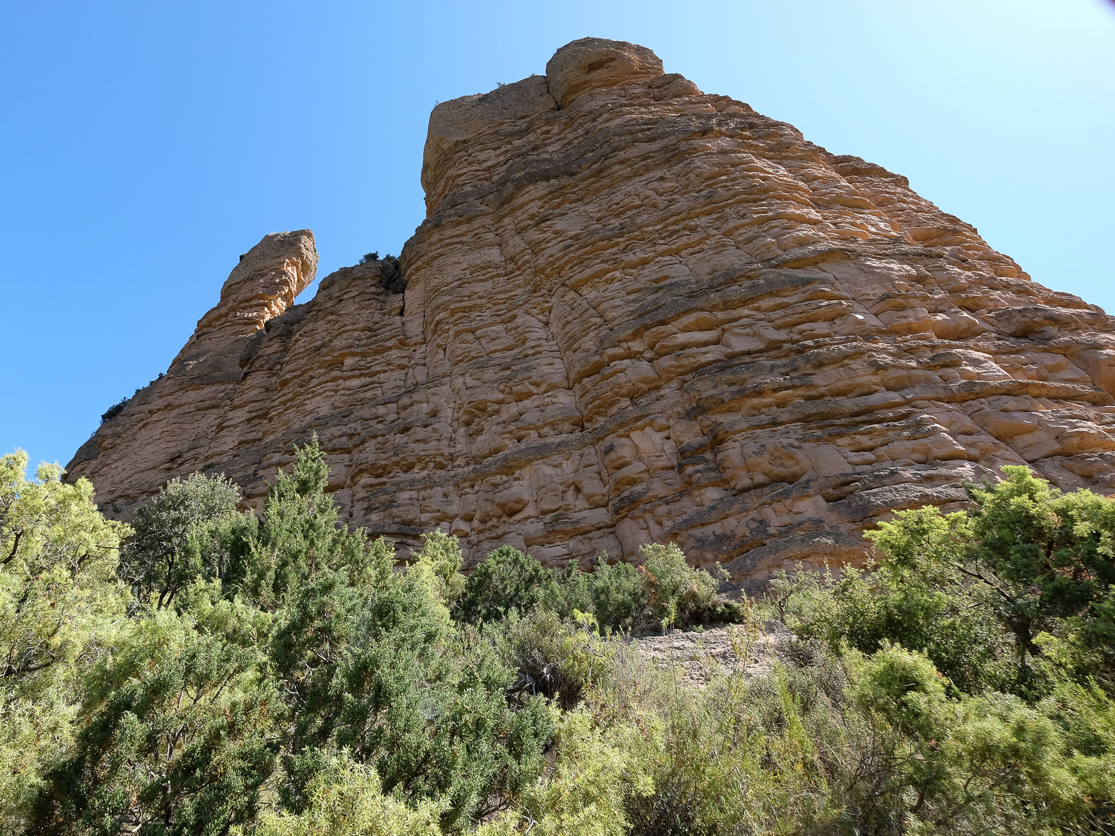
From the parking lot, follow the well-trodden path down to the Peña Falconera and the Fuente de Tamara. Continue gently downhill towards the characteristic Peña, also known as the Huevo de Morrano (Morrano's egg). Pass a second fork further down (return path to the right) and continue left, climbing a little to cross and finally pass at the foot of the sculpted walls and under the Huevo de Morrano. Immediately afterwards, we pass a small pass and finally descend into the undergrowth. A little further down, fork right (signposted Barranco de la Peonera). You'll soon see the rocky fault that shelters the Rio Alcanadre. All that remains is to descend a short, steep section over rock to reach the torrent in a bend. Here you can equip yourself for easy entry into the water.
A very aquatic route, with numerous long reaches to swim, and basins and other waterfalls to negotiate along the way. The canyon can be descended without equipment, in a simple wetsuit, but there are 3 cascades equipped for abseiling. In this case, you'll need at least a 10m rope.
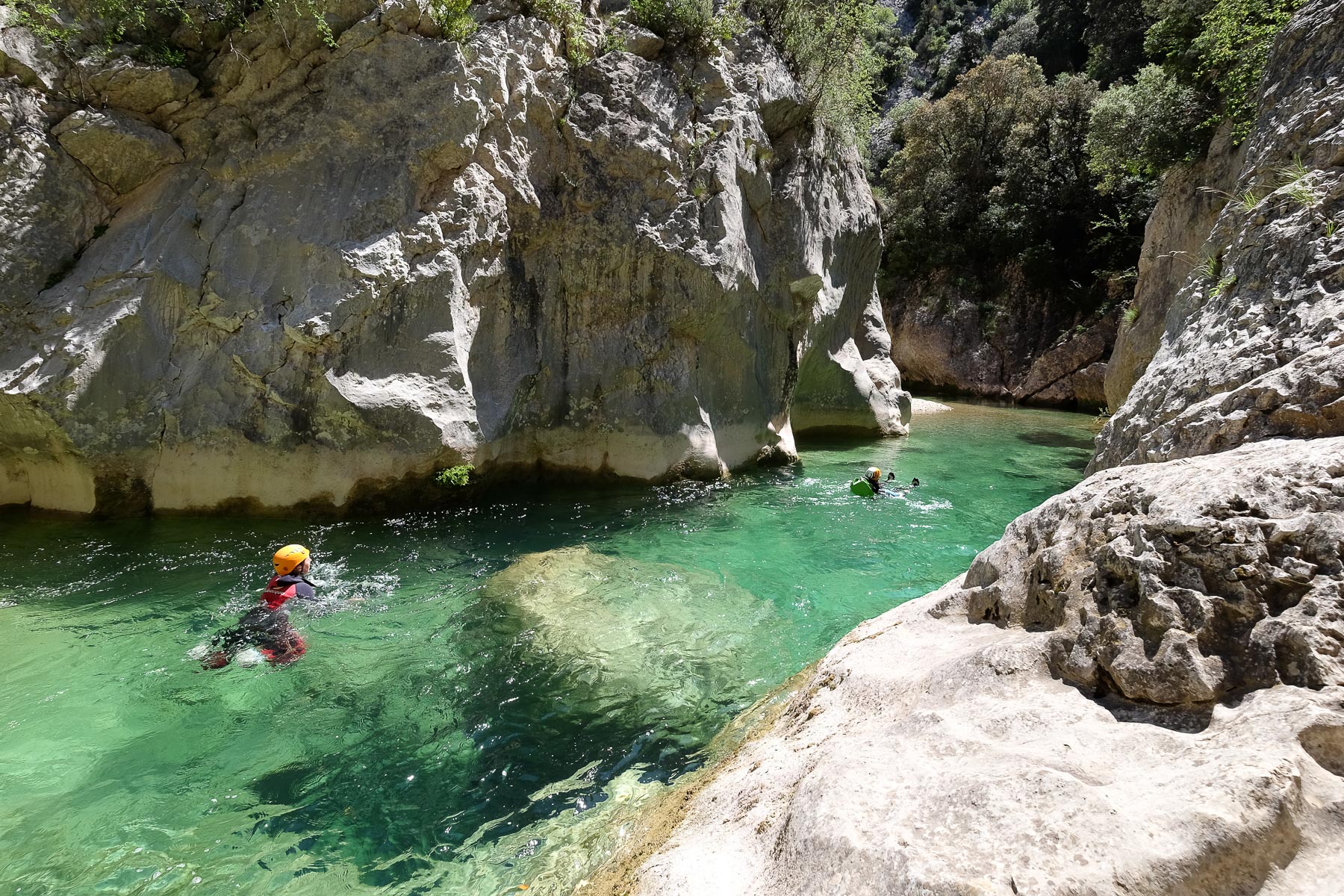
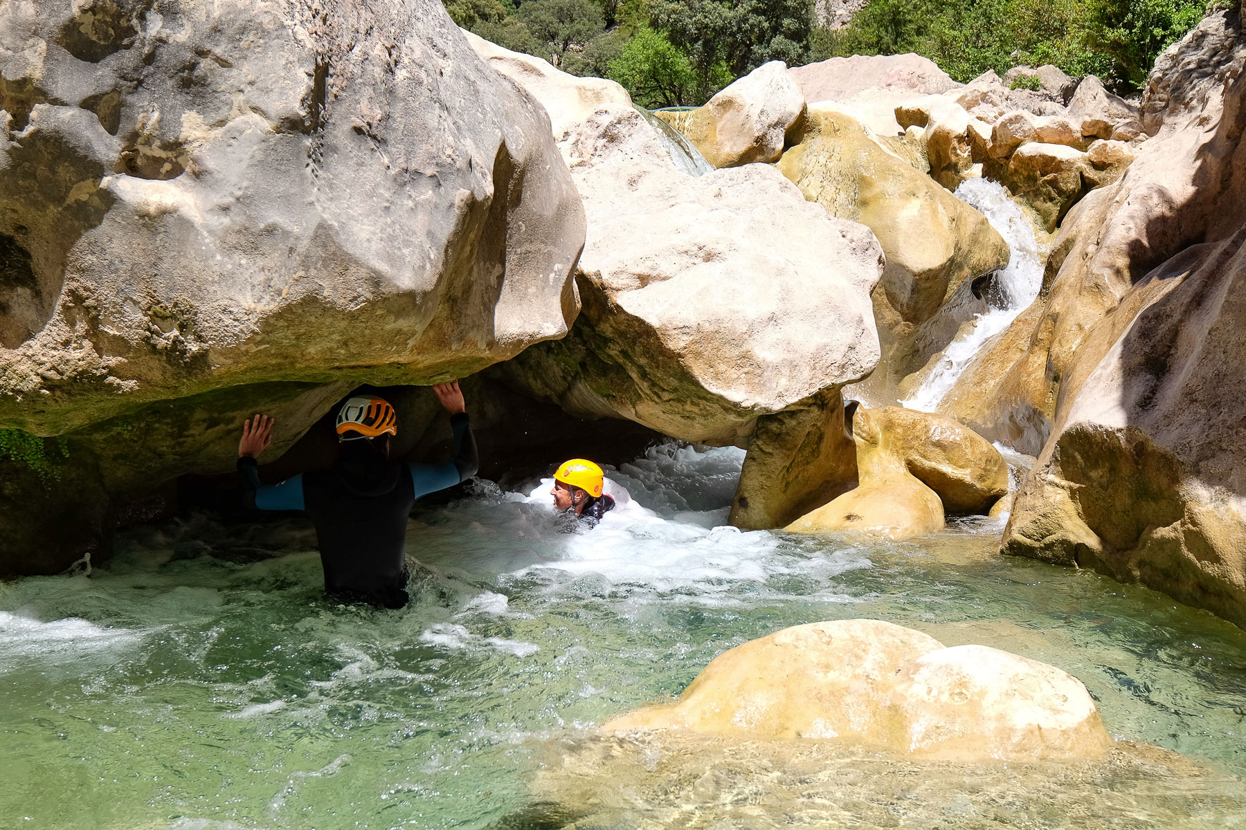
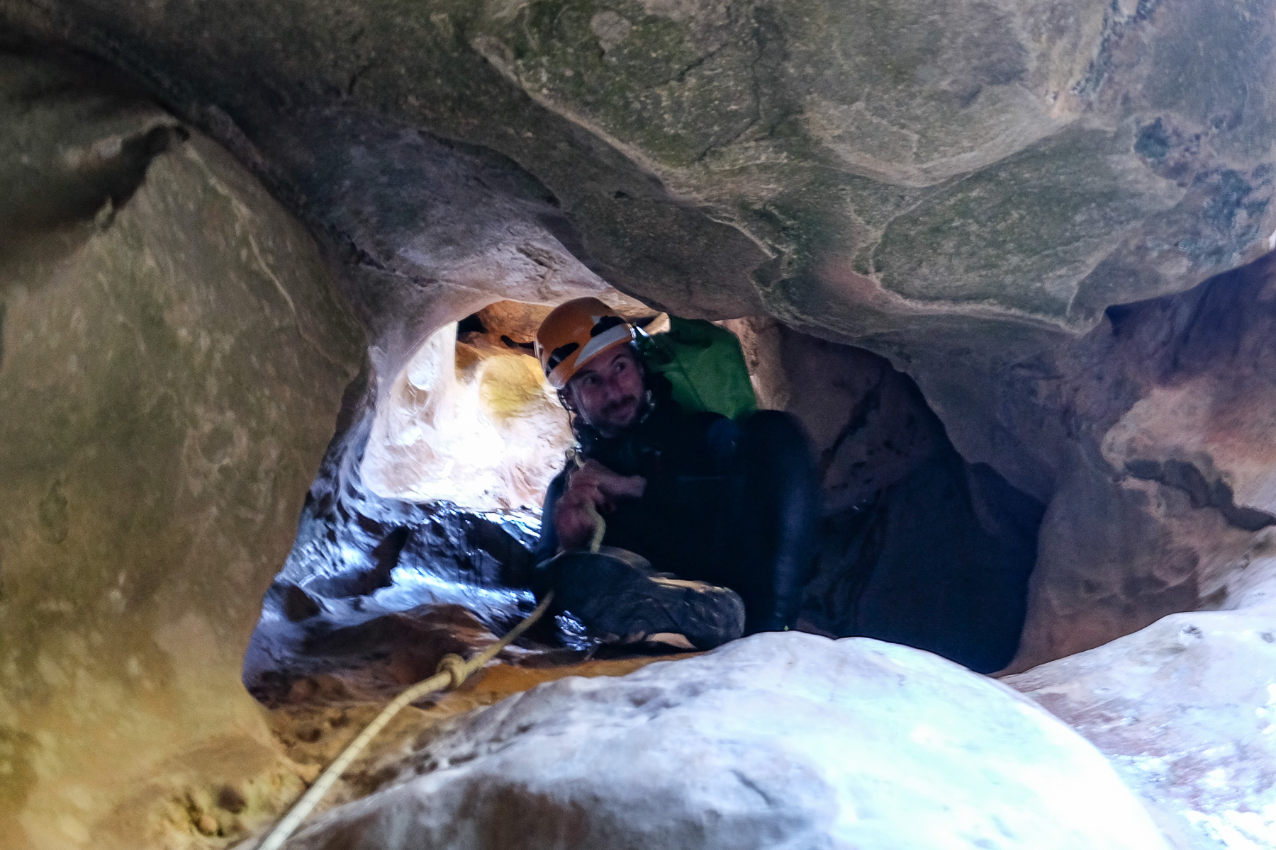
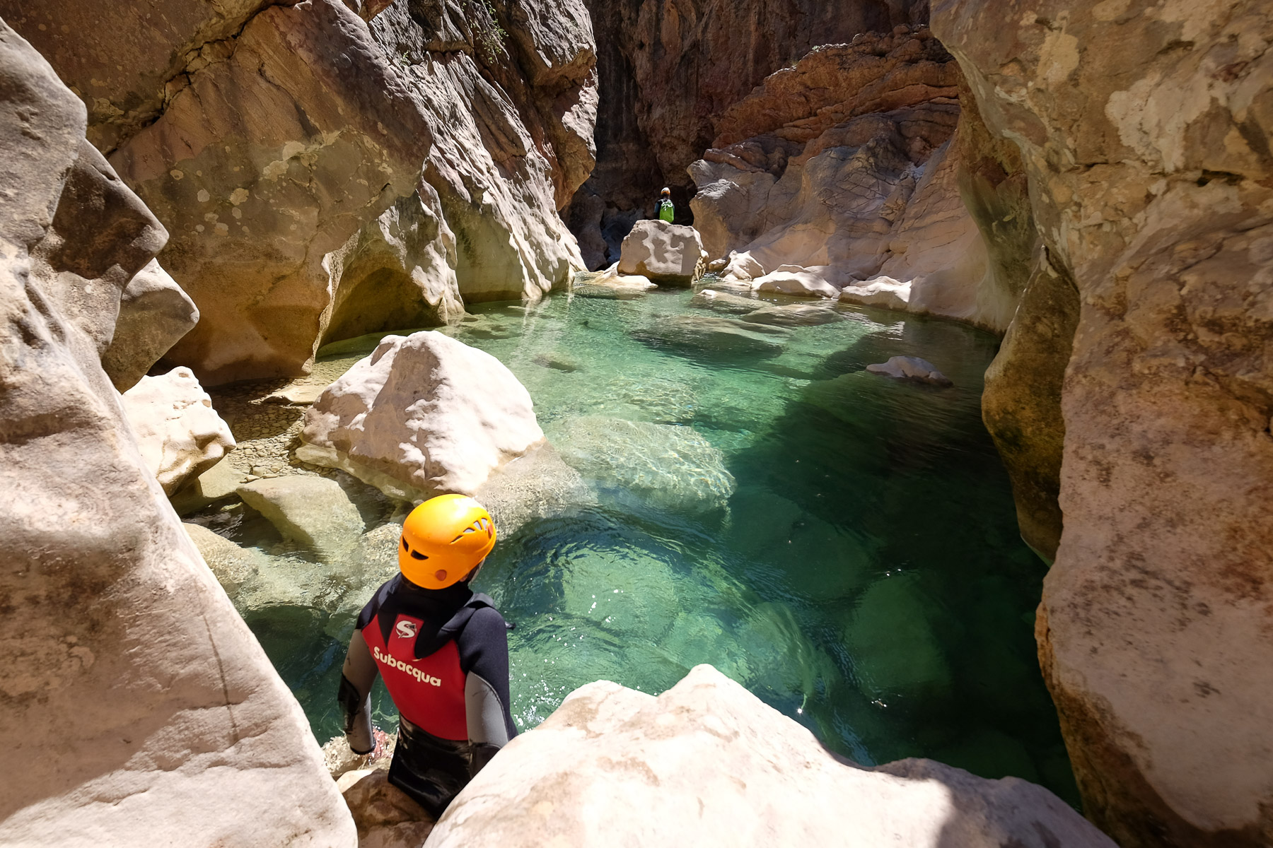
The first, longest section is fairly open, alternating between walking and swimming through long pools of translucent water. There are a few small jumps, but nothing too difficult. The second part corresponds to the Estrechos de la Tamara. This is the final and most interesting part of the canyon. Here, the canyon is more incised. There are a number of large (5 to 6m) jumps to be climbed or rappelled, areas of chaos, including one where you squeeze under a huge boulder to emerge into the water beneath the rocks (mini oscuros), a few optional jumps and large, sometimes very narrow reaches to swim in, in a wildly beautiful setting. Finally, after one last long reach in a limestone corridor, we come out at the Fuente de la Tamara, a wide opening where the return trail is to be found.
Climb back up the right bank path to reach the fork in the approach walk and return to the starting parking lot without too much effort.
The canyon topo on descente-canyon.com


Leave a Reply