


TOPO Hiking | CLIMBING7.COM
Publié le
 Partager sur WhatsApp
 Partager sur Twitter
Partager sur Instagram
Partager sur Twitter
Partager sur Instagram

 Partager sur Facebook
 Imprimer le topo
 Laisser un commentaire

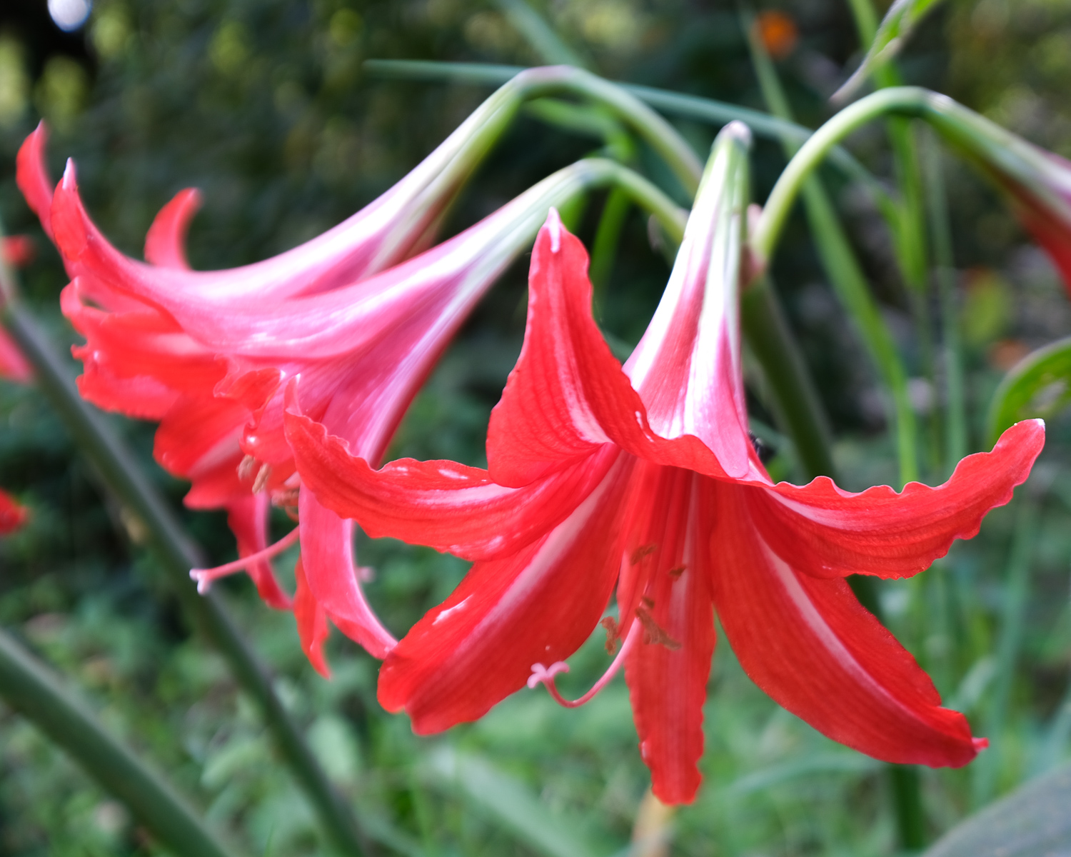
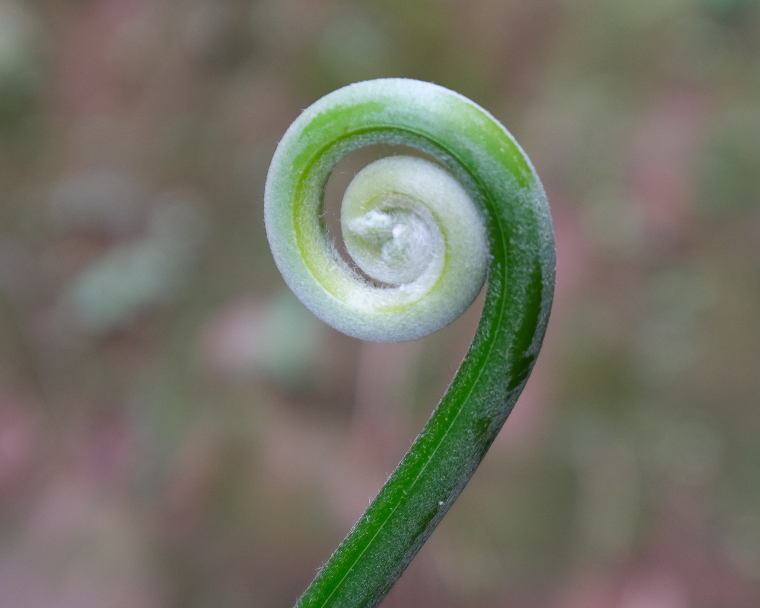
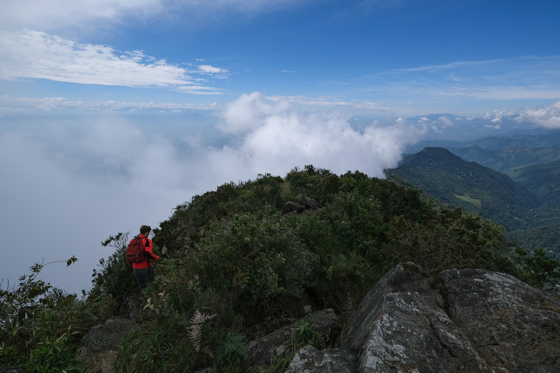
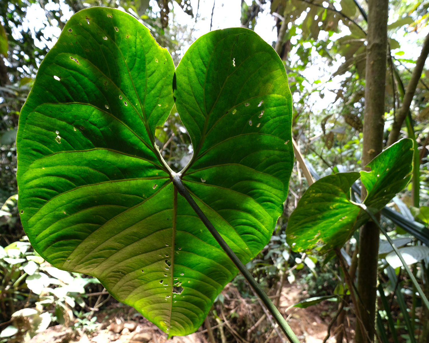
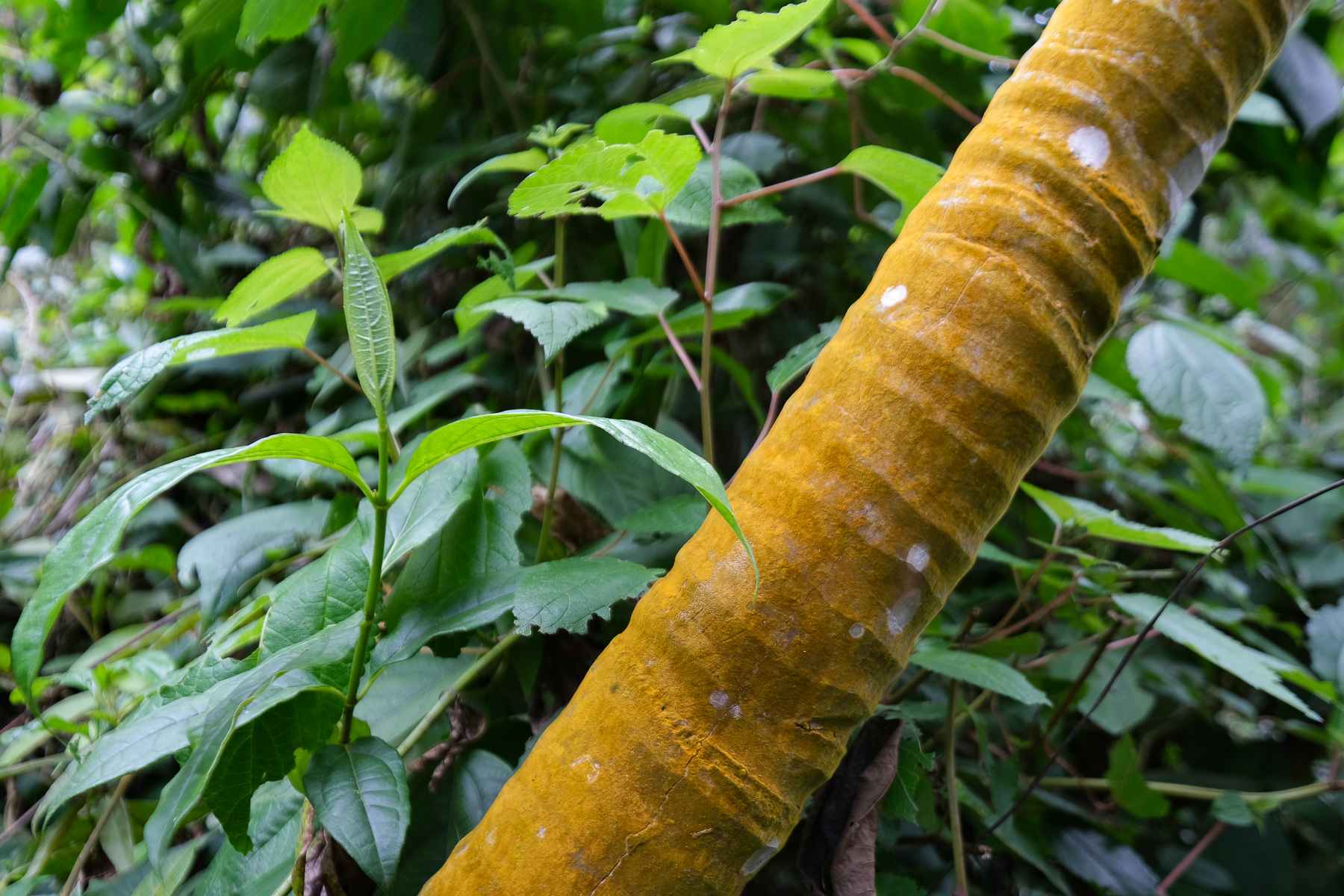
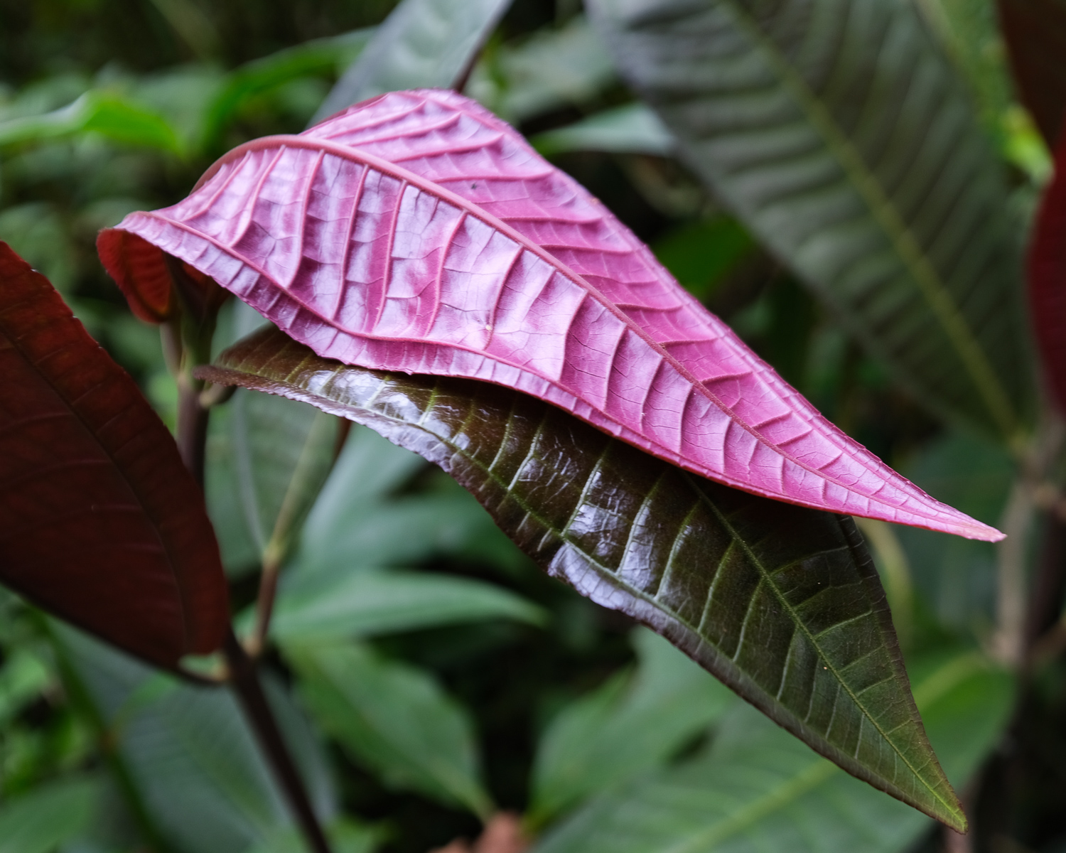
Departing from Pance, the route to Pico de Loro plunges into the Farallones Natural Park to reach a summit overlooking the Cauca plain, with the Central Cordillera and its nevados at over 5300m on the eastern horizon and the crests of Pico Pance at over 4000m on the western side. The final part of the ascent, which is quite brutal and physical, literally plunges you into the tropical jungle, with overflowing vegetation and a festival of bright colors at your fingertips: exotic flowers, bicolored butterflies and strange-sounding bluish birds. Weather permitting, the views from Pico are breathtaking, giving you a real sense of the grandeur of the Colombian Andes. Please note that this hike cannot be undertaken alone; it is compulsory to be accompanied by an official guide.
❱❱ Technical summary
■ Departure point: Pance, Farallones Nature Park, Valle del Cauca, Colombia
■ Type of route: round-trip high-mountain hike, accompanied by a guide
■ Distance: 9 km
■ Cumulative elevation gain: +1050 m
■ Cumulative negative altitude gain: -1050 m
■ Estimated total time: 4h to 5h
■ Min and max altitude: 1620 m / 2710 m
■ Beaconing: no
■ Equipment in place: none
■ Equipment required: none
Difficulties: steep, muddy sections of trail, help from hands in places to progress over roots or rocks.
❱❱ Access to the place
Descend to the south of Cali and before leaving the city, turn west to enter the Rio Pance valley. Pass Voragine and climb up to Pueblo Pance. The end of the road is in very poor condition, in places a sort of gravel track with cemented sections. We can make it without 4×4, but the car suffers. Cabs from Cali cost between 40,000 and 50,000 pesos.
Shortly before reaching the village, turn left to climb towards El Topacio (see 1st photo). On the road/trail before you reach the entrance to the Farallones Nature Park, there's a Camping Rancho Super Cheers area where you'll find the official guides and the start of the hike.
Reservations with the Pico Pance guides must be made in advance, as there are only a limited number of places (cupos) available for each day. The current price is 35,000 pesos per person, with a maximum group size of 5.
❱❱ Map & topo
On the OpenTopoMap base map, Pico de Loro doesn't seem to be in the right place, or the contour lines are wrong.
❱❱ Itinéraire
Return to the gently ascending road/trail, with Pico de loro emerging from the forest opposite, to arrive at the park entrance at the El Topacio center, where a check is carried out. This is where the trail to Pico Loro begins.
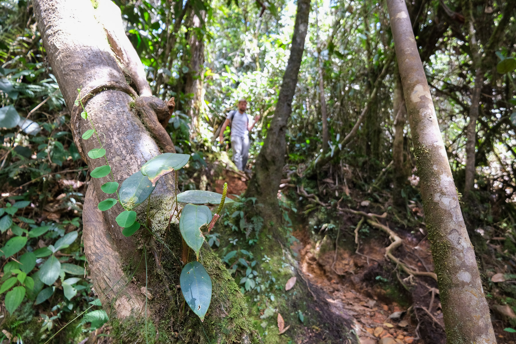
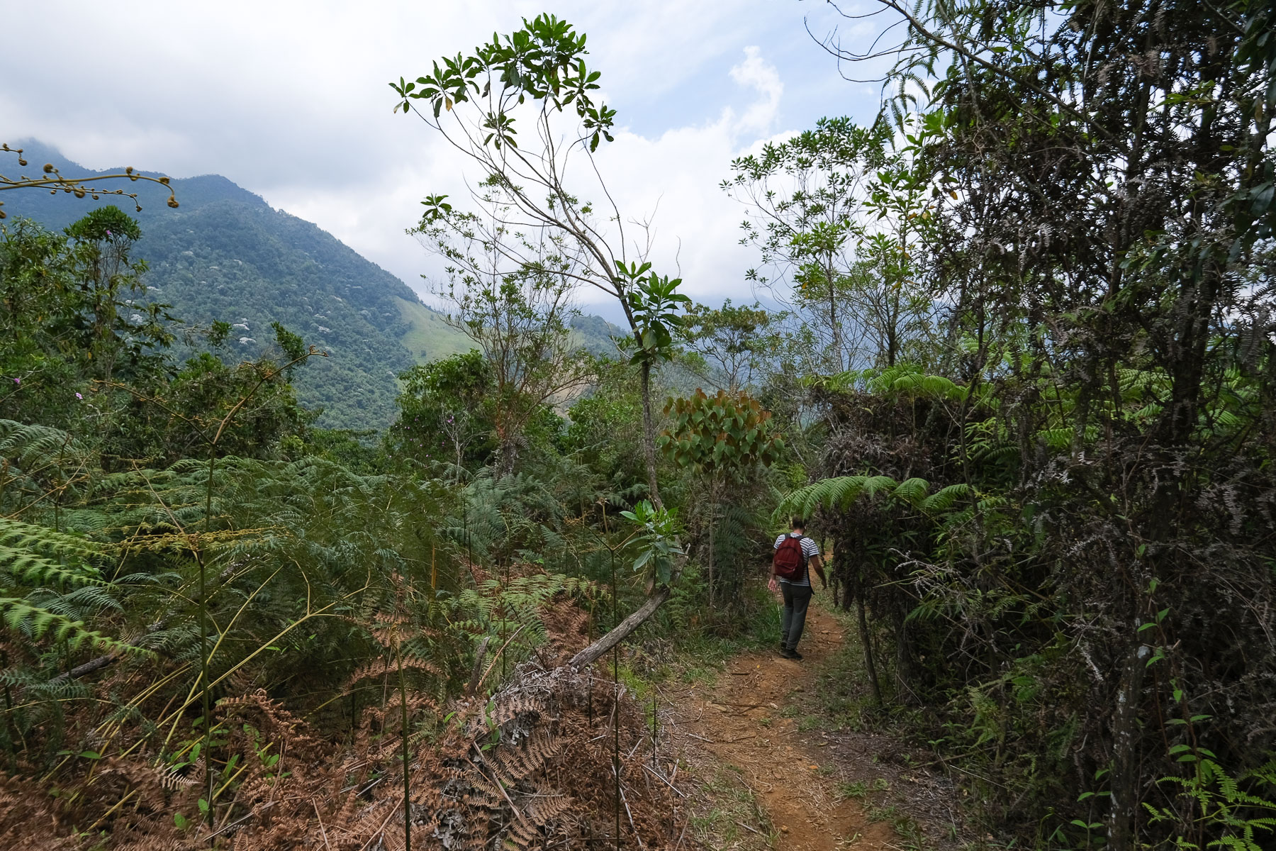
It's a round trip on a single path that weaves its way through fairly impenetrable virgin forest. The only way out of the forest is on the summit ridge, in the last 5 minutes.
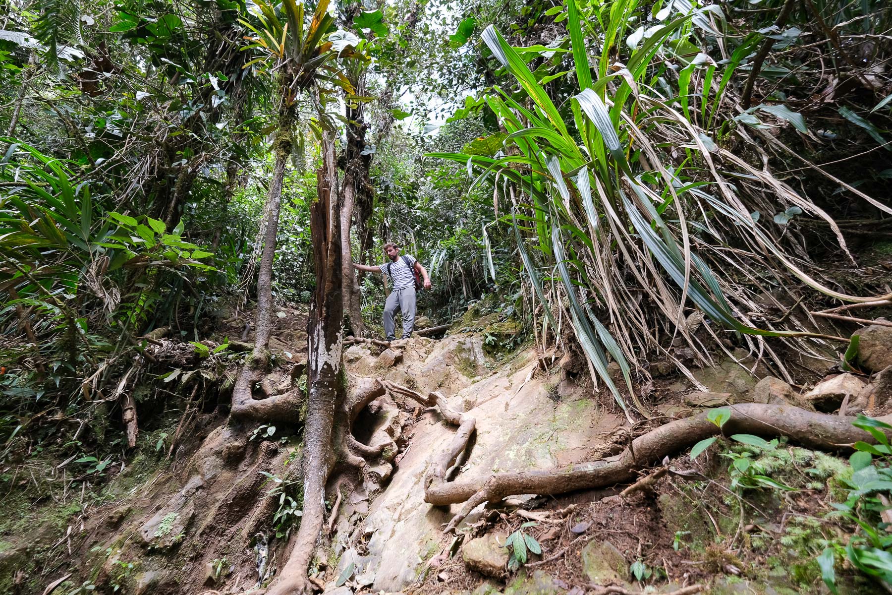
The first half of the climb is not too steep. The first half of the climb isn't too steep, but you climb in stages, with sections that are a little steeper and flats. The second part is much steeper, with many passages where you have to use your hands to climb through the earth, over small rocks or by clinging to tree trunks or roots. As the terrain is wet and often slippery, support is not always secure and slows progress.
Before reaching the final ridge, the path becomes less steep. You finally emerge to enjoy a view of Pico Pance, then, as you turn around, the Cauca valley, Cali and, with luck, the Cordillera Central and its nevados on the eastern horizon. You can even go a little further down on the north side for a view of the jungle below Pance.
To descend, retrace the ascent in the opposite direction. The steep, slippery final section is tricky, and you'll often have to hold on to the roots or unclimb. The descent is no faster than the ascent. The lower part, less steep, is faster.


Leave a Reply