


TOPO Hiking | CLIMBING7.COM
Publié le
 Partager sur WhatsApp
 Partager sur Twitter
Partager sur Instagram
Partager sur Twitter
Partager sur Instagram

 Partager sur Facebook
 Imprimer le topo
 Laisser un commentaire

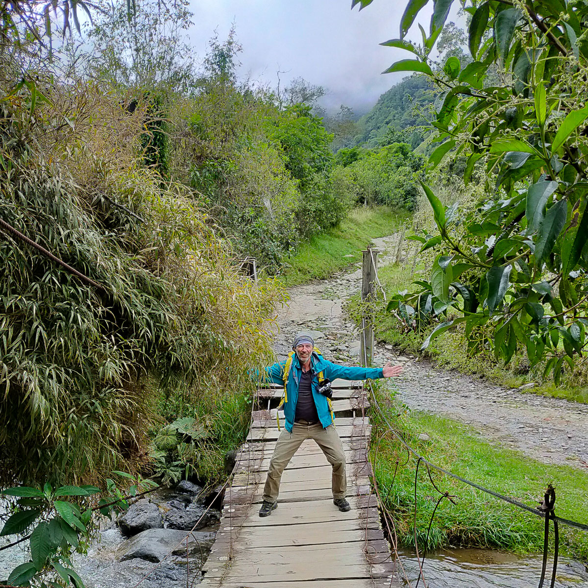
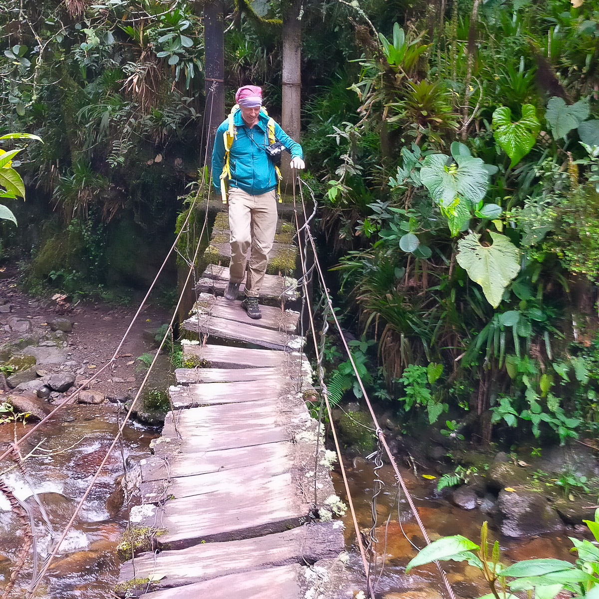
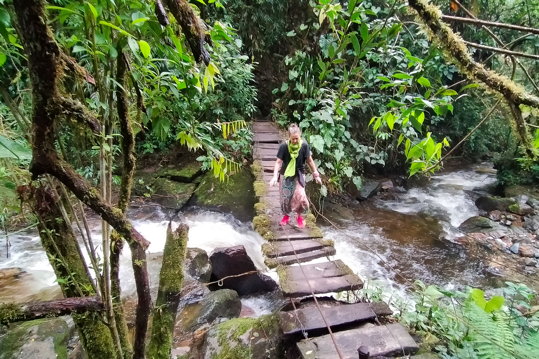
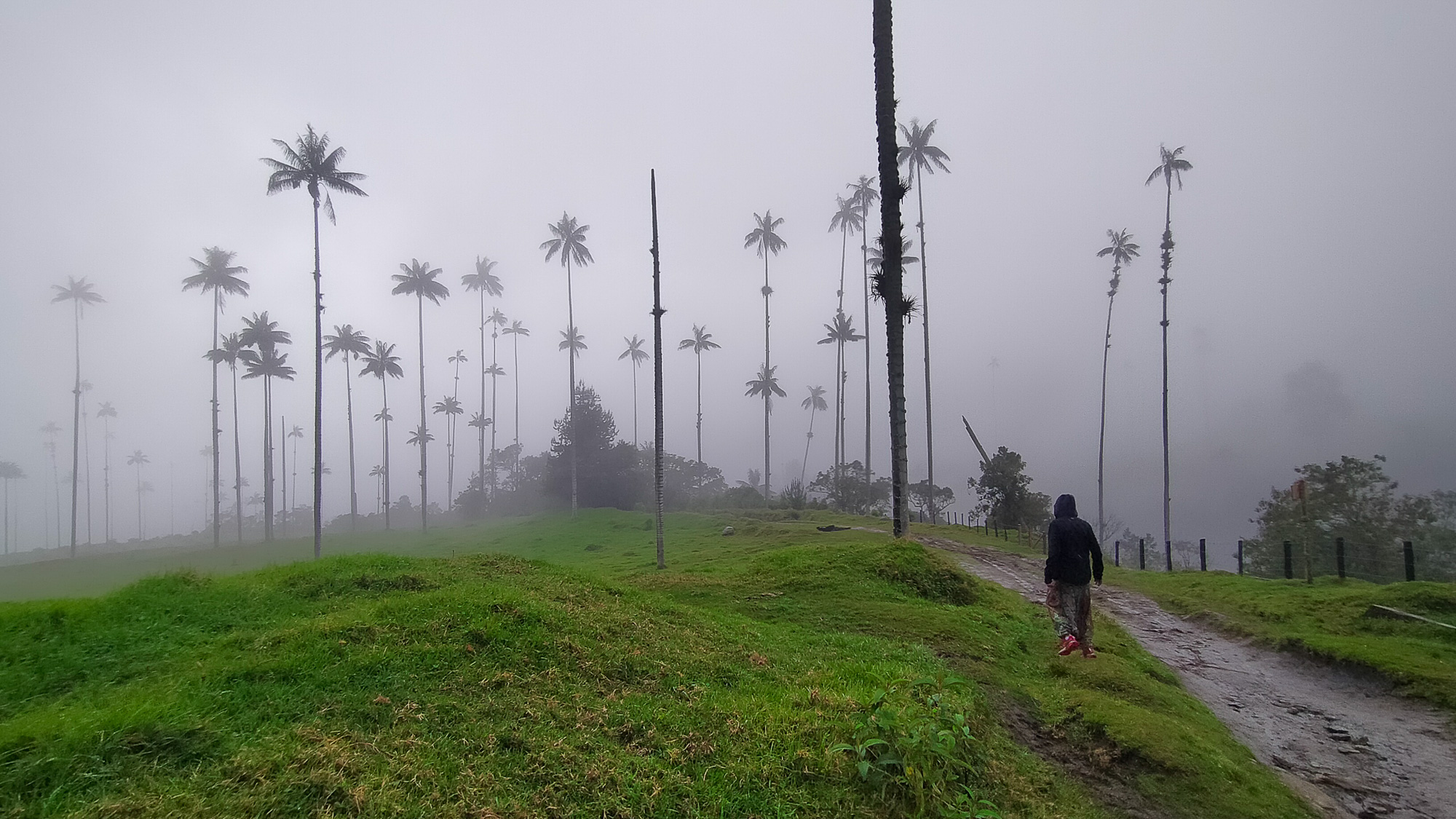
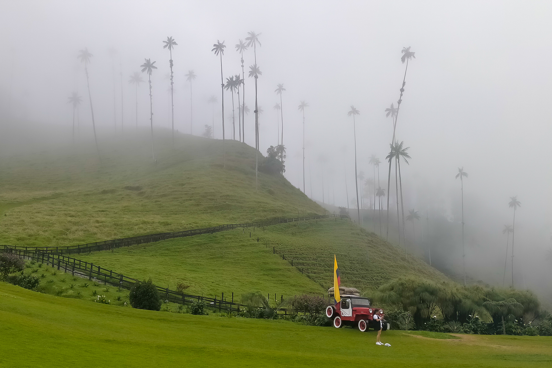
Here's a short, accessible loop to discover the famous Cocora valley and its wax palms or Ceroxylon quindiuense, Colombia's national symbol. Ascending along the Quindio River, the trail plunges into the jungle for a course marked by several suspension bridges in a tropical atmosphere. Before tackling the steep slopes that lead to the Andean highlands and the Tolima nevado massif, the route climbs up to Finca La Montaña before descending gently and crossing fields of wax palms, as small as they are huge, that soar skyward, inaccessible, often in a rather fantastic misty atmosphere. A great excursion from Salento, before tackling some of the more challenging routes at altitude.
❱❱ Technical summary
■ S tarting point: Cocora, Salento, Quindio, Colombia
■ Type of route: mid-mountain loop hike
■ Distance: 9.5 km
■ Cumulative elevation gain: +550 m
■ Cumulative negative altitude gain: -550 m
■ Estimated total time: 3h to 3h30
■ Min and max altitude: 2140 m / 2860 m
■ S ignposting: no, but a few signs from time to time, combination of well-marked trails and paths
■ Equipment in place: small suspension bridges in precarious condition
■ Equipment required: useful GPS track
Difficulties: none, except for a few steeper sections.
❱❱ Access to the place
From Cali, drive to Salento, between Pereira and Arménia, at the foot of the los Nevados Natural Park (3h to 3h30 bus ride to Arménia or Pereira, then 45' to 1H bus ride to Salento). In Salento, take a Willis jeep from Plaça Bolivar to Cocora. Currently departing every 2 hours from 7 a.m., 4000 pesos each way. Same for the return trip, departing every 2 hours from 8 a.m. or when a 10-person jeep is full.
❱❱ Map & topo
The loop can be made in either direction, but is described here counter-clockwise.
❱❱ Itinéraire
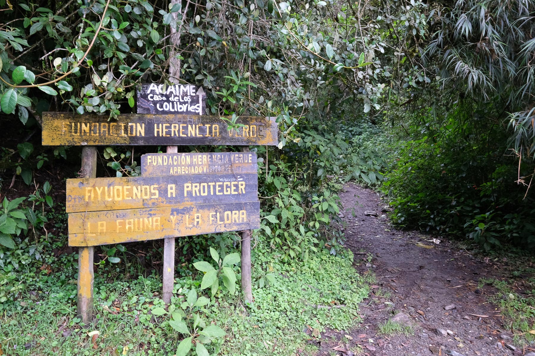
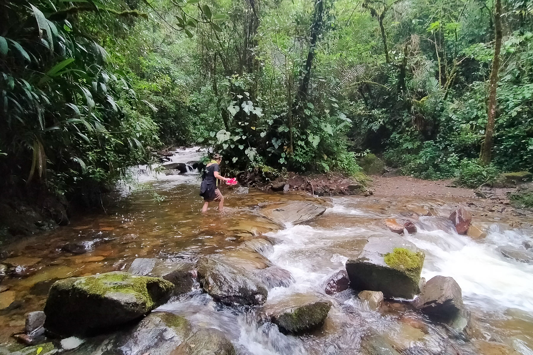
The itinerary forms a loop and crosses 2 reserved areas where you have to pay an entry fee of 5000 pesos to date. The terrain is very wet and muddy in the first section along the torrent, and less so on the return trail at higher elevations. No particular difficulty, except for the steady climb back up to Finca la Montaña. It's worth noting that the suspension bridges are rather rickety and don't inspire a great deal of confidence, but they still seem to be solid enough - at least, we crossed them without any damage.
A page dedicated to this hike, a priori presented in the opposite direction and in fine weather.


Leave a Reply