
Sarrasis cliff, Belcaire


On the border between Aude and Ariège, in the heart of the Pays de Sault, the Pic de Sarrasis cliffs offer an ideal…
Read topo


On the border between Aude and Ariège, in the heart of the Pays de Sault, the Pic de Sarrasis cliffs offer an ideal…
Read topo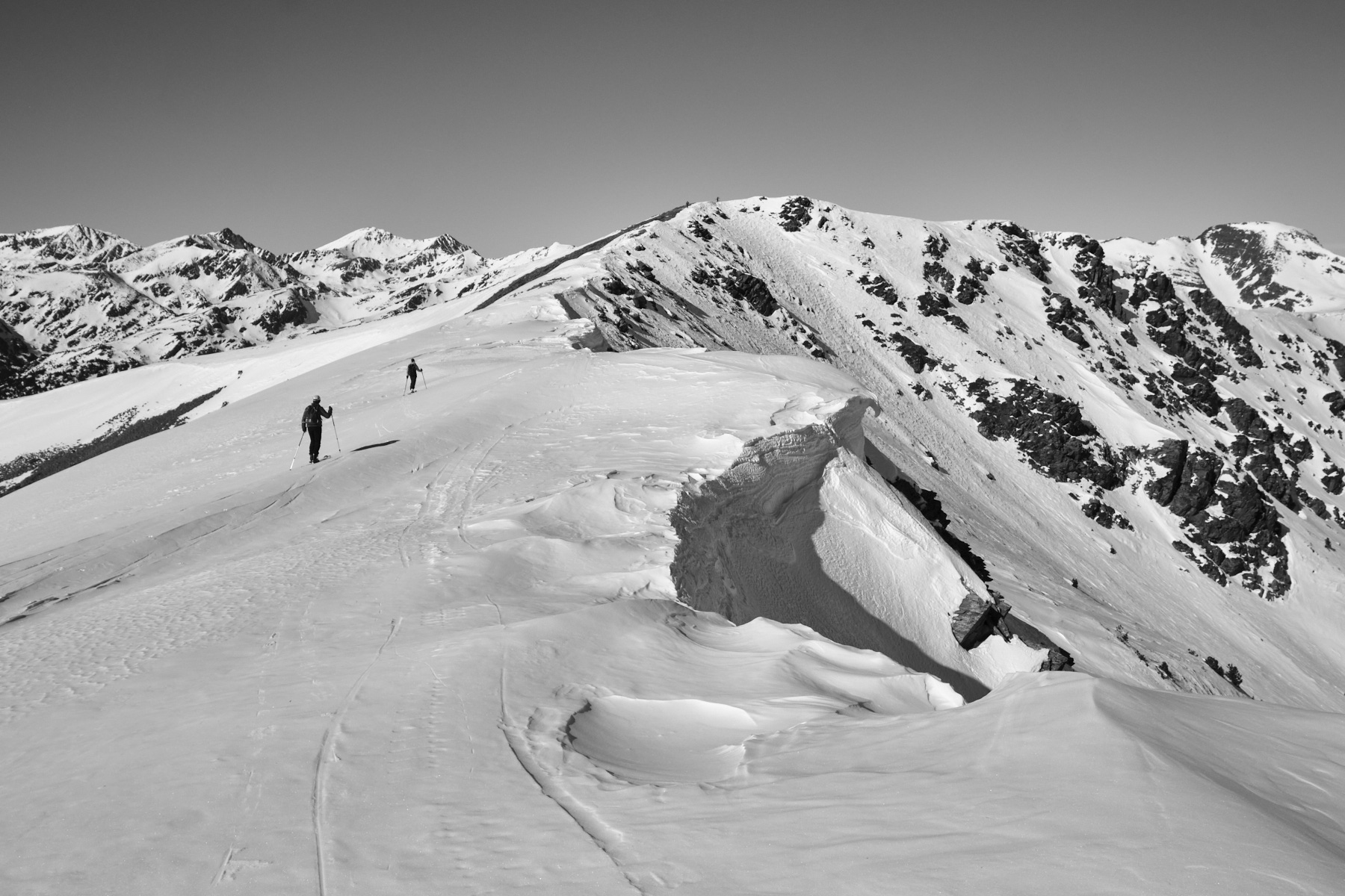
We had set out to climb the Pic de la Cabaneta from the Vall d'Incle, but the snow conditions decided otherwise.…
Read topo
Overlooking Bagnères-de-Luchon and on the border ridge with Spain, the Plan de Montmajou snowshoe hike offers…
Read topo
Facing the Pyrenees, above the small resort of Camurac, there are some lovely slopes to ski without too much…
Read topo
Before all the snow has disappeared, we head for the Haute Ariège to climb the Pla de Montcamp and enjoy a superb…
Read topo
In the heart of the Ax valley, on the southern slopes of the Montagne de Tabe, facing the Ariège Pyrenees, the…
Read topoA classic among classics, the GR20 offers an exceptional itinerary for crossing Corsica from north to south, or vice versa, between sea and high mountains. With more than 160 kilometers of trails and over 12,000 meters of ascent, often between 1,500 and 2,500 meters above sea level, this is a challenging route for experienced hikers. But the GR20 is paying the price for its success, and for a little escape, we offer an alternative itinerary with numerous official and unofficial variants, and the ascent of some interesting peaks: Cirque de la Solitude, Paglia Orba and Capo Tafunatu, Monte d'Oro, Monte Renoso, Monte Incudine. This topo presents the GR20 as we did it in general terms, all the stages being described in more detail in the following posts.
Voir le dossier
Sur la HRP de Hendaye à Banyuls
Été 2025