
Cliffs of Sinsat, Quié de Sinsat


At the entrance to the Ax valley, the cliffs of the Quié de Sinsat rise up in shades of grey and orange, in stark…
Read topo


At the entrance to the Ax valley, the cliffs of the Quié de Sinsat rise up in shades of grey and orange, in stark…
Read topo
Starting from Appy, this route forms a long loop on the south face of the Massif de Tabe: Etang d'Appy, Pic Galinat,…
Read topo
Starting from Norgeat in the Haute-Ariège region, the route forms a loop over the ridges from Col de Gamel to Col…
Read topo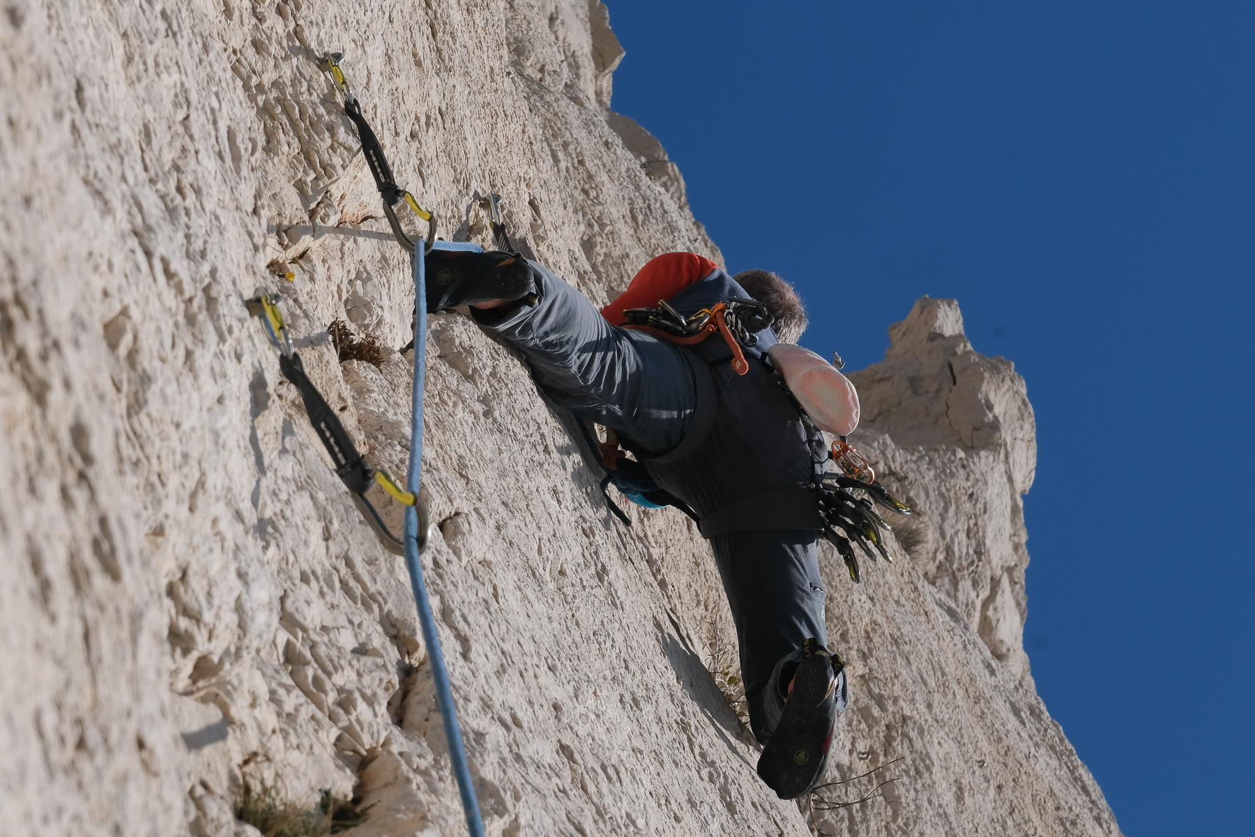
The south face of the Aiguille du Sugiton offers beautiful sunny walls overlooking the calanque of the same name.…
Read topo
An exceptional itinerary in the magical setting of the Calanques de La Ciotat: a long, aerial traverse on a cliff…
Read topo
A sporty, almost alpine discovery of the Montagne Sainte-Victoire. This itinerary combines several trails and…
Read topoA classic among classics, the GR20 offers an exceptional itinerary for crossing Corsica from north to south, or vice versa, between sea and high mountains. With more than 160 kilometers of trails and over 12,000 meters of ascent, often between 1,500 and 2,500 meters above sea level, this is a challenging route for experienced hikers. But the GR20 is paying the price for its success, and for a little escape, we offer an alternative itinerary with numerous official and unofficial variants, and the ascent of some interesting peaks: Cirque de la Solitude, Paglia Orba and Capo Tafunatu, Monte d'Oro, Monte Renoso, Monte Incudine. This topo presents the GR20 as we did it in general terms, all the stages being described in more detail in the following posts.
Voir le dossier
Sur la HRP de Hendaye à Banyuls
Été 2025