Via ferrata de la Canal del Grau, Canillo
The via ferrata de la Canal del Grau may look like nothing, but it's not. A natural continuation of the via ferrata…
Read topo


The via ferrata de la Canal del Grau may look like nothing, but it's not. A natural continuation of the via ferrata…
Read topo
The via ferrata dels Racons was built on the western flank of the Roc del Quer, a large pyramid-shaped rock face…
Read topo
The proposed route from Escaldes follows the Vall de Madriu and returns via the ridges, passing through Estany Blau…
Read topo
We set out to summit the Pic de Médécourbe and then move on to the Pics de Racofred and des Bareytes, but…
Read topo
Discover the magnificent landscapes of Donezan and particularly the Etang du Laurenti, at the foot of the cirque…
Read topo
Three 3000m summits. Alpine and original ascent of the Pique d'Estat via its South-East ridge from Pointe Gabarró,…
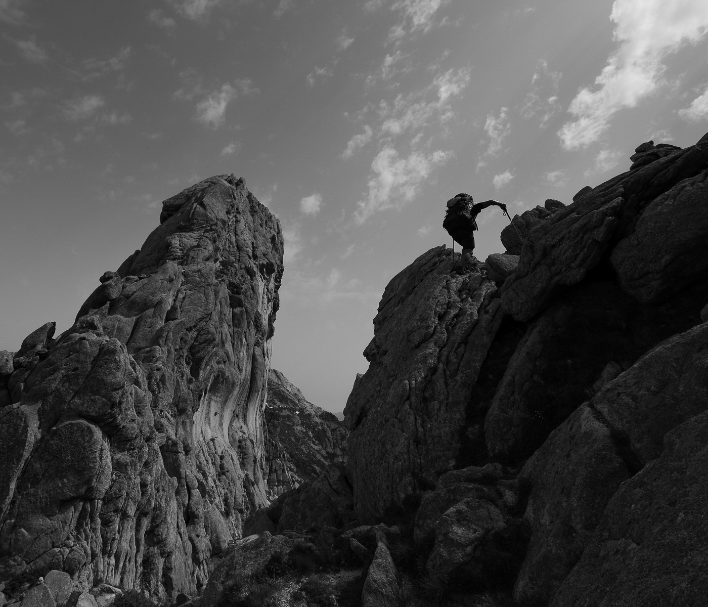
Read topoA classic among classics, the GR20 offers an exceptional itinerary for crossing Corsica from north to south, or vice versa, between sea and high mountains. With more than 160 kilometers of trails and over 12,000 meters of ascent, often between 1,500 and 2,500 meters above sea level, this is a challenging route for experienced hikers. But the GR20 is paying the price for its success, and for a little escape, we offer an alternative itinerary with numerous official and unofficial variants, and the ascent of some interesting peaks: Cirque de la Solitude, Paglia Orba and Capo Tafunatu, Monte d'Oro, Monte Renoso, Monte Incudine. This topo presents the GR20 as we did it in general terms, all the stages being described in more detail in the following posts.
Voir le dossier
Sur la HRP de Hendaye à Banyuls
Été 2025