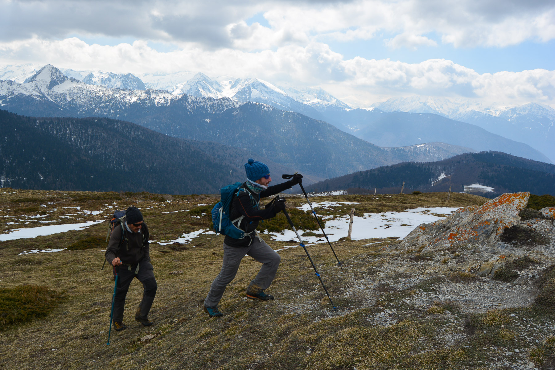
Serrembarre & Cassoula, Goulours


At the very top of the Ax valley in Haute-Ariège, on the border with the Aude department, the ridge route from Pic…
Read topo


At the very top of the Ax valley in Haute-Ariège, on the border with the Aude department, the ridge route from Pic…
Read topo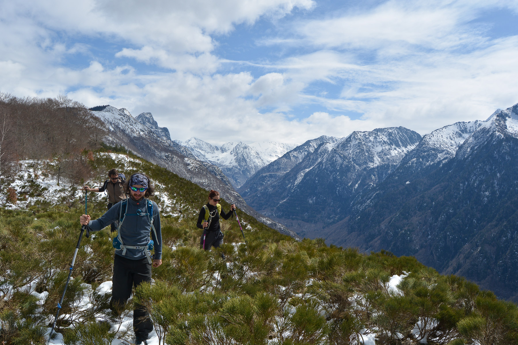
Nice loop starting from Ascou, for a panoramic route up the Orlu valley to the Table des 3 Seigneurs.
Read topo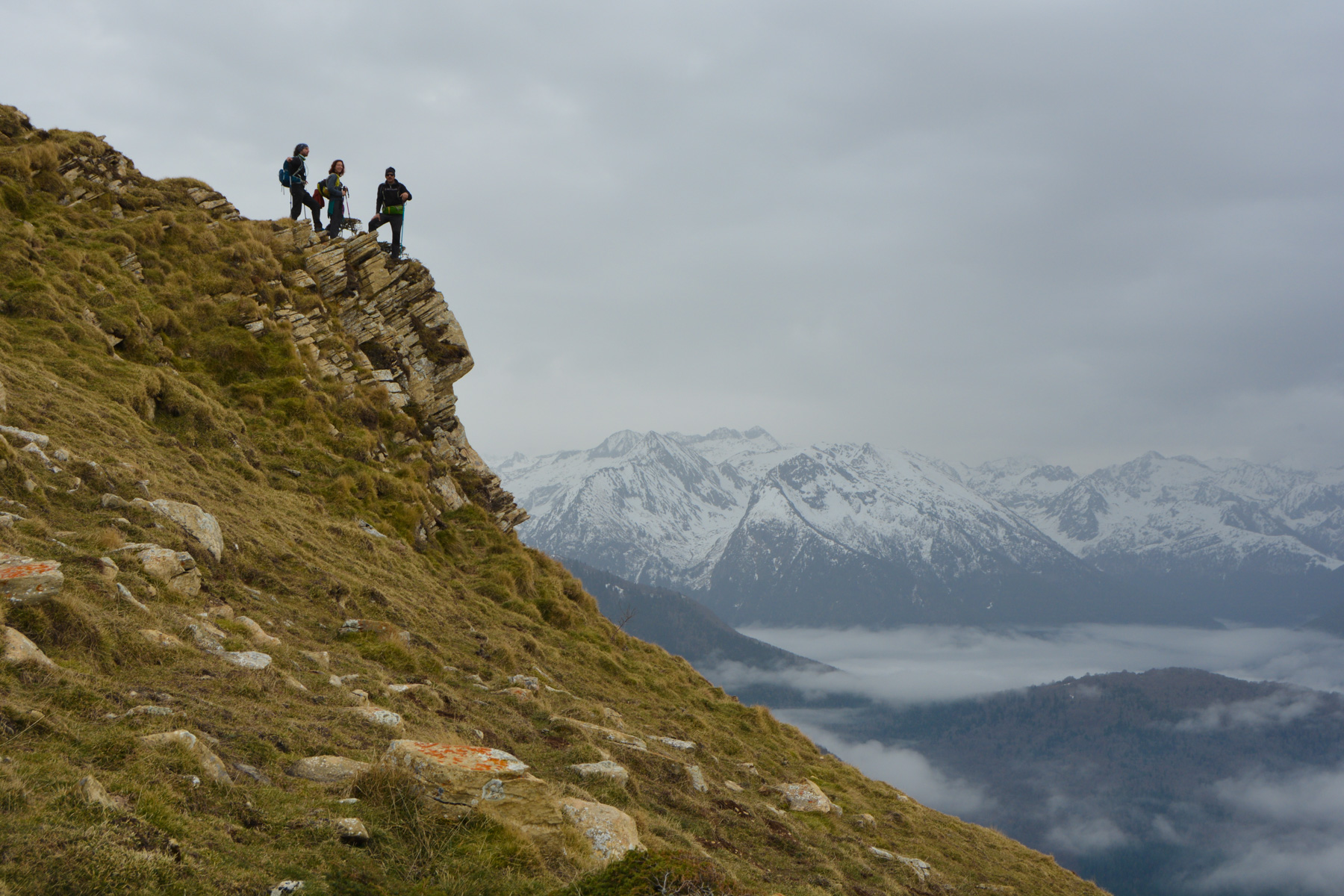
Starting from the village of Sorgeat, at the bottom of the Ax-les-Thermes valley, the route to Pic Doulent follows…
Read topo
The route to Pic Negre d'Envalira, the border peak with Andorra, is superb despite the fact that you have to start…
Read topo
With the same starting point as the Pala d'Eixe, in the resort of Espot, the route to the Bony de les Picardes is…
Read topo
Diving into the heart of the Aigüestortes National Park to climb the Tuc de Ratera to almost 3000m and enjoy some…
Read topoA classic among classics, the GR20 offers an exceptional itinerary for crossing Corsica from north to south, or vice versa, between sea and high mountains. With more than 160 kilometers of trails and over 12,000 meters of ascent, often between 1,500 and 2,500 meters above sea level, this is a challenging route for experienced hikers. But the GR20 is paying the price for its success, and for a little escape, we offer an alternative itinerary with numerous official and unofficial variants, and the ascent of some interesting peaks: Cirque de la Solitude, Paglia Orba and Capo Tafunatu, Monte d'Oro, Monte Renoso, Monte Incudine. This topo presents the GR20 as we did it in general terms, all the stages being described in more detail in the following posts.
Voir le dossier
Sur la HRP de Hendaye à Banyuls
Été 2025