Punta La Marmora


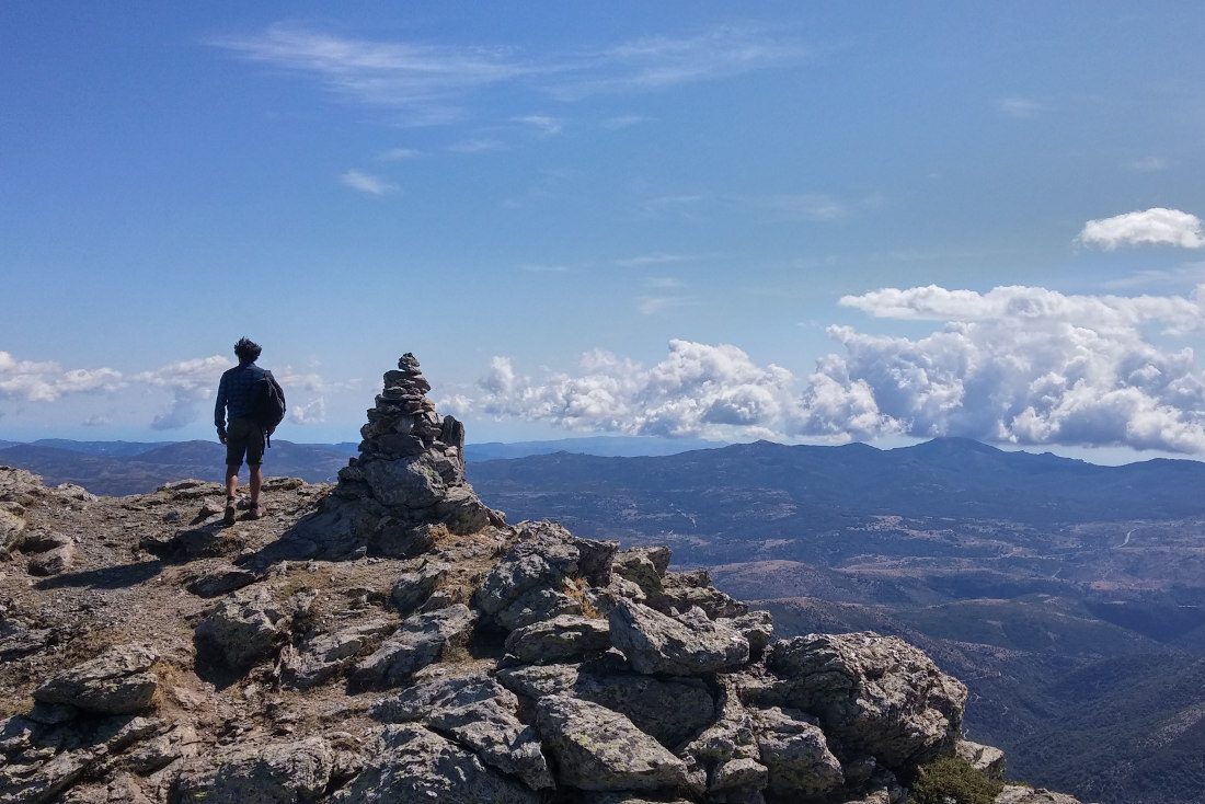
In the center of the island, Punta La Marmora is the highest peak, 1834m above the sea. A hike for a superb view...
Read topo


In the center of the island, Punta La Marmora is the highest peak, 1834m above the sea. A hike for a superb view...
Read topo
Leaving from Cala Gonone, Monte Irveri is a short, very accessible hiking trail that allows you to enjoy...
Read topo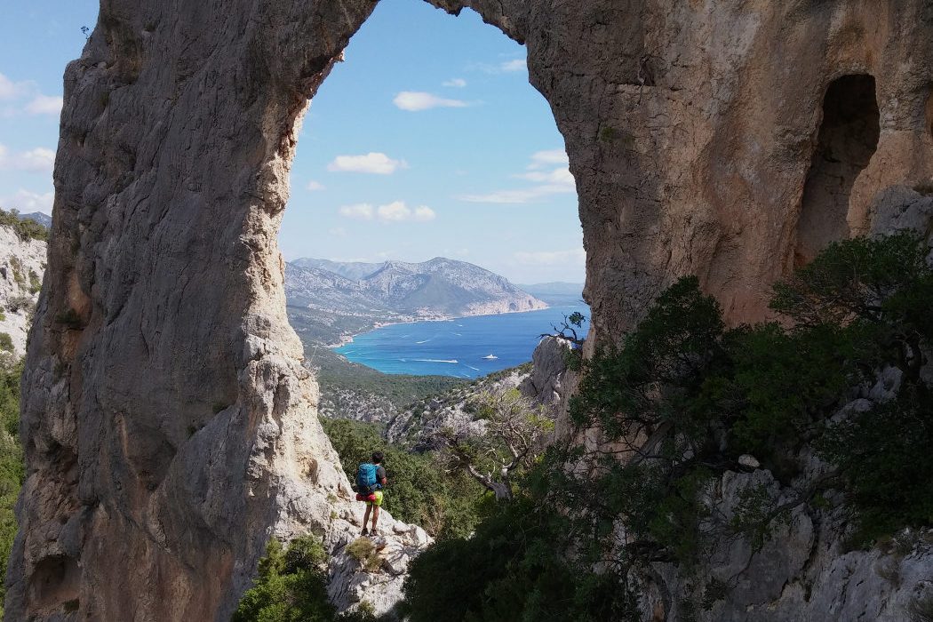
A very pleasant, easy hike along the coast of the Golfo di Orosei, corresponding to the last stage of the Selvaggio…
Read topo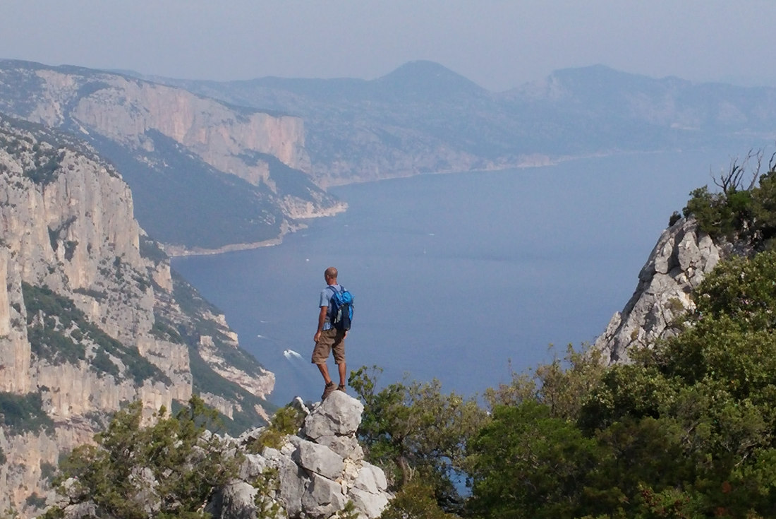
A beautiful hike, especially for the incredible view from the summit of Punta Salinas overlooking Cala Goloritzè...
Read topo
From the Alto Plano di Golgo, access to the calanques is not so easy, but well worth the detour. Cala Goloritze...
Read topo
The route to Punta Giradili is magnificent from every point of view: a varied itinerary, splendid views over the…
Read topoA classic among classics, the GR20 offers an exceptional itinerary for crossing Corsica from north to south, or vice versa, between sea and high mountains. With more than 160 kilometers of trails and over 12,000 meters of ascent, often between 1,500 and 2,500 meters above sea level, this is a challenging route for experienced hikers. But the GR20 is paying the price for its success, and for a little escape, we offer an alternative itinerary with numerous official and unofficial variants, and the ascent of some interesting peaks: Cirque de la Solitude, Paglia Orba and Capo Tafunatu, Monte d'Oro, Monte Renoso, Monte Incudine. This topo presents the GR20 as we did it in general terms, all the stages being described in more detail in the following posts.
Voir le dossier
Sur la HRP de Hendaye à Banyuls
Été 2025