Pertusa, Montebei, Catalunya, Spain
Track 1 departure
Read topo


Track 1 departure
Read topo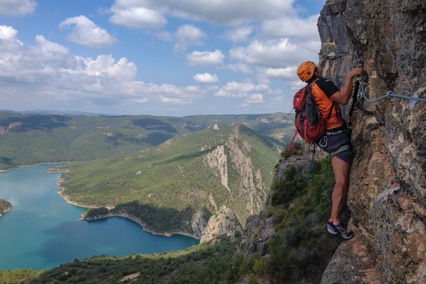
Brand-new via ferrata in the Mont-rebeï sector, in the Montsec d'Ares, on the border between Catalunya and Aragón.…
Read topo
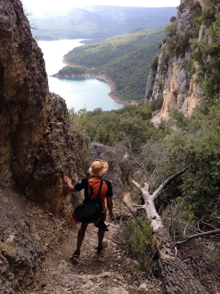
As you descend into the Pardina barranc, set against the backdrop of the majestic congost de Montrebeï, the route,…
Read topo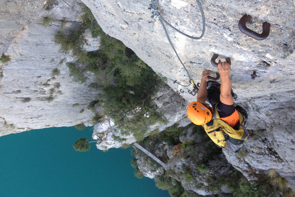
Corça, at the end of Catalunya to return to Montrebeï and discover a new via ferrata that climbs one of the great…
Read topo
We had planned to do the Mujib Siq, a famous canyon but decidedly too expensive (45JD per person for 1h descent with…
Read topo


Long, very long wadi, more than 20kms to descend from East to West, in a fabulous setting, the Jordanian plateaus…
Read topoA classic among classics, the GR20 offers an exceptional itinerary for crossing Corsica from north to south, or vice versa, between sea and high mountains. With more than 160 kilometers of trails and over 12,000 meters of ascent, often between 1,500 and 2,500 meters above sea level, this is a challenging route for experienced hikers. But the GR20 is paying the price for its success, and for a little escape, we offer an alternative itinerary with numerous official and unofficial variants, and the ascent of some interesting peaks: Cirque de la Solitude, Paglia Orba and Capo Tafunatu, Monte d'Oro, Monte Renoso, Monte Incudine. This topo presents the GR20 as we did it in general terms, all the stages being described in more detail in the following posts.
Voir le dossier
Sur la HRP de Hendaye à Banyuls
Été 2025