
Sarratanas, Sierra de Guara


Located in the Somontano region, east of the rio Vero canyon, this barranco is a real beauty, especially the steep,…
Read topo


Located in the Somontano region, east of the rio Vero canyon, this barranco is a real beauty, especially the steep,…
Read topo
Located on the banks of the Río Mascun, near Rodellar, this small canyon is totally dry and ideal not only for…
Read topo
A lovely little route to discover the rio Eresa gorge, in the Somontano region, just a stone's throw from the Sierra…
Read topo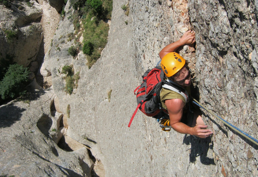
Last meters of the L2
Read topo
in the 2nd length
Read topo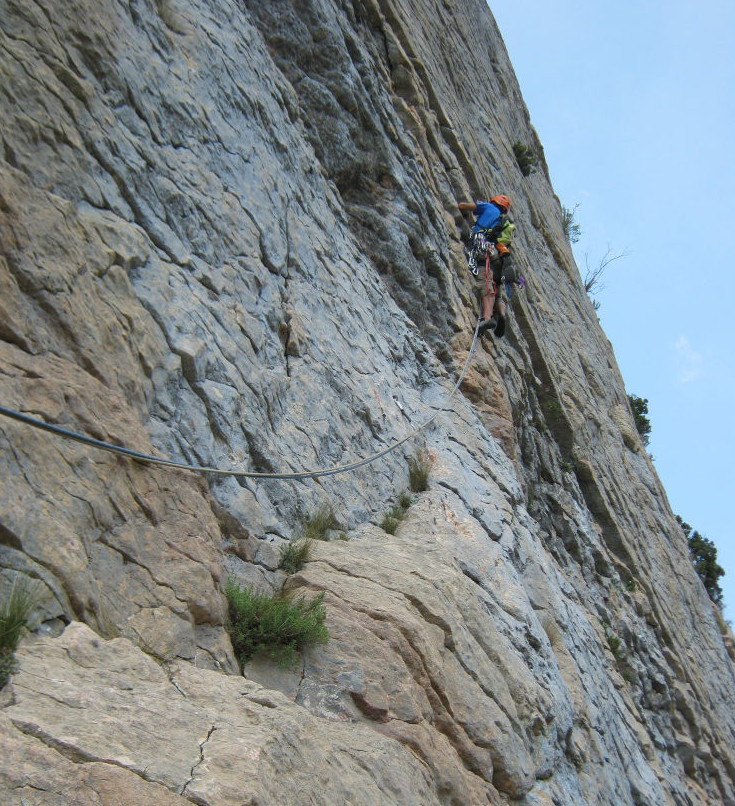
In the wall of L3 (6a)
Read topoA classic among classics, the GR20 offers an exceptional itinerary for crossing Corsica from north to south, or vice versa, between sea and high mountains. With more than 160 kilometers of trails and over 12,000 meters of ascent, often between 1,500 and 2,500 meters above sea level, this is a challenging route for experienced hikers. But the GR20 is paying the price for its success, and for a little escape, we offer an alternative itinerary with numerous official and unofficial variants, and the ascent of some interesting peaks: Cirque de la Solitude, Paglia Orba and Capo Tafunatu, Monte d'Oro, Monte Renoso, Monte Incudine. This topo presents the GR20 as we did it in general terms, all the stages being described in more detail in the following posts.
Voir le dossier
Sur la HRP de Hendaye à Banyuls
Été 2025