


TOPO Hiking | CLIMBING7.COM
Publié le
 Partager sur WhatsApp
 Partager sur Twitter
Partager sur Instagram
Partager sur Twitter
Partager sur Instagram

 Partager sur Facebook
 Imprimer le topo
 Laisser un commentaire

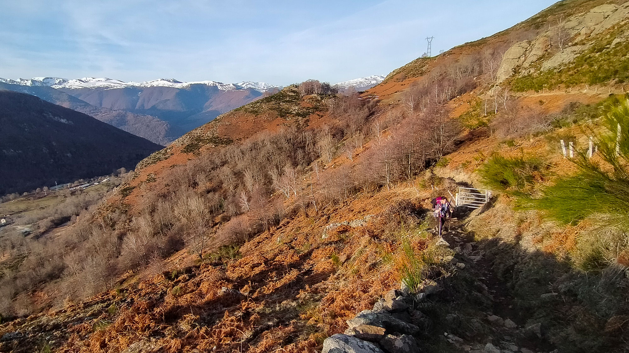
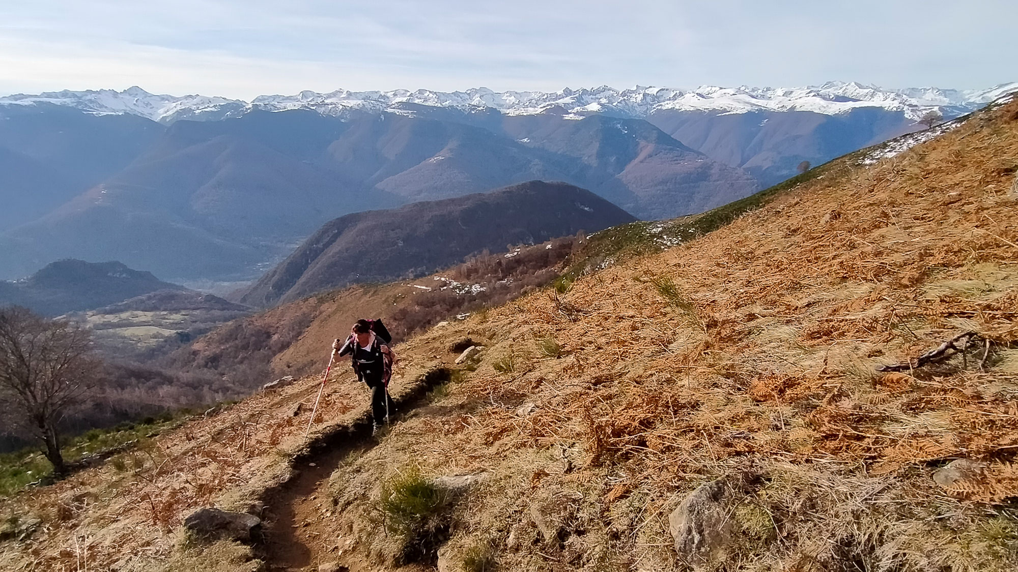
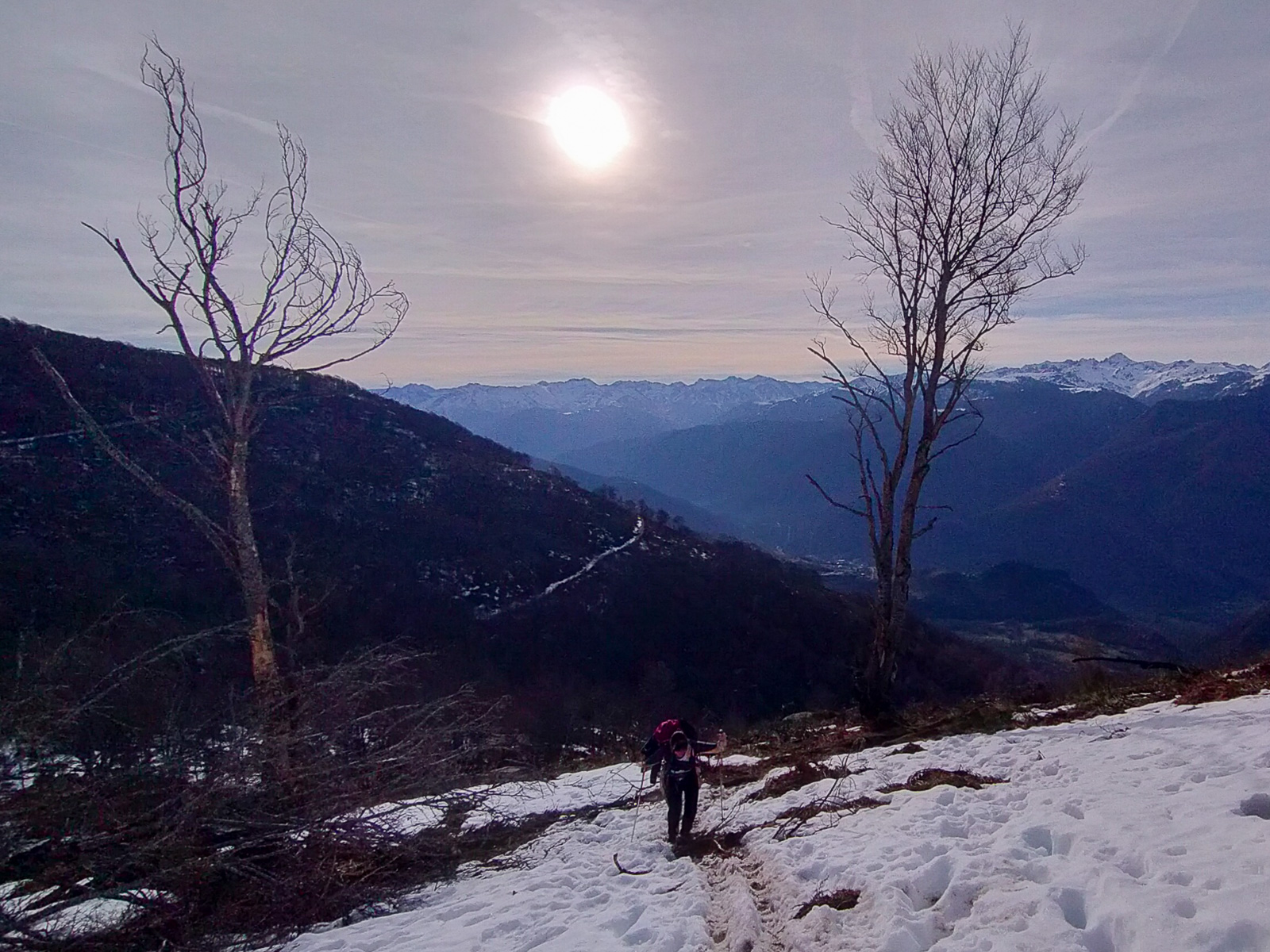
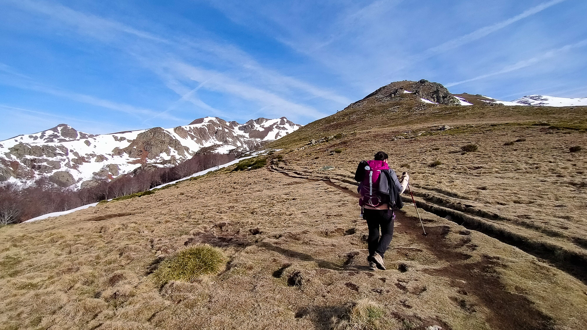
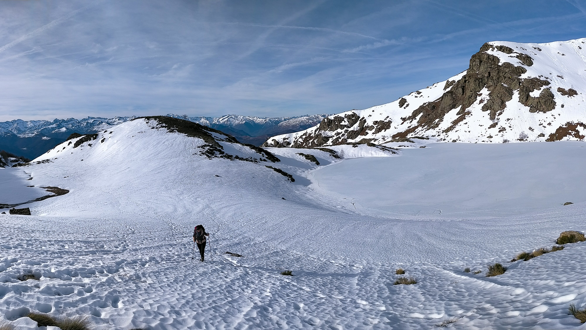
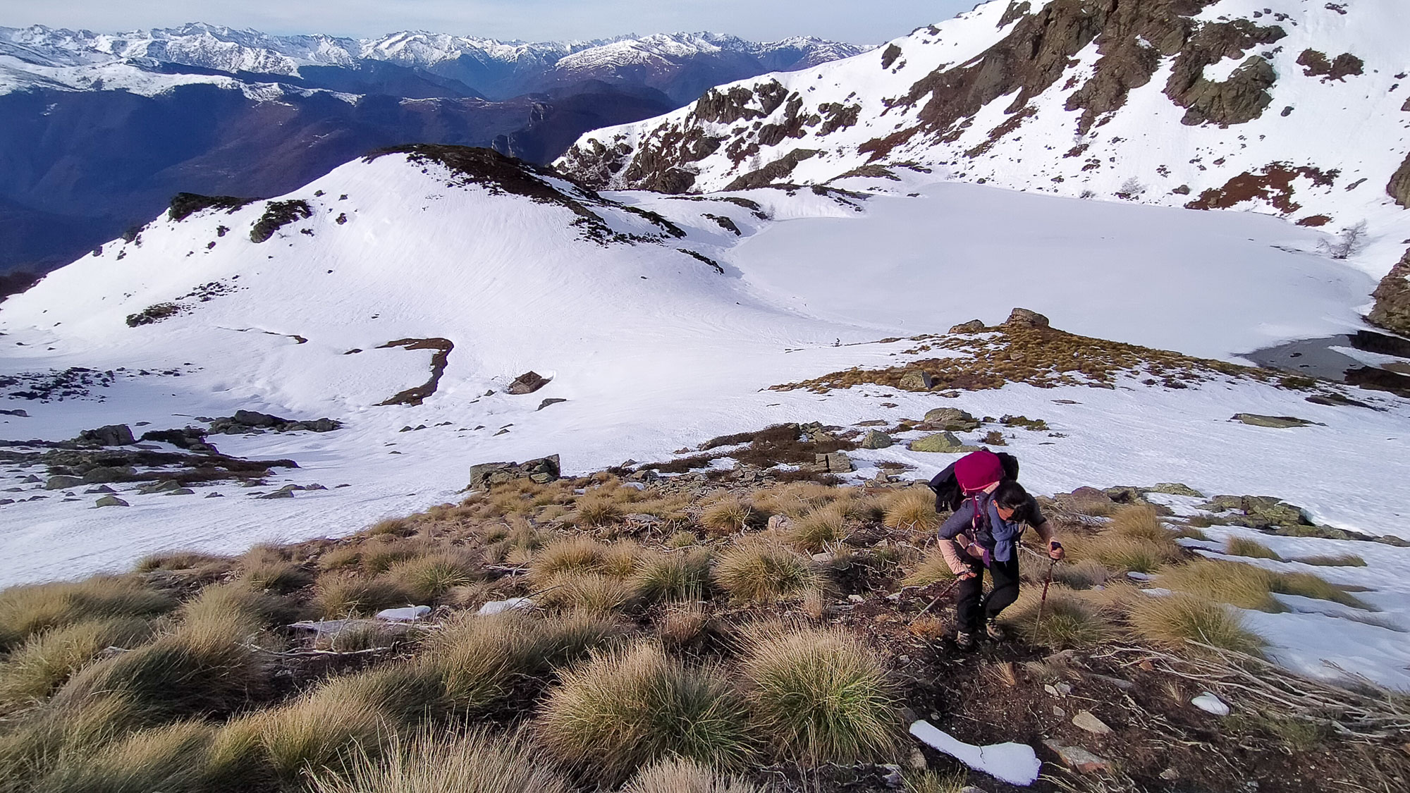
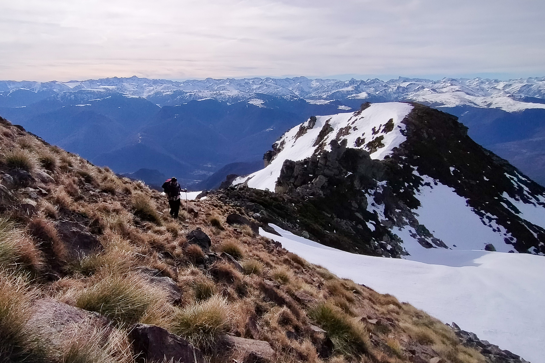
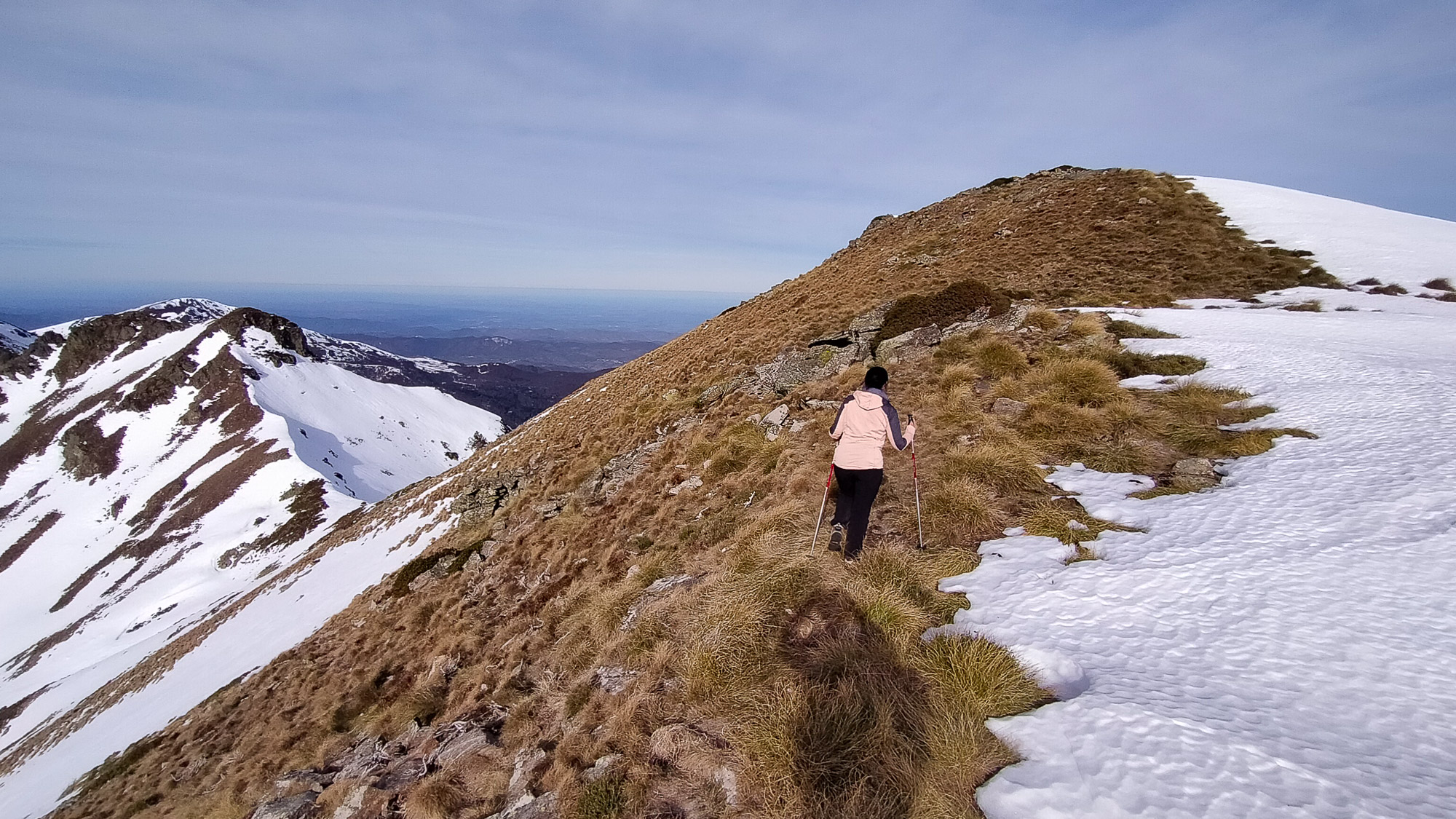
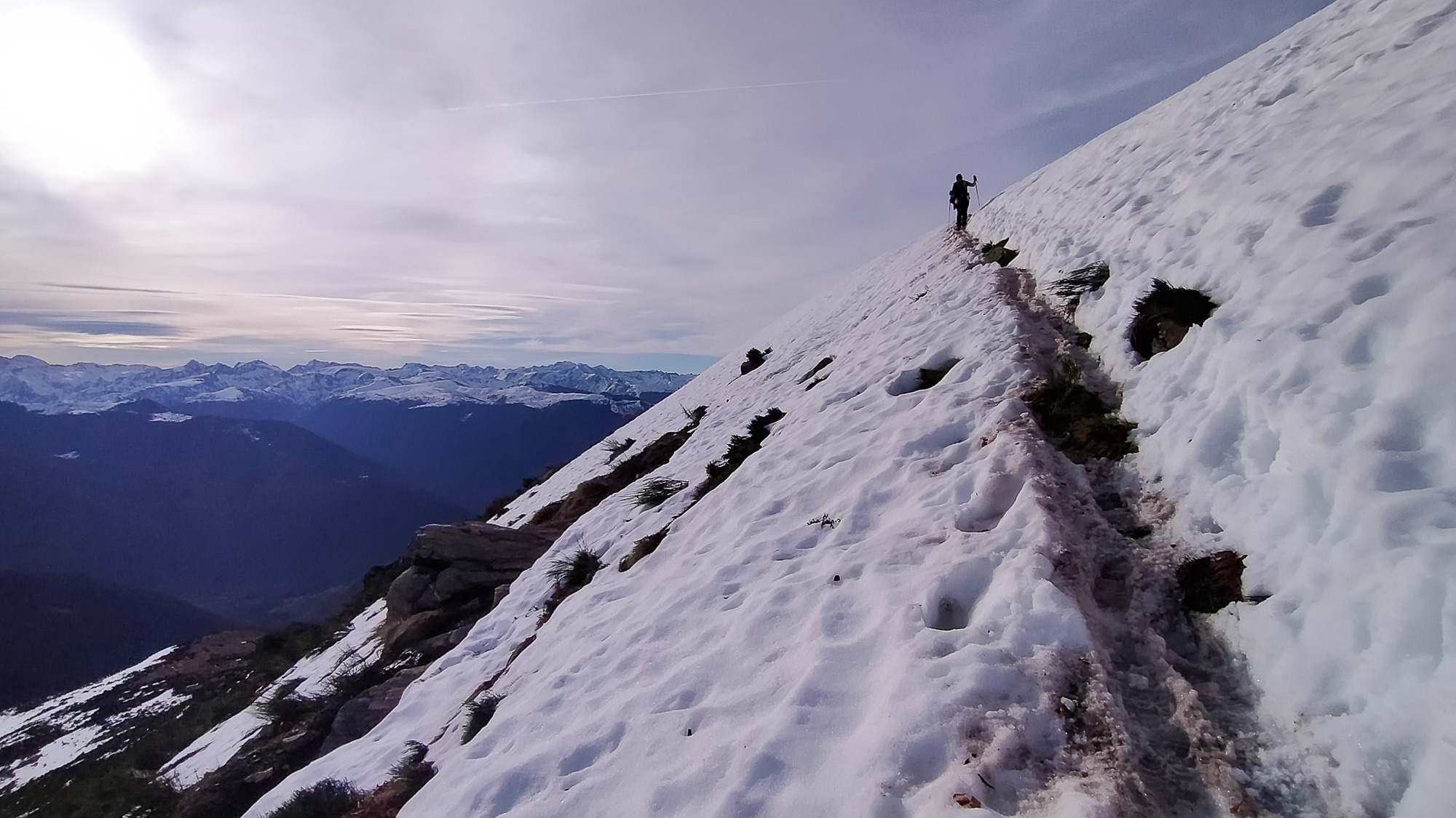
In the center of the Tabe massif, on the south side, the ascent of the Pic de Girabal via the Etang d'Appy is an accessible and varied itinerary offering impressive panoramic views of the Ariège Pyrenees. In summer, you can complete the whole loop and return via Jasse de Sédars. In mid-season or, as now, in the midst of a spring-like winter, you can reach the summit by choosing the less snow-covered, south-facing slopes, and enjoy an incredible descent facing the snow-covered peaks of the Pyrenees for longer. The off-trail route we took (in violet) poses no major orientation problems, but does require us to negotiate a few more exposed passages, including a climbing step (III) to exit onto the ridge.
❱❱ Technical summary
■ Departure point: parking lot above the village of Appy, Tabe massif, Ariège (09)
■ Type of route: almost round-trip high-mountain hike
■ Distance: 11 km
■ Cumulative elevation gain: +1150 m
■ Cumulative negative altitude gain: -1150 m
■ Estimated total time: 5h to 6h
■ Min and max altitude: 1750 m / 2169 m
■ Marking: combination of marked trails (yellow PR) and fairly obvious off-trail sections
■ Equipment: none
■ Equipment required: GPS track if necessary, crampons or snowshoes depending on mid-season snow conditions.
Difficulties: the section above the lake to reach the ridge is steep and a little exposed.
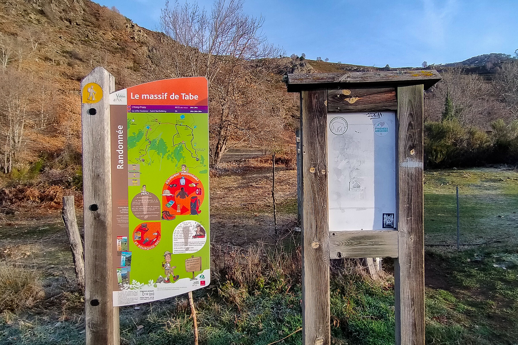
❱❱ Access to the place
On the N20 between Tarascon and Ax-les-Thermes, enter Luzenac and follow the road to Lordat and Axiat. Once in Lordat, follow the signs to Axiat, then on to Appy. In the village, turn right up to a parking area for hikers, where the path to the Etang d'Appy starts.
❱❱ Map & topo
In purple, the indicative route to join the ridge leading to the Pic du Giraral from the pond, to avoid the pass path if very snowy. In yellow, the complete loop returning via the Col de Girabal and the Jasse de Sédars hut in summer conditions (no snow).
❱❱ Itinéraire
The description below corresponds to the day's itinerary, i.e. the purple route, avoiding the Col de l'Etang d'Appy and returning via the South Ridge.
Topo of the complete loop returning via the Col de Girabal and the Sédars hut on the Larcat commune website.
See the topos for other loops in the Tabe massif: Pic Saint-Barthélémy and Pic Soularac, Pic Galinat and Pic du Han, Mont Fourcat.


Leave a Reply