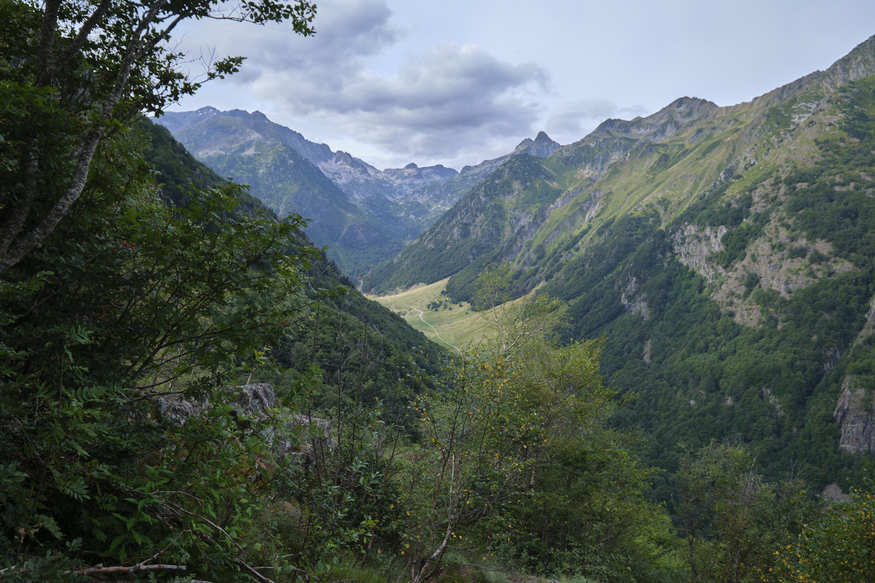
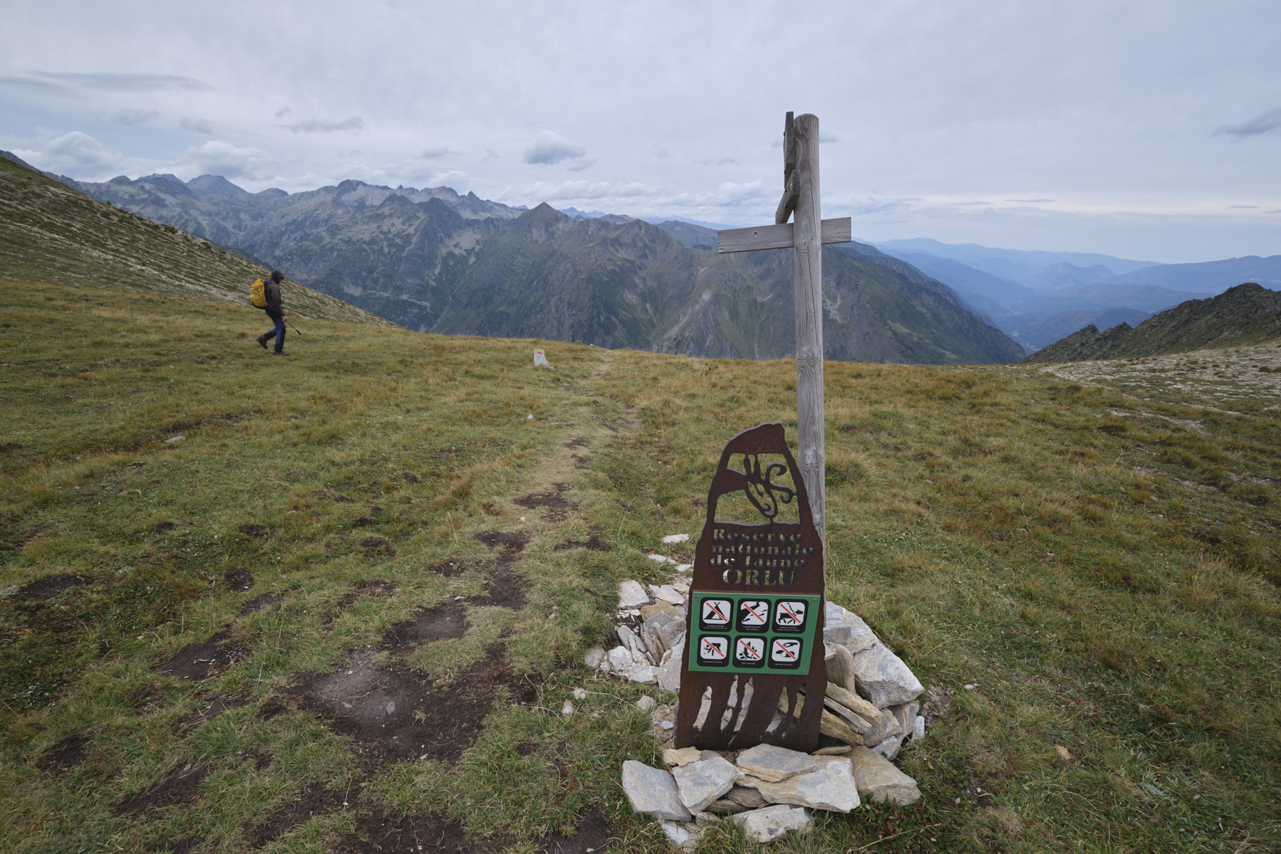
Access to Puig de Terrers via the valley leading to Porteille d'Orlu offers spectacular aerial views over the Oriège valley towards the En Beys ponds, and marks the start of a long, undulating ridge that joins Puig de Morters and Puig de la Portella Gran further south. The descent to the west via the Costa de Morters also affords fine views over the valley, before reaching the Prairies de Gaudu at the very bottom. A physically demanding hike, with a bit of route reading and some very steep sections to overcome.
❱❱ Technical summary
■ Departure point: Fanguil parking lot, Oriège valley, Orlu, Ariège (09)
■ Type of route: high-mountain loop hike
■ Distance: 19.50 km
■ Cumulative elevation gain: +1350 m
■ Cumulative negative altitude gain: -1350 m
■ Estimated total time: 7h to 8h ■ Min and max altitude: 1140 m / 2532 m
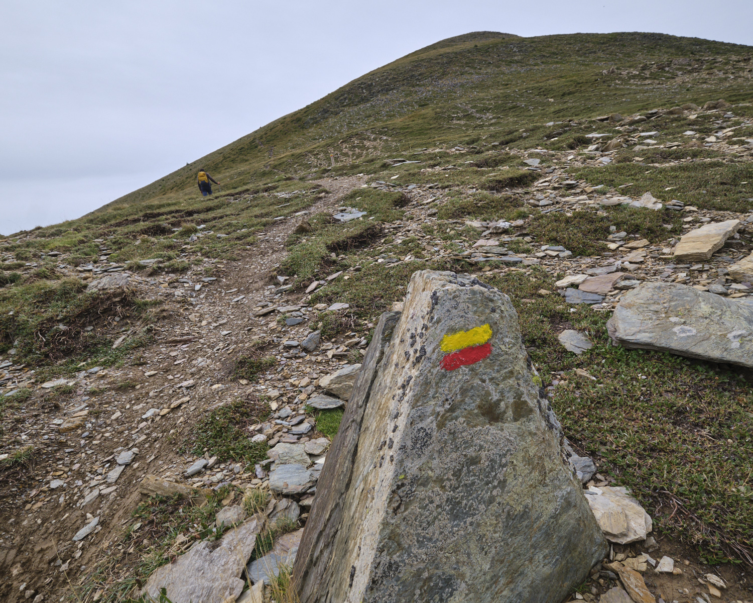
■ Markings: GR7, GRP Tour des Pérics, unmarked trails and one off-trail section
■ Equipment in place: none
■ Equipment required: useful GPS track
Difficulties: in addition to the height difference and long distance, the section to reach the Recantous shoulder is very steep and off-trail.
❱❱ Access to the place
On leaving Ax-les-Thermes on the N20 towards Andorra, turn left towards Orgeix and Orlu. Go through the 2 villages and continue along the road to the Fanguil parking lot.
❱❱ Map & topo
The off-trail section up the couloir to the Recantous shoulder is indicative.
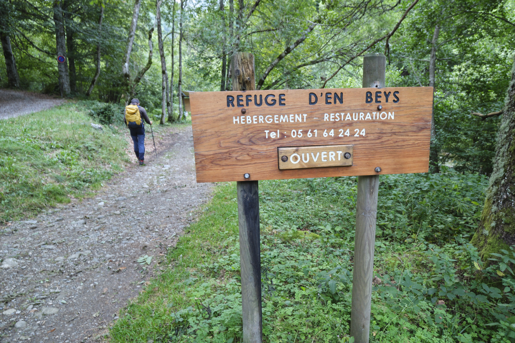
1st section: from the Fanguil parking lot to the foot of Porteille d'Orlu
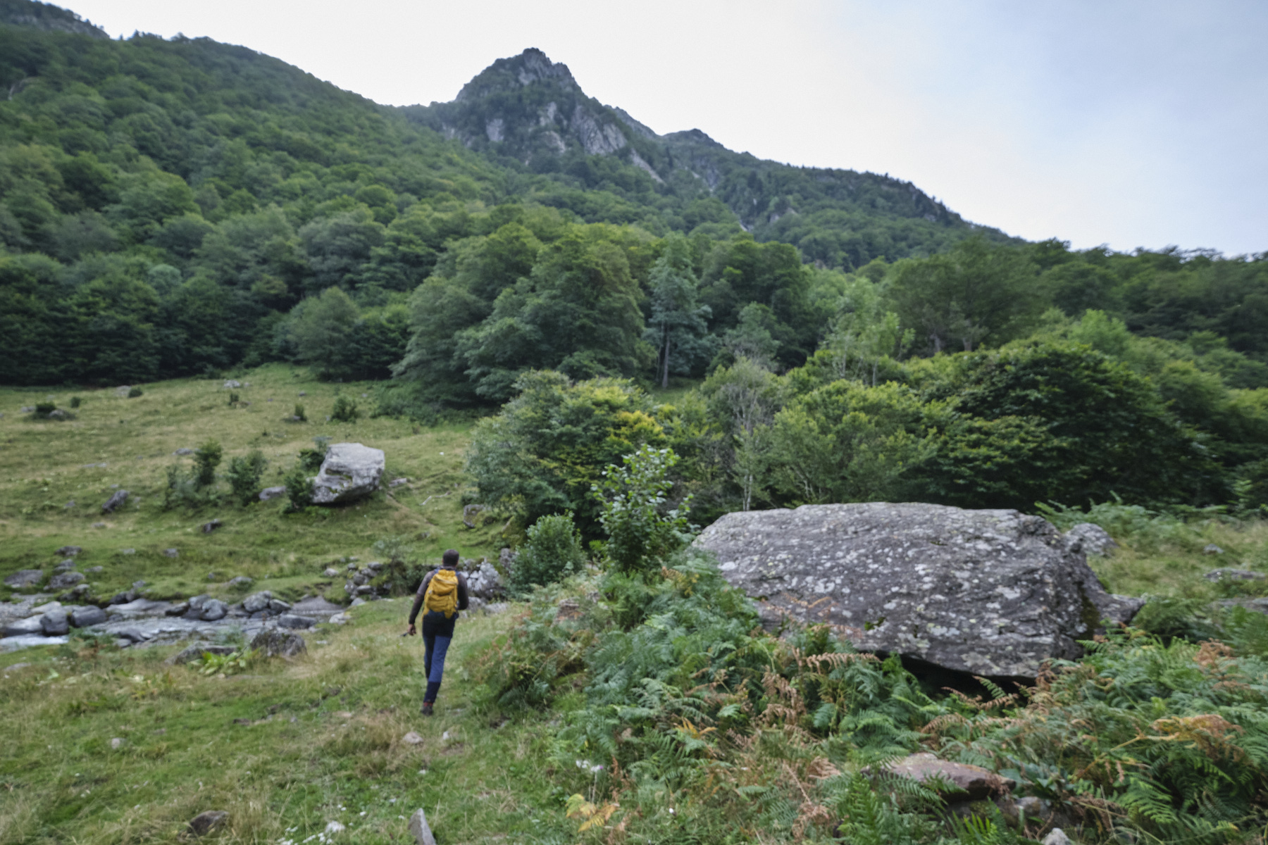
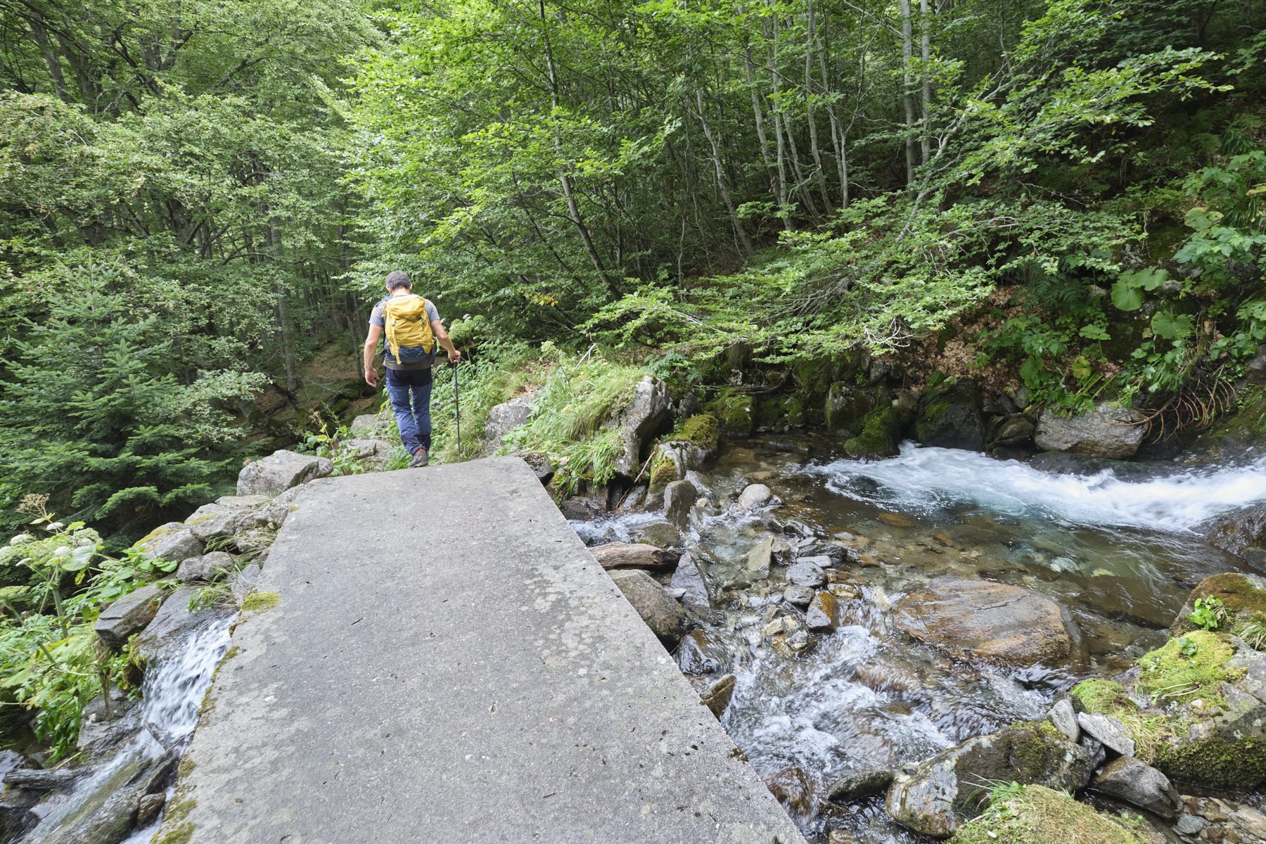
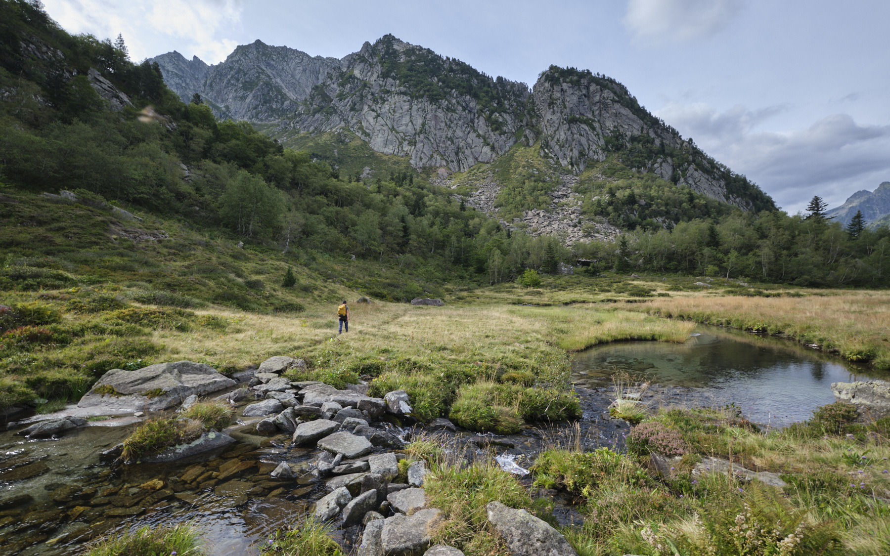
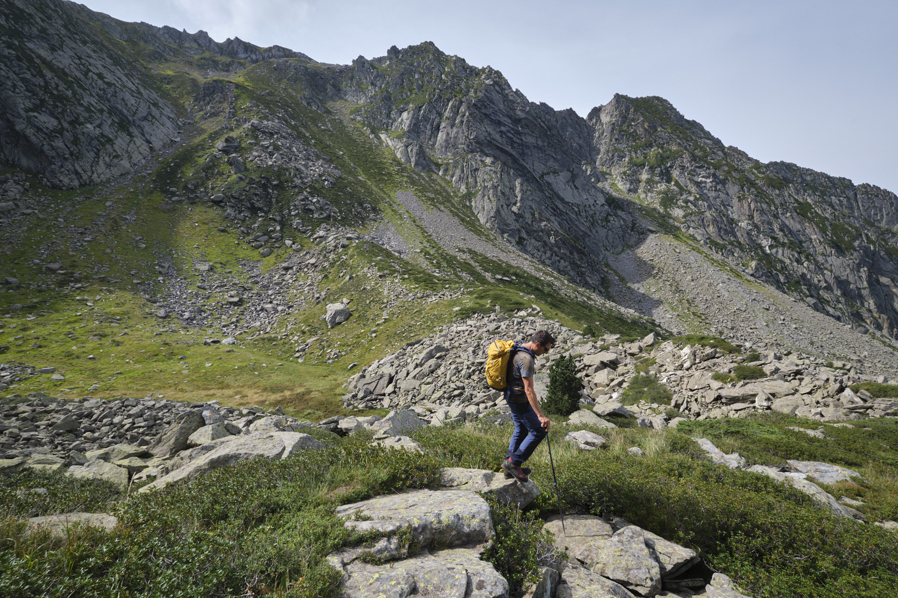
Take the wide forest path towards the En Beys refuge, running alongside the Oriège river. After approx. 2.5 km, at a bend in the road, turn right onto the GR7 towards Mijanes. Cross the Oriège and take a path that climbs steeply and steadily through the forest, heading east. Higher up, the path bends northwards, crosses the Baxouillade stream and then descends steeply again. At around 1630m, the trail bends to the right and heads south-east, eventually emerging at a jasse where the stream is crossed again. Immediately afterwards, a 3rd steep section to climb, still on the GR7.
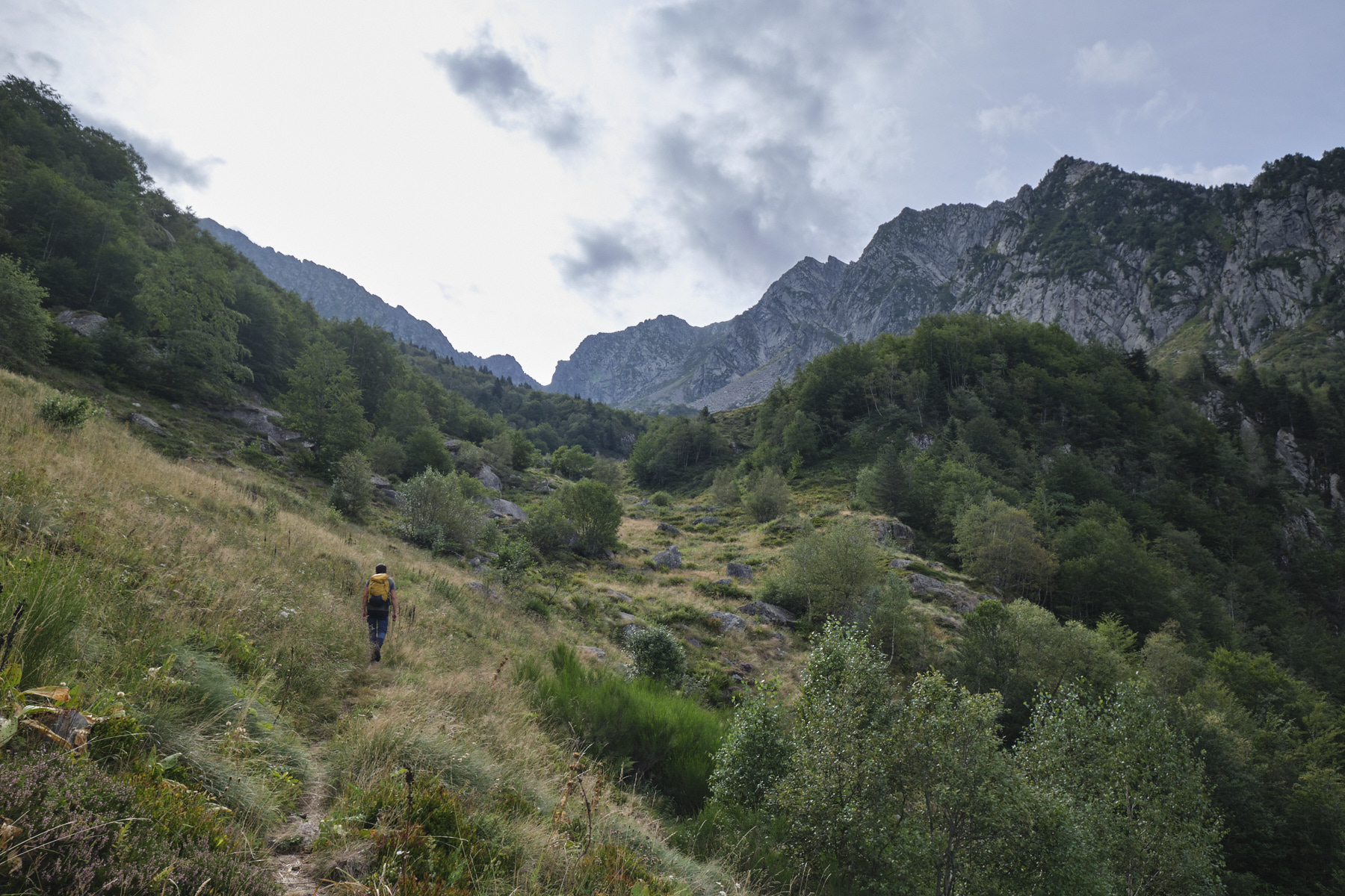
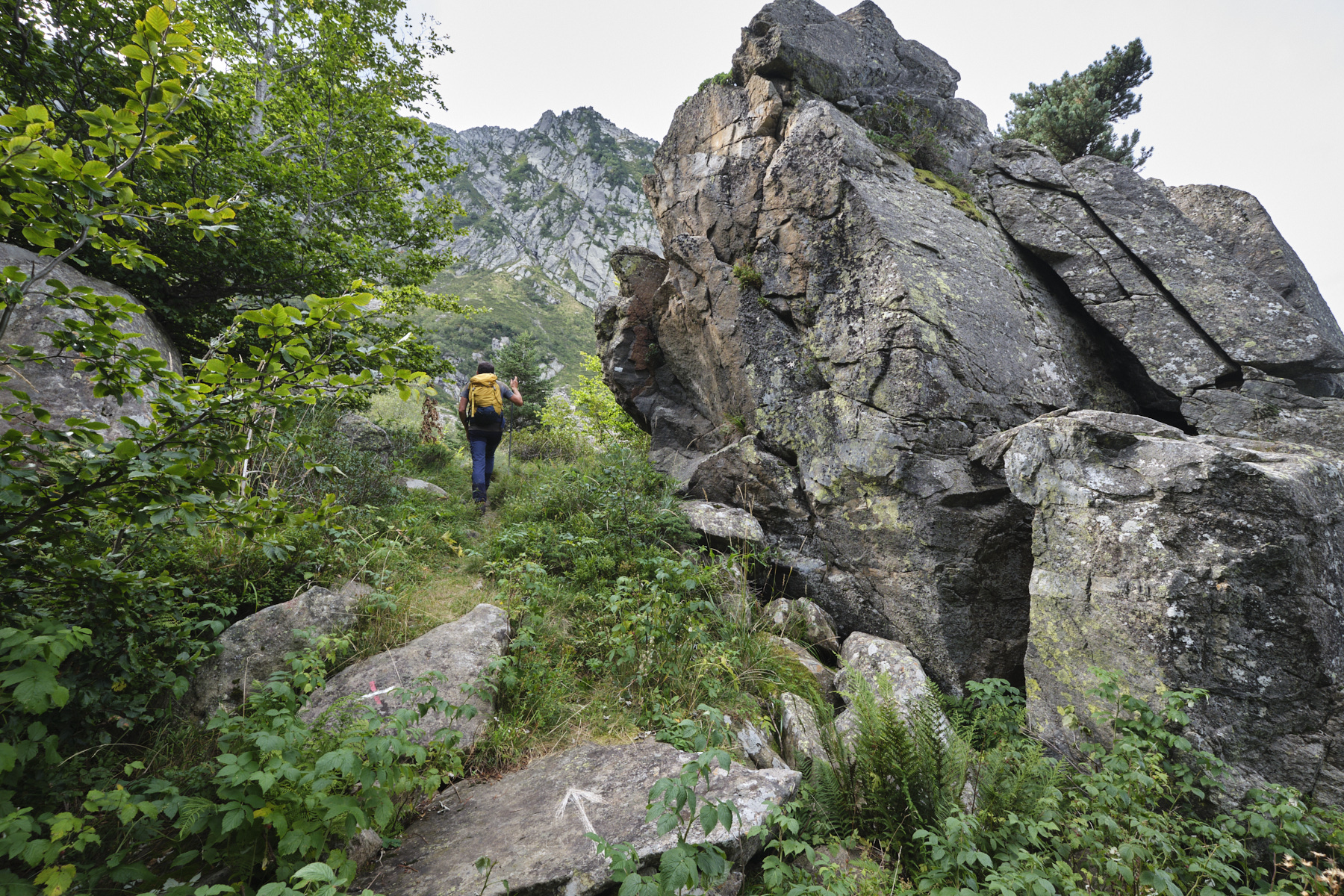
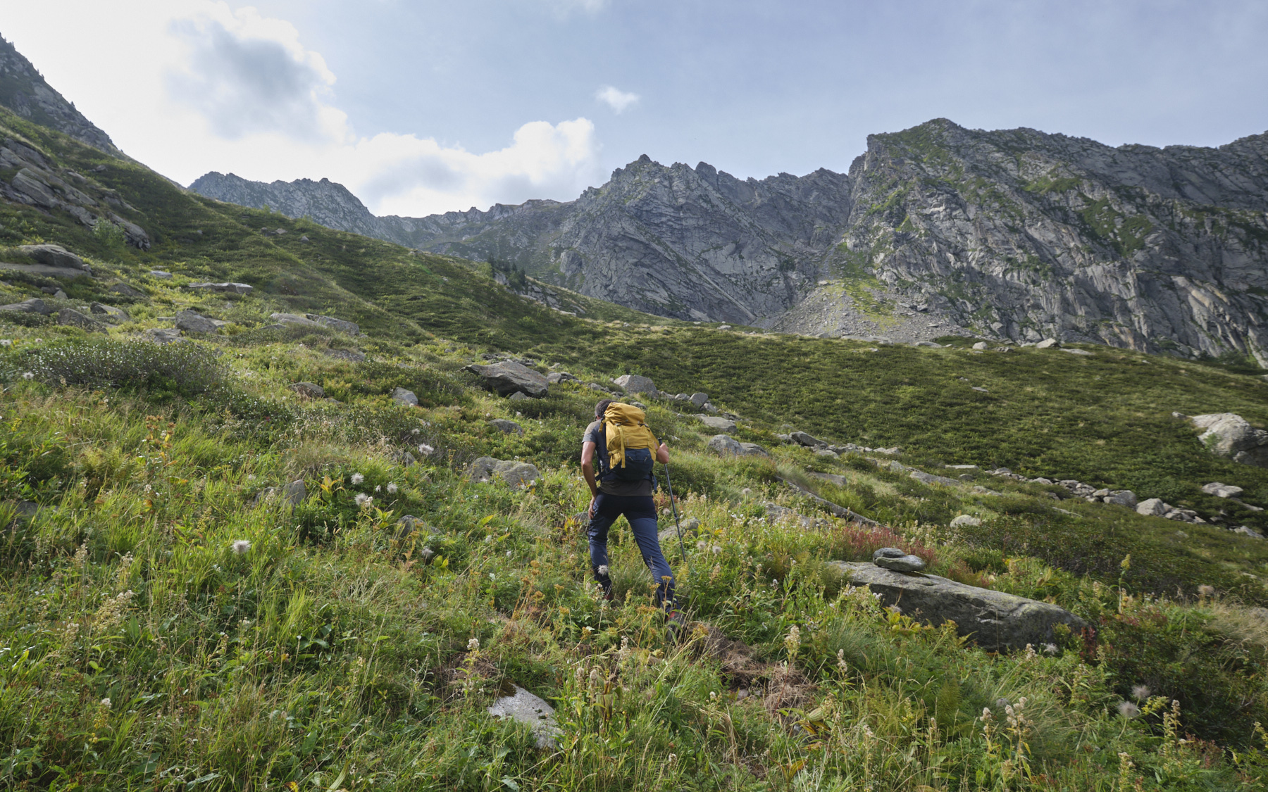
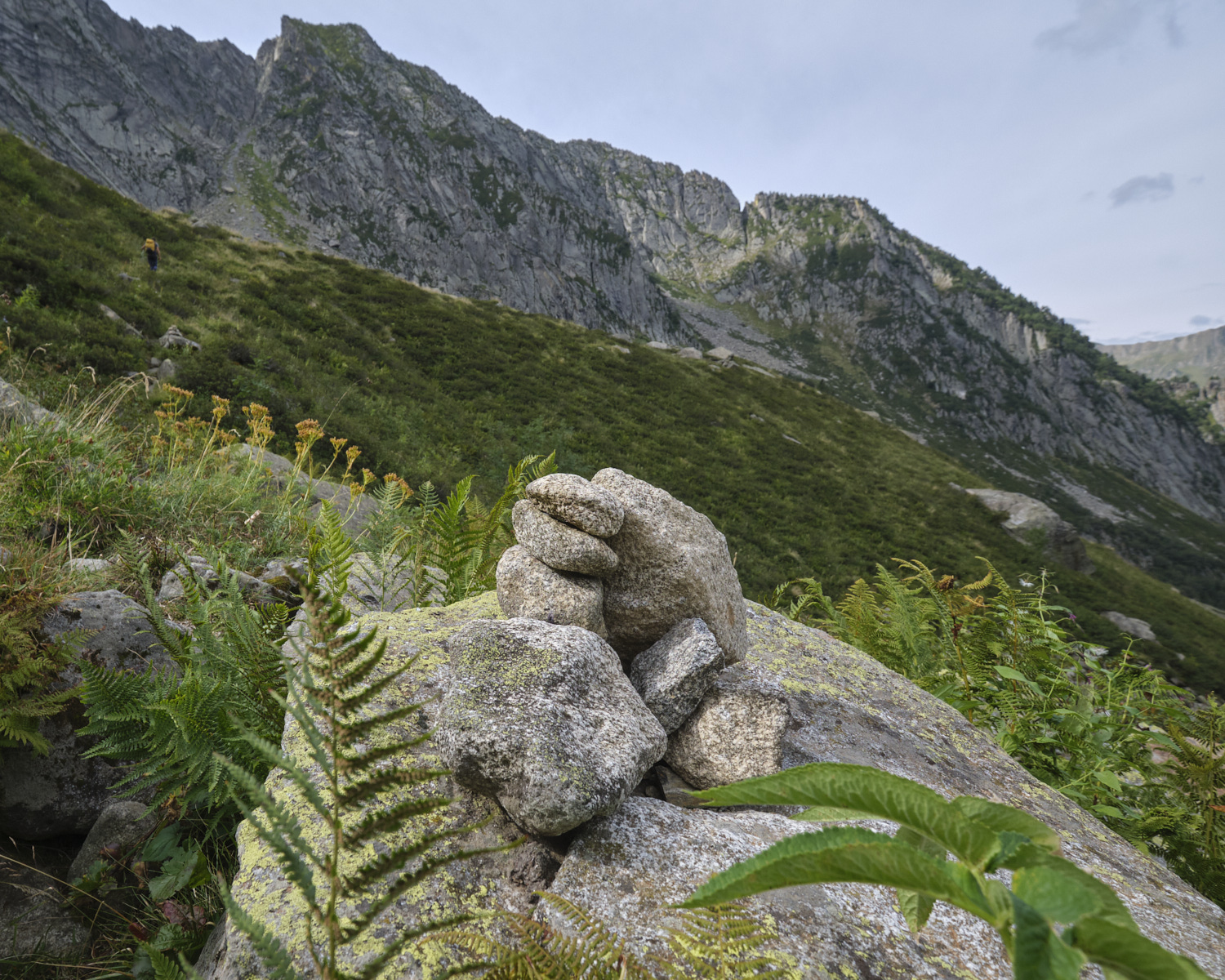
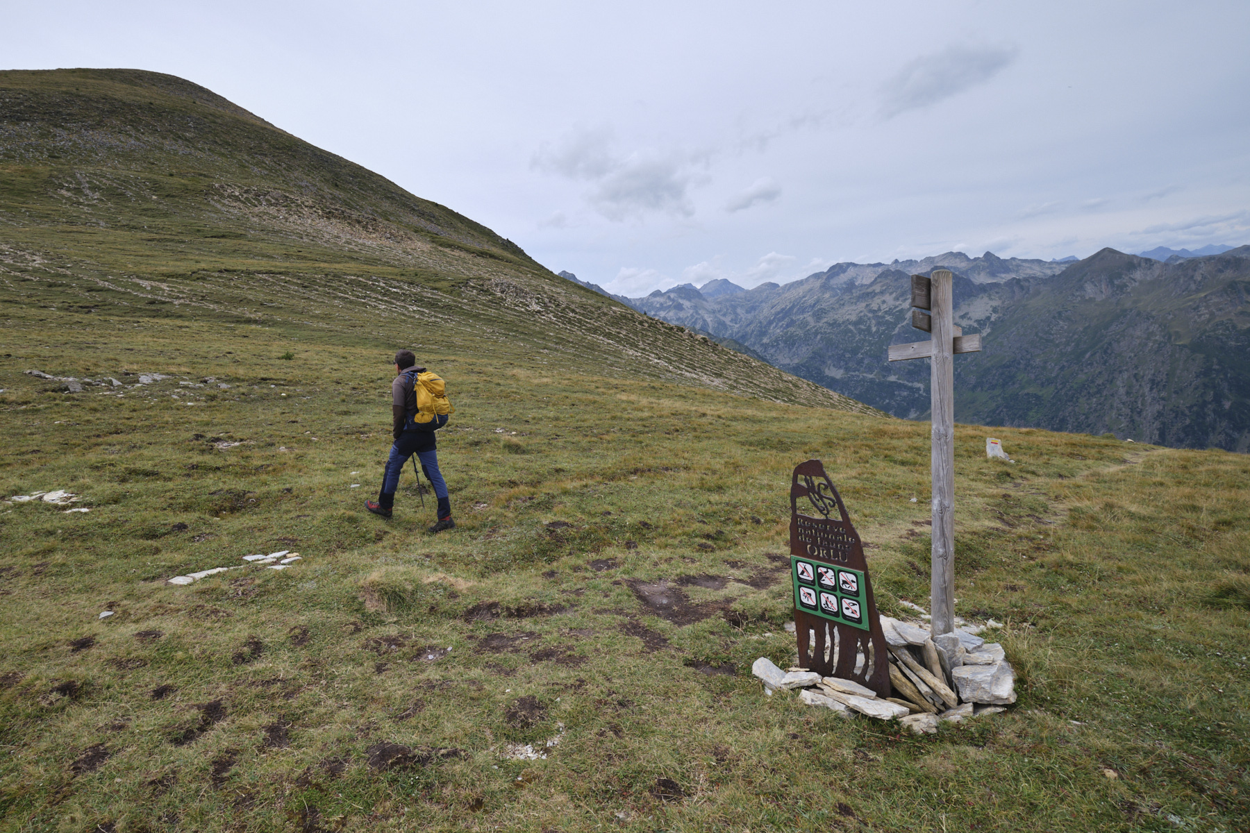
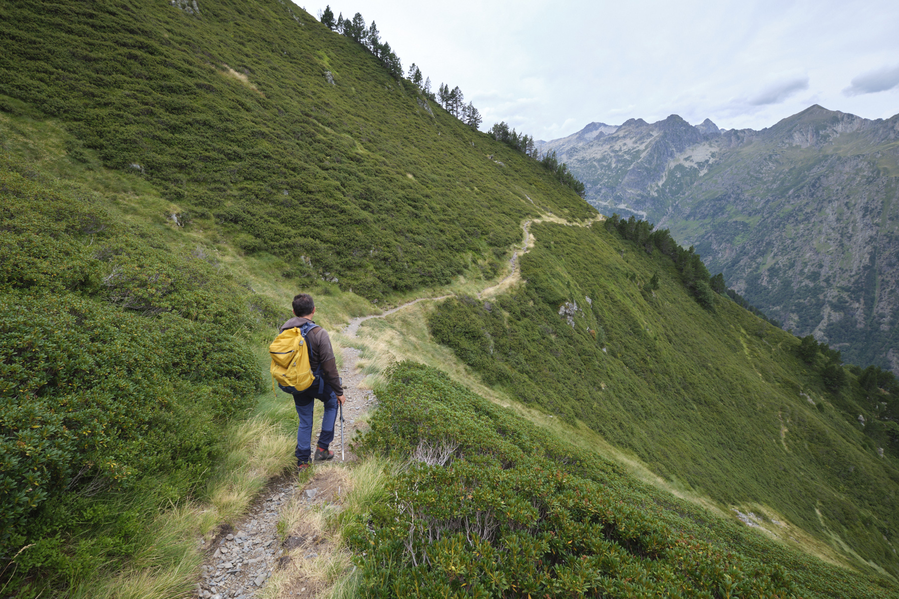
Keep your eyes peeled as the fork is not clearly visible. At a huge boulder on the right of the GR, look out for the start of a narrower, less visible path on the right. There's a white arrow on a boulder at this point. This is the route to Porteille d'Orlu, an unmarked path that is not always clearly visible. There are occasional cairns. The route is fairly straightforward, leading up the valley in successive steps, with the ridges to the left of the Recantous and the very pronounced Porteille d'Orlu gap in your sights.
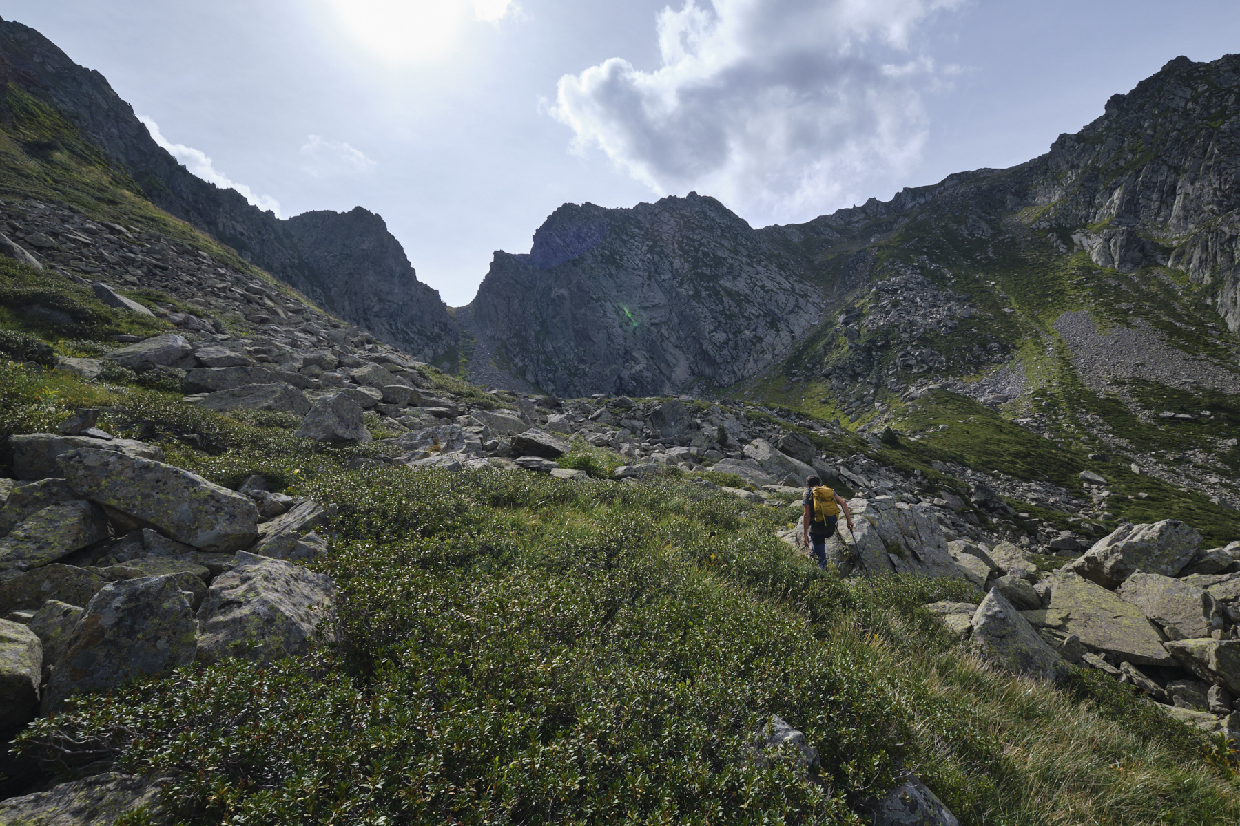
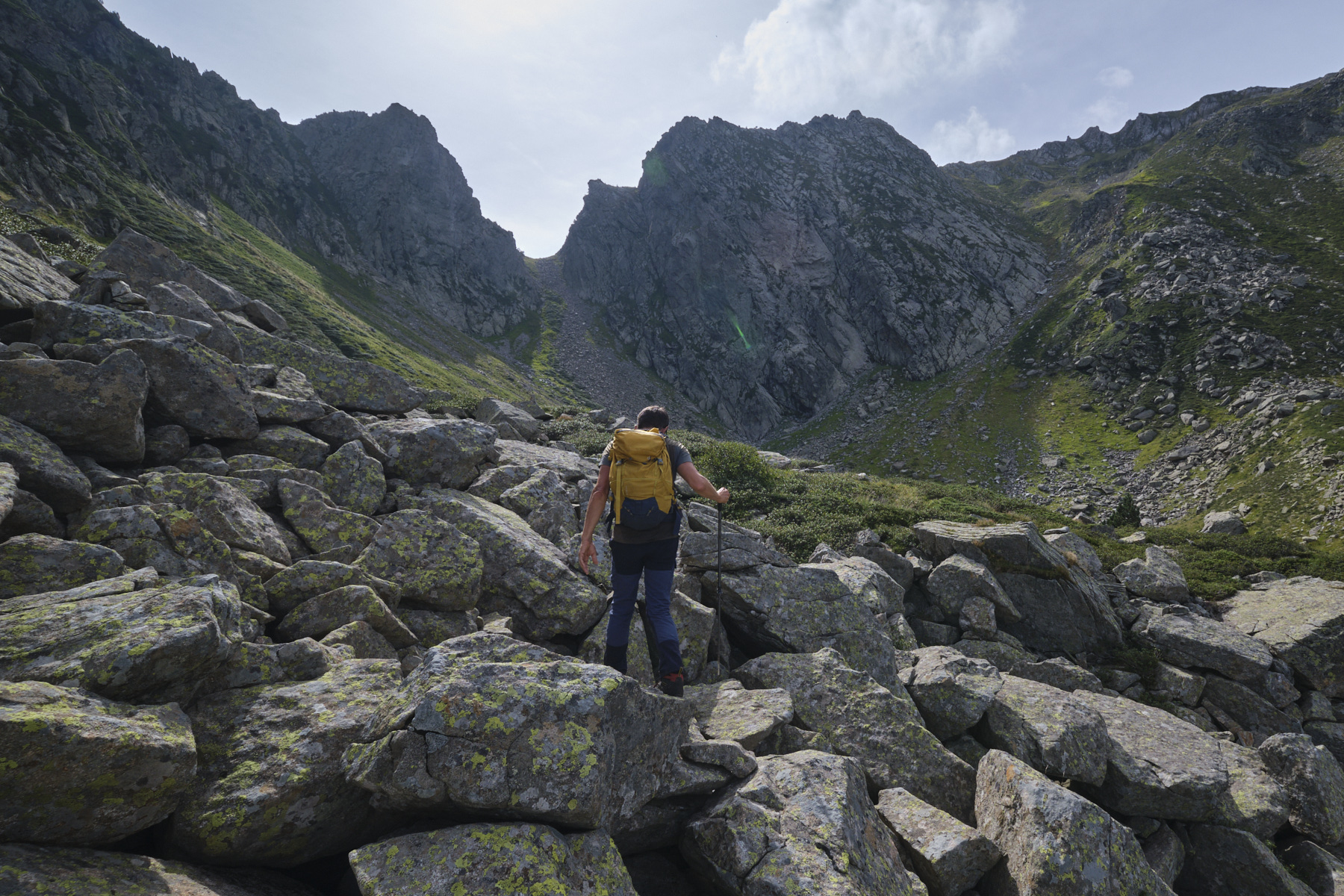
After a large S to cross the last hump on the left, the path crosses scree and ends at the level of the upper basin, almost at the foot of the final couloir leading to Porteille. We're at around 2100m altitude. In front of us is La Porteille, and to the right to the south are the wide, steep couloirs leading up to the ridges.
Part 2: from the Recantous shoulder to Puig de Terrers (2532m)
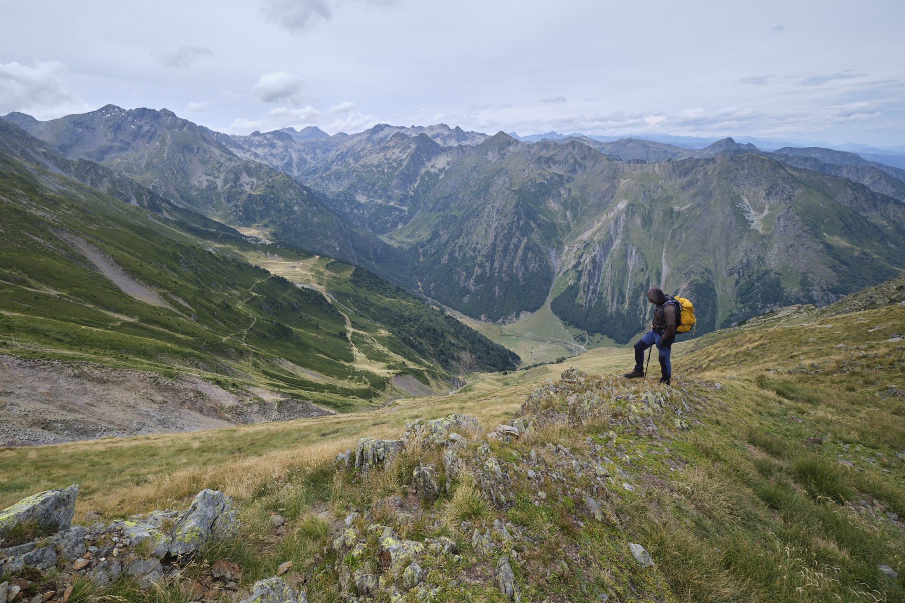
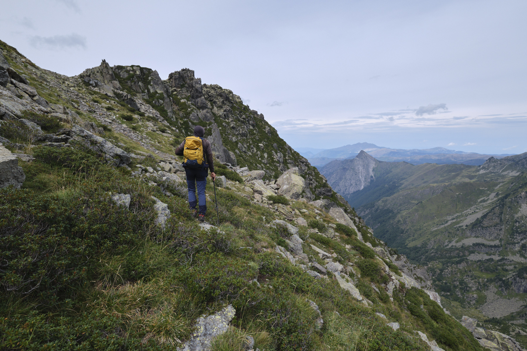
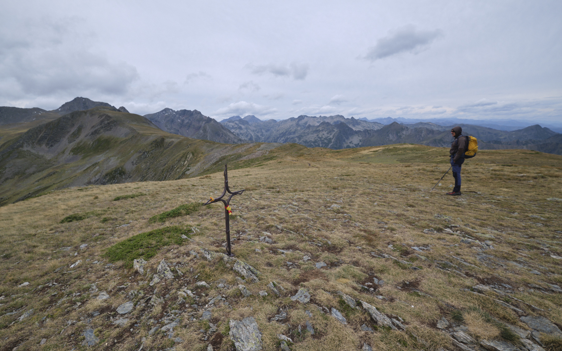
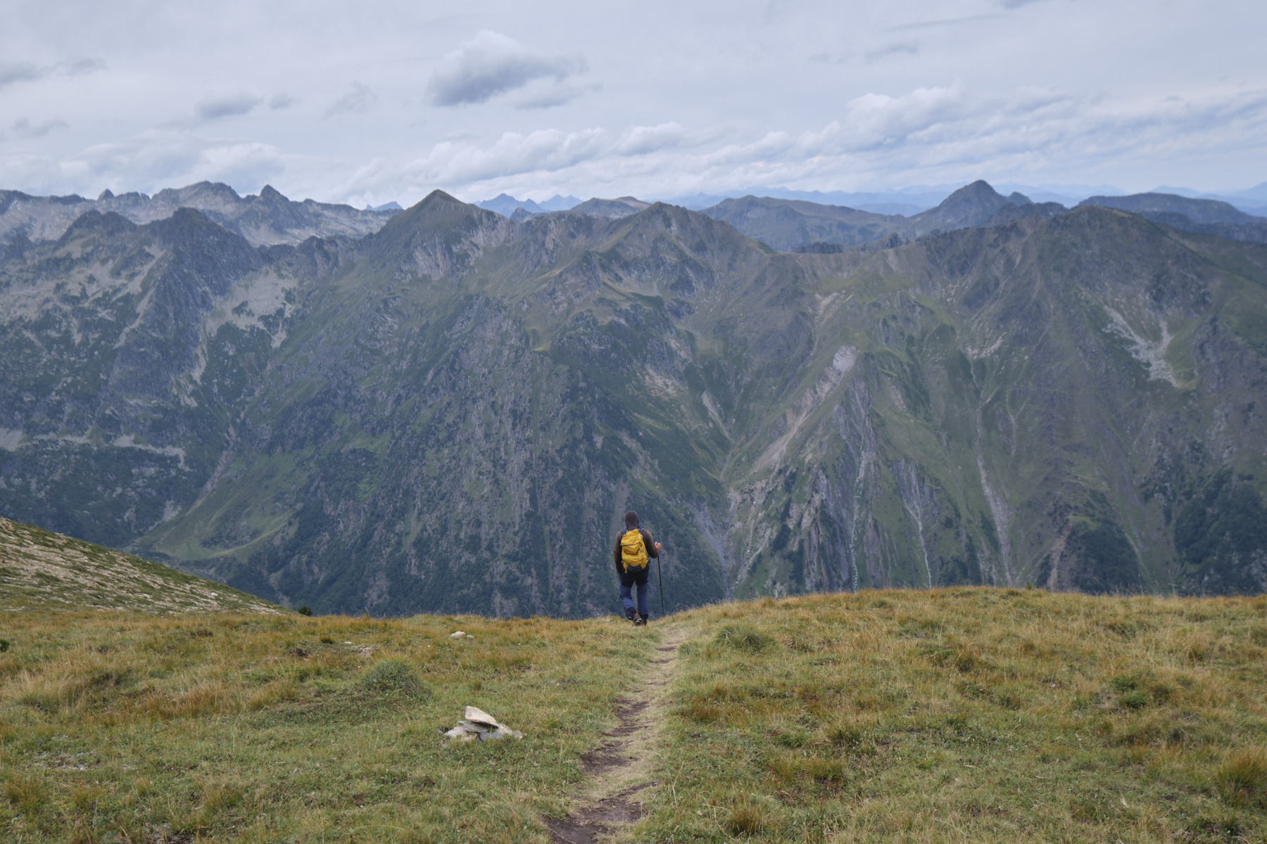
At this point, head due south to join the broom- and stone-covered corridors leading to the ridges. There is no path, but the route is obvious. You have to manage to thread your way through the broom areas, using the lines of rocks that probably mark water flows. It's steep, even very steep, and you have to use your hands in places to make headway. Higher up, skirt around the Recantous bars on the left, then turn right to gain a foothold on a shoulder above the Recantous. You then switch to the south-western slope, with the best view of the upper Oriège valley (photo on top).
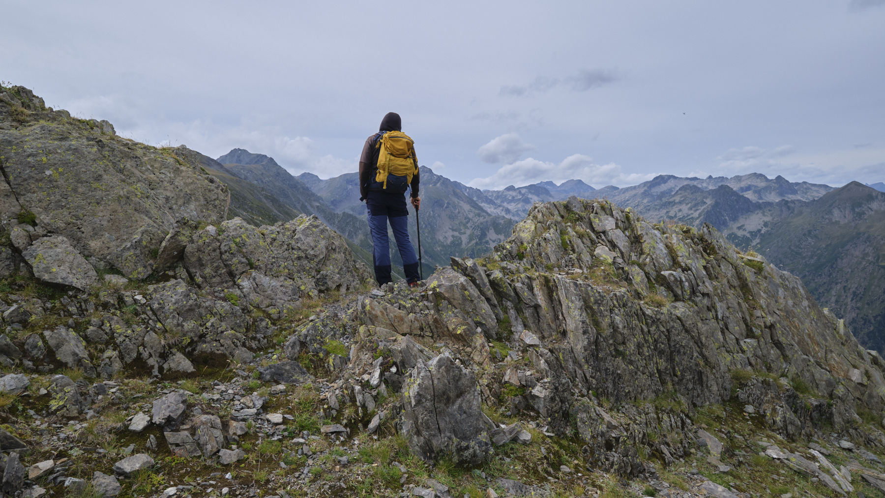
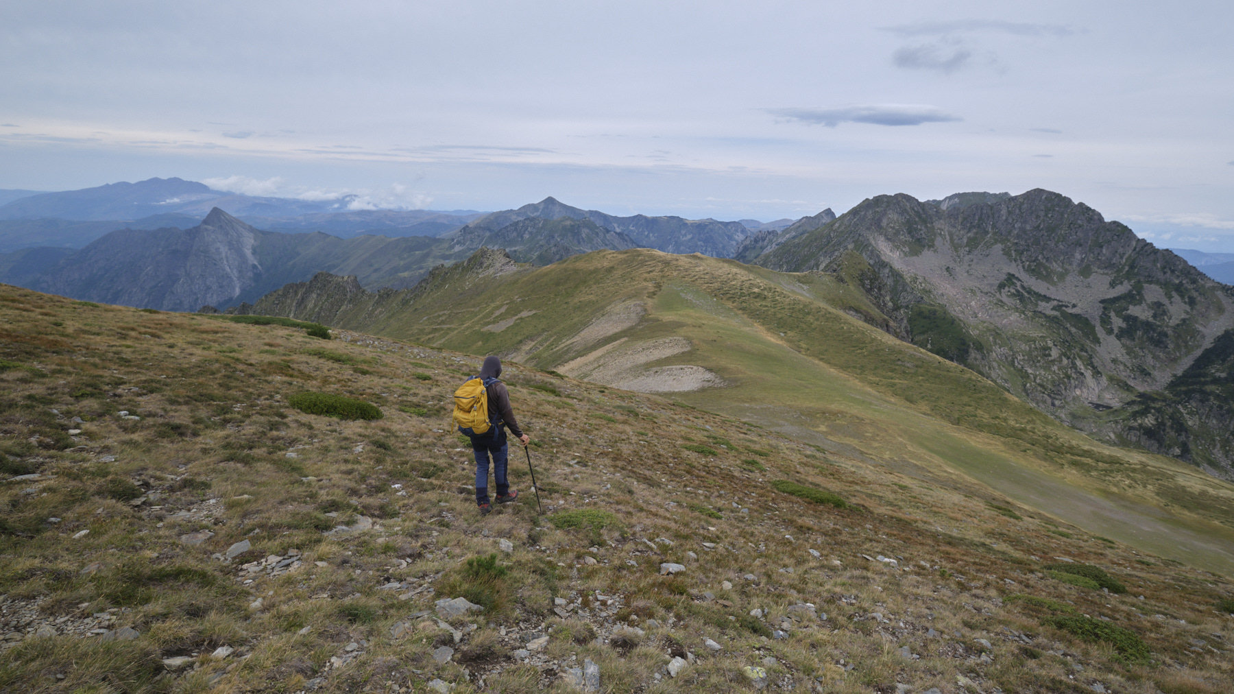
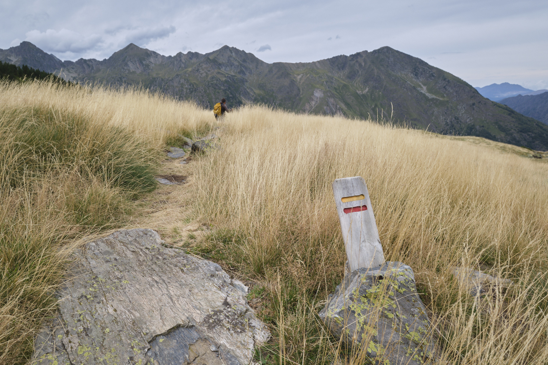
Cross over to the southeast towards the Col de Terrers, which is clearly visible. We walk on an easy gispet slope to reach the col at 2407m, where we cross the GRP Tour des Pérics. The GRP then takes you up the rounded back of Terrers to the summit of Puig at 2532m. From here, you can see the whole ridge stretching south towards Puig de Morters and beyond.
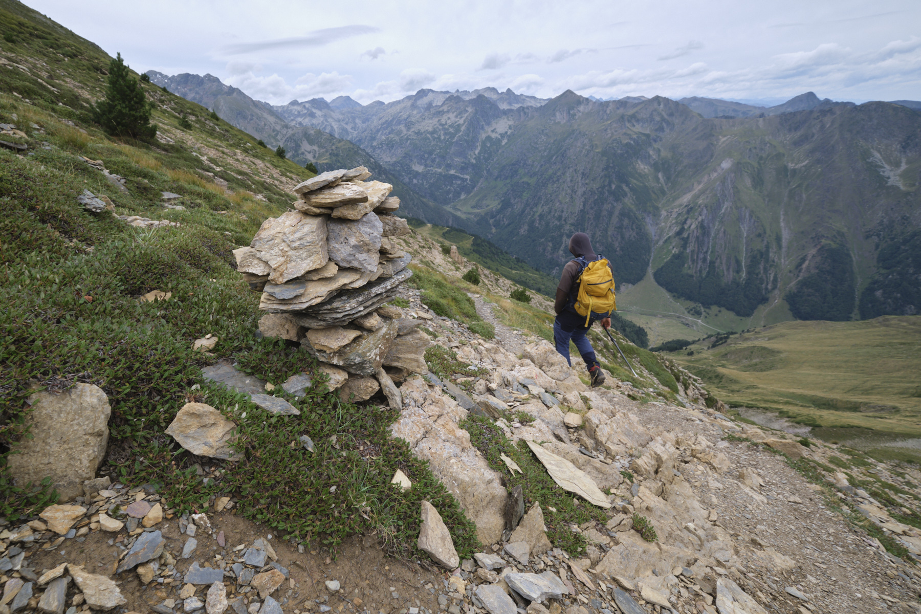
3rd part: from Puig de Terrers to the Fanguil parking lot via Costa de Morters and Prairies de Gaudu
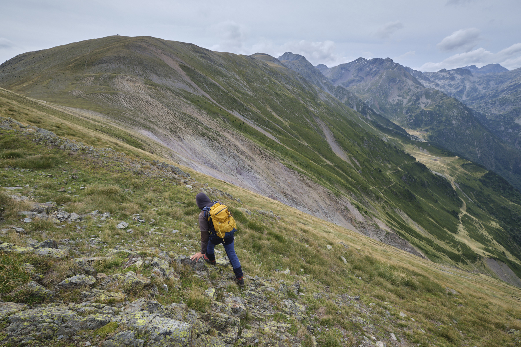
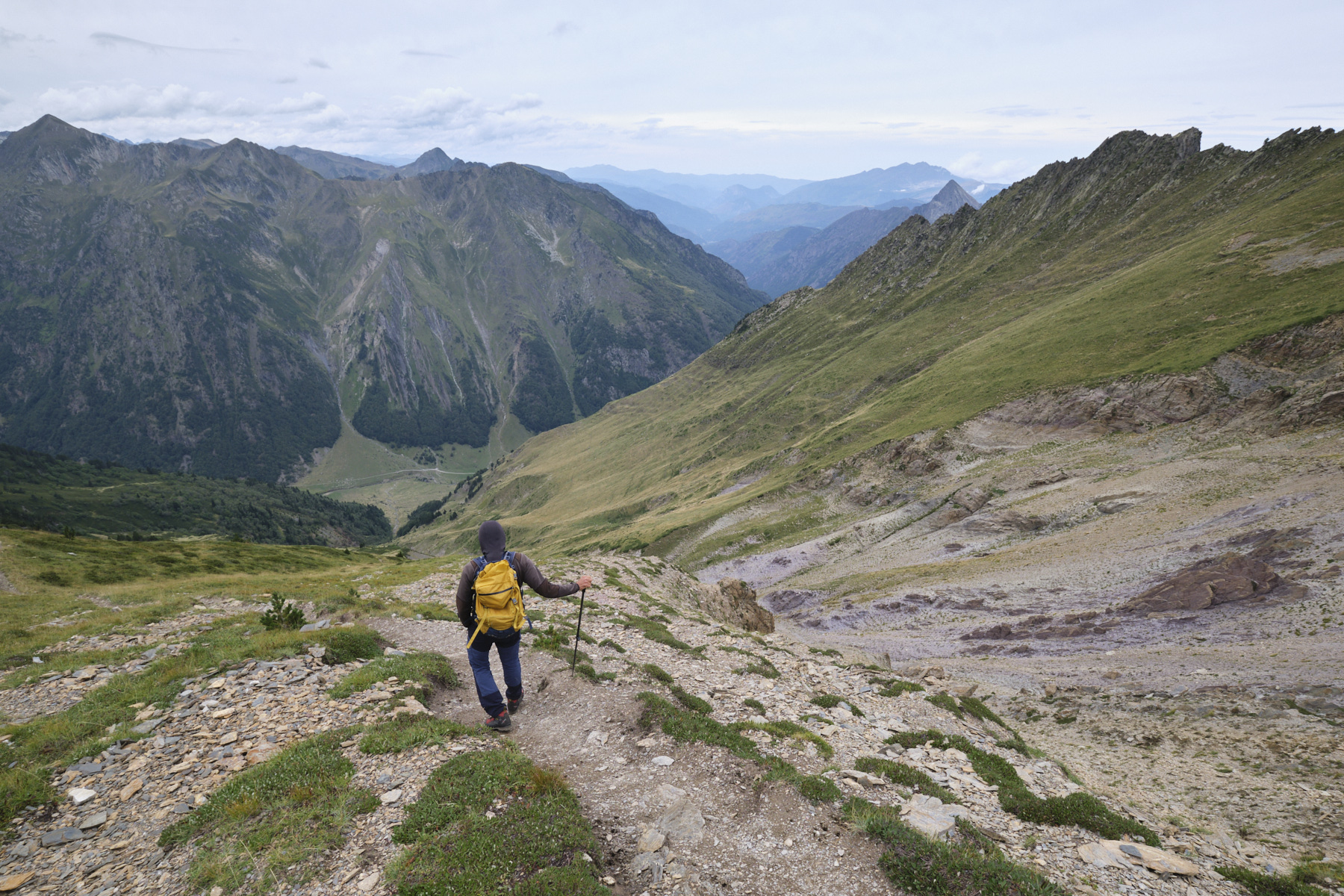
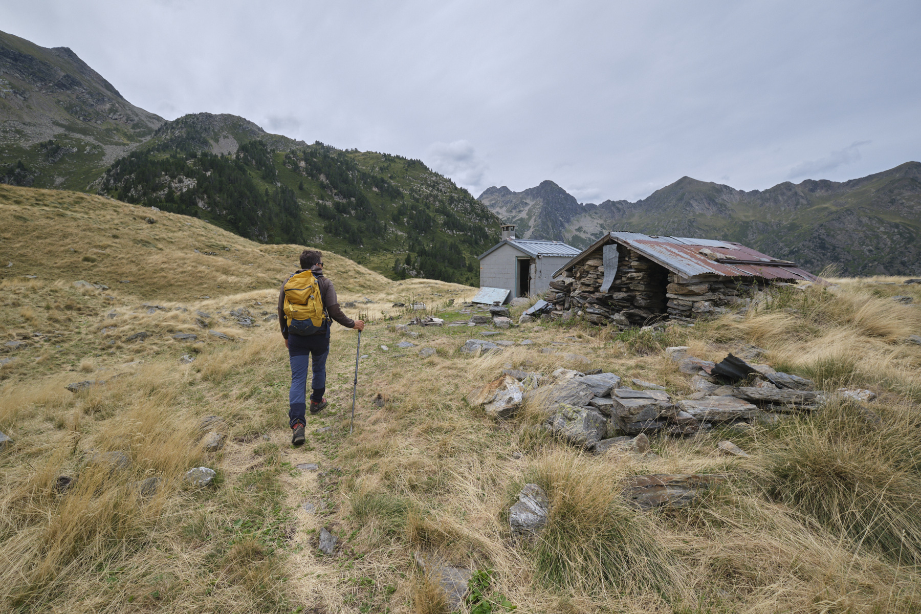
Retrace your steps to the pass and then, following the GRP, turn west. The path descends in a south-westerly direction, following the contours of the Costa de Morters as far as the Jasse des Espagnols and its hut planted in the middle of a field of straw-yellow savannah grass. Continue along the GRP, passing the Jasse de Deçà then the Jasse de Delà and its hut. Continue a little further and, just before the water intake, leave the GRP and turn right, due north, without crossing the Grande Porteille stream.
Follow this unmarked but well-marked path down the west-facing slope to the valley floor, cross the Oriège and rejoin the main GR7 trail. From here, it's easy to return: 5km of trail through the marmot-filled Prairies de Gaudu, then along the lower Oriège to the Fanguil parking lot.


 Partager sur WhatsApp
 Partager sur Twitter
Partager sur Instagram
Partager sur Twitter
Partager sur Instagram

 Partager sur Facebook
 Imprimer le topo
 Laisser un commentaire


Leave a Reply