


TOPO Hiking | CLIMBING7.COM
Publié le
 Partager sur WhatsApp
 Partager sur Twitter
Partager sur Instagram
Partager sur Twitter
Partager sur Instagram

 Partager sur Facebook
 Imprimer le topo
 Laisser un commentaire
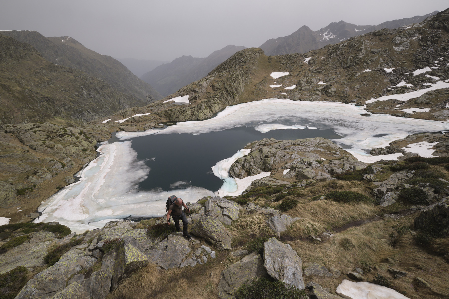
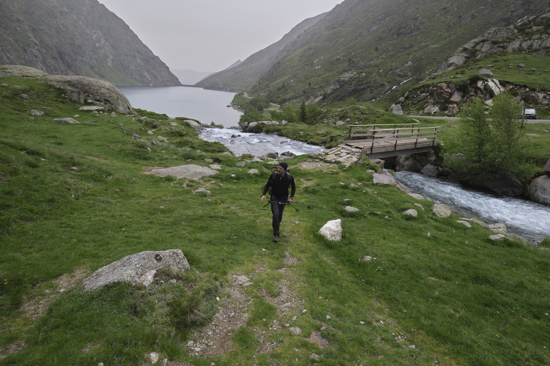
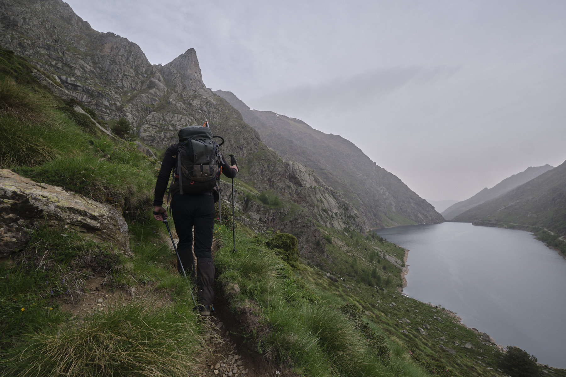
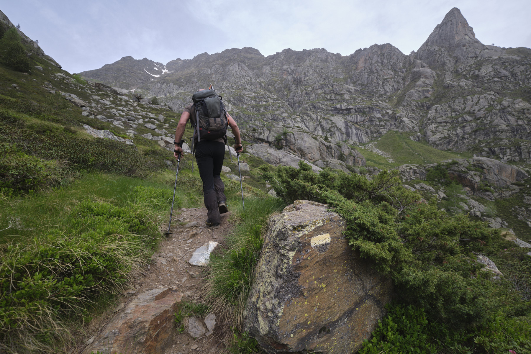
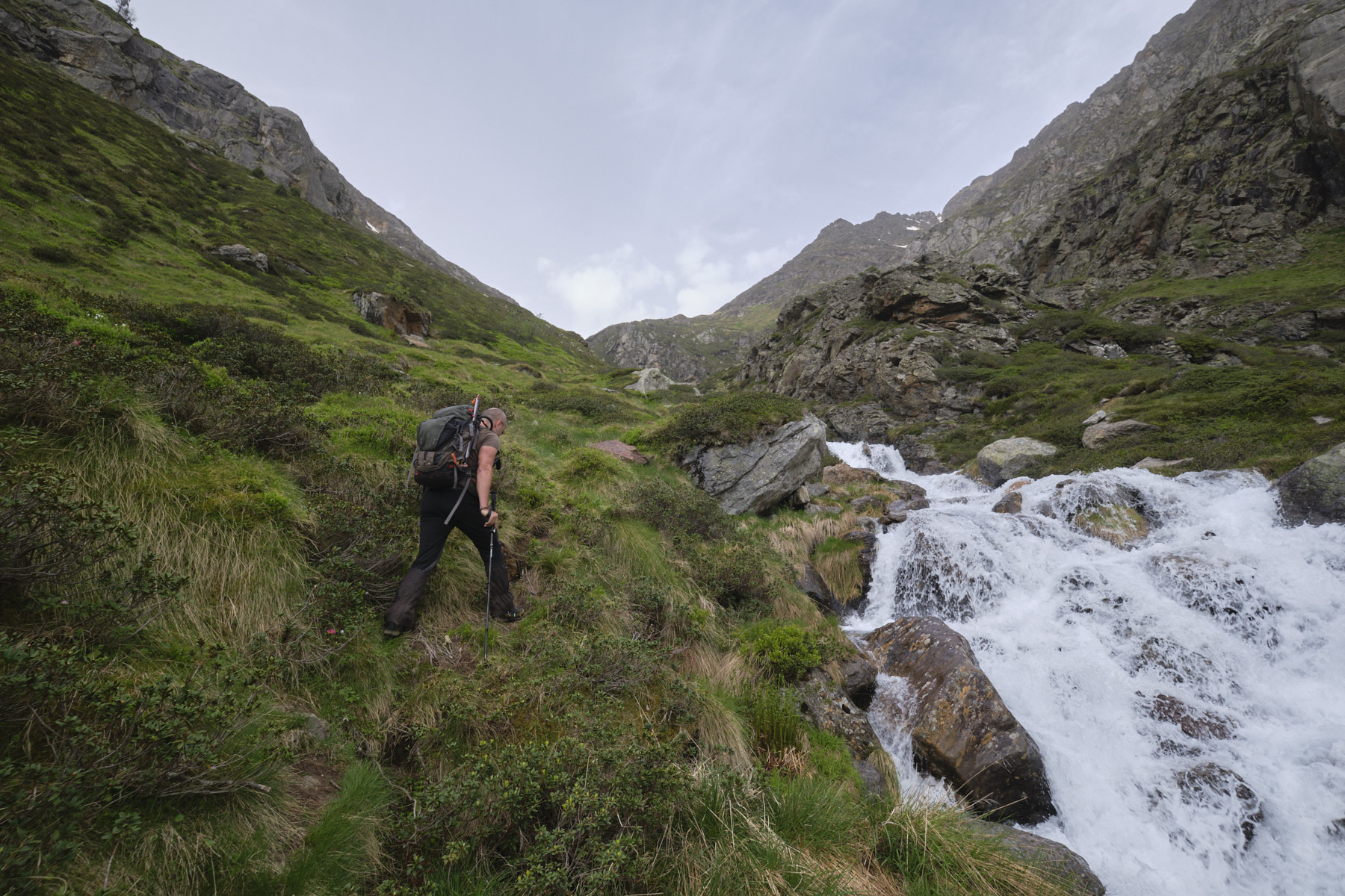
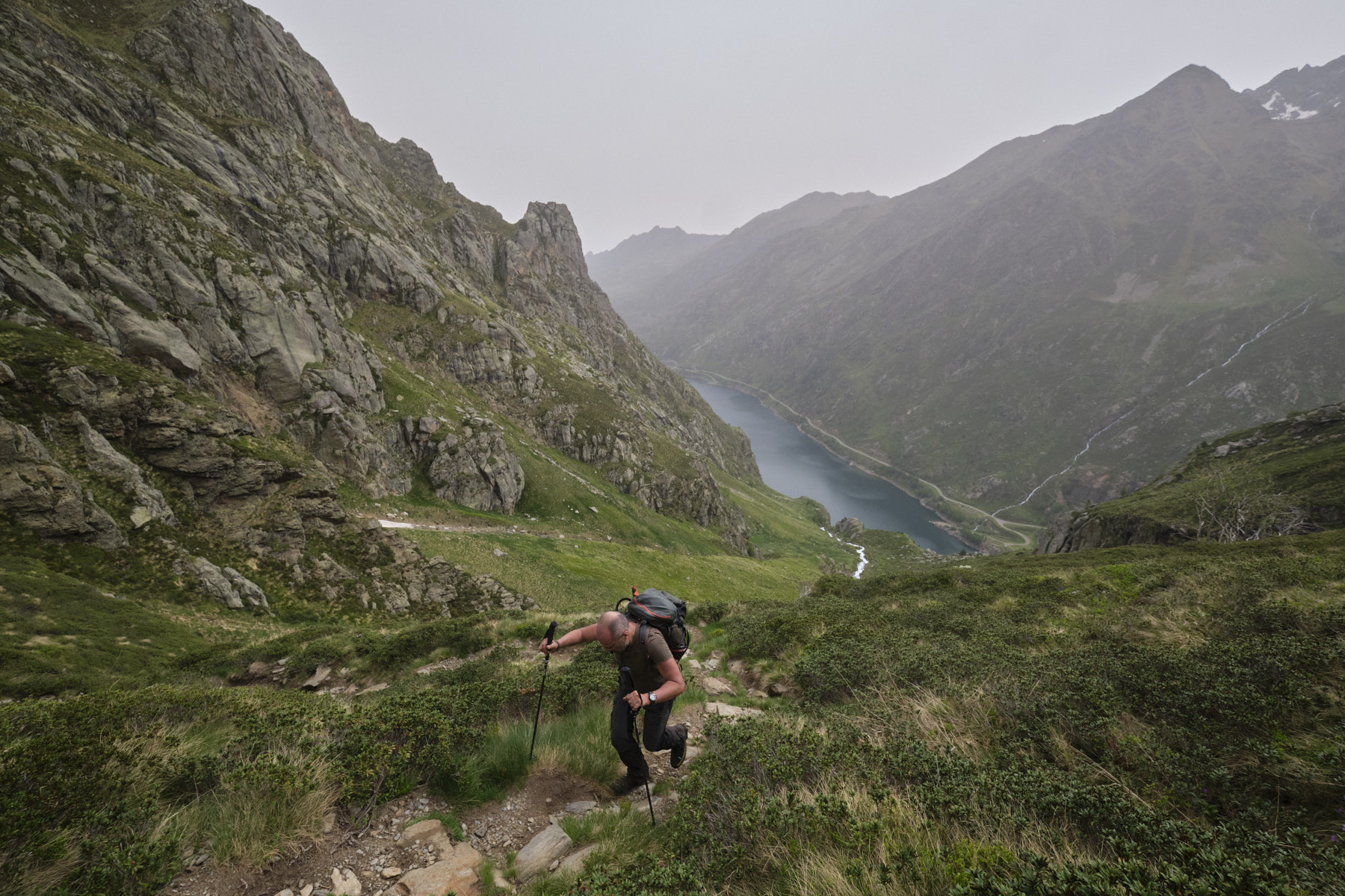
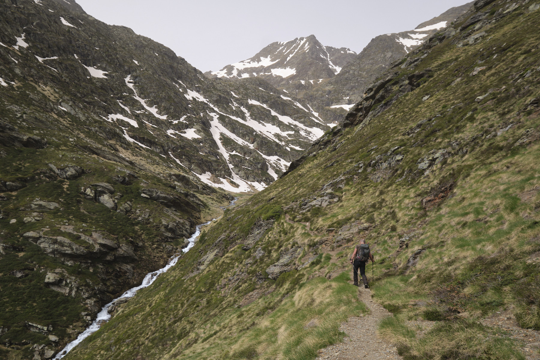
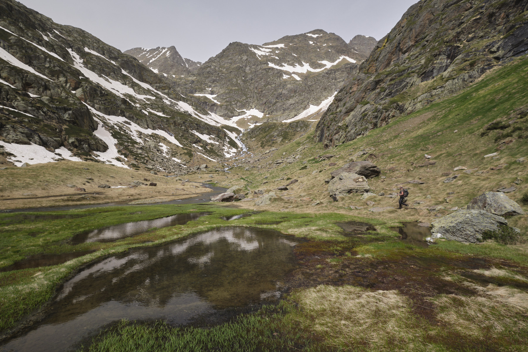
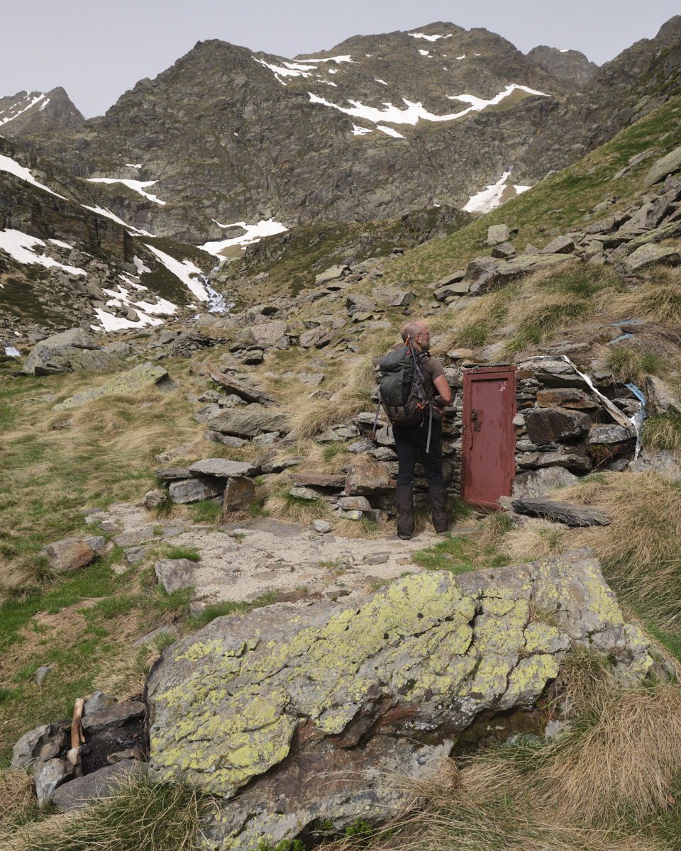
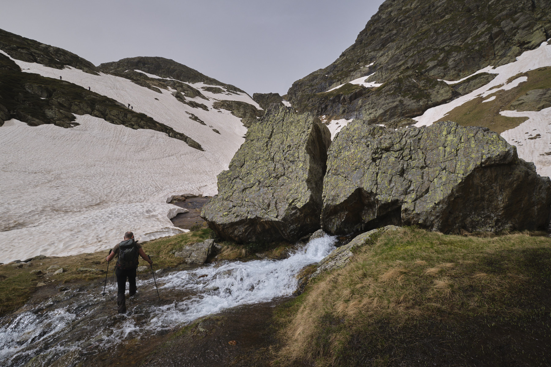
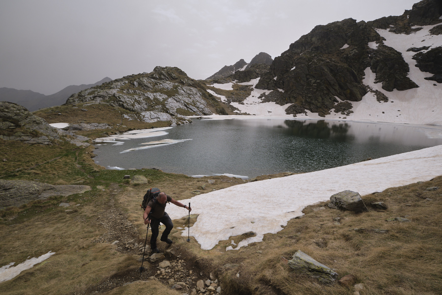
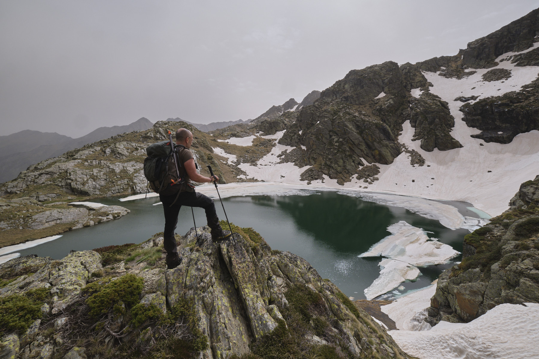
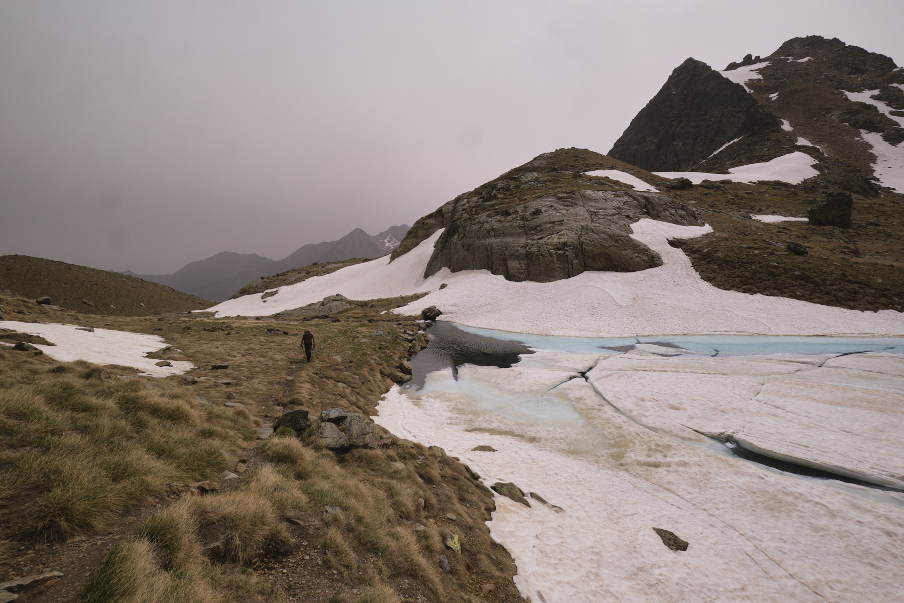
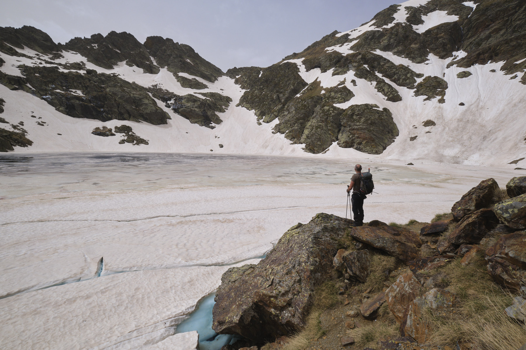
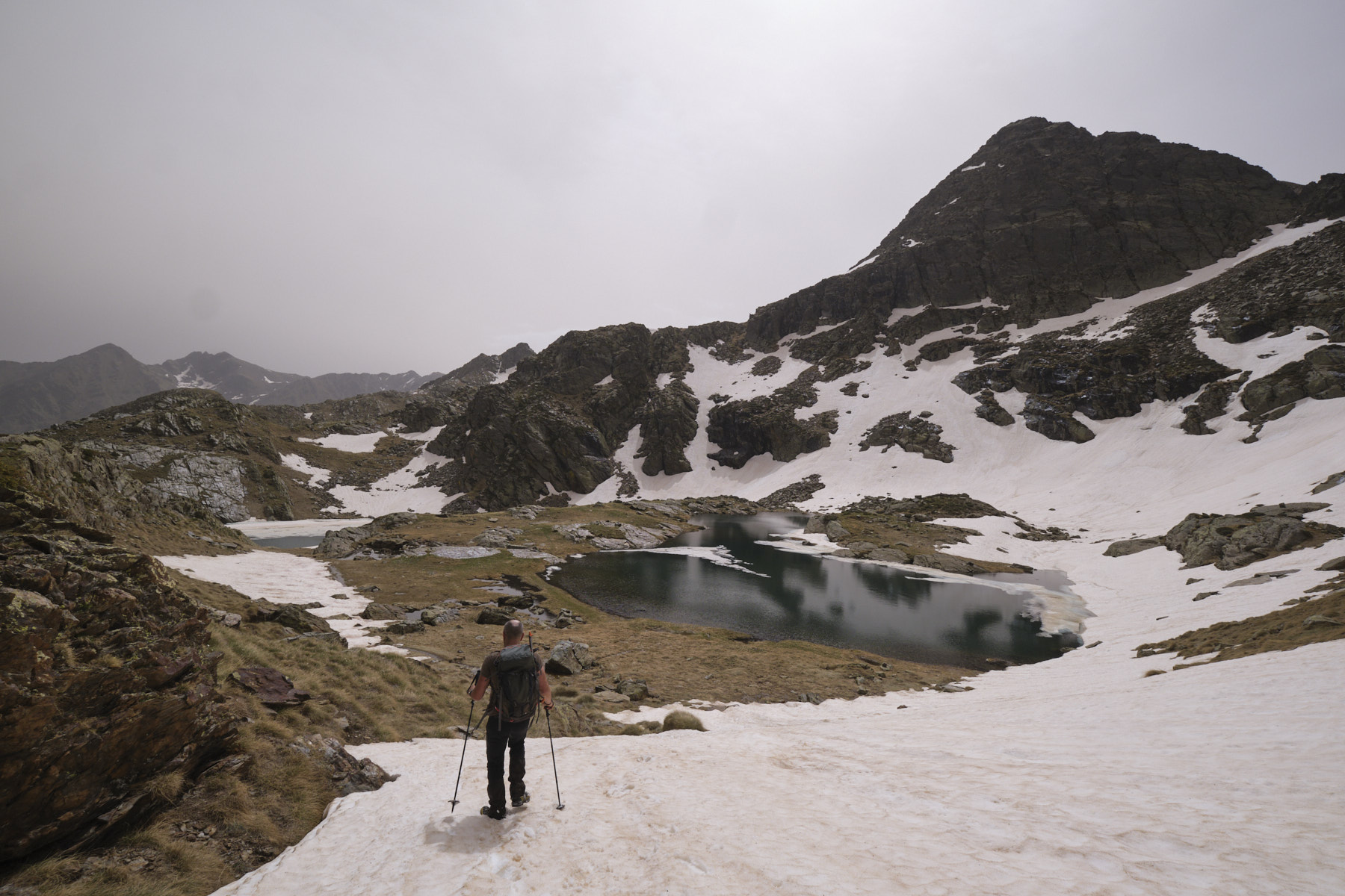
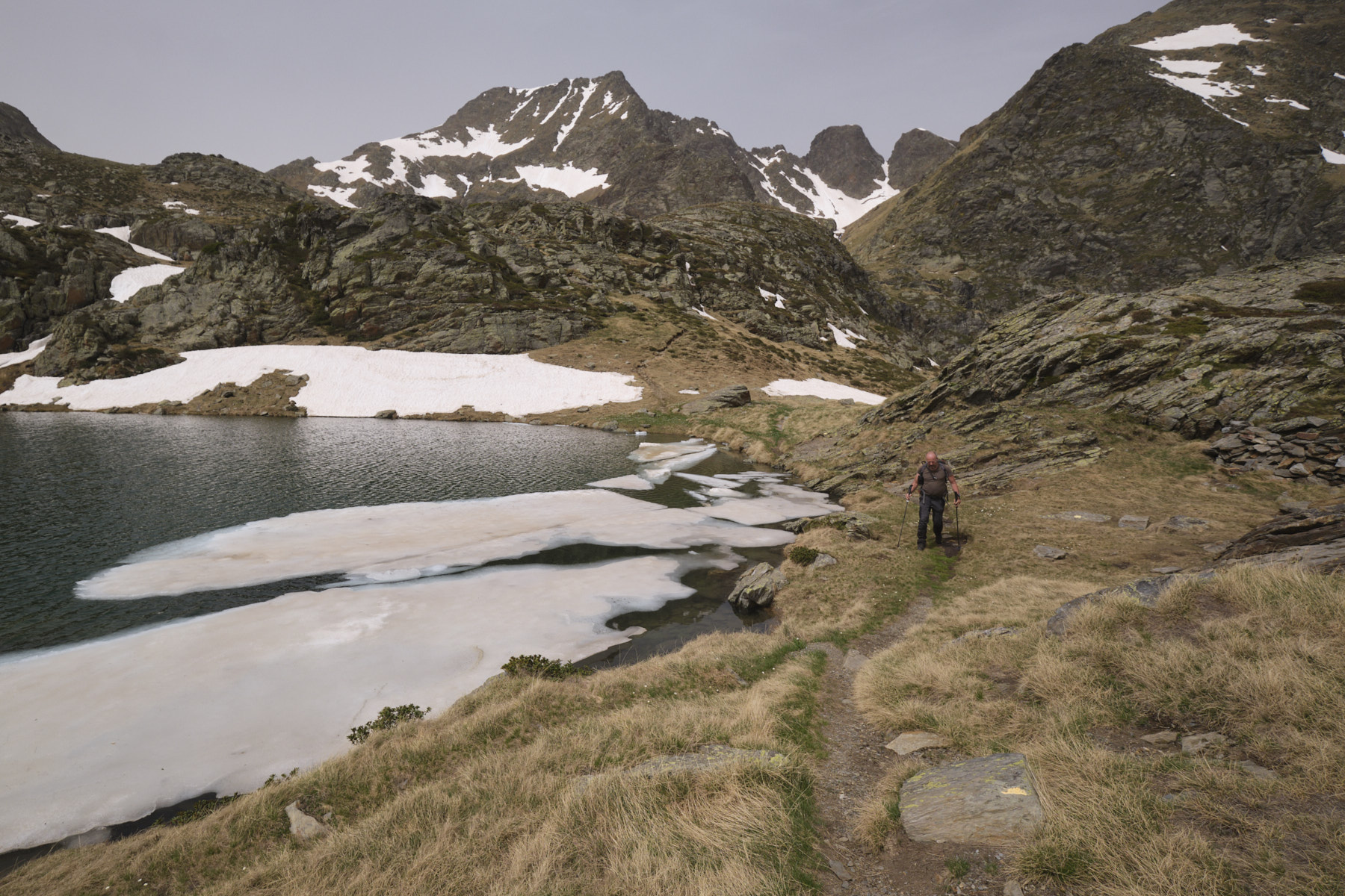
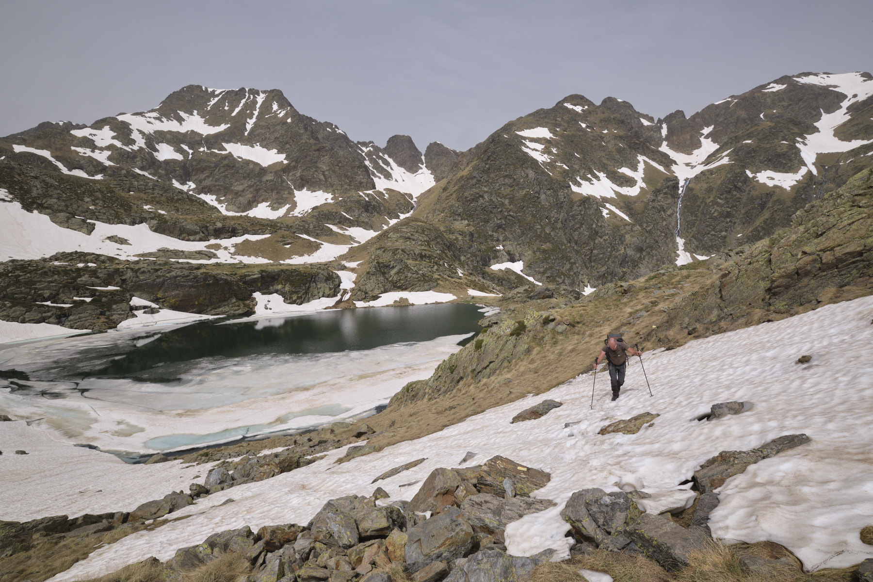
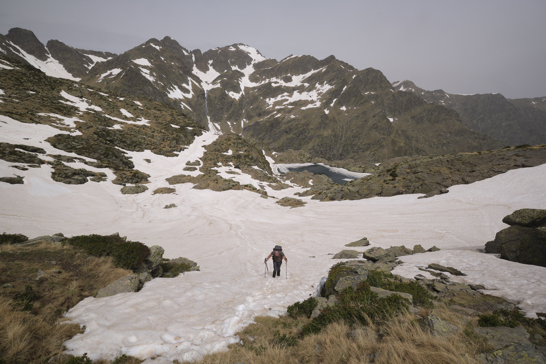
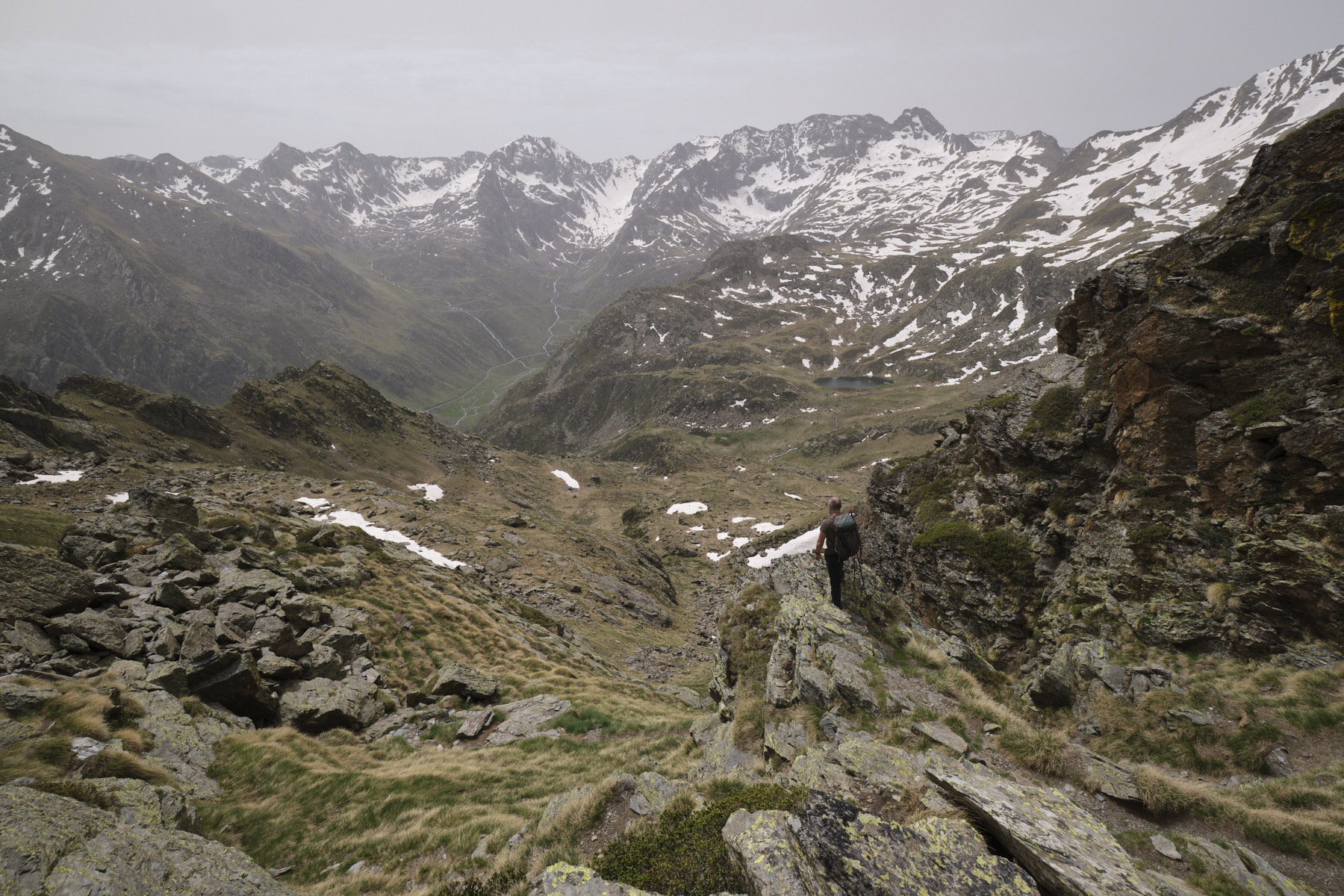
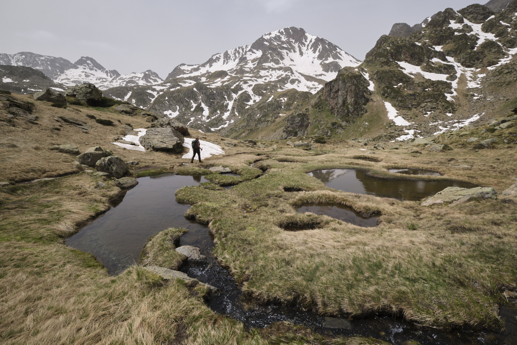
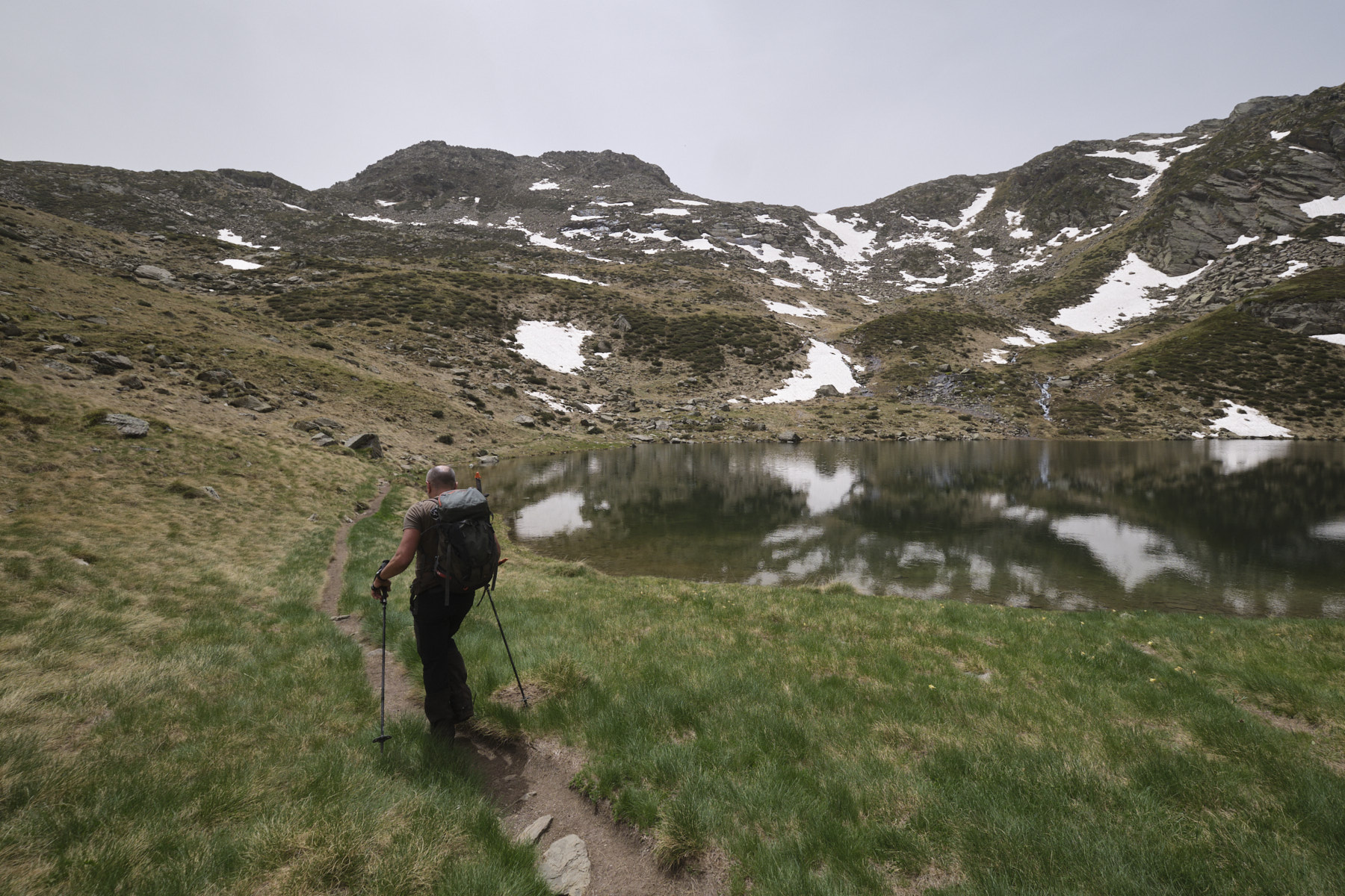
Another excursion to the end of the Soulcem valley to discover the Gardelle, Roumazet and Soucarrane ponds. A classic hike in the area, well-marked from start to finish, with no technical difficulties, but quite physical with several steep sections, including the attack on the Gardelle valley, which sets the tone. In a wild, high-mountain setting, the views over the ponds and the Soulcem valley are superb, even if today we were accompanied by diffused light and cloudy skies. We climb beneath the peaks of Pointe de Roumazet and Pic Rouge, which form the border ridge with Spain.
❱❱ Technical summary
► Departure point: parking des Orris du Carla, Étang de Soulcem, Mounicou, Auzat, Ariège (09)
► Type of route: high mountain hike
► Distance to cover: 12 km
► Cumulative elevation gain: +1100 m
► Cumulative negative elevation gain: -1100 m
► Estimated total time: 5h to 6h
► Min and max altitude: 1620 m / 2476 m
► Markings: mainly yellow, small sections of GR T62
► Equipment in place: none
► Equipment to bring: GPS track can be useful, crampons and ice axe at the beginning of the season.
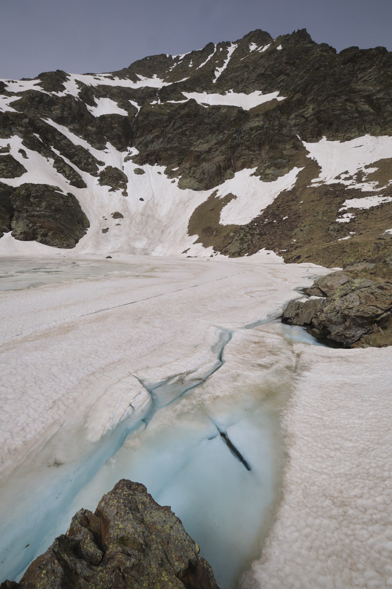
Difficulties: steep slopes, névés passages possible early in the season.
❱❱ Access to the place
On the N20, just outside Tarascon in the direction of Ax-les-Thermes, turn south to pass Vicdessos then Auzat and continue along the Vicdessos stream up to the Soulcem pond at 1600m. Park at the end of the road, on the south bank of the pond, at the Orris du Carla parking lot.
❱❱ Map & topo
❱❱ Itinéraire


Leave a Reply