Puig de Terrers from the Fanguil, Oriège Valley


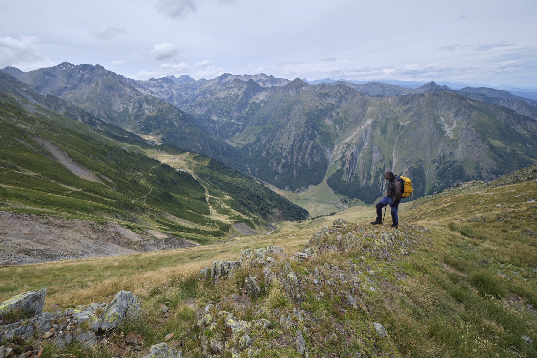
Access to Puig de Terrers via the valley leading to Porteille d'Orlu offers spectacular aerial views over the…
Read topo


Access to Puig de Terrers via the valley leading to Porteille d'Orlu offers spectacular aerial views over the…
Read topo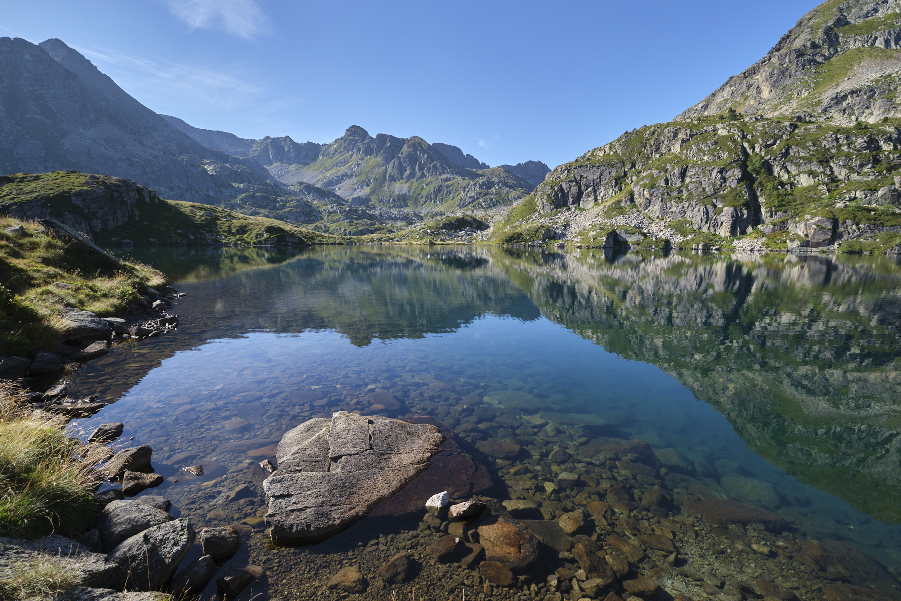
A superb hiking loop in the heart of the Aston valley to discover the magnificent Fontargente ponds, on the border…
Read topo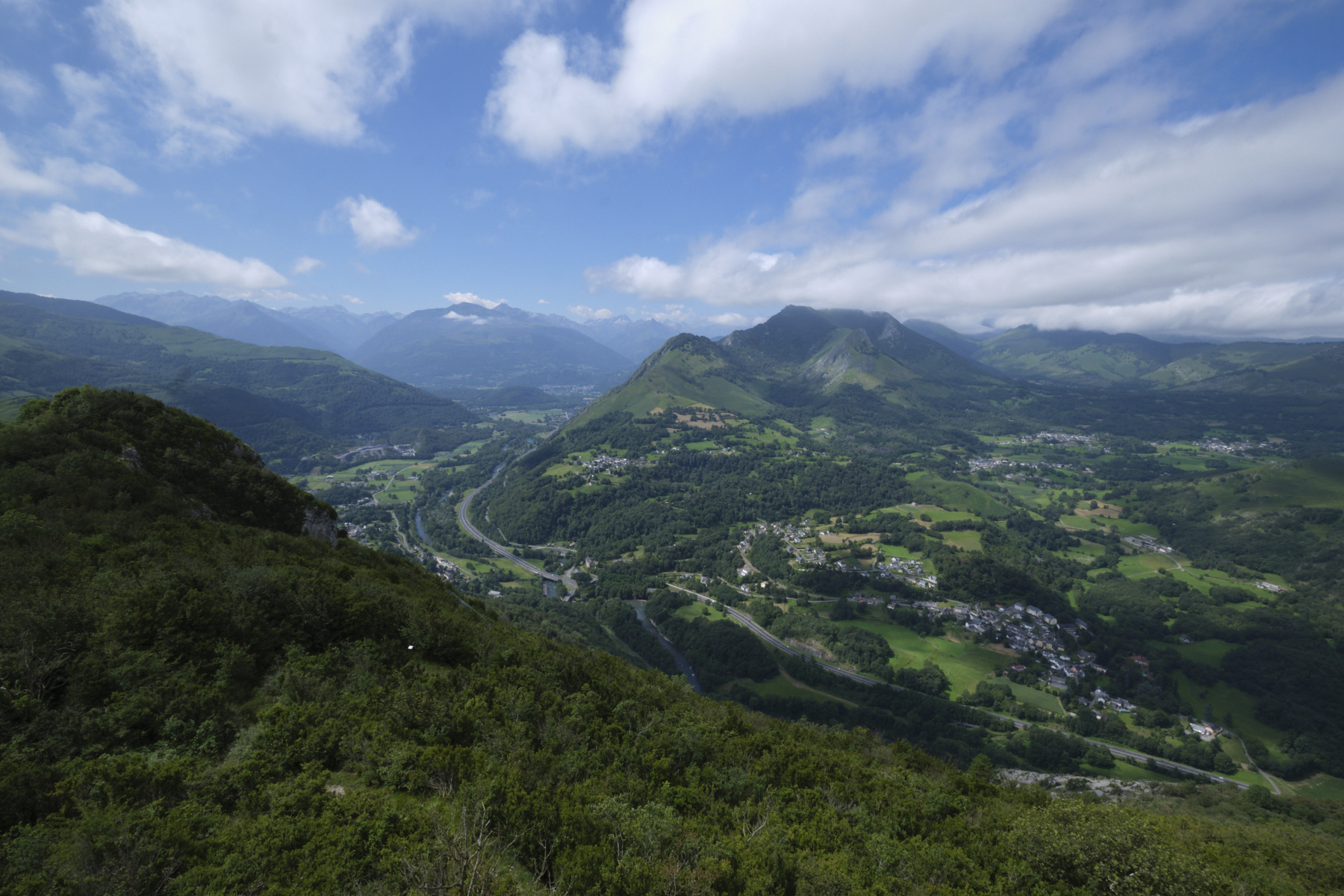
The ascent to the Pic du Grand Jer is a very accessible hike on an obvious and well-maintained path, offering an…
Read topo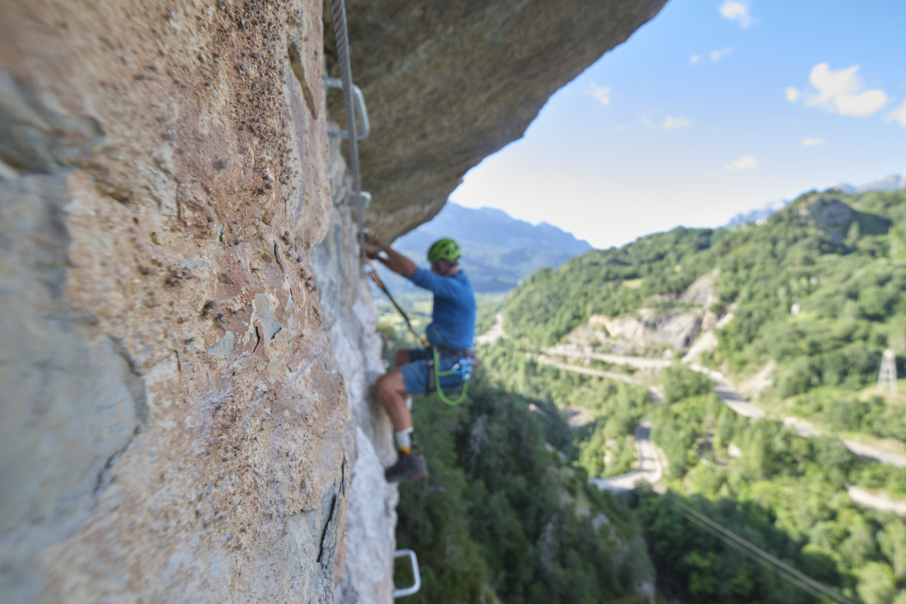
Very recent via ferrata (2022) built from the village of Escarilla, in the upper Rio Gallego valley. The route…
Read topo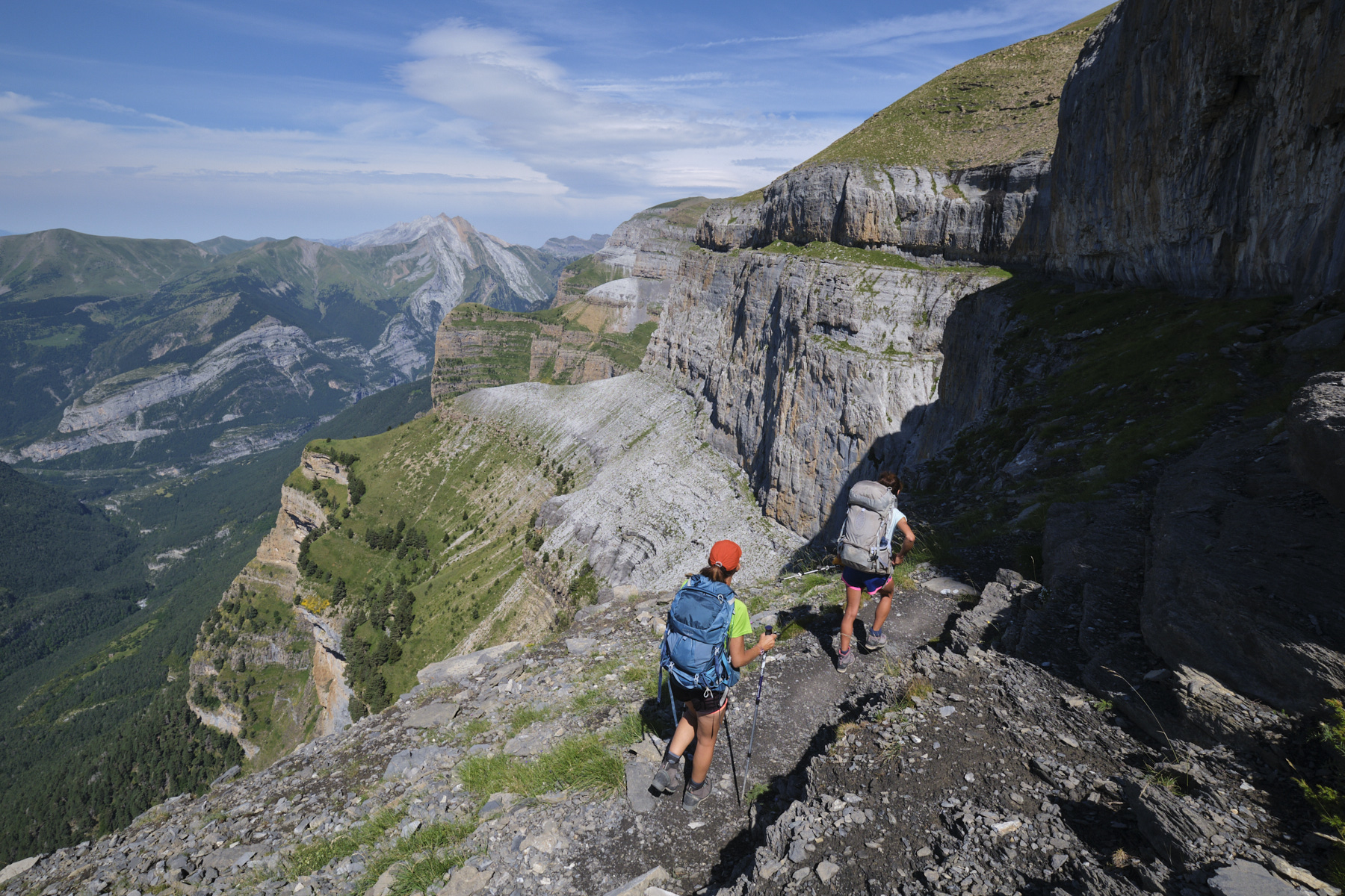
The Faja de las Flores, an exceptional route in one of the most beautiful areas of the Pyrenees. The proposed loop…
Read topo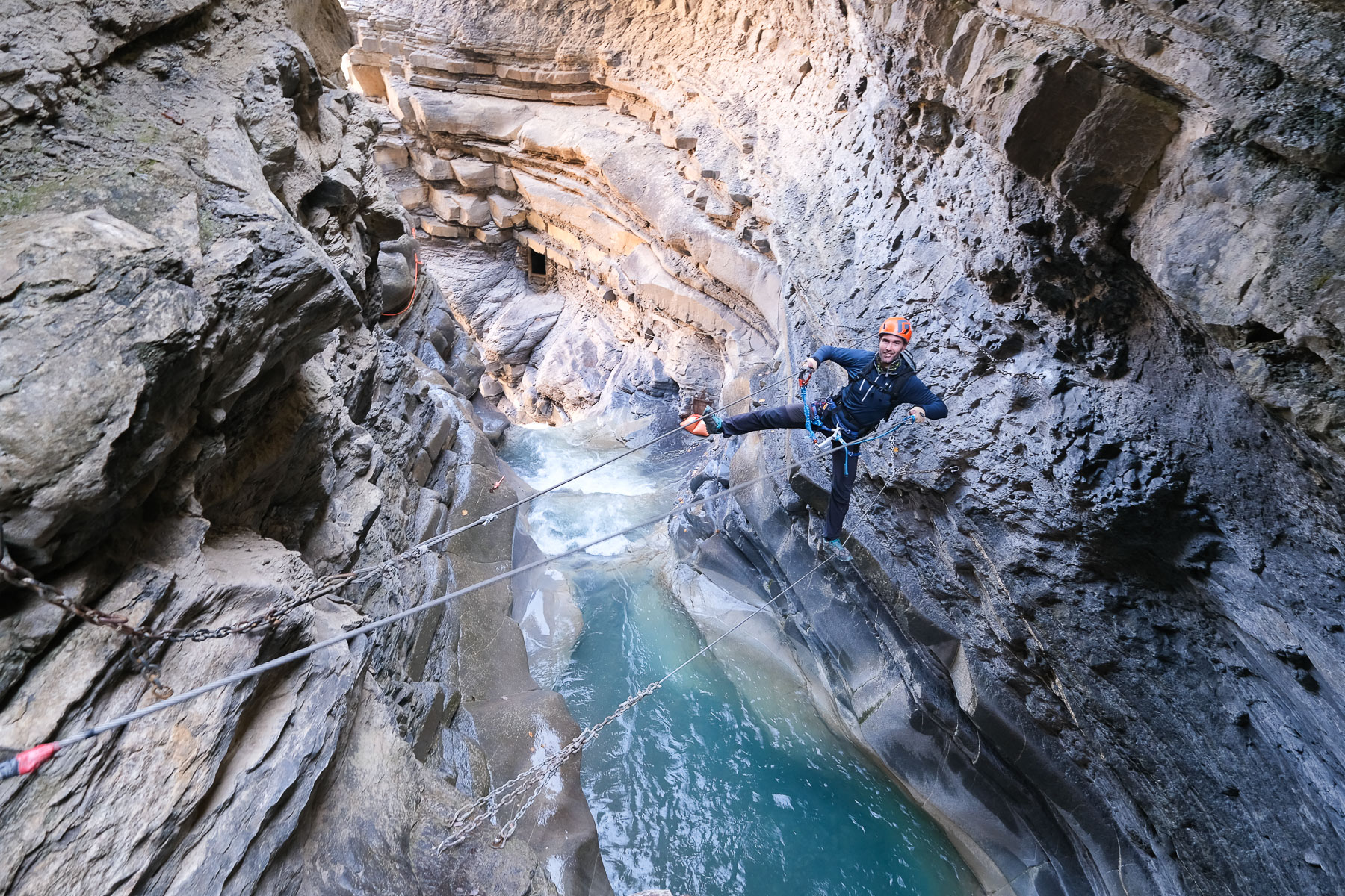
Located behind the village of Broto, at the foot of Ordesa National Park and Monte Perdido, this via ferrata is…
Read topoA classic among classics, the GR20 offers an exceptional itinerary for crossing Corsica from north to south, or vice versa, between sea and high mountains. With more than 160 kilometers of trails and over 12,000 meters of ascent, often between 1,500 and 2,500 meters above sea level, this is a challenging route for experienced hikers. But the GR20 is paying the price for its success, and for a little escape, we offer an alternative itinerary with numerous official and unofficial variants, and the ascent of some interesting peaks: Cirque de la Solitude, Paglia Orba and Capo Tafunatu, Monte d'Oro, Monte Renoso, Monte Incudine. This topo presents the GR20 as we did it in general terms, all the stages being described in more detail in the following posts.
Voir le dossier
Sur la HRP de Hendaye à Banyuls
Été 2025