
Barranco Agaete & Tamadaba, Gran Canaria


Superb weather for this 1st outing on Gran Canaria! The hike forms a lovely loop, with the 1st half...
Read topo


Superb weather for this 1st outing on Gran Canaria! The hike forms a lovely loop, with the 1st half...
Read topo
At the far end of the Ustou valley, above Saint-Girons, the Cirque de Cagateille forms a natural barrier to our…
Read topo
The Cala del Molí course, recently re-equipped and re-opened, offers an original itinerary above the Mediterranean,…
Read topo
A 1st route on the impressive Quié de Sinsat site overlooking the Ariège valley leading to Ax-Les-Thermes. L'amie…
Read topo
From the Col de Lers, which marks the transition between the Haut-Couserans and the Vicdessos valley, the route up…
Read topo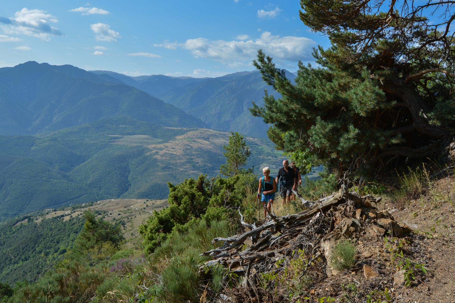
Starting from Jujols, a pretty little Catalan village facing the Canigou mountain, the quarry trail forms a looped…
Read topoA classic among classics, the GR20 offers an exceptional itinerary for crossing Corsica from north to south, or vice versa, between sea and high mountains. With more than 160 kilometers of trails and over 12,000 meters of ascent, often between 1,500 and 2,500 meters above sea level, this is a challenging route for experienced hikers. But the GR20 is paying the price for its success, and for a little escape, we offer an alternative itinerary with numerous official and unofficial variants, and the ascent of some interesting peaks: Cirque de la Solitude, Paglia Orba and Capo Tafunatu, Monte d'Oro, Monte Renoso, Monte Incudine. This topo presents the GR20 as we did it in general terms, all the stages being described in more detail in the following posts.
Voir le dossier
Sur la HRP de Hendaye à Banyuls
Été 2025