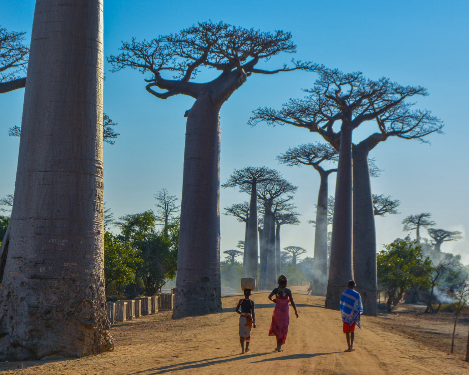
Mangily, Morondava tour


The final stage of the Trail de l'Ile Rouge, a course that starts at the baobab alley and crosses the bush to the…
Read topo


The final stage of the Trail de l'Ile Rouge, a course that starts at the baobab alley and crosses the bush to the…
Read topo
Deep in the west of Madagascar, 150 kms north of Morondava, the Tsingy de Bemaraha stand in the middle of the bush...
Read topo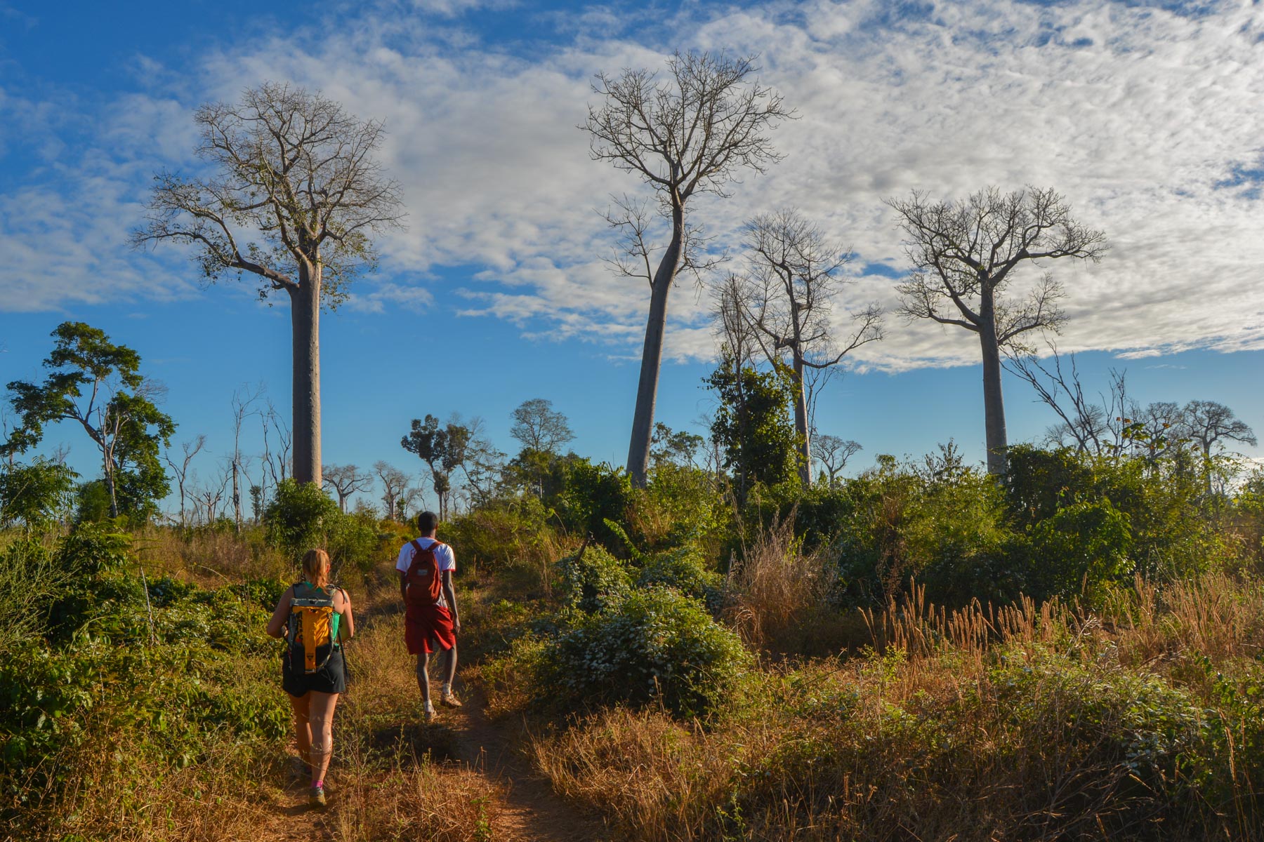
Dive into western Madagascar along the wide, winding Tsiribihina River, which joins the Mozambique Channel at…
Read topo
Entering the great Malagasy West, the trail follows the ridges, with little difference in altitude but a panoramic…
Read topo
To the south of the Ankaratra massif, west of Antsirabe and starting from the small town of Betafo, the route for…
Read topo
A totally improvised itinerary from Cap Diego, in the bay of Antsiranana, over the ridges to the ruins of Windsor…
Read topoA classic among classics, the GR20 offers an exceptional itinerary for crossing Corsica from north to south, or vice versa, between sea and high mountains. With more than 160 kilometers of trails and over 12,000 meters of ascent, often between 1,500 and 2,500 meters above sea level, this is a challenging route for experienced hikers. But the GR20 is paying the price for its success, and for a little escape, we offer an alternative itinerary with numerous official and unofficial variants, and the ascent of some interesting peaks: Cirque de la Solitude, Paglia Orba and Capo Tafunatu, Monte d'Oro, Monte Renoso, Monte Incudine. This topo presents the GR20 as we did it in general terms, all the stages being described in more detail in the following posts.
Voir le dossier
Sur la HRP de Hendaye à Banyuls
Été 2025