
Mirador 360°, Minca, Sierra Nevada National Park


A little to the south of Santa Marta, the village of Minca takes advantage of its relative altitude to offer a…
Read topo


A little to the south of Santa Marta, the village of Minca takes advantage of its relative altitude to offer a…
Read topo
In the center of the Tabe massif, on the south side, the ascent of the Pic de Girabal via the Etang d'Appy is an…
Read topo
We set off to do the Pic de la Coume d'enfer, but a misdirection led us to discover a nearby summit, the Tossa de…
Read topo
Here's a short, accessible loop to discover the famous Cocora valley and its wax palms or Ceroxylon quindiuense,…
Read topo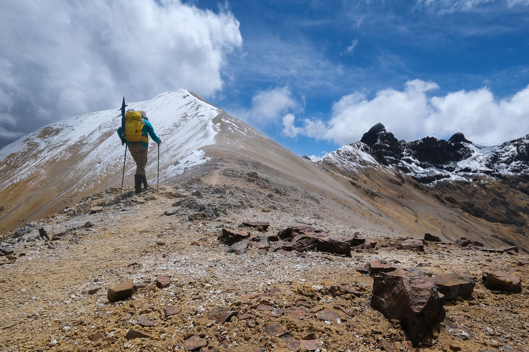
An exceptional hike to discover the Los Nevados Natural Park, starting from Salento in the department of Quindío.…
Read topo
Departing from Santa Rosa, in the heart of Colombia's coffee-growing region, this hike forms a long loop to reach…
Read topoA classic among classics, the GR20 offers an exceptional itinerary for crossing Corsica from north to south, or vice versa, between sea and high mountains. With more than 160 kilometers of trails and over 12,000 meters of ascent, often between 1,500 and 2,500 meters above sea level, this is a challenging route for experienced hikers. But the GR20 is paying the price for its success, and for a little escape, we offer an alternative itinerary with numerous official and unofficial variants, and the ascent of some interesting peaks: Cirque de la Solitude, Paglia Orba and Capo Tafunatu, Monte d'Oro, Monte Renoso, Monte Incudine. This topo presents the GR20 as we did it in general terms, all the stages being described in more detail in the following posts.
Voir le dossier
Sur la HRP de Hendaye à Banyuls
Été 2025