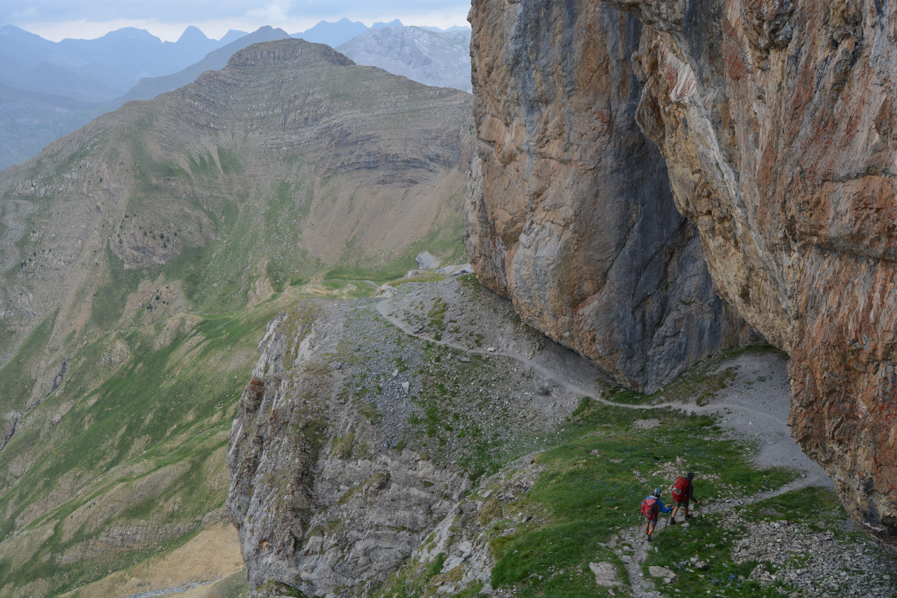
Forquete de Gabietou, Monte Perdido J3, Aragon


End of the route: after Monte Perdido, the Faja de los Flores, an original return on a new, no less aerial route ...
Read topo


End of the route: after Monte Perdido, the Faja de los Flores, an original return on a new, no less aerial route ...
Read topo
From the summit of Monte Perdido, day 2 of the loop takes us down into the Ordesa canyon on the south side, and then…
Read topo
Starting from the Col des Tentes above Gavarnie, day 1 of the Ordesa National Park loop crosses the Brèche de…
Read topo
The 1st 3000m peak in the Pyrenees to be climbed from the West, the Balaïtous peak is a long, steep route with an…
Read topo
At the end of the Biros valley in the Haut-Couserans, this superb loop climbs the northern ridge of the Mail du…
Read topo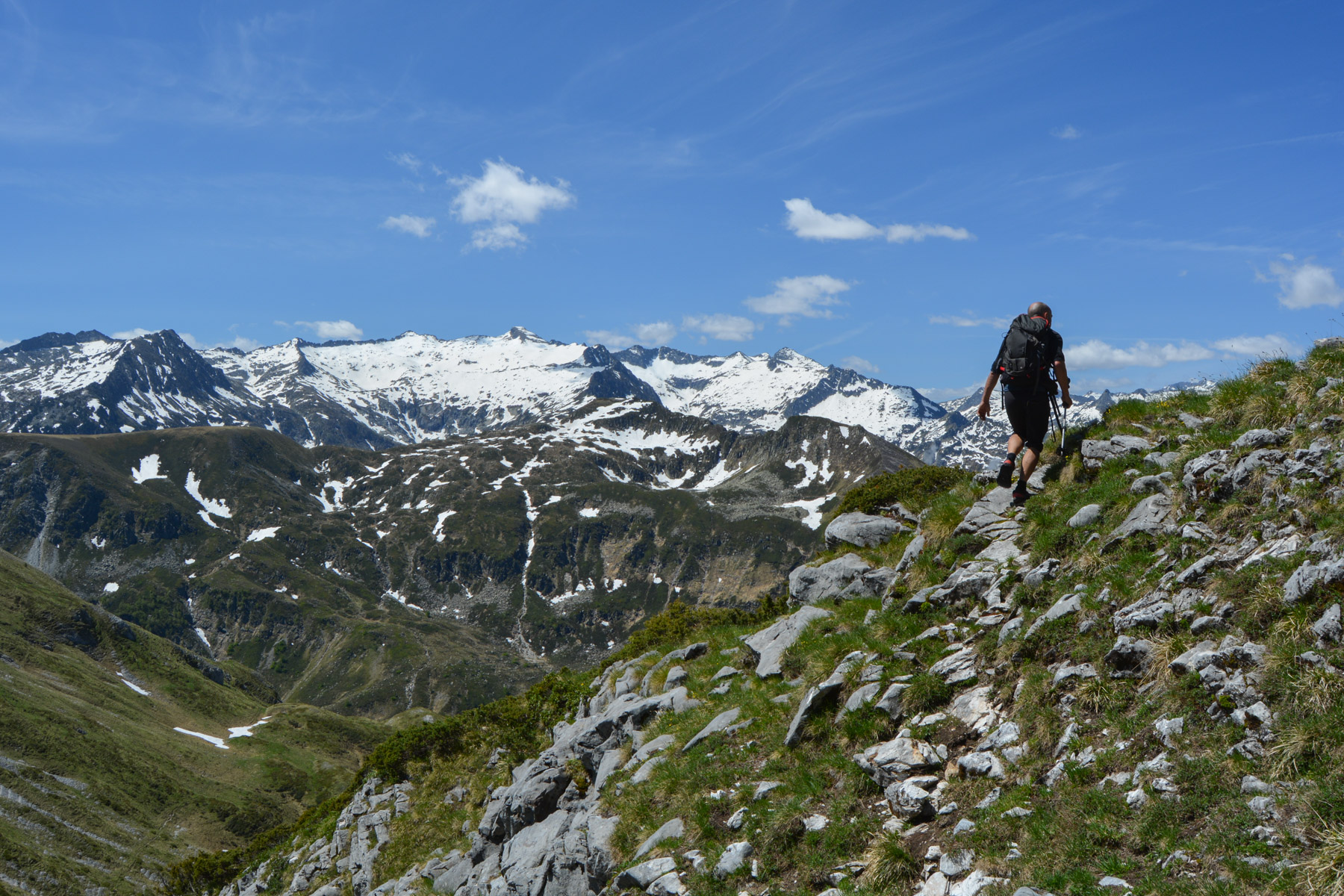
Starting from the pretty little village of Saleix in Ariège, the ascent of the Pic de Girantès or Mont Ceint…
Read topoA classic among classics, the GR20 offers an exceptional itinerary for crossing Corsica from north to south, or vice versa, between sea and high mountains. With more than 160 kilometers of trails and over 12,000 meters of ascent, often between 1,500 and 2,500 meters above sea level, this is a challenging route for experienced hikers. But the GR20 is paying the price for its success, and for a little escape, we offer an alternative itinerary with numerous official and unofficial variants, and the ascent of some interesting peaks: Cirque de la Solitude, Paglia Orba and Capo Tafunatu, Monte d'Oro, Monte Renoso, Monte Incudine. This topo presents the GR20 as we did it in general terms, all the stages being described in more detail in the following posts.
Voir le dossier
Sur la HRP de Hendaye à Banyuls
Été 2025