
Tête de Longet, Queyras


Magnificent run in the heart of the Queyras, starting from Saint-Véran. The route climbs up a long valley visible…
Read topo


Magnificent run in the heart of the Queyras, starting from Saint-Véran. The route climbs up a long valley visible…
Read topo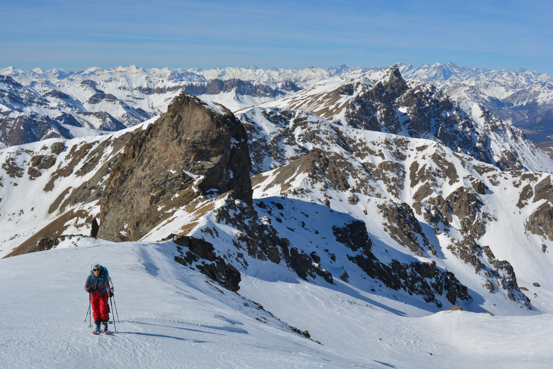
A great run, in glorious weather, with a 3000m run and 360° views of Mont Viso and the Southern Alps.
Read topo
First outing in the Queyras, in the Valpréveyre valley on the Italian border. An easy ascent to the Col de…
Read topo
Leaving the Col de Puymorens at 1915m, the route climbs northeast up a wide valley to reach Porteille d'En Garcie...
Read topo
Read topo

Guadayeque, a canyon with Latin American resonance, which rises from the island's south-east coast towards the…
Read topoA classic among classics, the GR20 offers an exceptional itinerary for crossing Corsica from north to south, or vice versa, between sea and high mountains. With more than 160 kilometers of trails and over 12,000 meters of ascent, often between 1,500 and 2,500 meters above sea level, this is a challenging route for experienced hikers. But the GR20 is paying the price for its success, and for a little escape, we offer an alternative itinerary with numerous official and unofficial variants, and the ascent of some interesting peaks: Cirque de la Solitude, Paglia Orba and Capo Tafunatu, Monte d'Oro, Monte Renoso, Monte Incudine. This topo presents the GR20 as we did it in general terms, all the stages being described in more detail in the following posts.
Voir le dossier
Sur la HRP de Hendaye à Banyuls
Été 2025