Crêtes du Col de Joux au Cap de Carbone from Petches


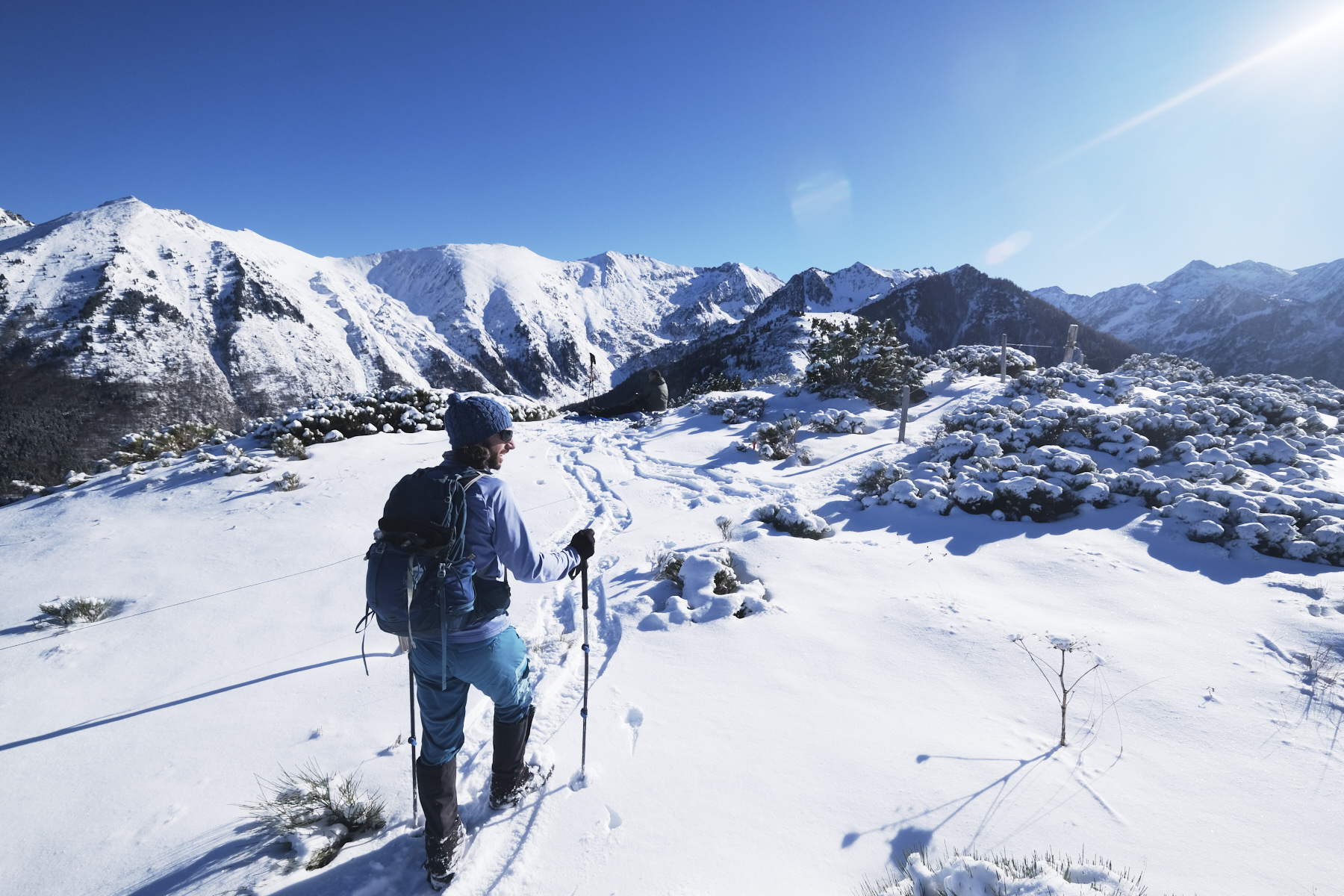
From Petches, the path climbs up through the forest to reach the Col de Joux and its hut, between the valley of the…
Read topo


From Petches, the path climbs up through the forest to reach the Col de Joux and its hut, between the valley of the…
Read topo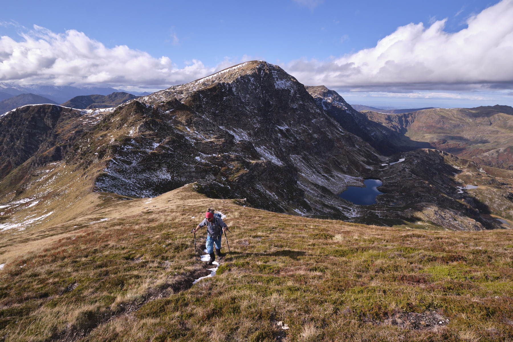
Panoramic loop with more than 7 kilometers of ridges facing the Pyrenees and plunging views over Etang d'Arbu, Etang…
Read topo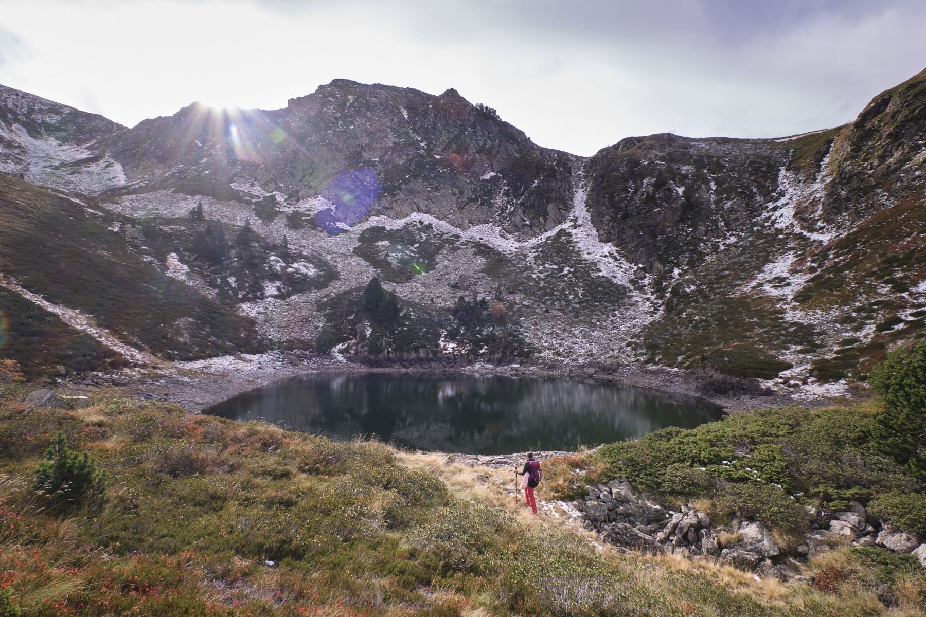
From the Ascou-Pailhères ski resort, a short path climbs above the ski area to access a small upper valley below…
Read topo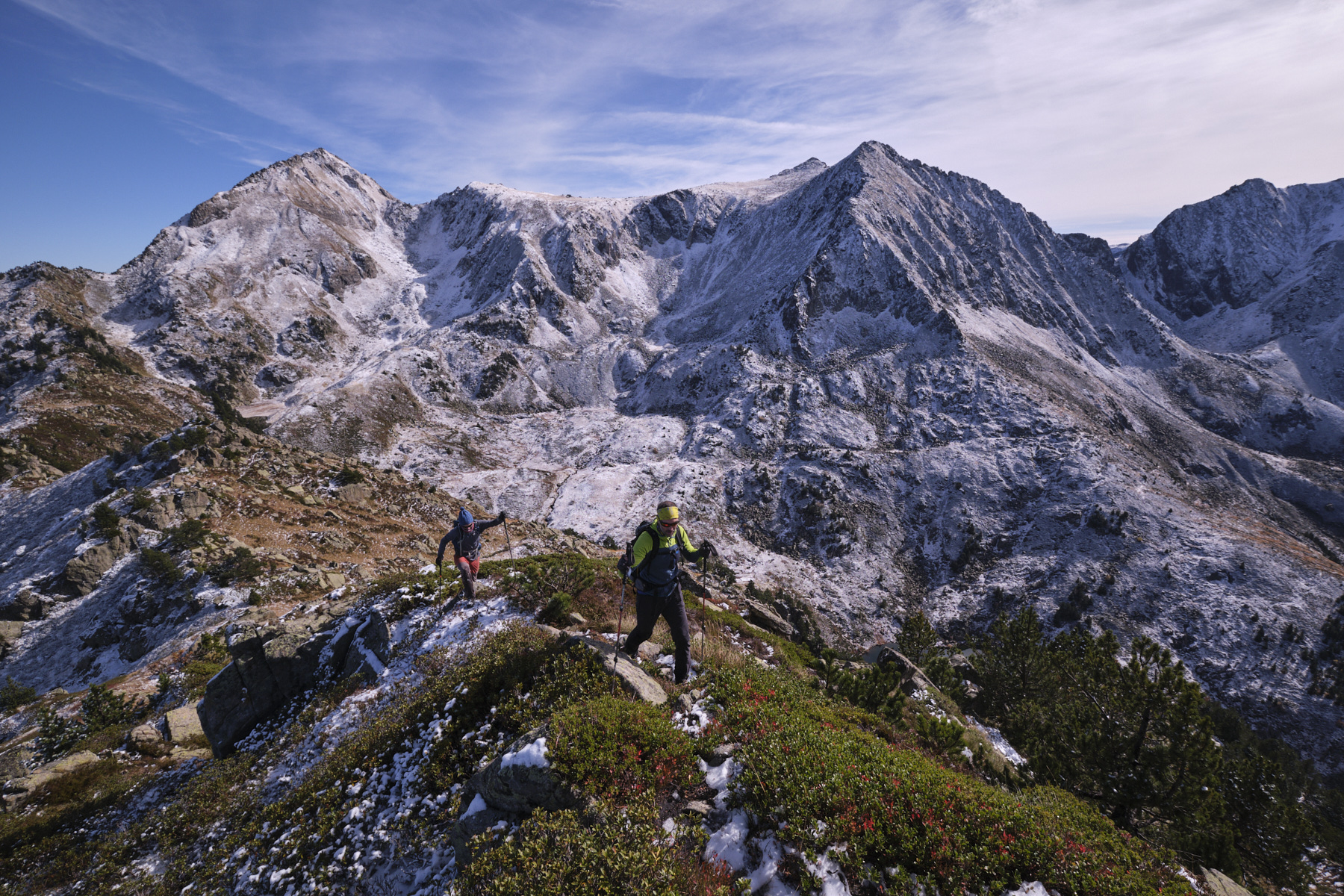
A magnificent loop between Donezan and the Orlu valley, an accessible ridge route with exceptional panoramic views…
Read topo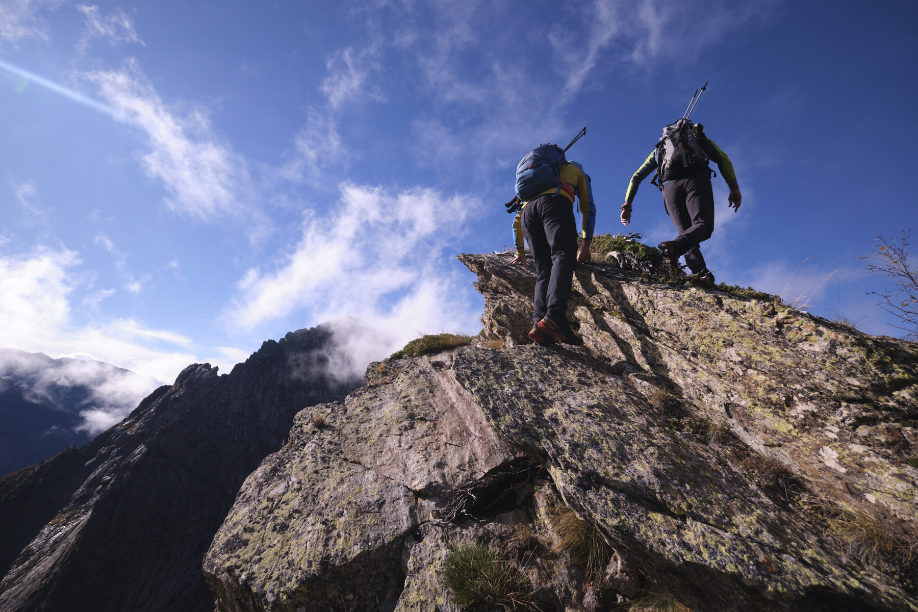
The hiking loop proposed from Coume Grande gives access to the ridges of Sarrat de Casalins and Sarrat de Coste…
Read topo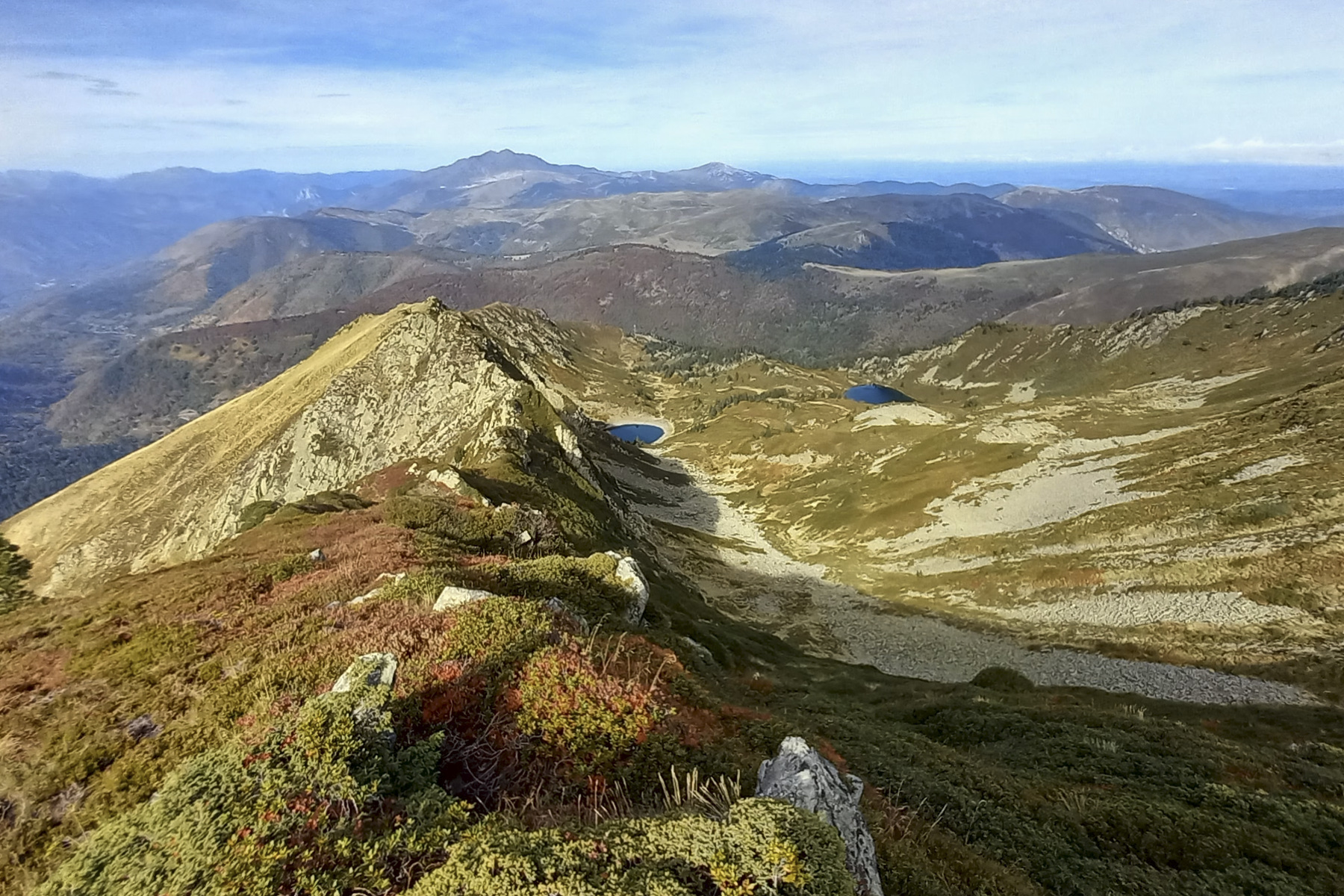
Here's an original, unusual and wild way to climb to the summit of Pic du Tarbésou. And with good reason, as the…
Read topoA classic among classics, the GR20 offers an exceptional itinerary for crossing Corsica from north to south, or vice versa, between sea and high mountains. With more than 160 kilometers of trails and over 12,000 meters of ascent, often between 1,500 and 2,500 meters above sea level, this is a challenging route for experienced hikers. But the GR20 is paying the price for its success, and for a little escape, we offer an alternative itinerary with numerous official and unofficial variants, and the ascent of some interesting peaks: Cirque de la Solitude, Paglia Orba and Capo Tafunatu, Monte d'Oro, Monte Renoso, Monte Incudine. This topo presents the GR20 as we did it in general terms, all the stages being described in more detail in the following posts.
Voir le dossier
Sur la HRP de Hendaye à Banyuls
Été 2025